Calpe — Finestrat & Guadalest
About this Route
← Costa Blanca Cycling GuideFive categorised climbs across 153 kilometres and 3,152 metres of elevation. Alt de Finestrat opens beneath the Puig Campana massif, followed by Port de Tudons, Alto de Torremanzanas, Port de Benifallim, and CV-710 to Confrides. Tadej Pogačar set the Strava KOM on CV-710 in December 2025 — 18:01 at 30.2 km/h. A route that rewards patience and consistent nutrition management.
We rode this in March 2026, and it is one of the longest rides we've done from Calpe. Five categorised climbs across 153 km demand respect — we started at dawn, with pockets full of gels and bars, determined to hold a steady pace all day.
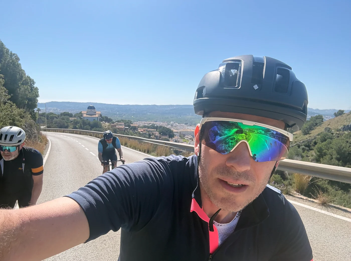
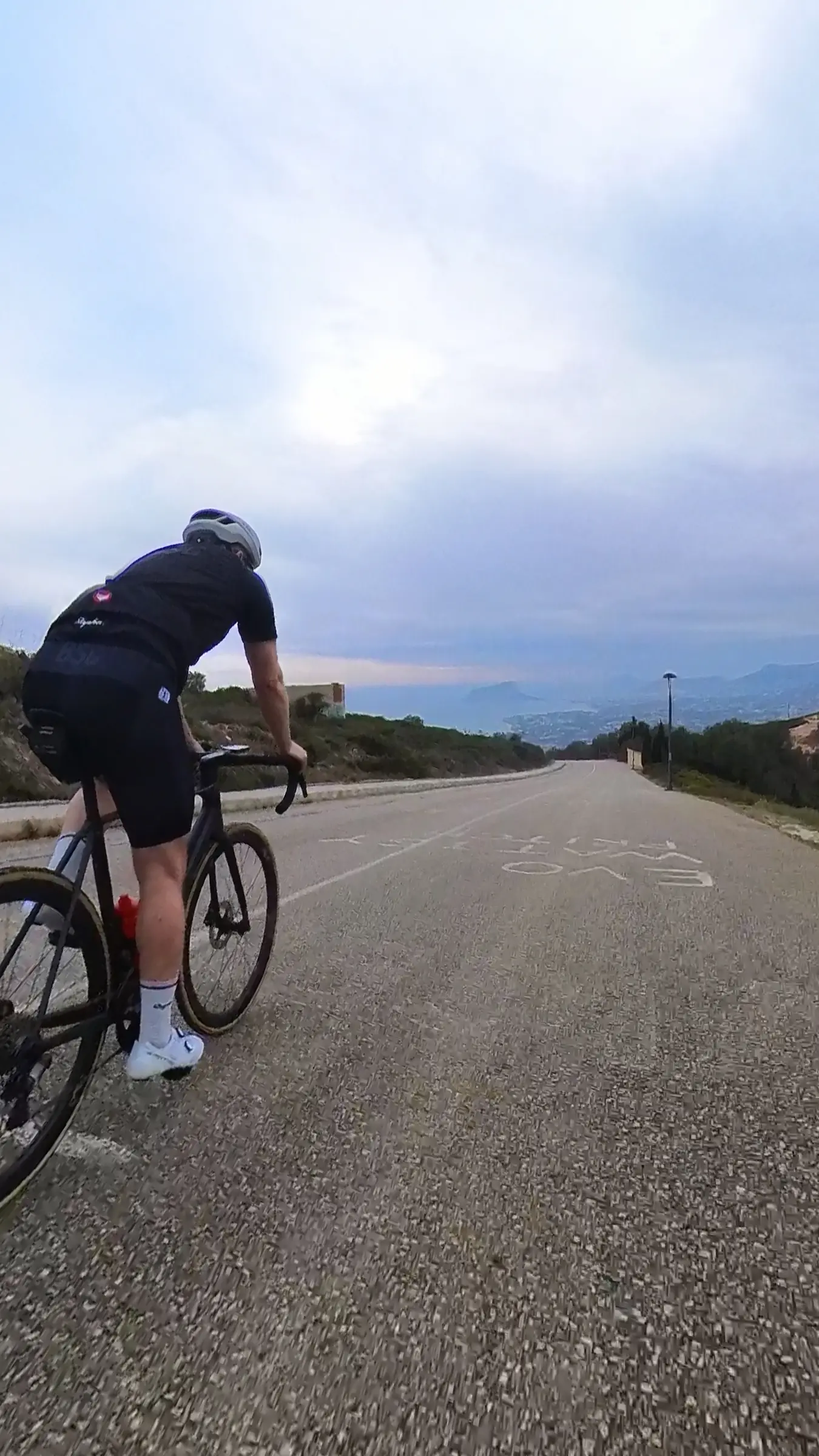
The route heads south out of Calpe through Altea before turning inland toward Finestrat. We stopped at Bar El Cantonet in the village to fuel up before Tudons — espresso and bocadillo, refilled the bottles. With a 15 km climb ahead of us, the timing was right. The Finestrat climb itself is 3.9 km at 5.1% average, opening beneath the Puig Campana massif. The view back toward the coast gets better with every kilometre you climb.
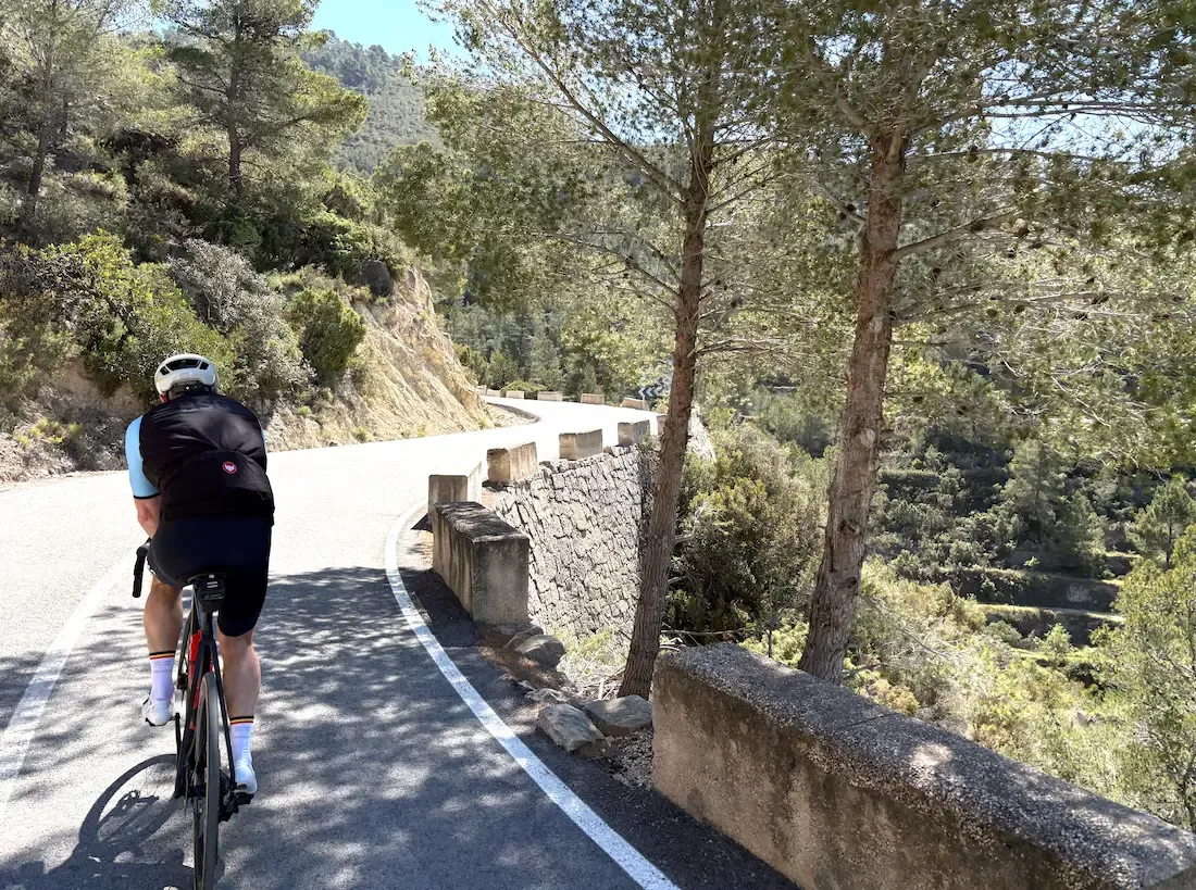
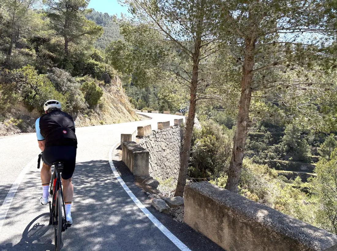
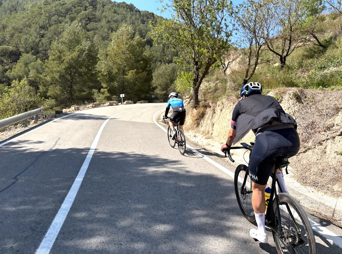
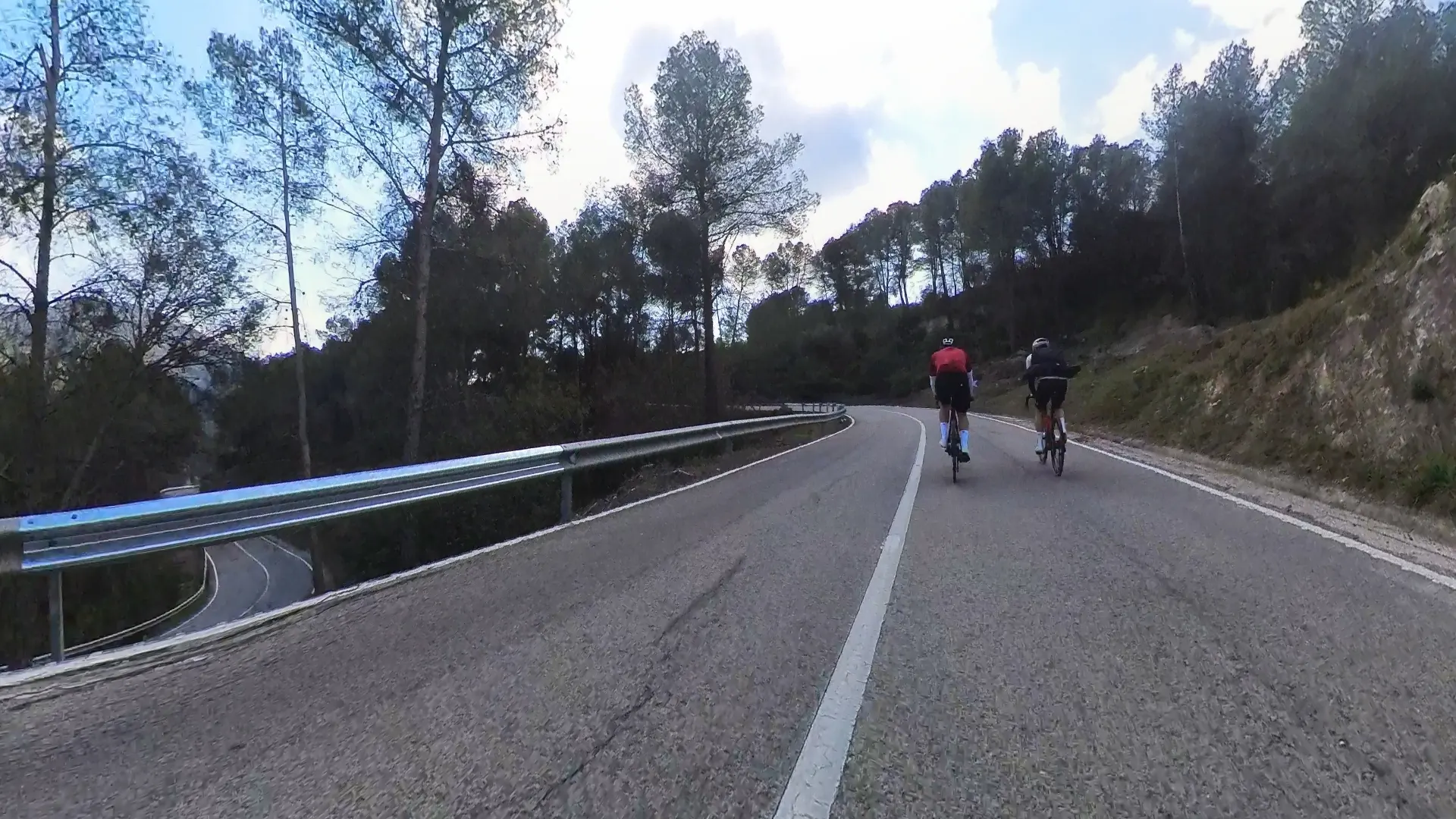
After Finestrat comes Port de Tudons, but we don't ride the whole climb. About 5-6 km before the summit, we turn off the Tudons road and take a small mountain pass over the ridge. The road is narrow, the tarmac good, and there are almost no cars here. It cuts through a gap in the rock before dropping down to the valley toward Torremanzanas. This is what makes the route distinct — the landscape is vast, and you've rarely felt so alone on the bike as here.
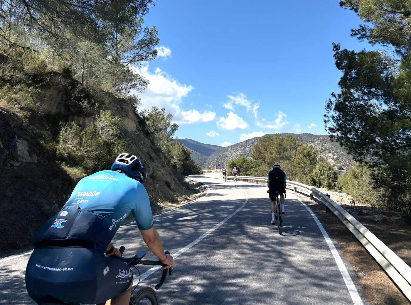
Alto de Torremanzanas is 8.3 km at 5.1% average, but the average hides what actually happens. The climb alternates between near-flat sections and short ramps up to 15% — you never quite settle into a rhythm before it changes character again. We stopped at Restaurant La Font in the village of Torremanzanas at the top, 700 metres above sea level. A quiet Spanish mountain village — barely a soul about, coffee in the sun, and a good place to breathe before Benifallim. Port de Benifallim comes right after, 3.8 km at 5.5%. Shorter than Torremanzanas, but you feel it because you've got 75 km in the legs. Drop into a low gear and hold the rhythm — don't push.
After Benifallim there are a few kilometres of rolling terrain before the climb to Confrides begins. 9 km at 4.5% average up to the village of Confrides itself. This is the climb where Tadej Pogačar set the Strava record in December 2025 — 18:01 at 30.2 km/h average. We were quite a bit slower 😅. On paper it's not bad, but you've got 95 km in the legs when you start it, and you feel it. La Venta de Pep de Toni in Confrides is a mandatory stop — take your time for a proper break here, refill the bottles, don't rush on. After this it's 40 km downhill and home to Calpe.
The final 40 kilometres follow the Guadalest valley down to the coast — mostly downhill, with a few small climbs along the way. We rolled home in the afternoon light. A long day, but not a brutal day. It's the route that costs, not any single climb.
Kilometre by Kilometre
South from Calpe through Altea and inland toward Finestrat. Alt de Finestrat — 3.9km at 5.1%, Category 3 — rises beneath the dramatic Puig Campana massif. A Category 3 opener that transitions the route from the coast into the mountains.
Port de Tudons: 15.2km at 5.3%, Category 1. A full mountain pass that requires disciplined pacing — 33 minutes at race pace, considerably longer at a sustainable effort. The KOM requires averaging 27.5 km/h.
Alto de Torremanzanas (8.28km at 5.1%, Cat 2) followed by Port de Benifallim (3.79km at 5.5%, Cat 3). Two mid-route mountain passes through the inland terrain west of Alcoi.
CV-710 to Confrides: 9.06km at 4.5%, Category 2. Tadej Pogačar set the KOM here in December 2025 — 18:01. From the top, 40 kilometres of descent and rolling coastal roads return to Calpe.
Gallery
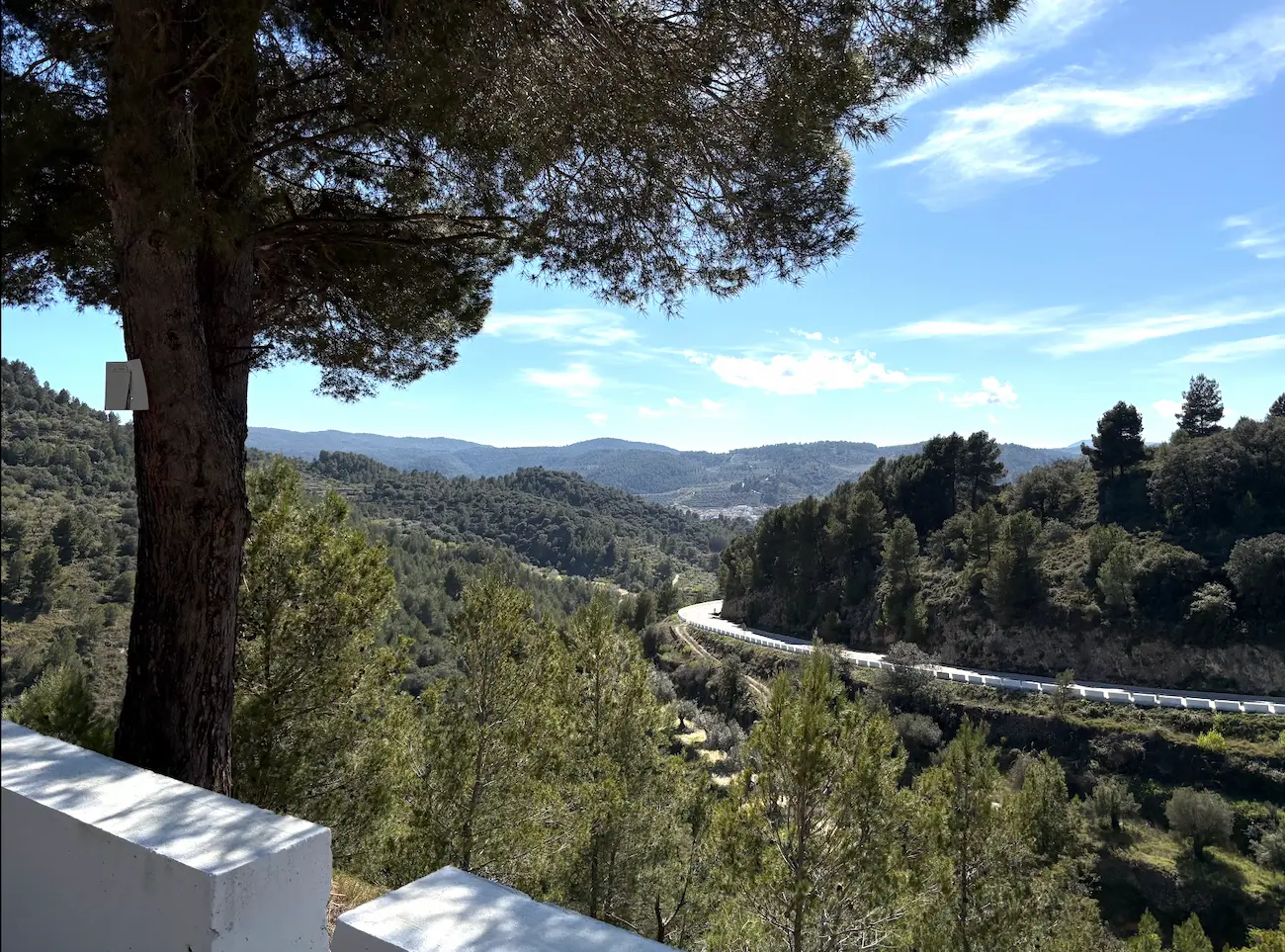
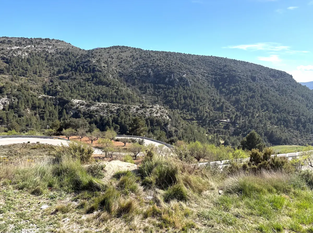
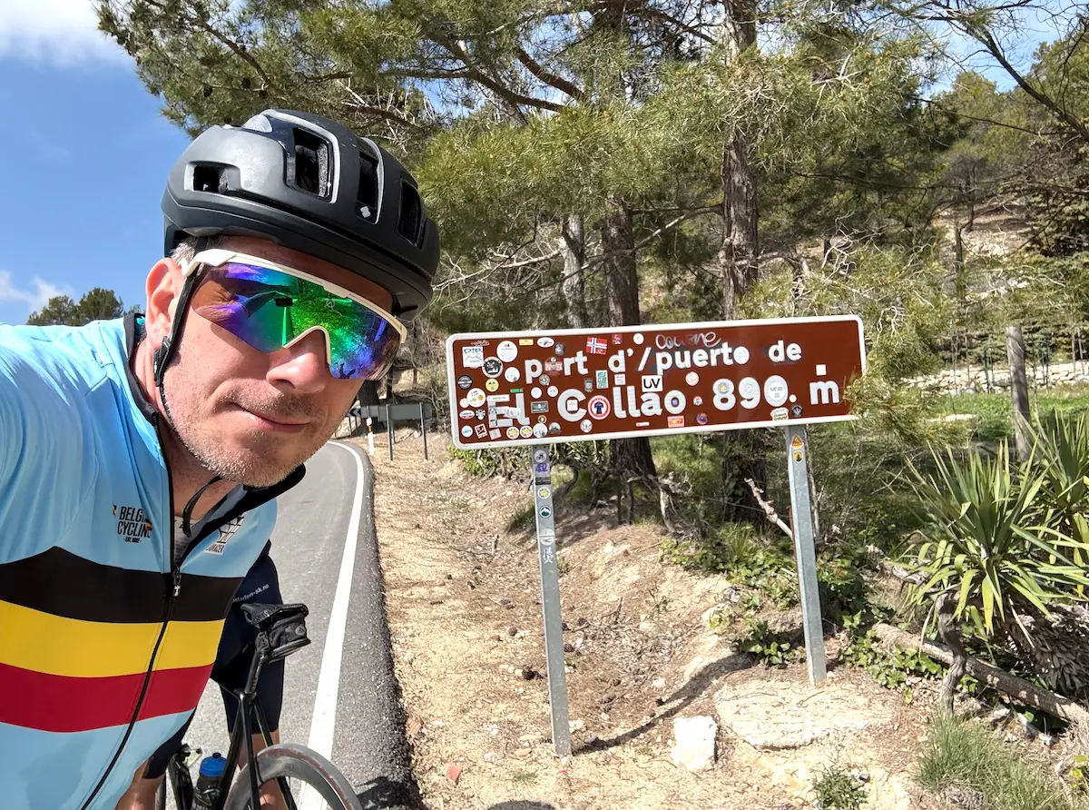
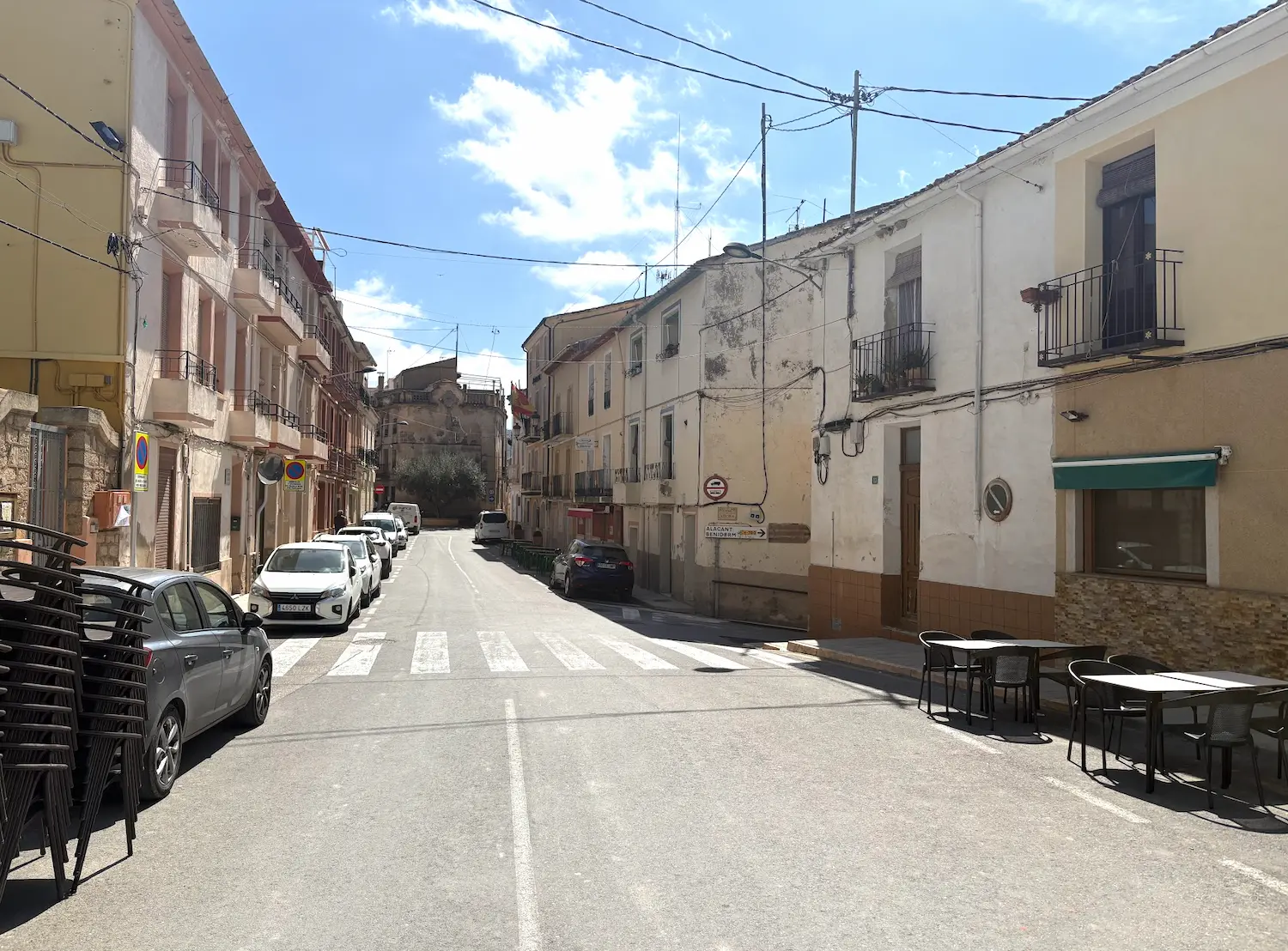
Route map & elevation profile
Key Climbs
Port de Tudons (lower section)
Cat 3Alto de Torremanzanas
Cat 2CV-710 to Confrides
Cat 2Highlights
- •Five distinct climbs in a single day — Finestrat, Port de Tudons, Torremanzanas, Benifallim, and Confrides — each with its own character and gradient.
- •The descent from Alto de Torremanzanas into the Guadalest valley: wide open roads, zero traffic, and the reservoir appearing below you as you drop.
- •Puig Campana towering above Finestrat on the opening climb — the jagged summit is a constant landmark for the first 30 km.
- •La Venta de Pep de Toni at the top of Confrides: a rural bar at 820 m where the locals go, not the cycling tourists.
- •Tadej Pogačar's Strava record on Port de Tudons — 18:01, December 2025, at 30.2 km/h. The benchmark is there if you want it.
Must know
- ⚠Fill your bottles to the brim in Finestrat before the first climb — there's no reliable water source until Guadalest, roughly 80 km in.
- ⚠The CV-70 between Benidorm and Finestrat carries fast traffic in the morning. Get through it early and you're done with busy roads for the day.
- ⚠Port de Tudons has two distinct sections separated by a short flat. Don't mistake the first summit for the top — the road kicks again after Tudons village.
- ⚠Alto de Torremanzanas is the midpoint climb and always catches people out. By km 90 the legs are already loaded from Finestrat and Tudons.
- ⚠La Venta de Pep de Toni at the top of Confrides keeps irregular hours. Pack enough food so you won't bonk if you have to push straight through back to Calpe.
- ⚠This route is exposed to afternoon heat on the descent from Confrides to Callosa. Start by 7:30 in summer — you want to be off the final climb before midday.
Café & Water
- km 31Bar El Cantonet
Last stop before the first categorised climb, at km 31 just before Alt de Finestrat. Classic village bar run by locals — espresso, bocadillo, refill the bottles. Closed Mondays.
- km 70Restaurant La Font, cocas
Mid-route stop at km 70, just after Alto de Torremanzanas. A traditional mountain village at 700 metres — coffee, food, and a good place to breathe between the Torremanzanas summit and Benifallim. Closed Tuesdays.
- km 110La Venta de Pep de Toni
Final stop before the long descent home, at km 110 just after the Confrides climb. After this it's 40 km of rolling descent to Calpe — take your time here, refill the bottles, don't rush on. Closed Wednesdays.
Frequently asked questions
- Is this route suitable for a first visit to Costa Blanca?
- This is a serious big day out — 153 km and 3,152 m of elevation across five climbs. If you're used to multi-climb mountain days, you'll handle it fine. If Costa Blanca is new to you, consider starting with Calpe — Port de Tudons & Confrides first to get a feel for the roads and gradients.
- How long does the route take?
- Plan for 7–9 hours in the saddle for a solid rider. Add an hour for stops — the climbs are long enough that you'll want to eat and drink properly at Guadalest and Confrides. We spent around 9 hours total on a moderate-pace day.
- What's the hardest climb on the route?
- Port de Tudons is the longest at just under 10 km, and Alto de Torremanzanas hits you hardest because it comes after 90 km of riding. Pogačar set a Strava record on Tudons in December 2025 — 18:01 at 30.2 km/h — if you want a sense of the upper ceiling.
- Are there good cafés along the route?
- Three solid stops: Bar El Cantonet in Tudons village (mid-route, good coffee), Restaurant La Font in Guadalest (excellent cocas), and La Venta de Pep de Toni at the top of Confrides. The last one keeps irregular hours — worth checking ahead.
- What bike and gearing do I need?
- A road bike with a compact chainset (50/34) is recommended. The gradients rarely spike above 8%, but five climbs on tired legs in the afternoon heat will test a 39-tooth inner ring. Most riders here run a 34t front paired with an 11-32 or 11-34 cassette.
Know a better line?
Submit your local route and get featured with your own author profile, Strava, Instagram and Buy Me a Coffee link.
Share a Route → →Similar routes
Calpe — Port de Tudons & Puerto de Confrides
Same Tudons-region terrain in a longer queen-stage version
Calpe — Guadalest & Vall d'Ebo
Different Guadalest approach via Vall d'Ebo from the north
Calpe — Cumbre del Sol
Same Calpe base — swap Finestrat for the iconic Cumbre del Sol