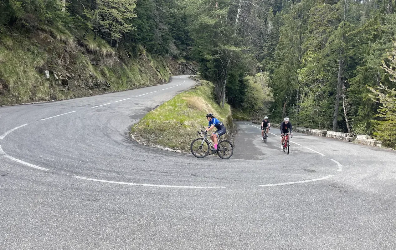
France has several cycling landscapes, and they ask for different planning. The high mountains hold the climbs the Tour de France made famous — long, steady and high, where you climb in one rhythm for an hour or more. Along the Mediterranean the climbs are shorter and steeper, and the season runs almost year-round. Pick the region first, then the route.
Read more ↓Show less ↑
What puts France in a class of its own is that the roads were built to get over the mountain rather than around it. The climbs are long and even, and the gradient holds steady enough that you find a rhythm and stay in it. Surfaces are mostly good, the kilometre markers on every col tell you how far and how steep is left, and drivers are used to cyclists on the road.
When to go
The high passes close for winter and usually open in late May or June, depending on the snow. The season runs to October, and Col du Galibier has its own page with current status. July and August are the warmest and the busiest — the Tour is on, and the best-known climbs fill with people who want to ride them the same week. June and September give you the same roads with far fewer people around. Along the Mediterranean you can ride all year, though it's best from March to May and September to November; in summer the coast gets hot and crowded.
Where to ride
The high Alps are where the classic climbs sit closest together. Galibier, Alpe d'Huez with its 21 hairpins, Croix de Fer and Madeleine are short drives apart, and that's where you go if the point is to tick off names you've seen on television. The valleys around them were built for ski lifts, so they carry steady climbs up to almost every village — the same altitude, but fewer cars and a slower pace. Along the Mediterranean the riding is something else entirely: short, steep climbs from sea level into the hills behind, mild winters, and the option of riding in the morning and swimming in the afternoon. The regions below show where we have routes today.
Altitude, weather and descents
Three things surprise people riding the Alps for the first time. Altitude tells: the biggest passes top out above 2,000 metres, and the air is thinner than you're used to. The weather turns fast — twenty degrees in the valley and close to zero at the top is normal, and a twenty-kilometre descent in the wind is cold even in July, so carry something to put on. And the descents are long enough to heat your brakes; brake in stages rather than dragging them the whole way down.
Practical notes
Helmets aren't compulsory for adults in France, though most riders wear one. Villages have drinking water at public fountains, usually marked eau potable — fill up before a long climb, not after. Shops and cafés often close over the middle of the day, especially in the countryside, and many stay shut on Sunday afternoons and Mondays. The big passes usually have a café at the top, but it opens seasonally.
Choose a region below and you'll find the routes that belong to it.
All Routes in France
Menton Cols Loop
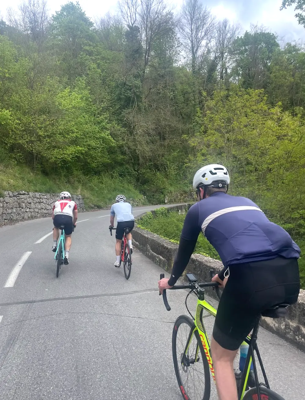
A cross-border loop from Menton — a perfect introduction to the roads behind the town. This 61 km ride crosses into Italy along the coast, then climbs two categorised cols: Col de Vescavo from the Italian side and Col de Castillon from Sospel, before a long descent back to the Mediterranean. Col de Castillon is the final pass of the Route des Grandes Alpes, and the medieval village of Sospel — with its 14th-century toll bridge that was bombed and later restored — sits between the two climbs.
Col de Turini & Col de Braus
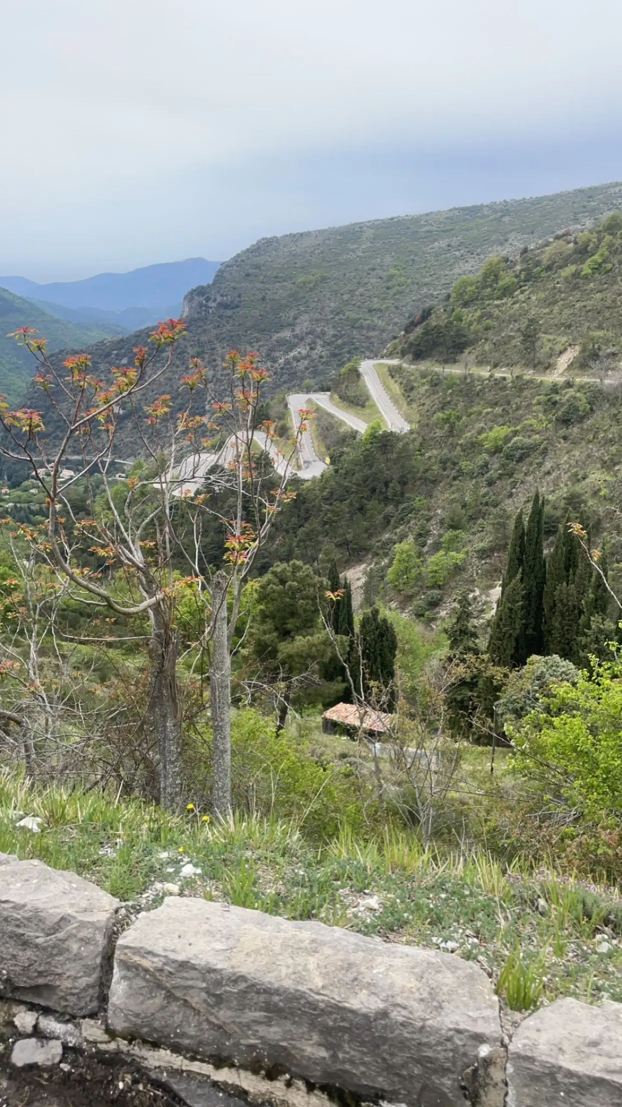
Four categorised climbs. 159 kilometres. 3,430 metres of elevation. From Menton via Monaco to Col de Turini at 1,604m, descending through Nice and climbing Col d'Eze before returning along the Corniche. Also rideable from Nice — one of the finest cycling days on the French Riviera.
Col de la Madone Classic
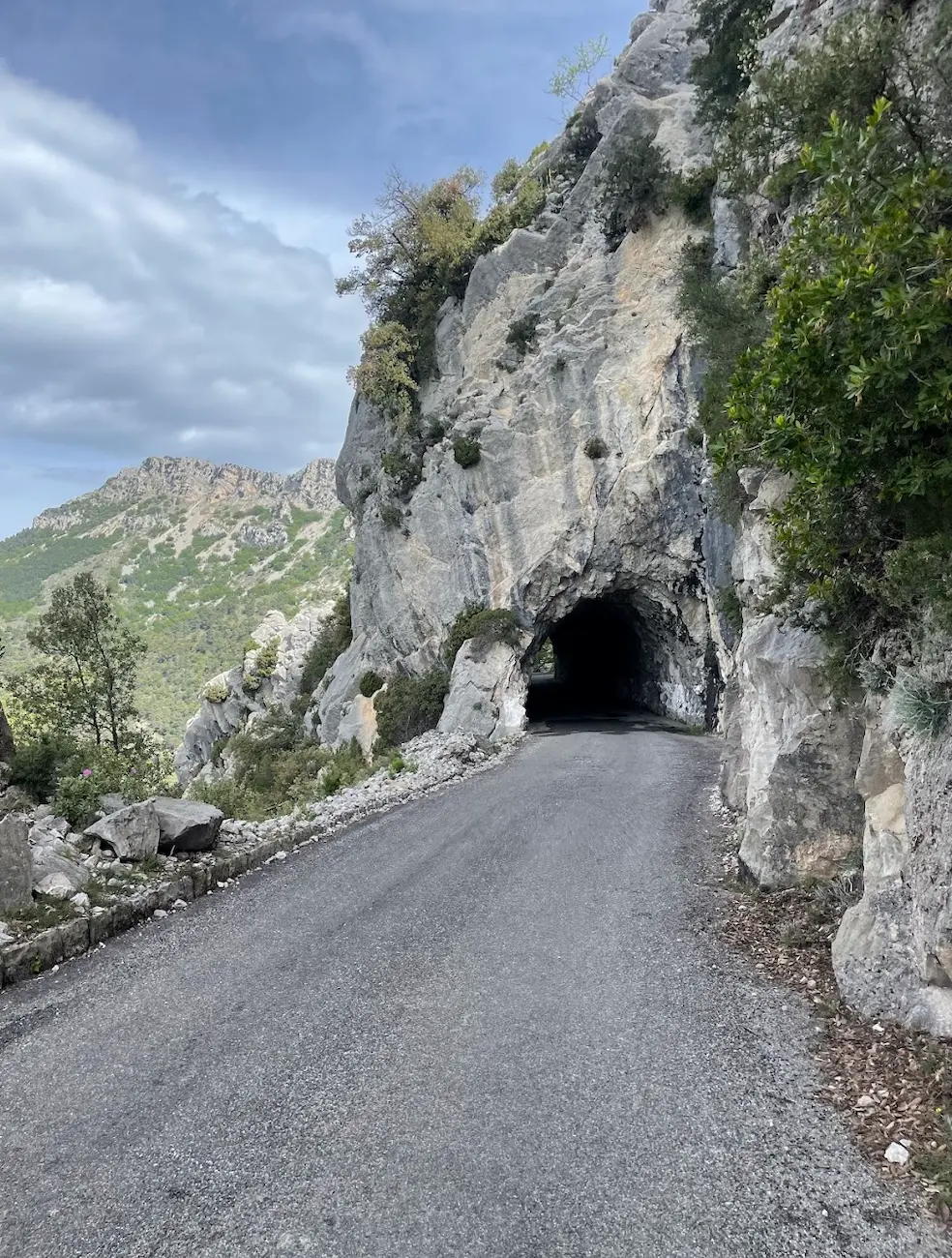
Lance Armstrong used this climb as his personal benchmark for the Tour de France, and it remains a favourite for today's pros—Tadej Pogačar set a much-talked-about time here in 2023. Trek even named a bike after it. The Madone is 13 km of sustained climbing above Menton, passing through Sainte-Agnès—one of France's most beautiful villages—with Mediterranean views all the way. A return route through Monaco rounds out one of cycling's most glamorous days.
Col de Vence & Gourdon — Long Loop from Cagnes
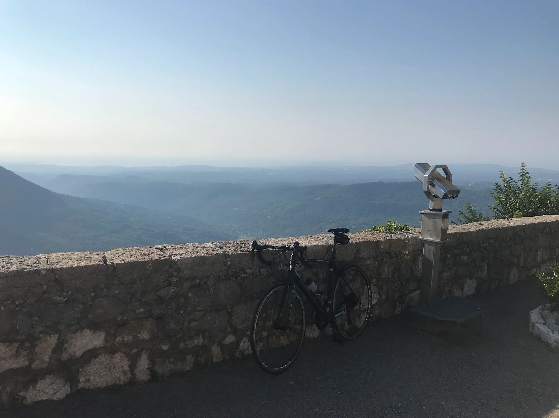
A 109 km loop from the coast at Cagnes-sur-Mer up to the clifftop village of Gourdon, then over Col de Vence at 963 m and back down through the medieval town of Vence. The two real climbs are spread far enough apart that the legs have time to recover, but the final ramps to the col bite. Best as an early-summer ride — the south-facing slopes catch the heat fast.
Col de Vence & Gourdon — Classic Loop from Cagnes
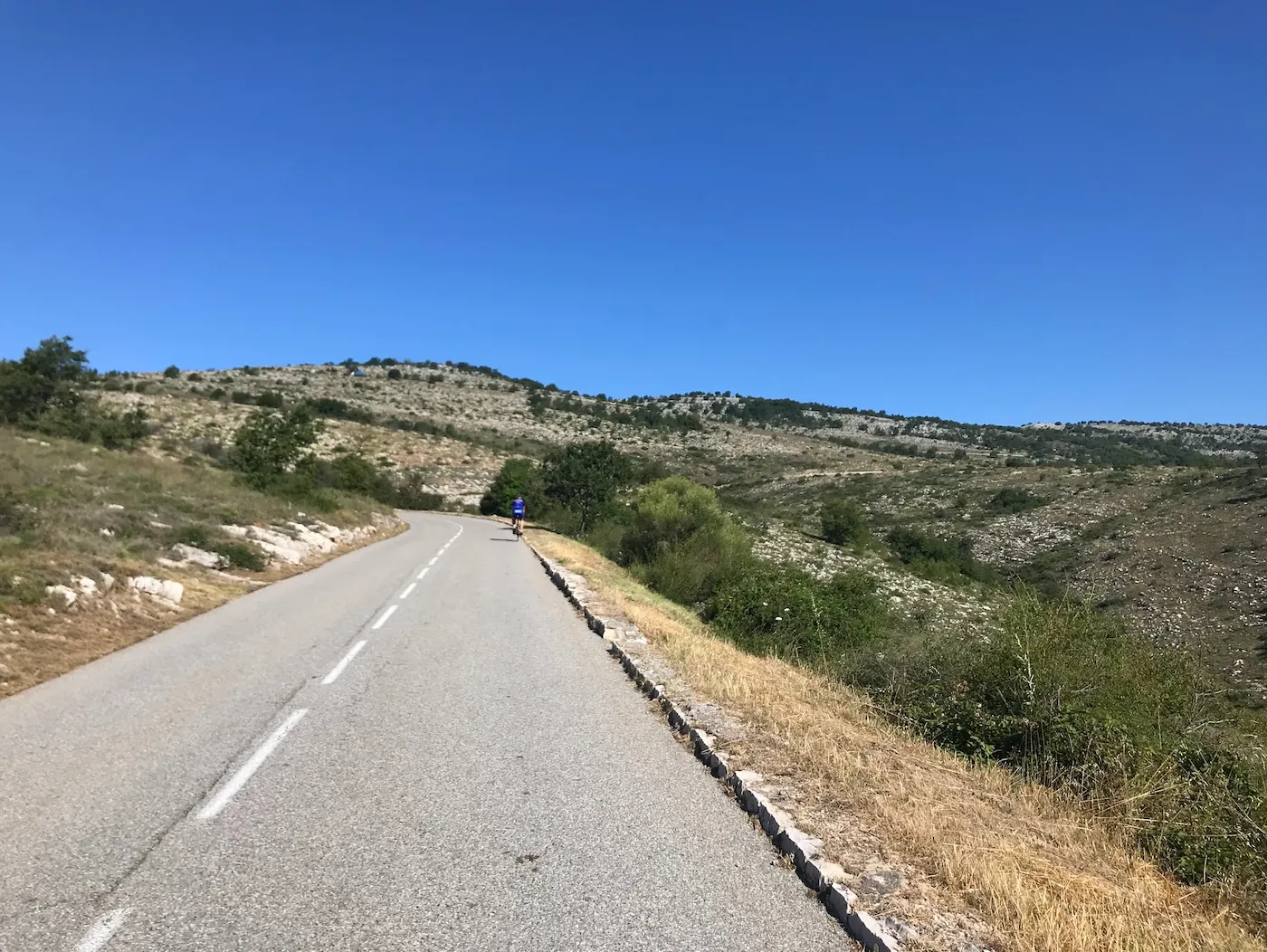
An 82 km loop from the Riviera coast into the Alpes-Maritimes behind Nice, built around Col de Vence — the climb from the Vence side, a steady 9.6 km at 6.7% with the steepest, most exposed stretch near the top. You leave Cagnes-sur-Mer at sea level, climb through the medieval town of Vence, and top out at 963 m, the highest point of the day. From there the road rolls high across to Gourdon, a village pinned to a clifftop with the whole coast laid out below, before a fast 28 km descent drops you back to the Mediterranean. It's the shorter, sharper alternative to the 109 km Col de Vence loop: the same summit from the harder direction, and home before lunch.
Milano–San Remo Cycling Route — Cipressa & Poggio
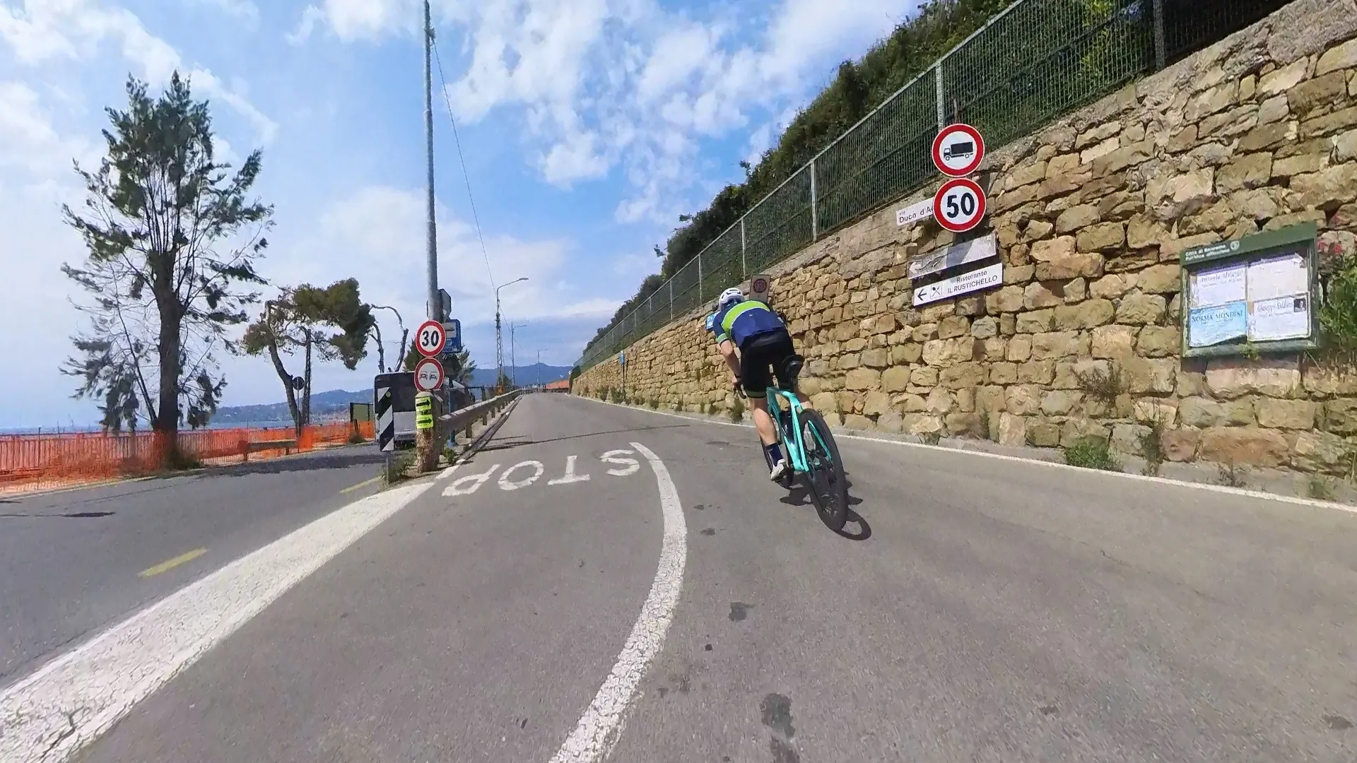
A cross-border loop from Menton that rides the finale of the world's longest cycling Monument. This 102 km loop follows the Ligurian coast into Italy and along the Pista Ciclabile del Parco Costiero della Riviera dei Fiori, a traffic-free railway path featuring tunnels that celebrate the history of Milan-San Remo. From San Lorenzo al Mare you take on the race's actual finale: the Cipressa and the Poggio, the two climbs that decide "La Classicissima" every March. Expect moderate gradients, sweeping sea views, and a hairpin rhythm that is far more engaging to ride than it looks on television.
Col du Galibier & Col du Télégraphe
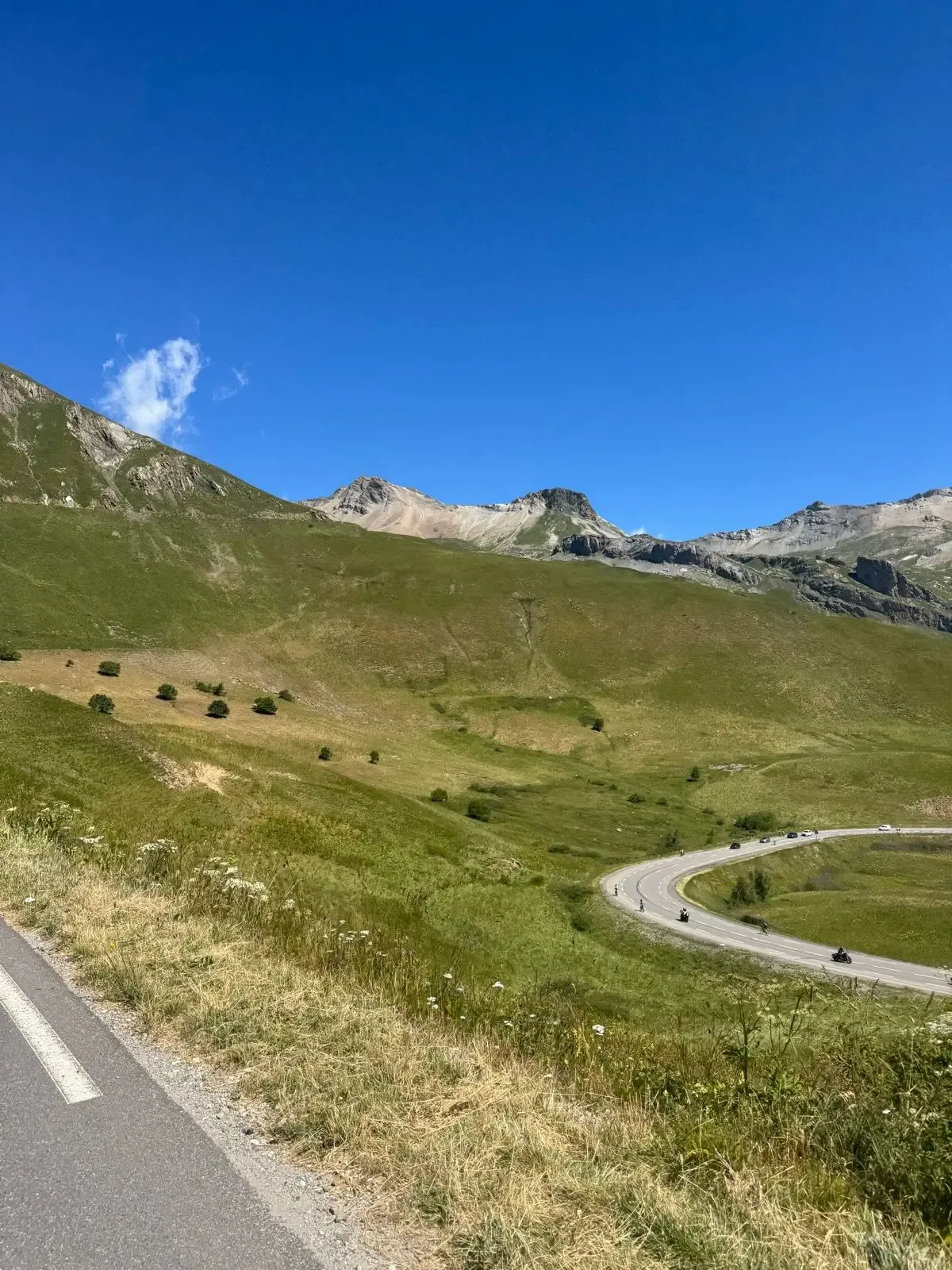
88.9 km and 2,859 metres of climbing, out and back from the Col du Lautaret. The route takes both sides of the Galibier and the Télégraphe: up the Galibier from the south, down to Saint-Michel-de-Maurienne, then back over the Télégraphe and the Galibier from the north. Just as hard every time, and the summit gives you La Meije and the Écrins glaciers.
Col de la Madeleine
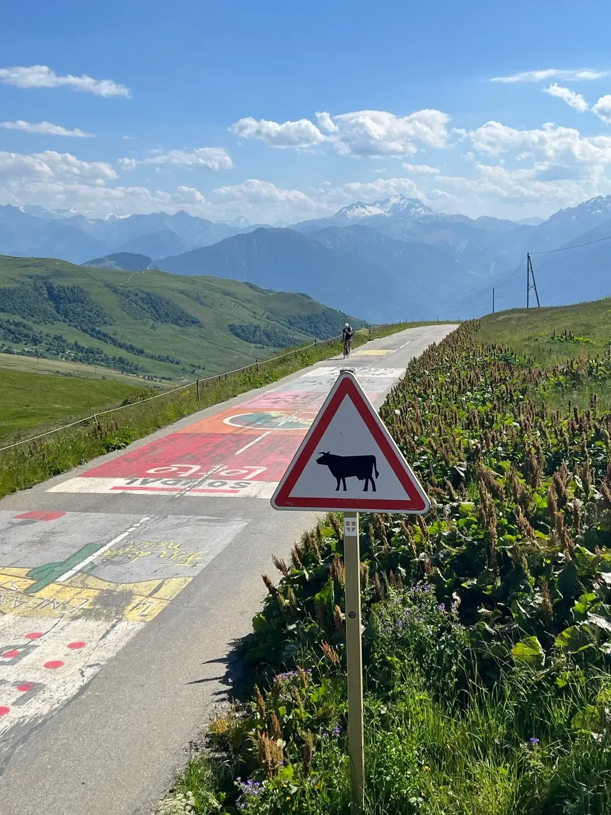
A 39.6 km out-and-back over the Col de la Madeleine with 1,529 m of climbing — a hors catégorie Tour de France classic up the D213 from La Chambre. Nineteen kilometres of near-constant 7 to 9% to a 2,000 m summit, then the same road all the way down.
Col de la Croix de Fer og Col du Glandon
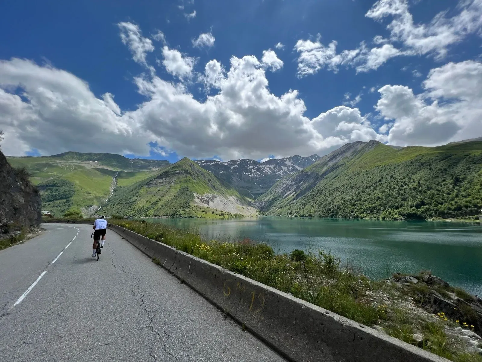
Two bucket-list Tour de France cols linked in a single 79.1 km loop out of Bourg-d'Oisans, with 1,908 m of climbing that stacks the Glandon and the Croix de Fer back-to-back before dropping you past turquoise reservoirs to the valley floor.
Alpe d’Huez & Col de Sarenne
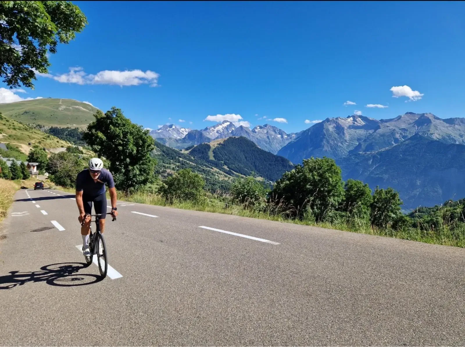
A 51.2 km loop out of Bourg d'Oisans with 1711 m of climbing that pairs the 21 lacets of Alpe d'Huez with the wild, quiet Col de Sarenne at 1999 m. A Tour de France pilgrimage that turns into a proper high-mountain loop.
Côte d’Héry-sur-Ugine & Col des Saisies
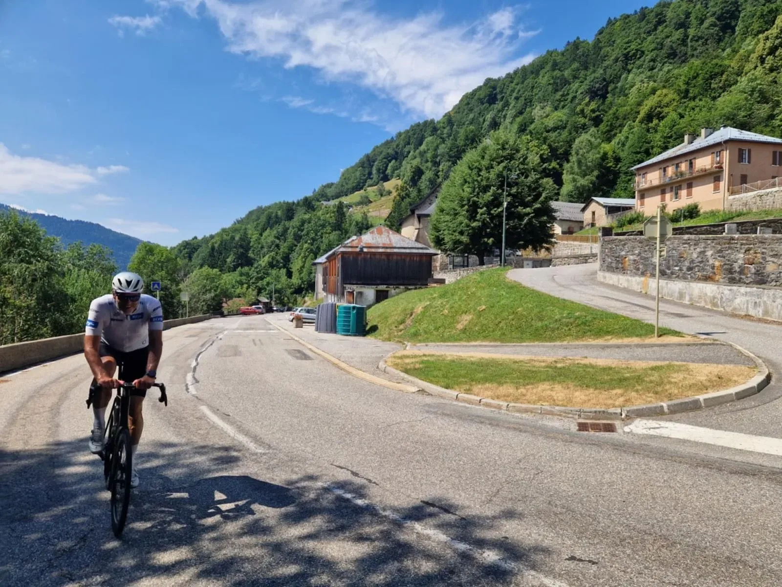
A 70.2 km Savoie loop with 1,705 m of climbing over the Côte d'Héry-sur-Ugine and the Col des Saisies. Both were on the route of Stage 19 of the 2025 Tour de France — until the stage was cut short the night before and the race went another way.
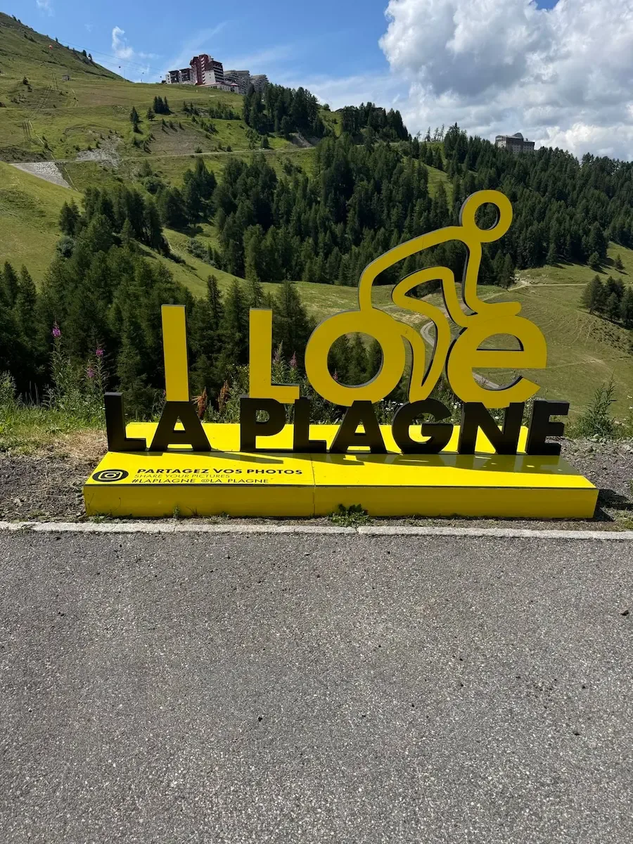
Aime - La Plagne
A proper Tour de France climb from the Isère valley up to La Plagne: 41.8 km and 1,472 m of ascent up the D221, the road the Tour climbed in 2025, hairpin after hairpin through Savoyard forest and ski-station meadow, then a fast, flowing descent back to Aime.
Frequently asked questions
- When do the French mountain passes open?
- The high passes usually open in late May or June depending on snow, and stay open until October. Galibier has its own page with current status.
- When should I cycle in France?
- June and September give the best mountain conditions — the same roads as July and August with far fewer people. On the Mediterranean, spring and autumn are best.
- How steep are the French cols?
- Most hold steady between 6 and 8%. It's the length that tests you, not the steepest ramp — many climbs take over an hour.
- Do I need a helmet in France?
- Not as an adult. Children under twelve must wear one. Most adults wear one anyway, especially on the long descents.