
Col de la Madeleine
About this Route
A 39.6 km loop over the Col de la Madeleine with 1,529 m of climbing — a hors catégorie Tour de France classic from the Maurienne floor at La Chambre up the D213 to 2,000 m, where the view across to Mont Blanc steals whatever breath the heat has left you.
I rode this in July 2023 and, honestly, it was pure survival mode. My head unit was reading 36 to 45°C almost the whole way up — probably not entirely accurate, but it felt every bit that hot. The tarmac radiated like a pizza oven and the air in the Arc valley near La Chambre was close and still, the kind of heat where you empty a bottle in twenty minutes and still feel parched.
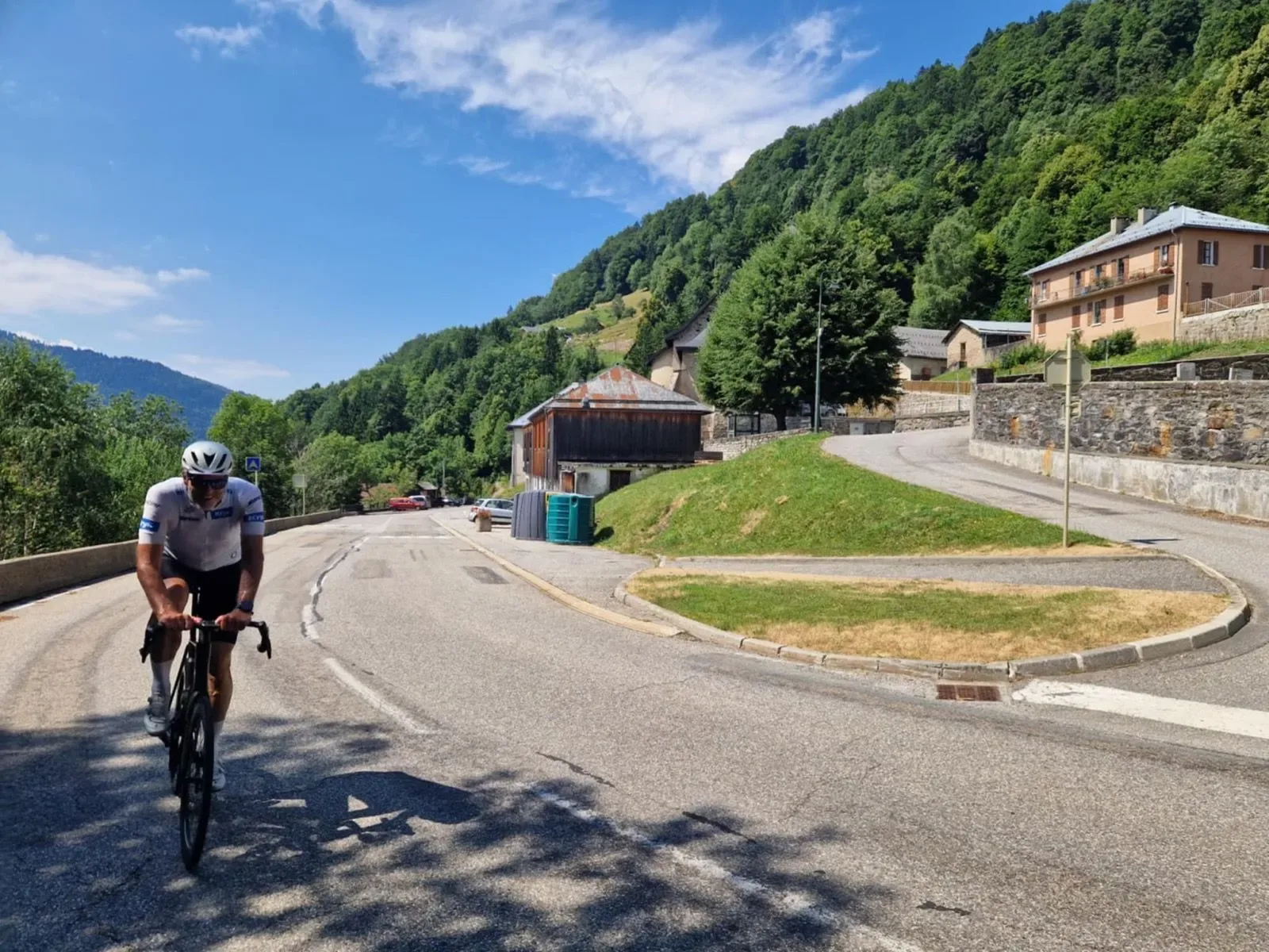
The D213 leaves the valley through Saint Martin sur la Chambre, tips upward almost immediately, and for the first handful of kilometres you're grinding between orchards and village rooftops with only brief patches of shade. Once the road enters the forest it settles into that grinding, patient rhythm the Madeleine is known for — narrow tarmac, stone barns in the hamlets, the occasional fountain that saved my ride. I stopped at every one. If you're riding this in summer, plan on it.
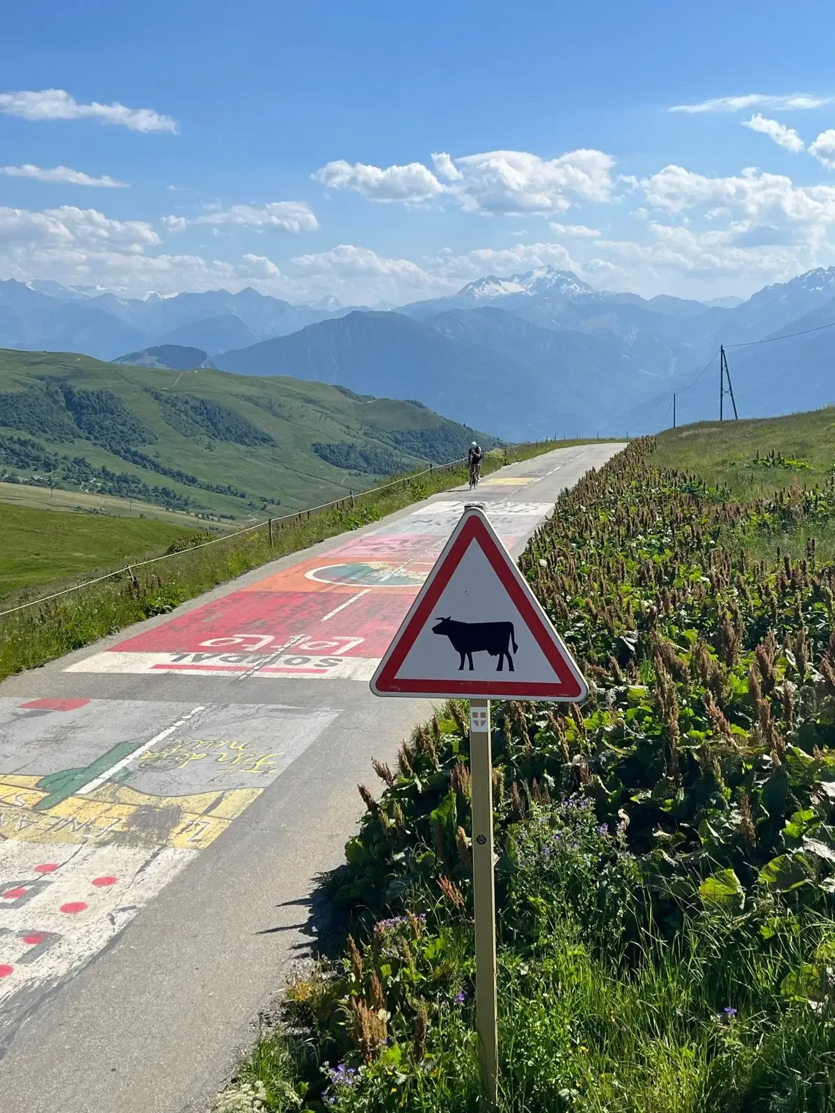
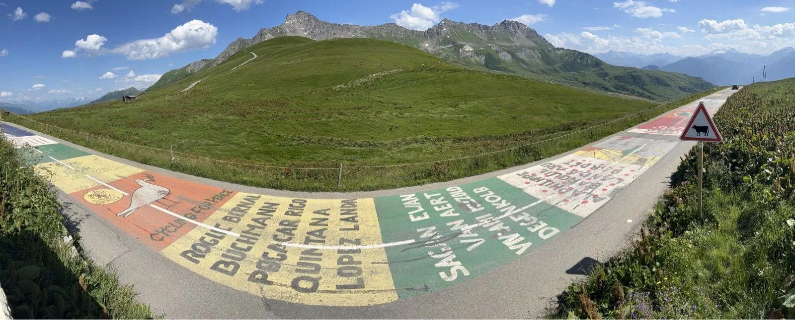
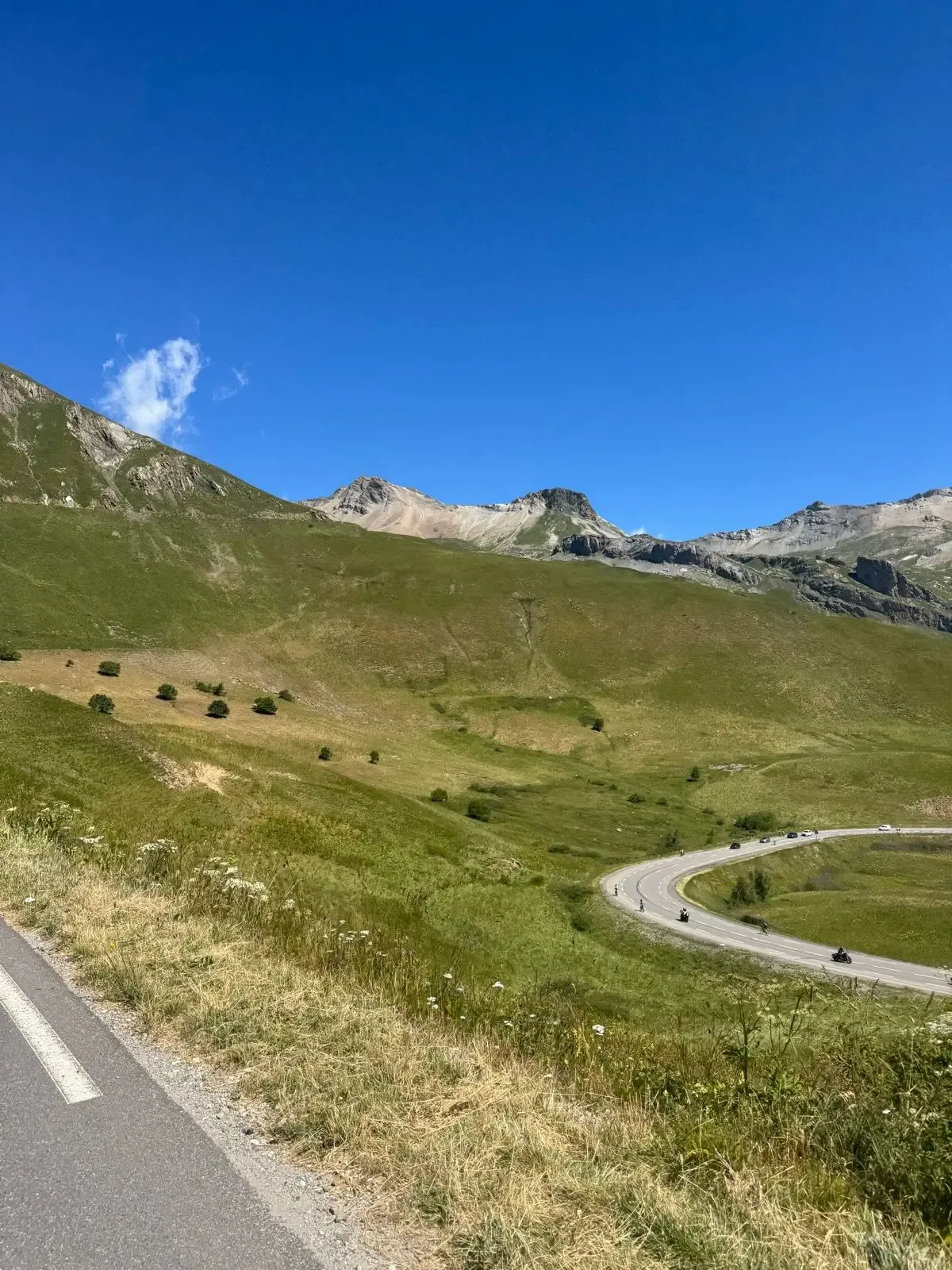
Saint François Longchamp is where the gearing gets a chance to breathe for a moment and the world opens up. The trees fall away, the alpages take over, and suddenly the road itself becomes the story: enormous painted names across the tarmac — Pogačar, Roglič, Bernal, Quintana, Van Aert, Alaphilippe — a rolling Tour de France fresco under your wheels. Cows graze behind the fences, and the gradient reminds you this is still a hors catégorie.
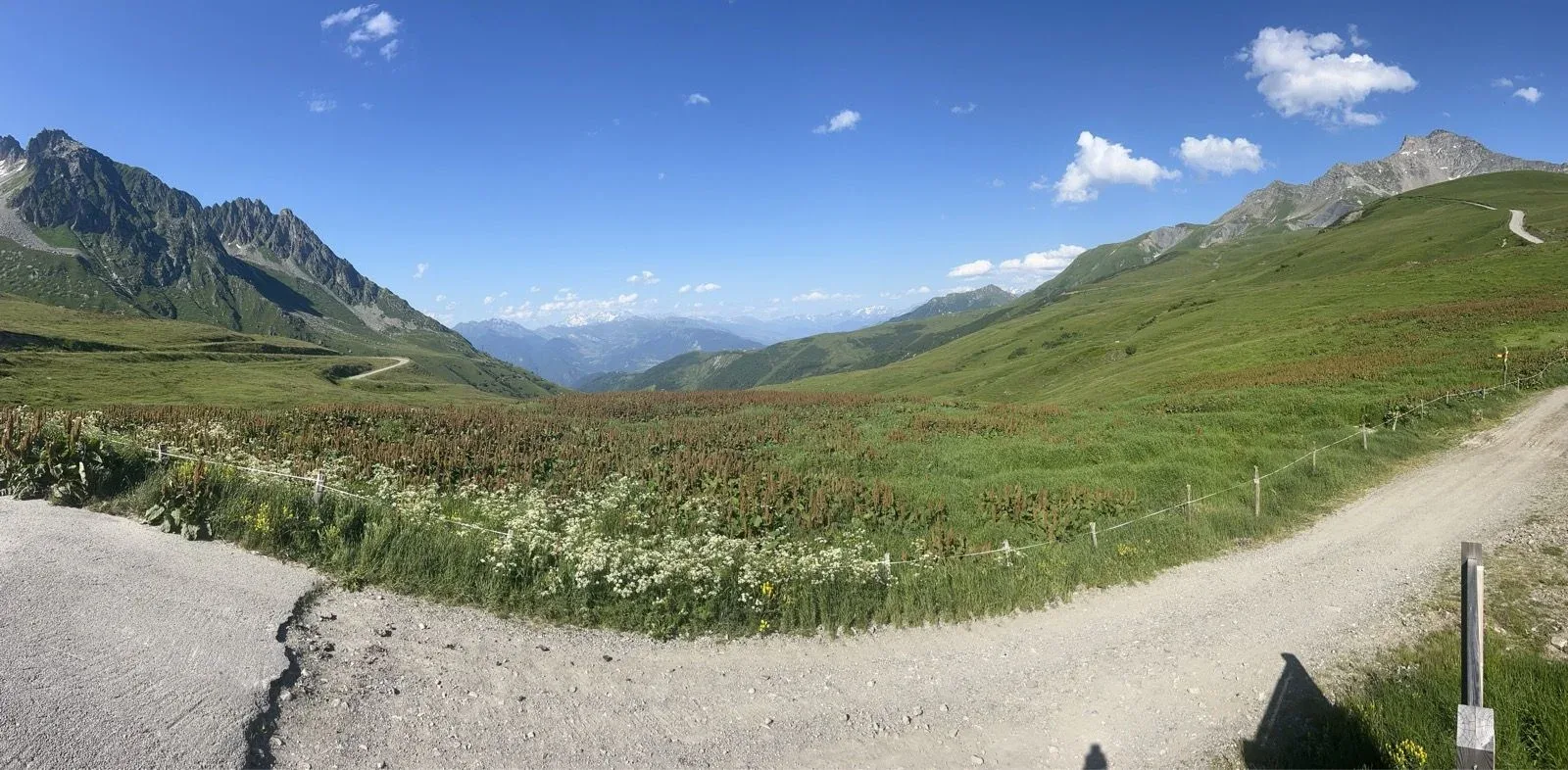
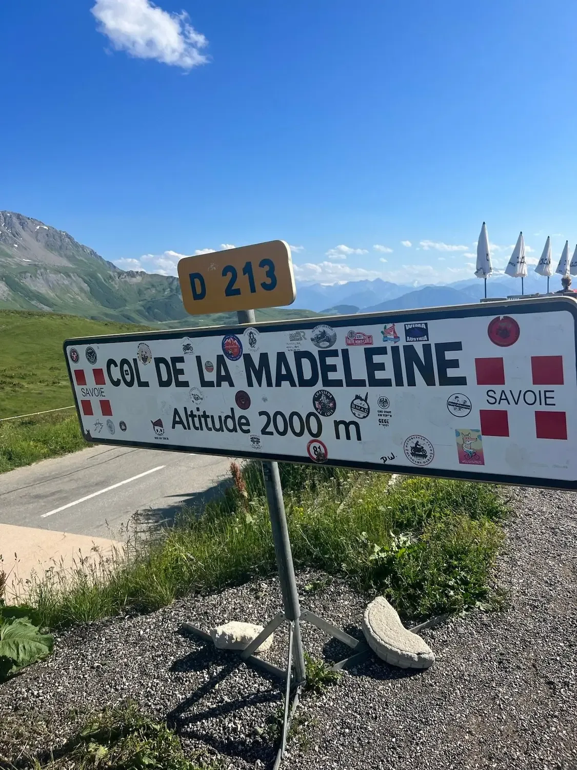
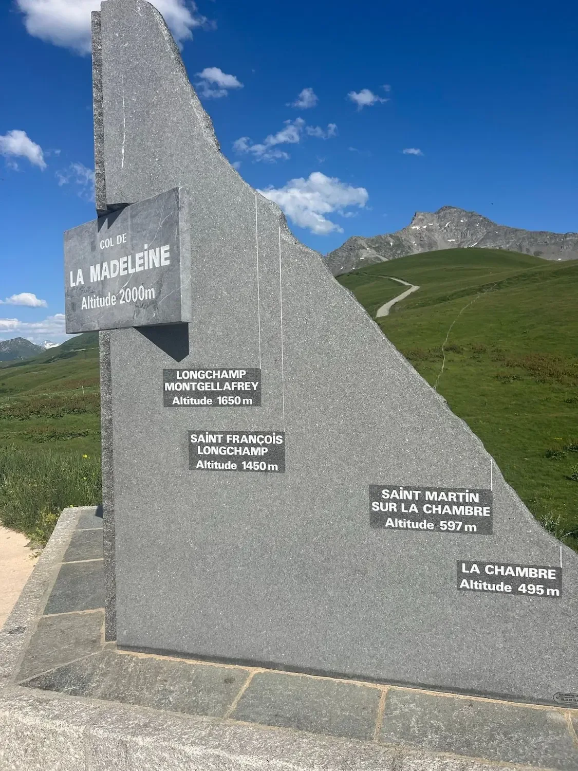
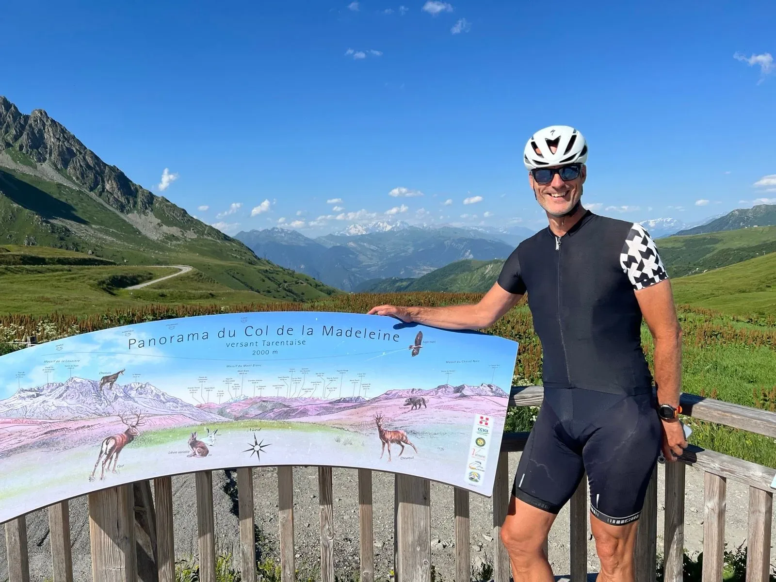
The final ramps toward Longchamp Montgellafrey and the col are brutally exposed. No shade, and the heat bouncing back up off the road. Then the summit sign at 2,000 m, stickered to within an inch of its life, and the granite monument listing the villages you've just clawed your way past. The Panorama du Col de la Madeleine orientation board looks north across the Tarentaise — and, dead centre, the snow of the Mont Blanc massif floating over the haze. Cold drink under a parasol at the refuge, legs ticking, and just staring at it.
The descent back toward the Maurienne was almost a relief until about halfway down, when the temperature climbed again with every lost metre and I was back in the furnace. 39.6 km, 1,529 m, one of the great Alpine climbs — but go early, carry more water than you think you need, and save something for those last exposed kilometres above the alpages.

Kilometre by Kilometre
The D213 leaves the Maurienne valley floor through Saint Martin and tips upward almost immediately. Orchards, village rooftops, brief patches of shade — and no easing in. The Arc valley heat is already building by mid-morning.
The road enters the forest and the grinding rhythm the Madeleine is known for sets in: narrow tarmac, stone barns at the hamlets, fountains worth stopping at in summer. Every one of them saved somebody's ride. Carry more water than you think you need.
The trees fall away and the world opens. The alpages take over and then the painted tarmac starts: Pogačar, Roglič, Bernal, Quintana, Van Aert, Alaphilippe — a rolling Tour de France fresco under the wheels. Cows graze behind the fences; the gradient keeps going.
No shade here. The final ramps toward Longchamp Montgellafrey and the col are brutally exposed, heat bouncing back off the road. Then the summit sign at 2,000 m, the granite monument, and the Panorama board pointing north across the Tarentaise — the Mont Blanc massif floating on the horizon.
Gallery
Route map & elevation profile
Key Climbs
Tips & Local Knowledge
- Start at dawn in July and August — the lower Maurienne slopes can hit 40°C on the tarmac.
- Fill bottles at the village fountains in Saint Martin sur la Chambre and Saint François Longchamp; the upper alpages have nothing.
- Carry a third bottle or a soft flask — two is not enough on a hot day.
- Stop at the summit refuge for a cold drink and tarte aux myrtilles under the parasols before descending.
- Check the D213 is fully open before riding in June or late September — snow lingers at the col.
- Watch the painted tarmac on the upper slopes: rider graffiti is fun but the gradient kicks back hard here.
Know a better line?
Submit your local route and get featured with your own author profile, Strava, Instagram and Buy Me a Coffee link.
Share a Route → →Similar routes
Col du Galibier & Col du Télégraphe
Same French-Alps HC tier — Galibier and Télégraphe back-to-back
Col de la Croix de Fer og Col du Glandon
Same Maurienne region — Croix de Fer and Glandon double
Côte d’Héry-sur-Ugine & Col des Saisies
Adjacent Beaufortain region — gentler approach to Tour de France climbs
Route Details
- Country
- France
- Region
- Oisans & Maurienne
For experienced cyclists. Significant elevation and demanding distances.