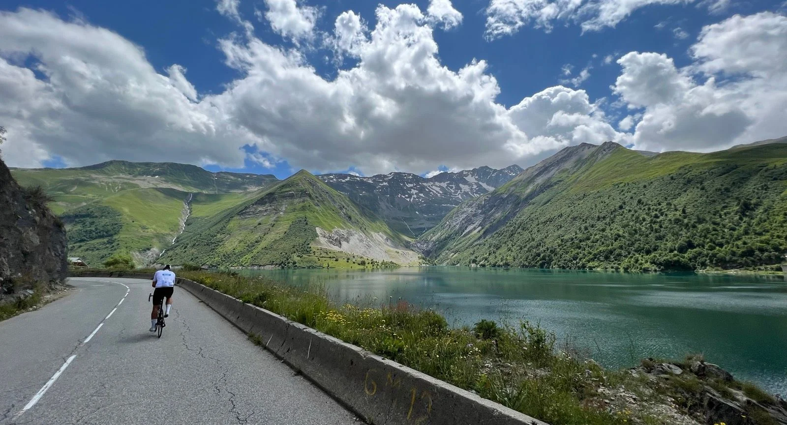
Alpe d'Huez, Galibier, Croix de Fer, Télégraphe and the Madeleine all sit within this area. Bourg-d'Oisans is the natural base, with Alpe d'Huez rising straight out of the town. The highest passes are open from June to September.
Region at a glance
All Routes in Oisans & Maurienne
4 handpicked road-cycling routes in Oisans & Maurienne.
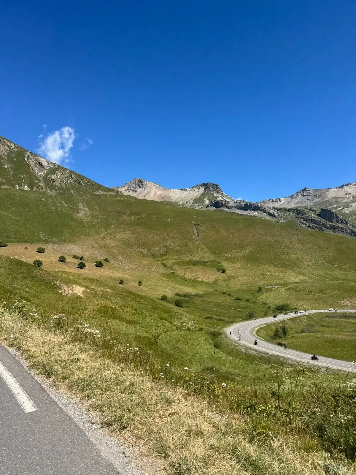
Col du Galibier & Col du Télégraphe
88.9 km and 2,859 metres of climbing, out and back from the Col du Lautaret. The route takes both sides of the Galibier and the Télégraphe: up the Galibier from the south, down to Saint-Michel-de-Maurienne, then back over the Télégraphe and the Galibier from the north. Just as hard every time, and the summit gives you La Meije and the Écrins glaciers.
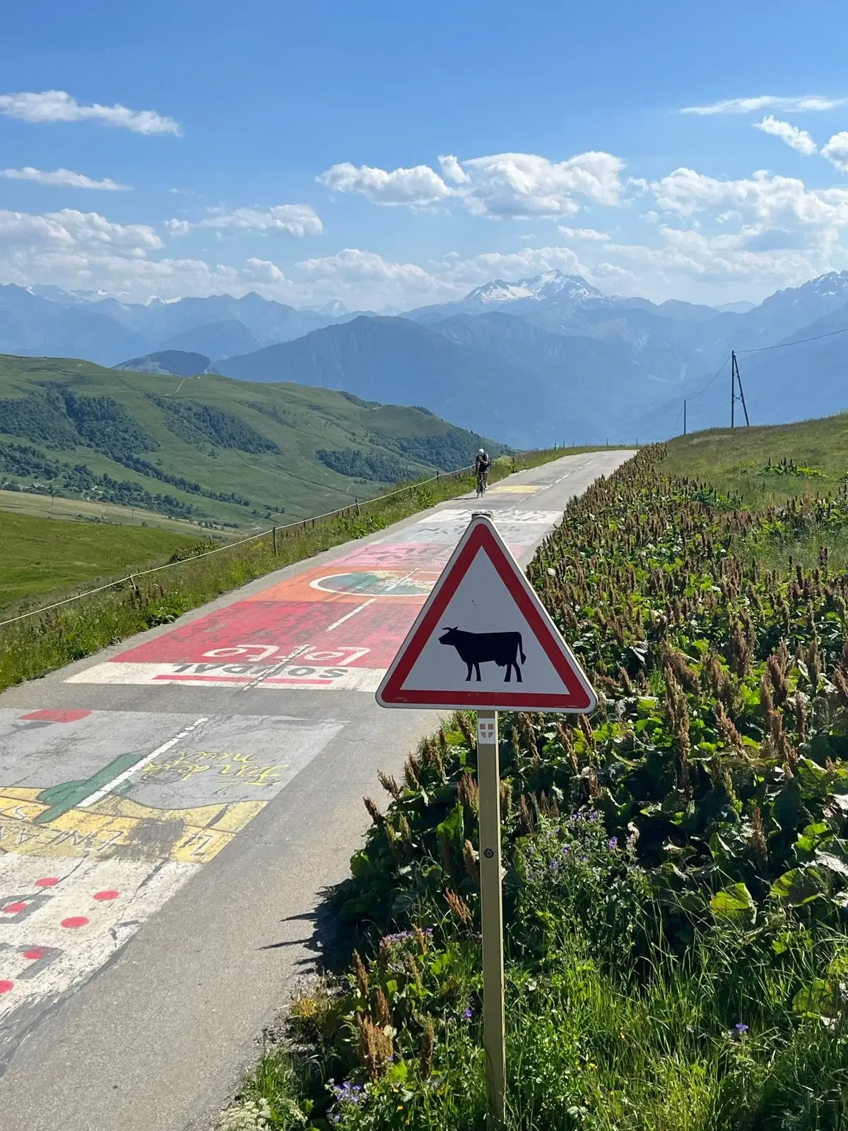
Col de la Madeleine
A 39.6 km out-and-back over the Col de la Madeleine with 1,529 m of climbing — a hors catégorie Tour de France classic up the D213 from La Chambre. Nineteen kilometres of near-constant 7 to 9% to a 2,000 m summit, then the same road all the way down.
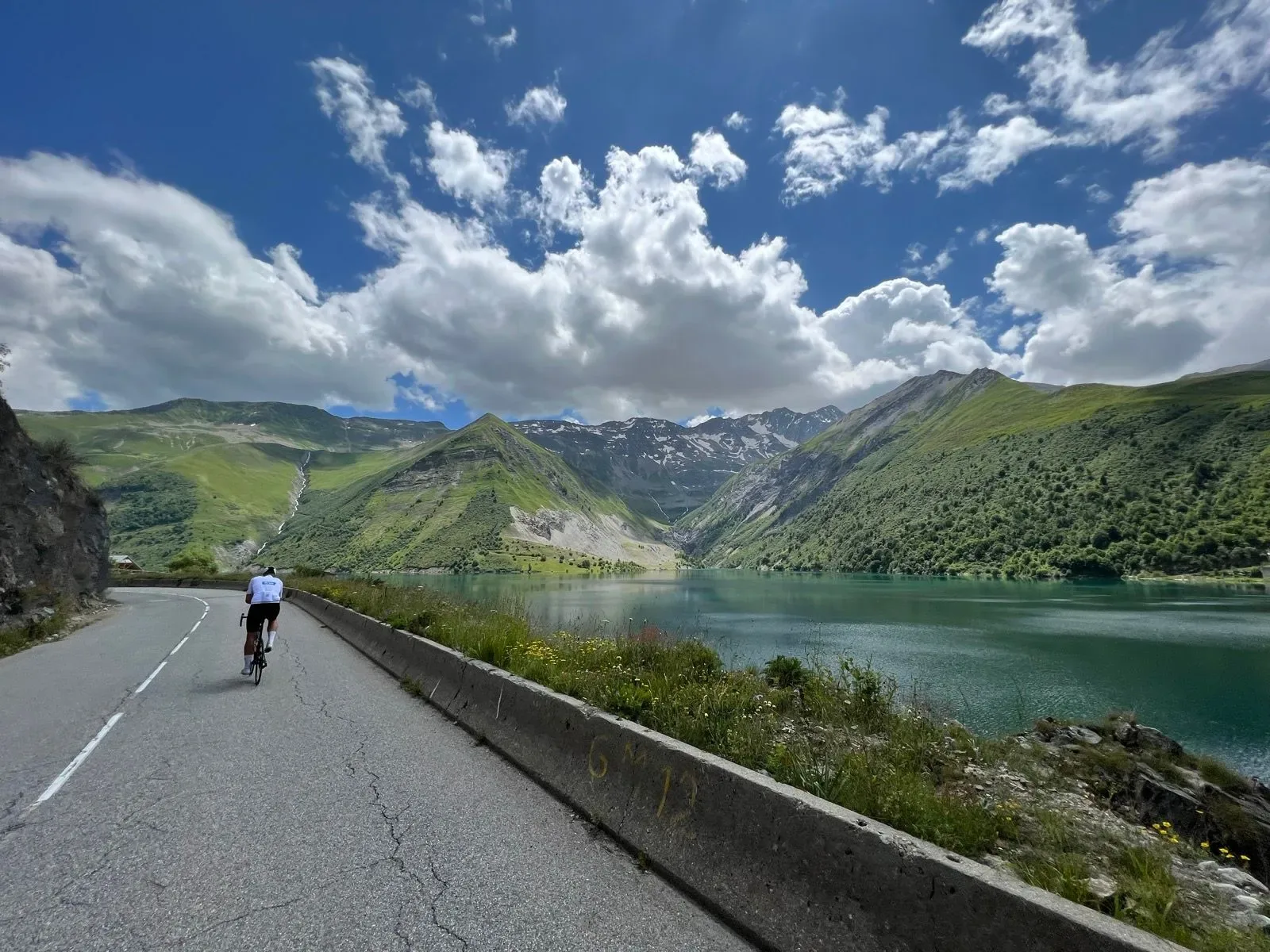
Col de la Croix de Fer og Col du Glandon
Two bucket-list Tour de France cols linked in a single 79.1 km loop out of Bourg-d'Oisans, with 1,908 m of climbing that stacks the Glandon and the Croix de Fer back-to-back before dropping you past turquoise reservoirs to the valley floor.
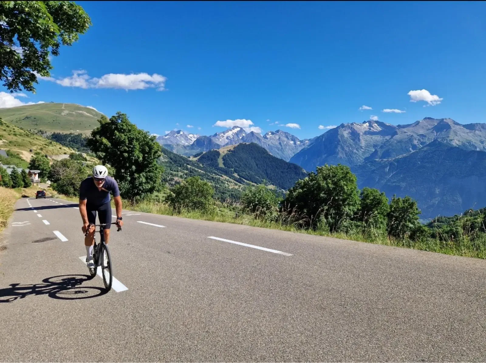
Alpe d'Huez & Col de Sarenne
A 51.2 km loop out of Bourg d'Oisans with 1711 m of climbing that pairs the 21 lacets of Alpe d'Huez with the wild, quiet Col de Sarenne at 1999 m. A Tour de France pilgrimage that turns into a proper high-mountain loop.
Oisans and Maurienne together form the Tour de France's most iconic mountain theatre. The Oisans valley, centred on Bourg d'Oisans, sits at the foot of Alpe d'Huez — 21 hairpin bends, 13.8 km at 7.9%, and arguably the most famous climb in cycling. The Maurienne valley to the north connects Saint-Jean-de-Maurienne, Modane and Valloire, and hosts the approaches to Col du Galibier and Col du Télégraphe. Between them these two valleys contain more legendary Alpine climbs per kilometre than anywhere else in France.
Read the full guide ↓Show less ↑
The climbing is on a different scale to anywhere else on this site. Col du Galibier tops out at 2,642 metres, one of the highest paved roads in the Alps and a regular high point of the Tour de France. The climb from the north (Valloire, via Col du Télégraphe) is 33 kilometres combined, with an altitude gain of over 2,000 metres. From the south, via Col du Lautaret from Bourg d'Oisans, the final 8 km up to the Galibier summit are a quieter but equally brutal finale to a long day.
Col de la Croix de Fer is a separate iconic ride: 29 km at 5.2% from Le Bourg-d'Oisans, winding past dams, reservoirs and the Combe d'Olle gorge, topping out at 1,999 metres. Col du Glandon sits one kilometre below the Croix de Fer summit and is often linked with it. Col de la Madeleine (2,000 m) stitches the Maurienne valley to the Tarentaise and is one of the longer Tour de France mountains — 19 km at 7.9% from La Chambre.
La Marmotte and L'Étape du Tour
The region is home to La Marmotte Granfondo, first run in 1982 and still one of Europe's most demanding sportives. The classic route links Col du Glandon, Col du Télégraphe, Col du Galibier and finishes up Alpe d'Huez — 174 km with over 5,000 metres of vertical gain. L'Étape du Tour, the amateur ride on a Tour de France mountain stage, passes through Oisans or Maurienne in most years. Entries for both events sell out quickly; register early if planning a trip around them.
When to go
The high cols are snowbound outside the summer season. Col du Galibier typically opens in early to mid-June and closes in late October, depending on snowfall. Col de la Madeleine, Col de la Croix de Fer and Col d'Iseran follow the same seasonal pattern. Alpe d'Huez, ending at 1,860 metres, is accessible from May through October in most years — it is often the first major climb to open each spring.
July and August are the busiest months with the most reliable weather, though Alpe d'Huez sees heavy tourist traffic in summer — early morning starts (before 08:00) are the only way to avoid coach traffic on the climb. June and September are less crowded and arguably better riding conditions: cooler temperatures, open cols and fewer vehicles.
Where to stay
Bourg d'Oisans, at the foot of Alpe d'Huez, is the traditional base for Oisans cyclists. It sits at 720 metres in the valley, with immediate access to Alpe d'Huez, Col de la Croix de Fer, Col du Glandon and the approach to Col du Galibier via Lautaret. Cycling-specific hotels and tour operators have built out a strong infrastructure here since the 1980s. For Maurienne-focused riding — Col du Télégraphe, Col du Galibier from the north, Col de la Madeleine — Saint-Jean-de-Maurienne or Valloire is more practical. Both regions are within a two-hour transfer from Grenoble or Lyon-Saint Exupéry airports.
A word on the climbs
These are not climbs to attempt unprepared. Col du Galibier is 2,642 metres of thin air — riders coming from sea level will notice the altitude in the final kilometres. Weather changes quickly: a sunny valley morning can turn into sleet at 2,500 metres within an hour. A warm jacket, gloves and a rain shell are not optional, even in July. Compact or sub-compact gearing with a 32- or 34-tooth rear cassette is the sensible minimum for most recreational cyclists.
Practical tips
Water is widely available from village fountains in both valleys — fountains in Bourg d'Oisans, La Grave, Valloire and elsewhere are safe and signed. Refuge cafés at the high col summits (including Col du Galibier and Col de la Madeleine) open for the summer season but can be closed in shoulder months. Descending Col du Galibier or Alpe d'Huez requires full focus: road surfaces are good but the gradient and traffic demand care. The descent from Galibier to Valloire is particularly fast; factor in the cold once the sun drops.
What makes Oisans and Maurienne different
These are the climbs that define the mountain geography of professional cycling. Riding Alpe d'Huez on a summer morning with the painted names of a dozen Tour generations still visible on the road is a cycling experience that few other places in Europe can match. For anyone serious about road cycling, at least one trip to this valley is close to obligatory.