Alpe d'Huez & Col de Sarenne
About this Route
← Oisans & Maurienne Cycling GuideA 51.2 km loop out of Bourg d'Oisans with 1711 m of climbing that pairs the 21 lacets of Alpe d'Huez with the wild, quiet Col de Sarenne at 1999 m. A Tour de France pilgrimage that turns into a proper high-mountain loop.
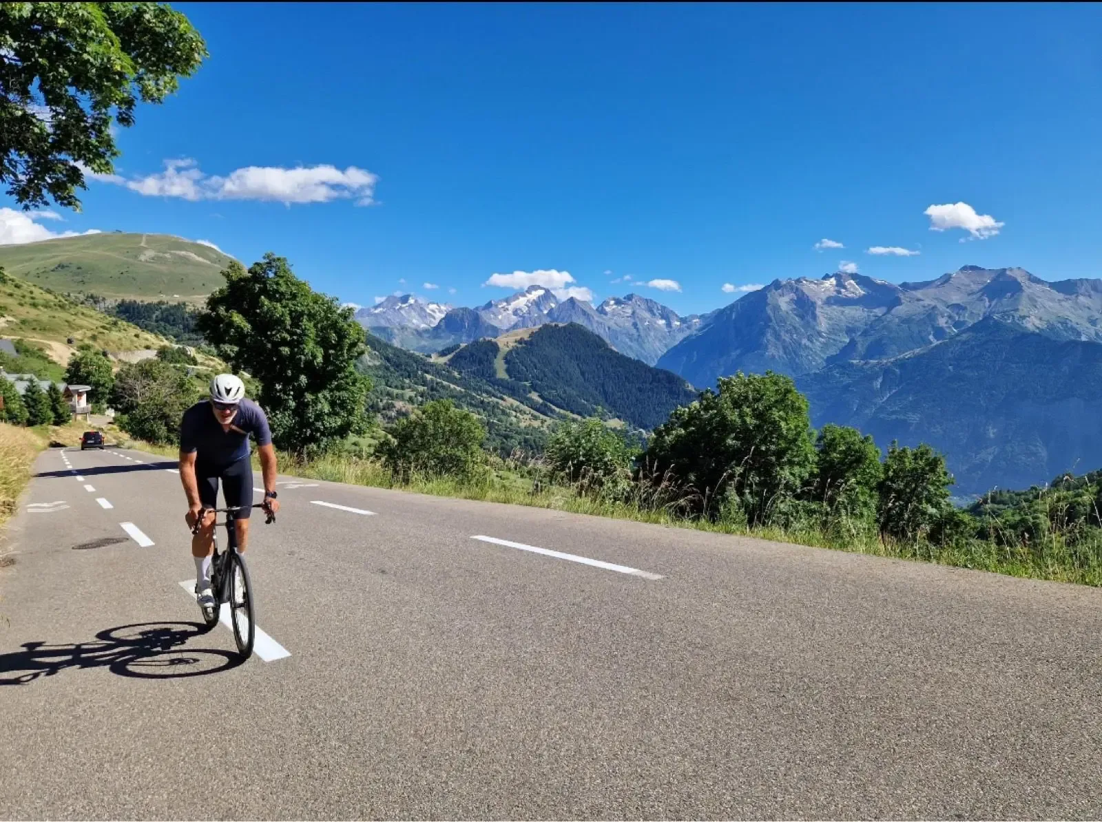
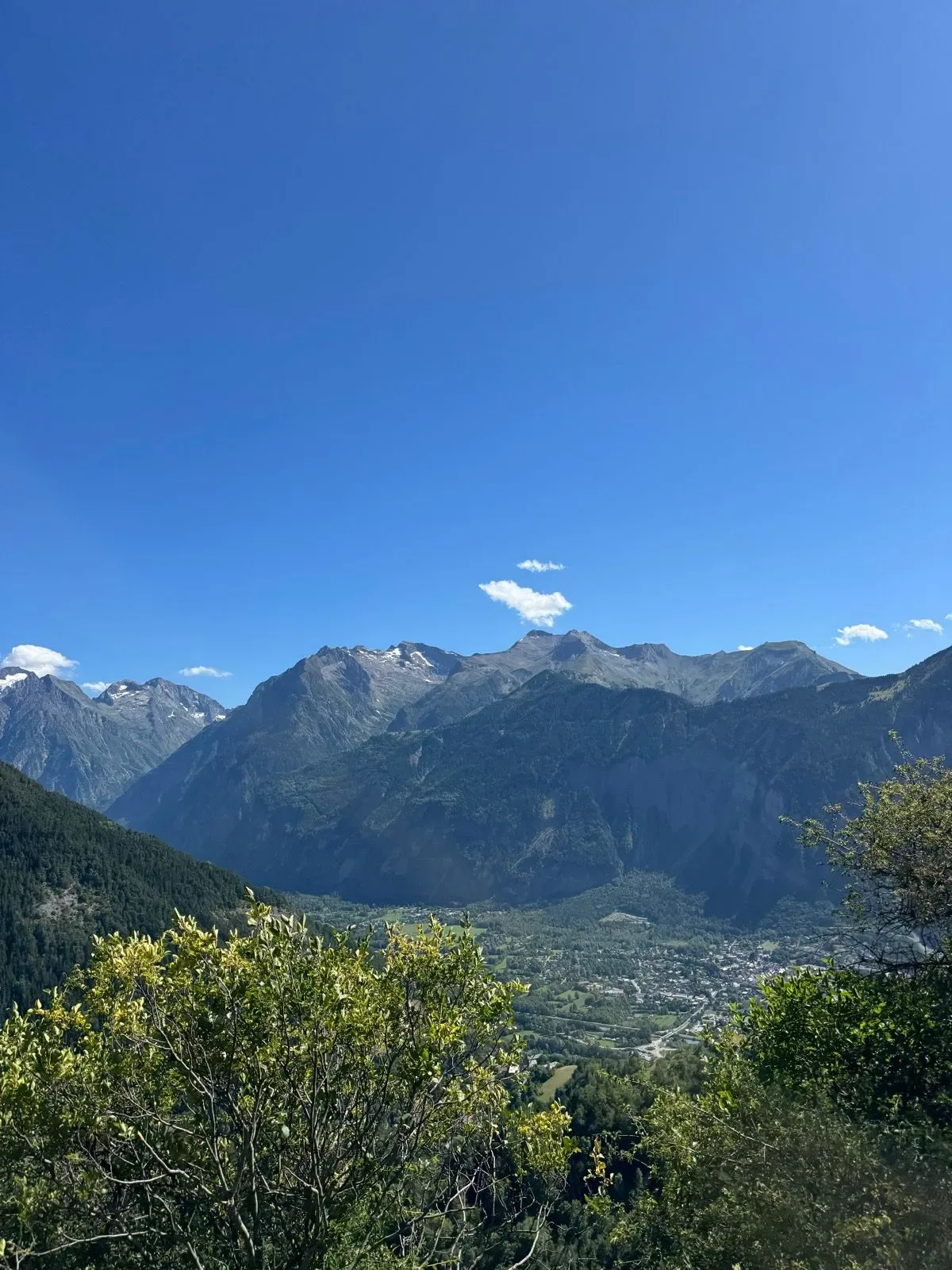
I'd had Alpe d'Huez circled on the map for years, and rolling out of Bourg d'Oisans on a cool morning I finally got to find out what the fuss is about. The valley floor along the Romanche is deceptively flat — a few kilometres past the campsites, a quick glance up at the Écrins walls, and then the road just tips up. No warning, no ramp-in. Bend 21 appears and you're already out of the saddle.
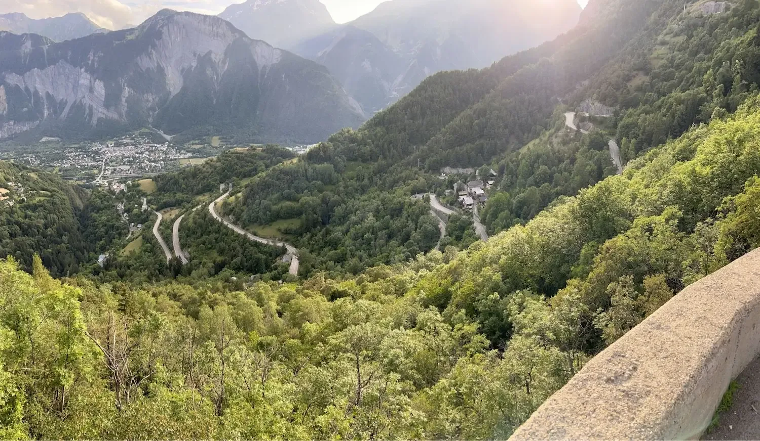
The lower hairpins through La Garde-en-Oisans are the ones that hurt. Double-digit ramps in the trees, no view, just the numbered signs counting down and the names of old Tour winners at every switchback. It's ridiculous fun — reading off Coppi, Zoetemelk, Hinault while your heart rate climbs with the altimeter. Higher up the gradient eases and the valley opens behind you: Bourg shrinks to a grid of rooftops, and the stacked lacets you've already ridden lie below like a diagram.
Through Huez village the road calms, and by the time you roll under the Tour finish banner at Alpe d'Huez itself, legs half-cooked, there's a whole parade of bakeries and cafés waiting. I grabbed an espresso and a pain aux raisins near the church of Saint-Ferréol, refilled bottles, and then pointed the bike east — because this is where most people turn around, and they shouldn't.
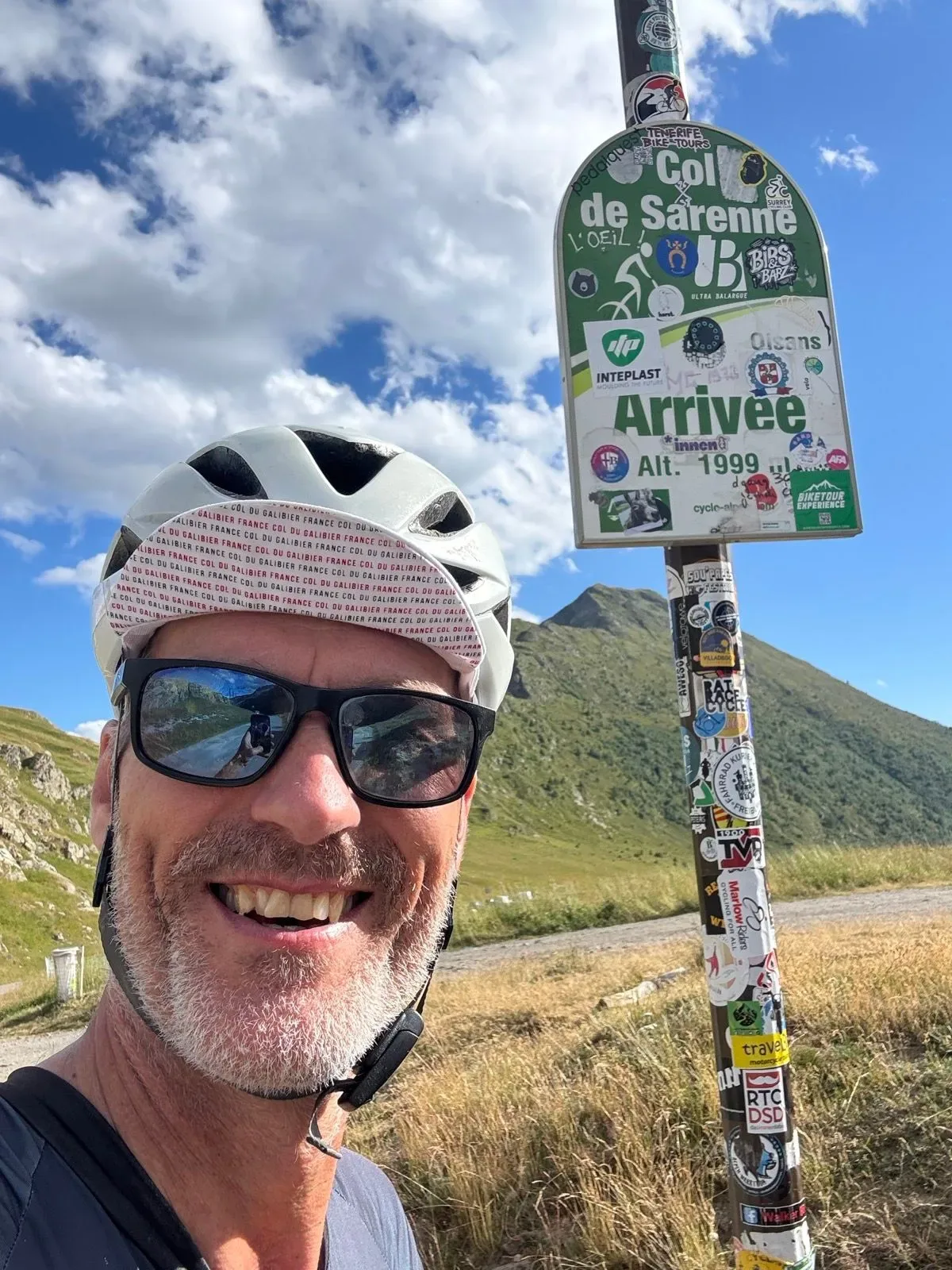
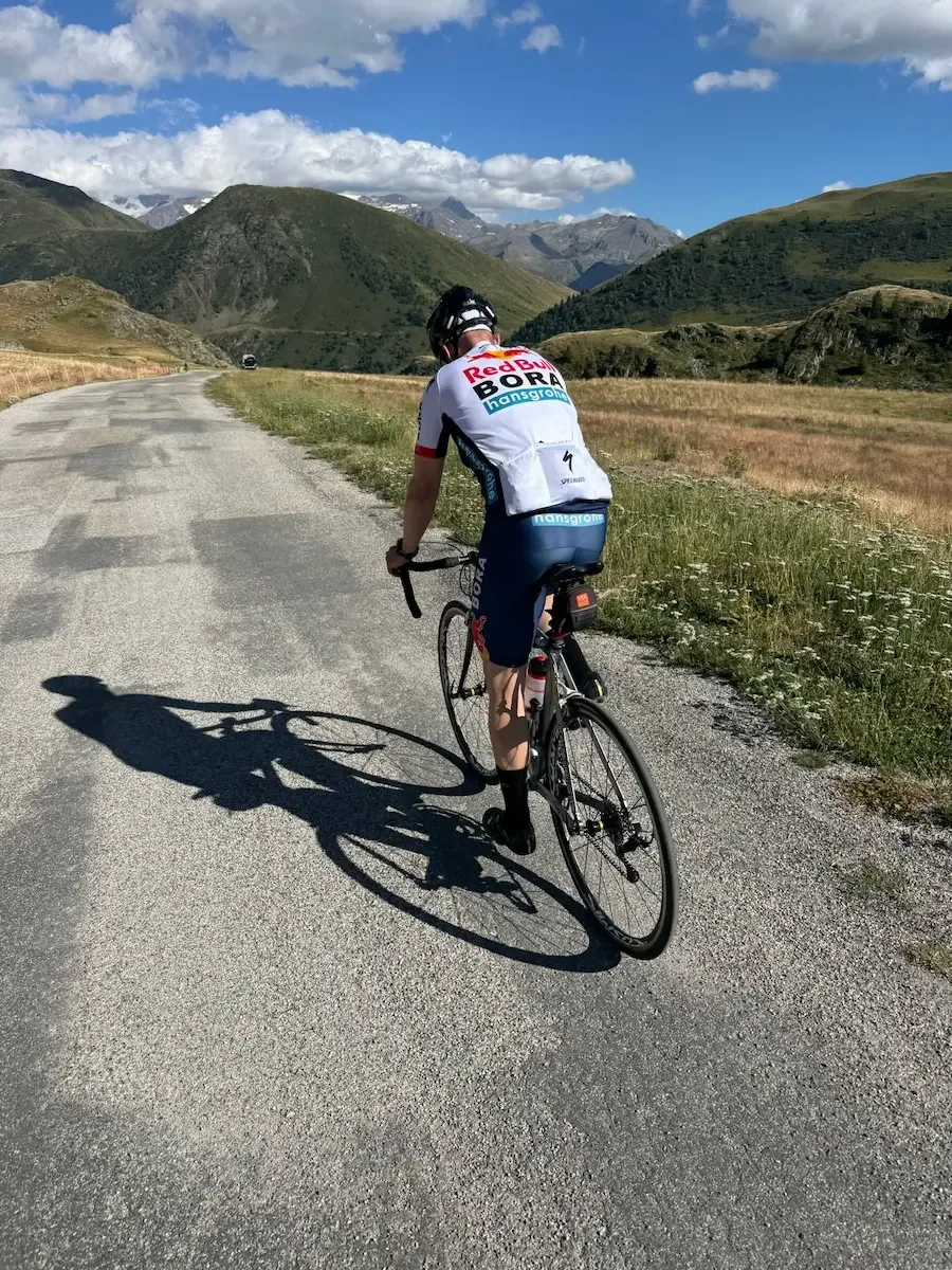
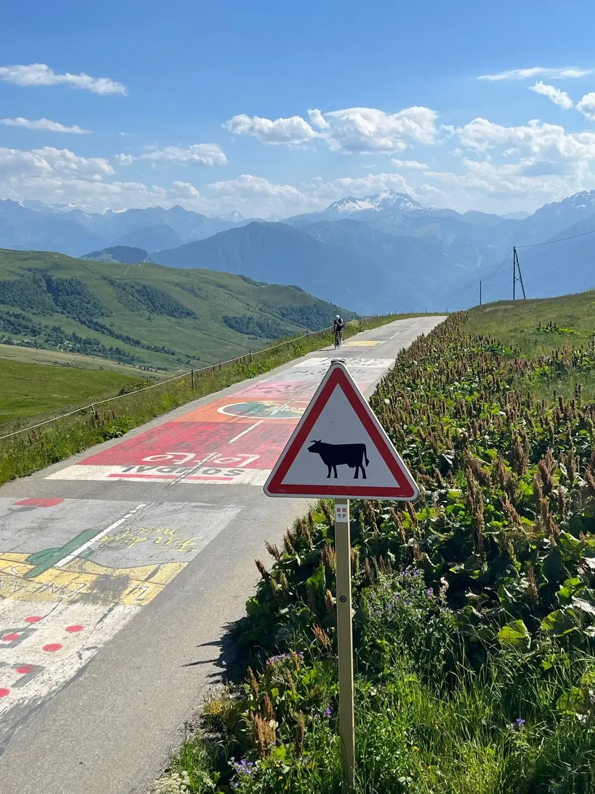
The road out to Col de Sarenne is a different planet. Narrow, cracked, no barriers, sheep on the tarmac. You climb gently through high pasture with the Grandes Rousses to your left and the jagged Oisans skyline opening up ahead. The summit sign at 1999 m is scruffy and covered in stickers. From up there the Massif des Écrins and La Meije fill the southern horizon, glaciers and all. It feels remote in a way Alpe d'Huez never does.
The descent is where you pay attention. Loose gravel in the corners, broken tarmac, sharp drops through Clavans-le-Bas toward the Romanche gorge. Lac du Chambon appears below, proper turquoise, and then you're down in Mizoën and onto the old road back along the valley. A proper day out.

Kilometre by Kilometre
A kilometre and a half of flat along the Romanche, past the campsites. The hairpins are stacked up the hillside above you and the Écrins walls stand behind them. There's no more flat after this.
The road kicks up with no warning. The hardest kilometre of the whole loop is here, between km 2 and 3 at over 10%. You hit bend 21 before you've found a rhythm.
The bends are numbered in reverse, 21 down to 1, and each one carries the name of a stage winner. The gradient runs between 7 and 9.5%, mostly in trees with no view. Bourg d'Oisans gets smaller below you.
Past the church of Saint-Ferréol at 1,392 metres, and the gradient backs off. By km 13.8 you're up in Alpe d'Huez itself at 1,781 metres, where the finish line and the bakeries are.
Out of the resort centre heading east. The road keeps climbing gently past the Altiport Henri Giraud, the mountain airfield at 1,871 metres. That's the high point before it drops again.
A hundred metres of descent to km 21, at 1,764 metres. Open high pasture, nothing built on it. The Sarenne starts here.
Three kilometres at 7.2%, narrow cracked tarmac, sheep on the road and no barriers. The sign at the top reads 1,999 metres. From here you can see the Écrins glaciers and La Meije to the south.
Steep and exposed, with loose gravel in the corners and broken sections. Down to Clavans-le-Bas at 1,371 metres, with the Romanche gorge opening below.
Past Mizoën at 1,183 metres, with the turquoise Lac du Chambon far below. It kicks up again between km 40 and 42 — fifty metres at the end of a long day. From km 46 it's valley floor on the old road along the Romanche, avoiding the N91 tunnels.
Gallery
Route map & elevation profile
Key Climbs
The climbs we single out in Oisans & MaurienneHighlights
- •The 21 bends are numbered in reverse and carry the names of stage winners — Coppi, Zoetemelk, Hinault, one after another.
- •Up at Alpe d'Huez there are bakeries and a finish line; twelve kilometres on at the Sarenne there are sheep on the road and no barriers.
- •The Altiport Henri Giraud at 1,871 metres, the mountain airfield between the Alpe and the Sarenne, is the high point before the pass.
- •From the sign at the Sarenne you can see the Écrins glaciers and La Meije to the south.
- •The turquoise Lac du Chambon appears below you on the descent to Mizoën.
Must know
- ⚠⚠️ The Col de Sarenne opens late in spring and can be closed. Check the status before you go.
- ⚠⚠️ Take it steady on the descent off the Sarenne. The tarmac isn't good, there's gravel in some of the corners, and there are no barriers.
- ⚠⚠️ The last place to buy anything is Alpe d'Huez at km 13.8. There's nothing at the Sarenne, and the next village is Mizoën at km 35.7.
- ⚠⚠️ Twelve kilometres at 8.7% — bring a gear you can stay seated in. A 34/32 works for most riders; 34/34 gives you room.
- ⚠⚠️ The road climbs again between km 40 and 42. Fifty metres you won't see coming that late in the day.
- ⚠⚠️ Take the old road along the Romanche back to Bourg. The N91 tunnels are no place to ride.
Café & Water
- km 15.3O'BAROUDEUR
Café and bar up on the plateau, past the centre of Alpe d'Huez and east of the turn for the Sarenne. Two hundred metres off the road, with a terrace. Croissants and pastries from eight, bagels and lunch from twelve, and a coffee list that's unusually good for 1,800 metres. Open every day from half seven to seven. The last place for food and water before the pass — it's twenty kilometres to the next one, and there's nothing at the Sarenne.
Frequently asked questions
- Why does the route descend the Sarenne rather than the Alpe?
- Because the loop only works in this direction. Descend the 21 bends and you're back in Bourg d'Oisans without having crossed the Sarenne. This route climbs the Alpe, carries on east over the pass, and comes down the D25 to Clavans-le-Bas and Mizoën — a different valley entirely. Several guides recommend the reverse, climbing the Sarenne and descending the Alpe; that's a shorter loop and a different call.
- When is the Col de Sarenne open?
- Normally mid-June to late September. The pass sits at 1,999 metres so the snow lies late, and it's rockfall-prone: two landslides closed the road in June 2026, and it was passable again by early July.
- How bad is the descent off the Sarenne?
- Bad enough to respect. The east side toward Clavans gets far less coverage than the Bourg d'Oisans side, so there's not much to go on beforehand. It's narrow, steep and technical the whole way down to Clavans-le-Bas.
- Are there really 21 bends?
- That's the number on the signs, and each one has its own number and a winner's name. The count starts at 21 at the bottom and works down to 1. The bends run between kilometre 2.3 and 14.2.
- Is this the same climb as climbfinder's "Col de Sarenne"?
- Climbfinder splits the Sarenne into three separate ascents — from Alpe d'Huez, from Lac du Chambon and from Bourg d'Oisans. This route takes it from the Alpe d'Huez side as part of a loop, not as a standalone climb.
Know a better line?
Submit your local route and get featured with your own author profile, Strava, Instagram and Buy Me a Coffee link.
Share a Route → →Similar routes
Col du Galibier & Col du Télégraphe
Same French-Alps tier — different HC pass (Galibier and Télégraphe)
Col de la Croix de Fer og Col du Glandon
Same Bourg-d'Oisans base — Croix de Fer and Glandon instead of Alpe d'Huez
Col de la Madeleine
Adjacent valley's iconic HC climb — Madeleine south face