Col du Galibier & Col du Télégraphe
About this Route
← Oisans & Maurienne Cycling Guide88.9 km and 2,859 metres of climbing, out and back from the Col du Lautaret. The route takes both sides of the Galibier and the Télégraphe: up the Galibier from the south, down to Saint-Michel-de-Maurienne, then back over the Télégraphe and the Galibier from the north. Just as hard every time, and the summit gives you La Meije and the Écrins glaciers.
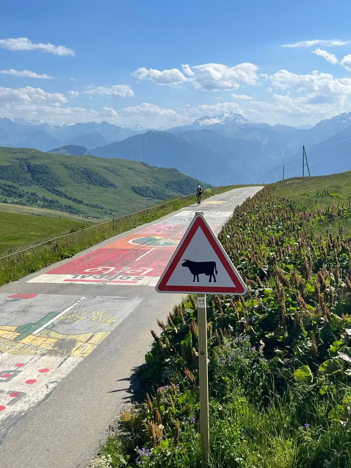
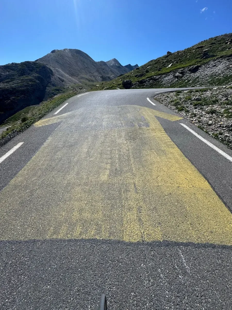
This is one of my favourite climbs, and I rode it again in July 2025. The Galibier isn't on this year's Tour route, but that hardly matters up here: the riders' names are still painted on the tarmac, and the climb is as hard as it has always been.
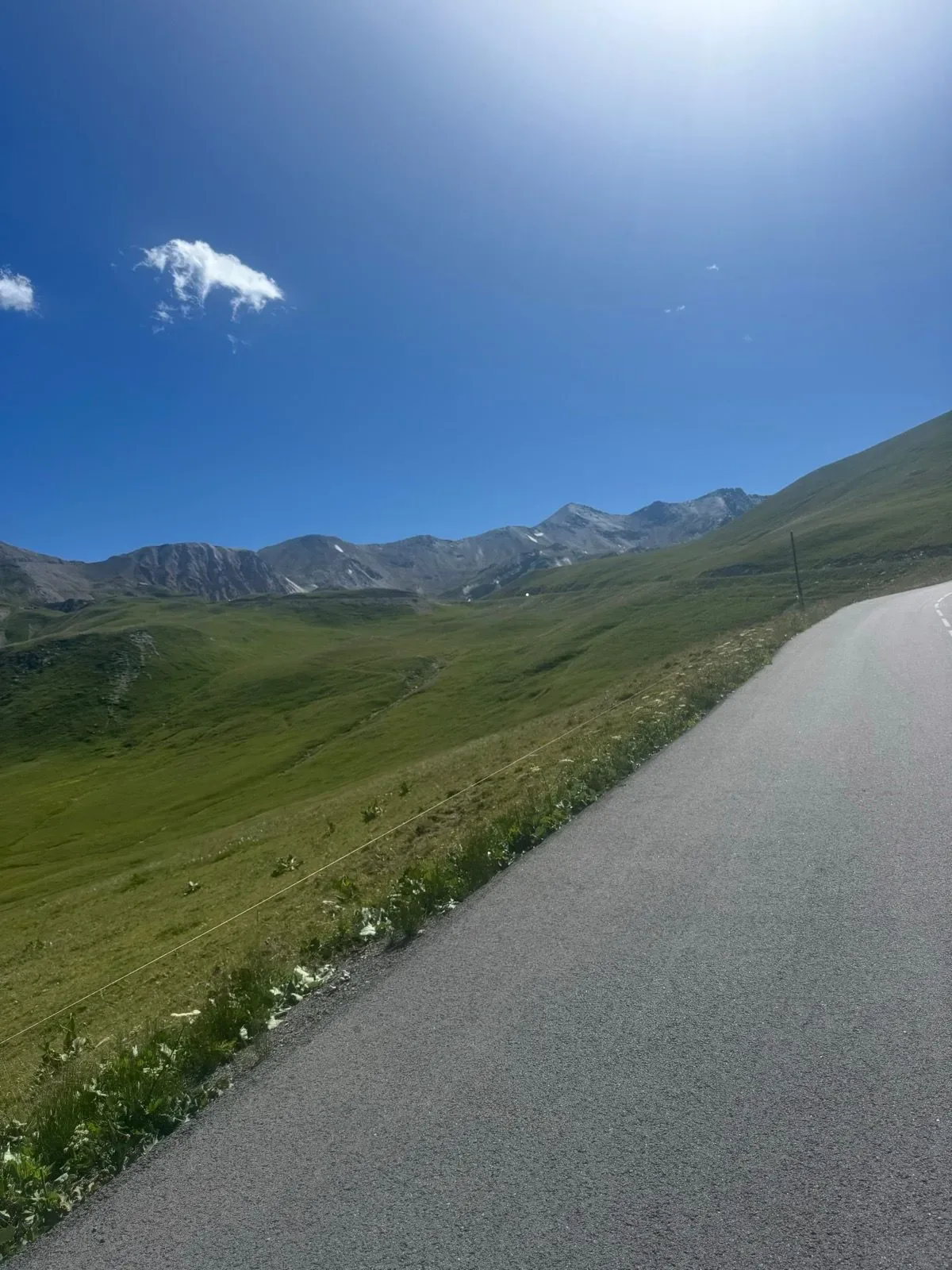
The ride starts at the Col du Lautaret, 2,059 metres up, and it climbs from the first pedal stroke. It's 8.6 kilometres at 6.6% to the top, with the hardest kilometre at 9.2% just before you crest. There's no forest up here and nothing to give shelter, just open high mountain, and you feel the altitude straight away. The final ramps run over the top of the tunnel that cuts under the pass, and at 2,642 metres the Henri Desgrange memorial stands where it has always stood.
From the summit the road drops 18.6 kilometres and a little over 1,200 metres to Valloire. Scree and rock at the top, Plan Lachat in the valley floor after twelve kilometres, and finally the alpine pasture along the Valloirette, cowbells and the river winding beside the road. Put a jacket on before you drop in. From Valloire it's only 5.1 kilometres and 151 metres up to the Col du Télégraphe: the south side is the easy side, and after the Galibier you barely notice it. Then it's 12.3 kilometres down through the spruce to Saint-Michel-de-Maurienne at 715 metres. That's the lowest point of the ride, and this is where you turn around.
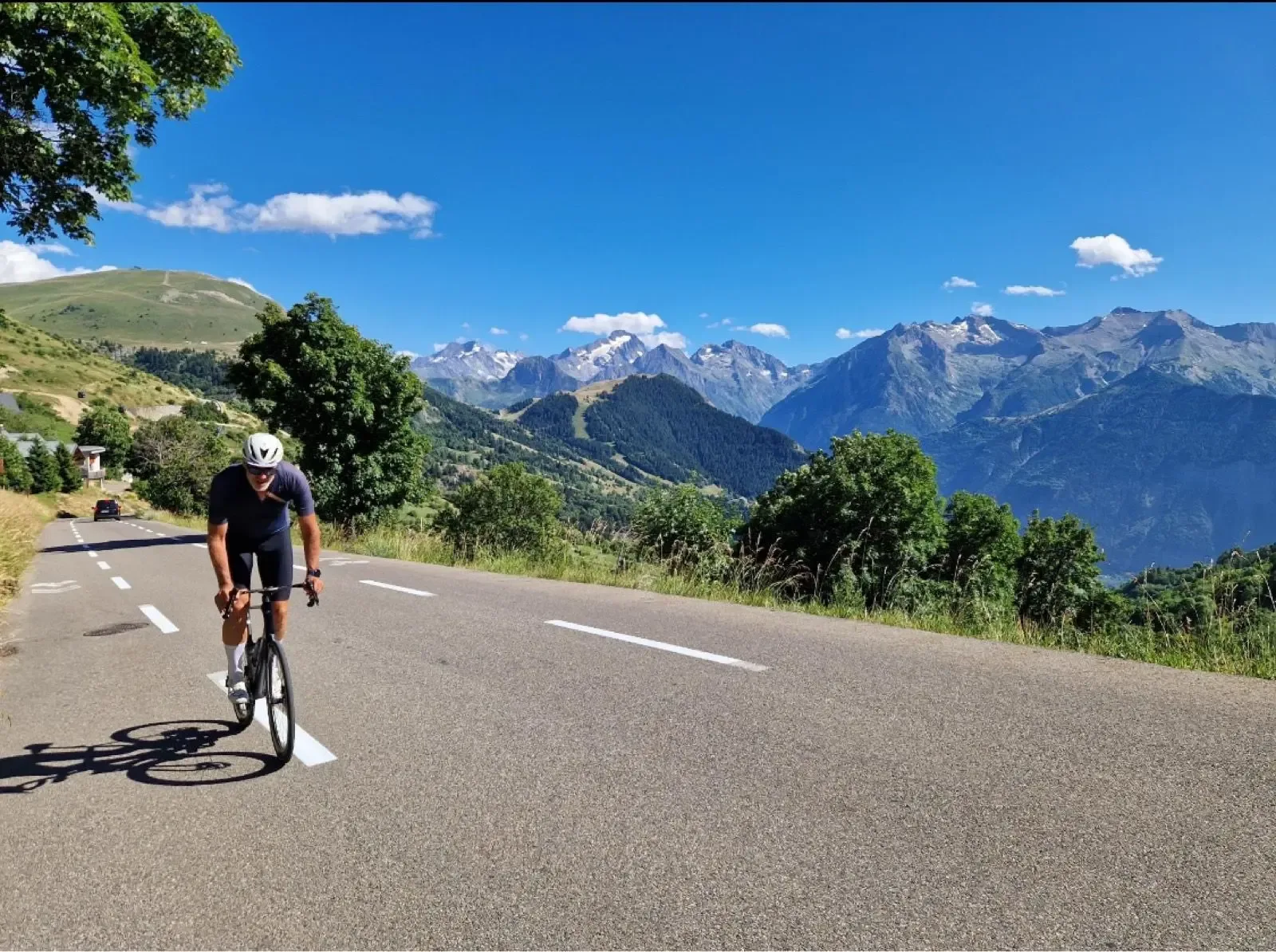
Out of Saint-Michel the road goes almost straight up into the spruce. Cool air off the Arc valley, the smell of pine, and a steady rhythm that gives your legs time to wake up. The Télégraphe is even and relentless: 12.5 kilometres at 6.8%, tree cover almost the whole way, with gaps that open onto the Maurienne valley far below. At the Fort du Télégraphe you breathe out for the first time, before a short, fast descent spits you back into Valloire. The bakery on the square has tarte aux myrtilles, blueberry tart, and it's the last proper chance to stock up before the high mountains.
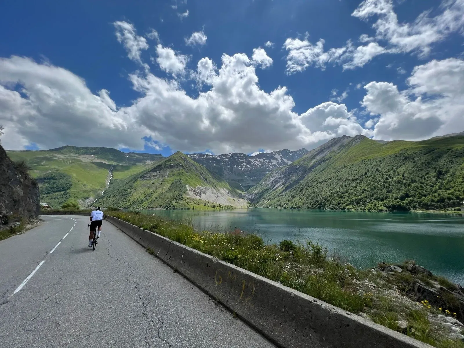
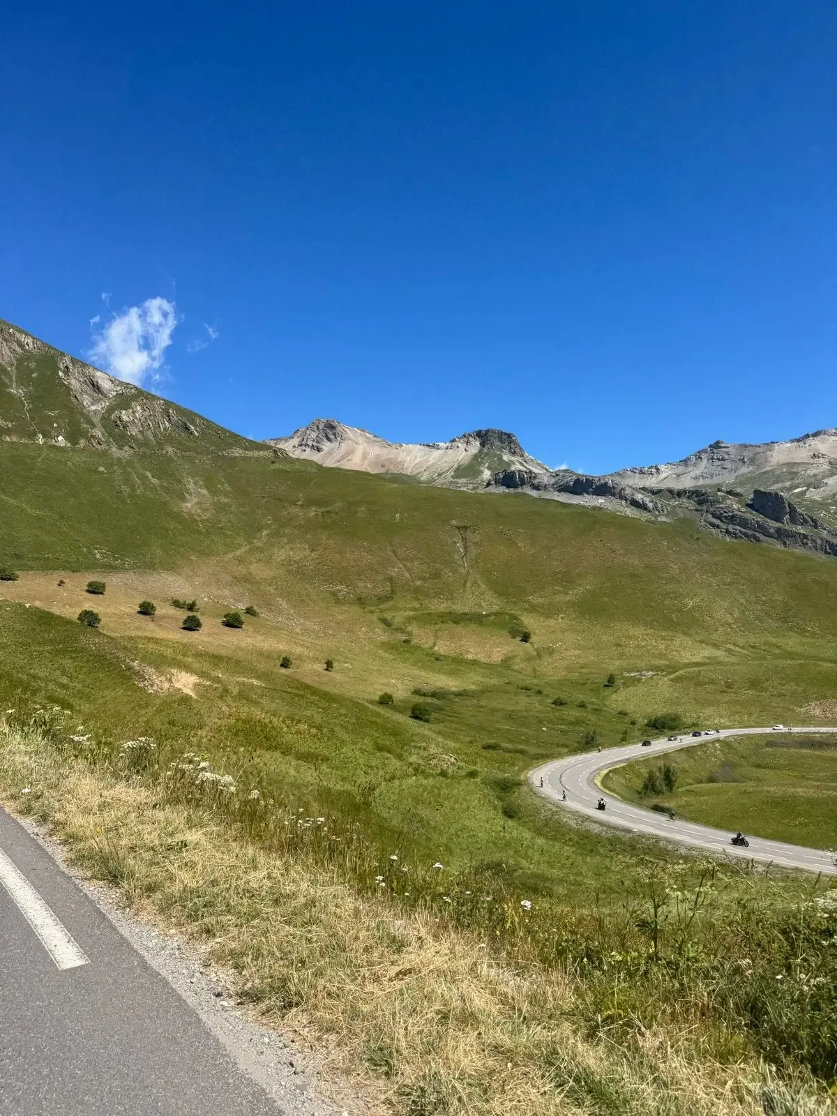
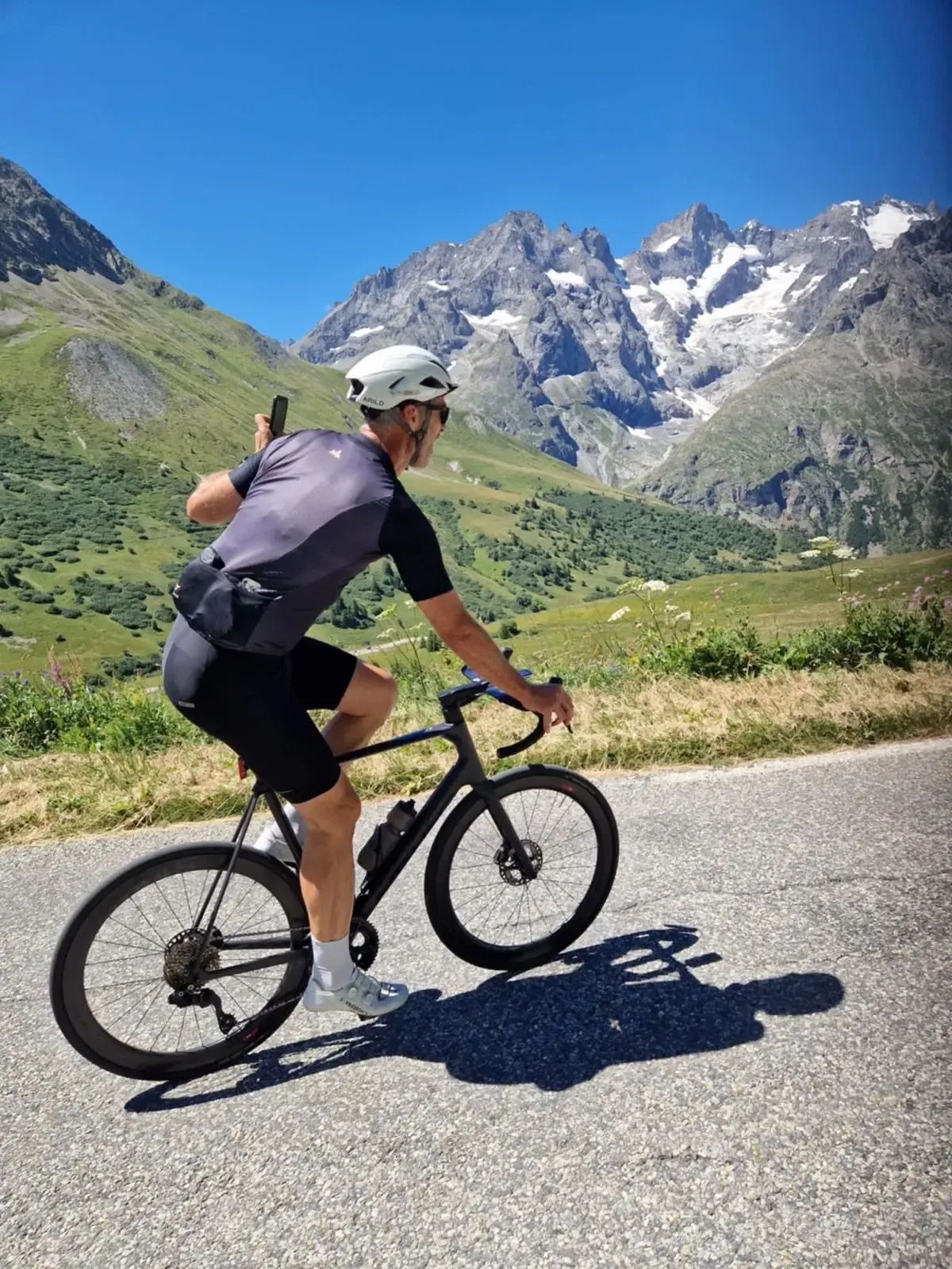
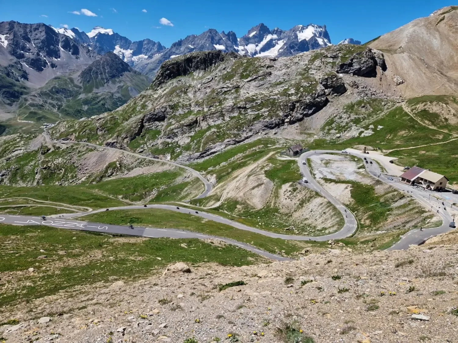
Out of Valloire the valley floor climbs 6.3 kilometres to Plan Lachat, and that's where everything changes. The road throws itself across the river and points straight up the north face: 11.9 kilometres at 7.8%, with the hardest kilometre at 9.7%. The grass disappears, it turns to scree and rock, and the air noticeably thins. Up here the hairpins stack on top of each other, and this is the Galibier everyone knows from television. The last ramps above the tunnel are bare and exposed, but the top pays out: La Meije and the Écrins glaciers to the south, the Grandes Rousses to the west. Then it's 8.7 kilometres down to the refuge at the Lautaret, a big terrace, hot chocolate, an omelette, and La Meije hanging straight in front of you while you get your breath back.

Kilometre by Kilometre
8.6 kilometres at 6.6% average, from 2,059 to 2,642 metres. The hardest kilometre sits at 9.2% just below the top. Open high mountain the whole way, nothing to give shelter.
18.6 kilometres and a little over 1,200 metres down. Scree and rock at the top, Plan Lachat in the valley floor after twelve kilometres, alpine pasture down to the village. Jacket on before you start.
5.1 kilometres and 151 metres, 3.0% average. The south side of the Télégraphe is the easy side.
12.3 kilometres through spruce forest, open bends and good sightlines. Saint-Michel sits at 715 metres, the lowest point of the ride. This is where you turn around.
12.5 kilometres at 6.8% average out of Saint-Michel. Wooded and even, with the hardest kilometre at 8.5% four kilometres in. The Fort du Télégraphe marks the top.
4.9 kilometres back down into the village. Last proper chance to stock up before the high mountains.
6.3 kilometres and 294 metres along the valley floor at 4.7% average, with a steep ramp on the way out of Valloire. This is where you leave the village for the high mountains.
11.9 kilometres at 7.8% average up the north face, with the hardest kilometre at 9.7% near the top. Scree and rock, hairpins stacked on top of each other.
8.7 kilometres down the south side back to the start.
Gallery
Route map & elevation profile
Key Climbs
The climbs we single out in Oisans & MaurienneCol du Télégraphe (Saint-Michel)
HCHighlights
- •Both sides of both passes in one ride. Most riders take the Galibier from one side and turn around; here you get the south side out and the north face home, with the Télégraphe from both sides in between.
- •The summit sits at 2,642 metres, with the Henri Desgrange memorial and views to La Meije and the Écrins glaciers to the south and the Grandes Rousses to the west.
- •The north face from Plan Lachat is the Galibier everyone knows from television. 11.9 kilometres at 7.8%, with the hairpins stacked on top of each other above the treeline.
- •The Télégraphe gives the ride a completely different character. 12.5 kilometres of even, wooded climbing out of Saint-Michel, with gaps opening onto the Maurienne valley.
- •You start at 2,059 metres. The Col du Lautaret is one of the highest starting points in the Alps, and the high mountains begin from the first pedal stroke.
Must know
- ⚠⚠️ Check that the Galibier road is open before you travel. Snow often holds until late May or early June, and the pass closes again in October.
- ⚠⚠️ Take a windproof jacket and long-fingered gloves. The descent runs from 2,642 to 715 metres, and it is cold at the top even on hot summer days.
- ⚠⚠️ The second Galibier comes at kilometre 68. The north face is the hard side: 7.8% average against 6.6% on the way up from the Lautaret.
- ⚠⚠️ Valloire is the last village before the high mountains. Fill your bottles and pick up food there, on the way out and on the way back.
- ⚠⚠️ Expect heavy motorcycle and campervan traffic on the pass road in high season. The road is narrow on the north side and several bends have limited sightlines.
- ⚠⚠️ The altitude tells. You are above 2,000 metres from the start and the summit is 2,642. Ride easier than you would at the same gradient down in the valley.
Café & Water
- km 62Le flocon gourmand
Bakery on the Place des Chouillères in the middle of Valloire. You pass it twice, at kilometre 27 and kilometre 62, and it is the last stop before the north face of the Galibier. Closed on Tuesdays.
Frequently asked questions
- When does the Col du Galibier open?
- The pass is usually closed by snow from late October until late May or early June. The opening date depends on the winter's snowfall, and the road often opens in stages. Check the current road status before you travel.
- How high is the Col du Galibier?
- 2,642 metres. The Col du Télégraphe sits at 1,565 metres, and the Col du Lautaret, the start and finish of this route, at 2,059 metres. The lowest point is Saint-Michel-de-Maurienne at 715 metres.
- Why is the Galibier listed as category 2 here?
- Because the categories follow Strava, which rates each segment separately. The segment from the Col du Lautaret to the summit is only 8.6 kilometres and 562 metres of climbing, since the Lautaret already sits at 2,059 metres. That gives category 2. The Galibier from Saint-Michel is HC.
- Why don't the climbs add up to the route's 2,859 metres?
- Because two of the segments overlap. "Col du Galibier (Saint-Michel)" is 35 kilometres and covers the entire return half, including the whole Télégraphe. Add all three together and you count the Télégraphe twice.
- Which side of the Galibier is harder?
- The north face from Plan Lachat, the one you climb on the way home. 11.9 kilometres at 7.8%, with the hardest kilometre at 9.7% near the summit. By comparison, the south side from the Lautaret is 8.6 kilometres at 6.6%.
Know a better line?
Submit your local route and get featured with your own author profile, Strava, Instagram and Buy Me a Coffee link.
Share a Route → →