Col du GalibierHC
Same climb, other sideCol du Galibier (sud)8.58 km · 6.7%
- 34.89 km
- Length
- 5.5%
- Average
- 1,913 m
- Elevation gain
- 10.6%
- Steepest 500 m
- 2,634 m(GPX)
- Summit
The full north side from Saint-Michel-de-Maurienne, the way the Tour rides it. First the Col du Télégraphe, twelve kilometres at seven to eight per cent through spruce forest. Then five kilometres and 250 metres of descent into Valloire. And then the Galibier starts. The descent in the middle drags the average down hard: the climb measures 5.5 per cent overall, but the two ascents on their own sit at around seven per cent each — and those are the numbers that describe what you actually ride.
How long will Col du Galibier take you?
A rider at 3.0 W/kg takes about 165 minutes to climb Col du Galibier.
Put in your weight and the average power you hold on the gradient. We add 9 kg for bike and kit. The model works the time out from physics, and it has been tested against real rides.
Riders
The road
The road over the Galibier opened in 1891, and the pass has been part of the Tour de France since 1911.
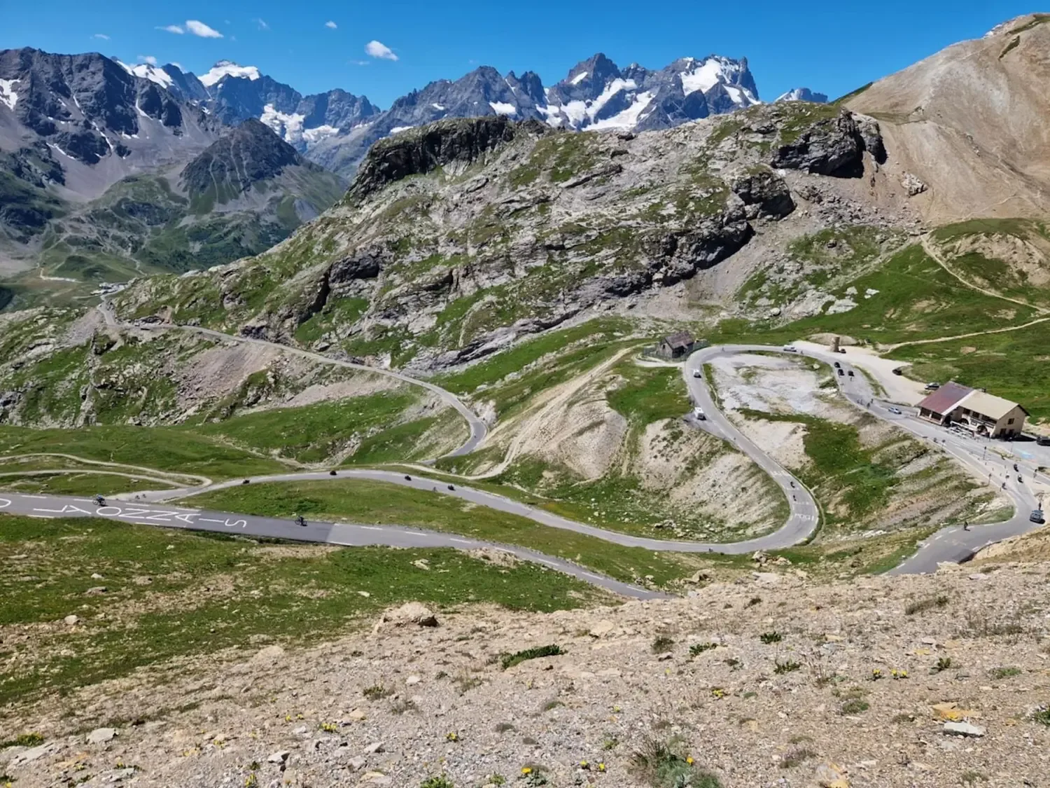
The tunnel under the summit was built for cars in 1976. The cycling road goes over the pass rather than through it, and finishes at the sign at 2,642 metres.
From Saint-Michel-de-Maurienne at 715 metres to the top is 35 kilometres. The north side closes in winter and usually opens in late May or early June, though the date moves with the snow. At the top stands the Henri Desgrange memorial, raised in 1949 for the man who invented the race.
The climb
The average does not describe this climb, and the reason is the descent in the middle. You ride two ascents with a break between them.
The first twelve kilometres up the Télégraphe sit steadily at seven to eight per cent, wooded almost the whole way, with glimpses down into the Maurienne valley. A climb you can find a rhythm in.
Then it drops. Five kilometres and 250 metres of descent into Valloire. Check the forecast before you go: in high summer a jersey is enough, but early or late in the season a windproof in the back pocket can be worth having.
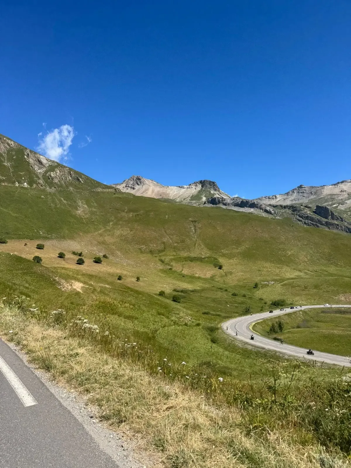
From Valloire there are eighteen kilometres left. The first few kilometres climb gently up the valley alongside the Valloirette, and that is where people go too hard. From Plan Lachat the road rears up — the last seven kilometres sit between eight and ten per cent, and the very last kilometre is the steepest on the climb. There is no forest left up here for shelter, and the altitude tells.