Col de la Croix de Fer og Col du Glandon
About this Route
← Oisans & Maurienne Cycling GuideTwo bucket-list Tour de France cols linked in a single 79.1 km loop out of Bourg-d'Oisans, with 1,908 m of climbing that stacks the Glandon and the Croix de Fer back-to-back before dropping you past turquoise reservoirs to the valley floor.
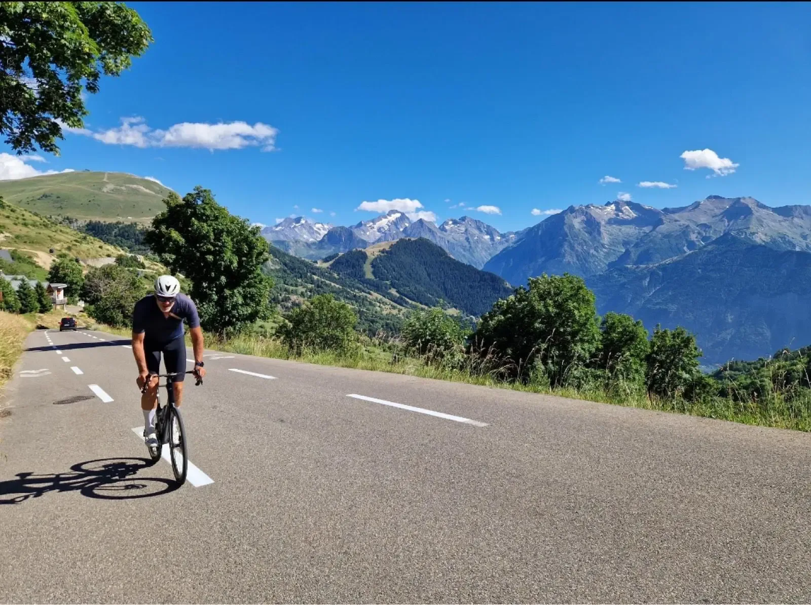
I'd been circling this loop for years before I finally rode it. Two TdF summits on the same mountain, linked by that famous high-alpine shoulder — the same Col du Glandon the peloton crossed in 2022 on the way to Alpe d'Huez. Rolling out of Bourg-d'Oisans early, the Romanche valley is still cool and quiet. You can see the 21 bends of l'Alpe stacked up on the opposite wall — a useful reminder of what you're not doing today.
The climbing doesn't start until ten kilometres in, at Allemont. From there it's eleven kilometres up the Combe d'Olle, with Le Rivier d'Allemont the only place to stop on the way. Just past the hamlet the road drops a hundred metres — what you've just gained, gone — and straight out of the bottom comes the steepest kilometre on the route, over 11%.
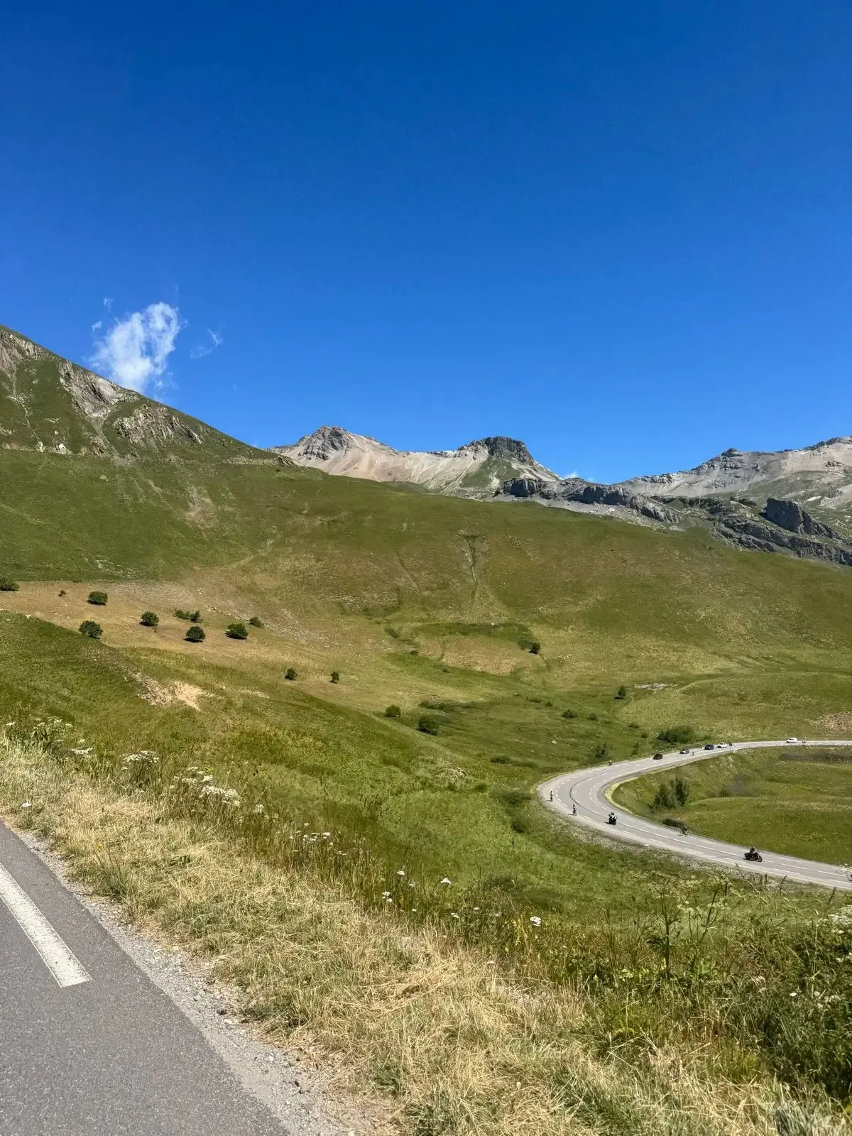
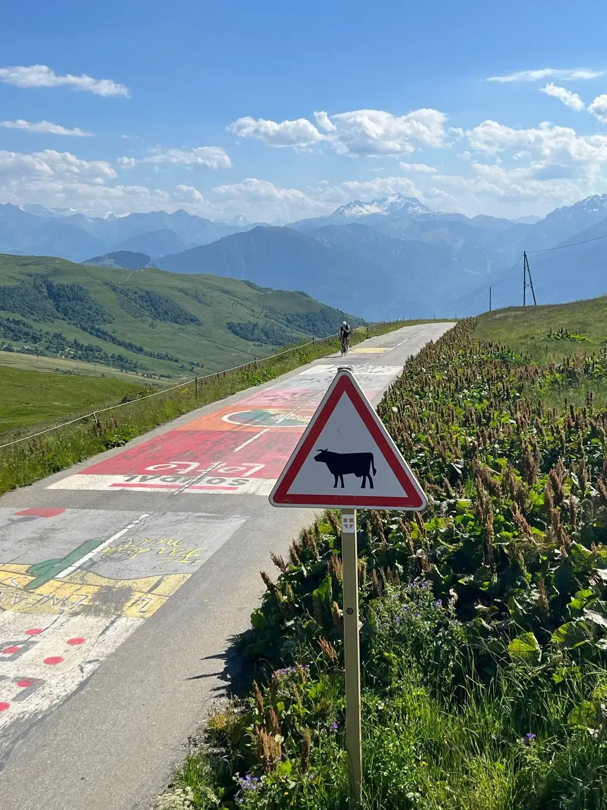
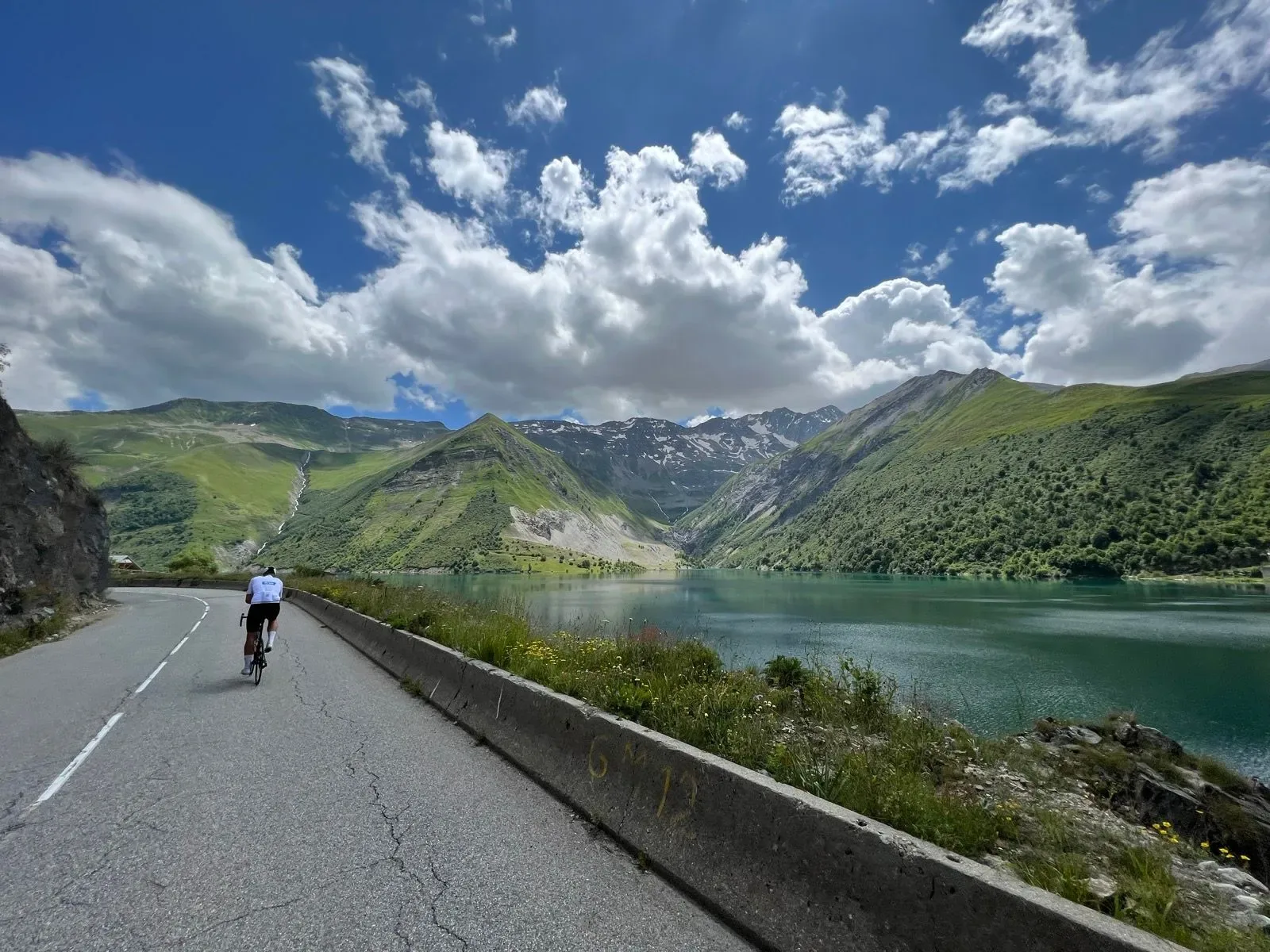
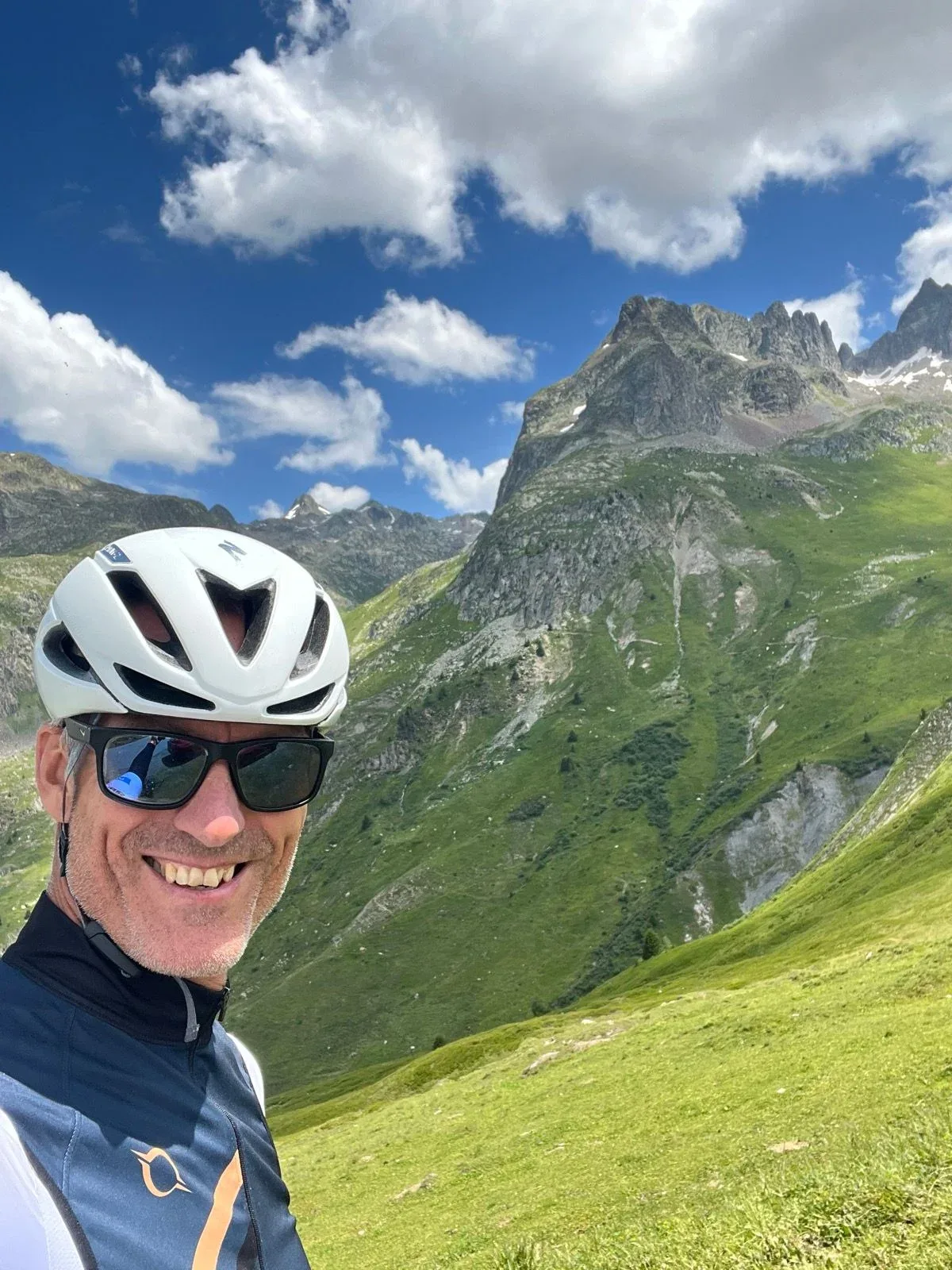
Above the treeline it opens out. The Lac de Grand Maison sits far below on the right, and to the south the Aiguilles d'Arves stand on the horizon like broken teeth. The final ramps up to the Col de la Croix de Fer are long but steady — 7 to 9%, with emerald grass and grazing cows on both sides.
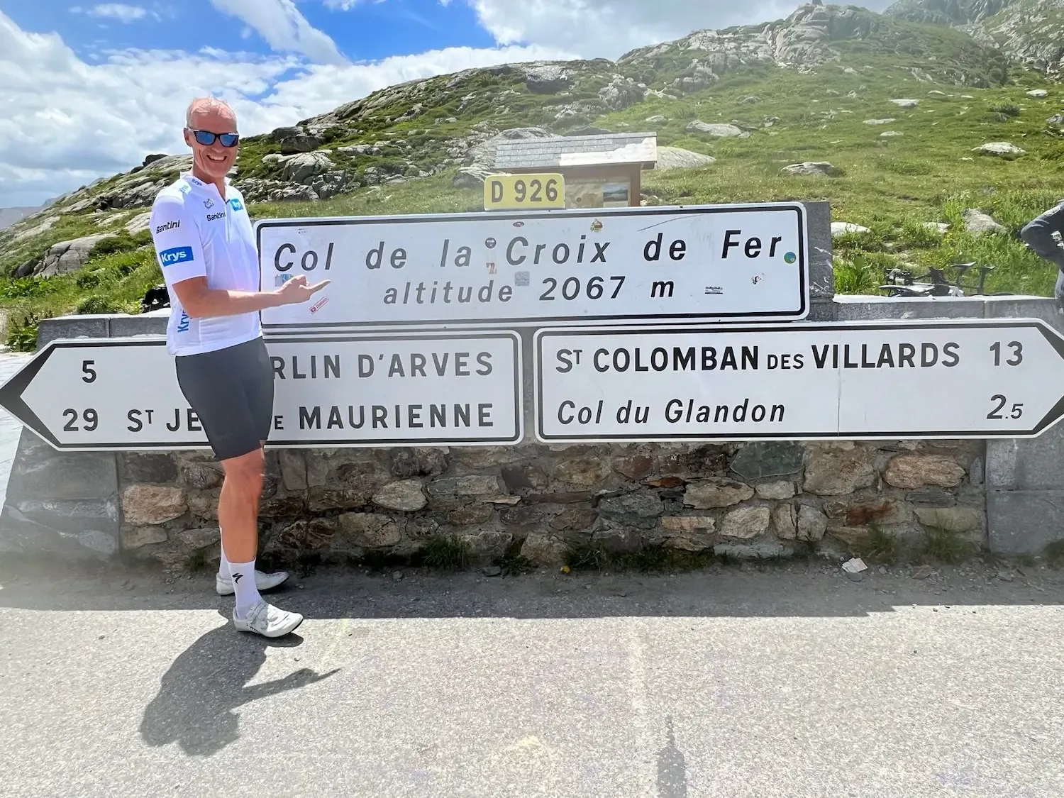
At the top, 2,067 metres, the iron cross and the stone signpost point toward Saint-Jean-de-Maurienne and Saint-Colomban-des-Villards. The buvette next to it sells coffee, Coke and a slice of tarte aux myrtilles. From here I turn and take the spur down to the Col du Glandon, three kilometres away on the D 927. The pass sign sits at 1,924 metres, with a car park and a small hut.
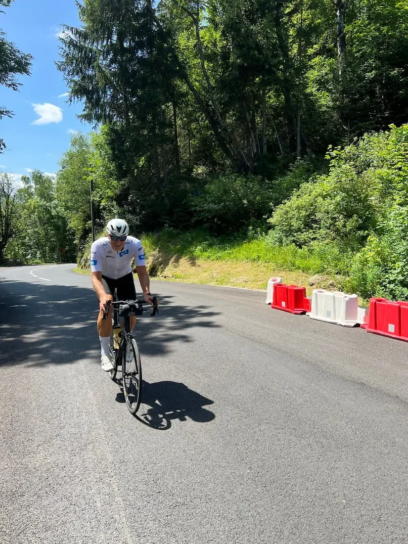
The descent is the payoff: thirty-seven kilometres back down the valley, first the open hairpins above the treeline, then the wooded sections of the Combe d'Olle. But it isn't in one go — four climbs on the way, and the last one lands exactly where you've stopped expecting them. A windproof is worth having even on a warm day.
Back on the valley floor the tailwind did most of the work into Bourg-d'Oisans. Two legendary cols on one loop — it doesn't need embellishing. Just go and ride it.

Kilometre by Kilometre
Ten kilometres of near-flat from 722 metres, along the river with the valley sides rising on both flanks. The climbing doesn't start until km 10.5.
The road bites at over 5%. Allemont sits at 776 metres — the last place with a shop and bakery before the top. The Barrage du Verney is right there.
Eleven kilometres up the valley. The first half is gentle, but from km 15 the gradient settles above 6.5%, and km 19 to 20 is 9.8. Le Rivier d'Allemont at 1,278 metres is the only place to stop between here and the top.
The road falls 110 metres to 1,183. A kilometre and a half downhill in the middle of the climb — what you've just gained, gone.
Straight out of the bottom comes the steepest kilometre on the route at 11.3%. After that it runs between 7 and 9 up to the reservoir. The Lac de Grand Maison opens up on the right at km 31, four hundred metres off the road.
Open high mountain above the treeline. A short drop at km 33, then it climbs again to the top. The Col de la Croix de Fer at 2,065 metres is the high point of the route, with the sign and the iron cross. This is where you turn.
Three kilometres back the way you came, then a short right turn onto the D 927. The Col du Glandon sits at 1,924 metres, three hundred off the main road — sign, car park and a small hut.
Thirty-seven kilometres of descent, but not in one go: four climbs on the way, 231 metres in total. The longest runs from km 55 to 58 — 110 metres back up after you thought you were done.
Gallery
Route map & elevation profile
Key Climbs
The climbs we single out in Oisans & MaurienneCol de la Croix de Fer (Barrage du Verney)
HCHighlights
- •The Combe d'Olle is eleven kilometres with mountain walls on both sides and Le Rivier d'Allemont the only sign of life.
- •The Lac de Grand Maison sits on the valley floor to the right at km 31, turquoise water between the slopes.
- •From the final ramps you can see the jagged peaks of the Aiguilles d'Arves to the south.
- •The iron cross and the stone signpost on the Croix de Fer, 2,067 metres.
- •The spur to the Glandon on the D 927 — three kilometres down from the Croix de Fer to a pass sign off the main road.
Must know
- ⚠⚠️ Check the D 926 is open before you go. Some years the pass stays shut well into May, and there's no other road up from the Oisans.
- ⚠⚠️ Le Rivier d'Allemont at km 21 is the only stop before the top. From there it's eighteen kilometres to the Chalet du col de la Croix de Fer.
- ⚠⚠️ Past Le Rivier the road drops a hundred metres, and straight out of the bottom comes the steepest kilometre on the route, over 11%.
- ⚠⚠️ The 4.6% average tells you little about the ramps. You want a gear that works at 11%.
- ⚠⚠️ The descent isn't in one go. Four climbs sit in the last thirty-seven kilometres, the longest between km 55 and 58.
- ⚠⚠️ The spur to the Glandon on the D 927 is narrow with gravel patches. Keep the speed down.
Café & Water
- km 39.3Chalet du col de la Croix de Fer
Café and restaurant twenty metres off the road at the pass itself. Tarte aux myrtilles and coffee at 2,065 metres, and hot food if you want more than that. Open every day from nine. The only place to stop on the whole route after Le Rivier d'Allemont at km 21.
Frequently asked questions
- Does the route cross to the Maurienne side?
- No. It turns at the Croix de Fer and comes back down the same road through the Combe d'Olle. Most loops over these two passes finish in Saint-Jean-de-Maurienne, which is a different valley and needs a lift back. This route starts and ends in Bourg-d'Oisans.
- Do you go over the Col du Glandon?
- Yes, but as a spur. The main road, the D 926, passes ninety metres from the Glandon and thirty metres lower. The pass sign itself sits on the D 927, a side road — three kilometres from the Croix de Fer, and the last stretch climbs up to the sign. This route takes that spur.
- When is the pass open?
- The D 926 is normally shut from November until well into May. Snowfall decides it, and some years it doesn't open until June. Check the status before you go — there's no other road up from the Oisans.
- Why do sources give such different lengths for the Croix de Fer?
- Because they start in different places, and because the pass has several ascents. From Allemont, climbfinder counts 24.2 kilometres and 1,432 metres of climbing. The Strava segment starts at the Barrage du Verney and gives 27.9 and 1,459. Quäldich measures from Rochetaillée on the valley floor and reaches 32.3 and 1,557. From Saint-Jean-de-Maurienne on the other side there are two more variants, both around 28 kilometres. All describe the same pass — just from different starting points and different valleys.
- Is this the Marmotte route?
- Partly. La Marmotte takes the Glandon from Bourg-d'Oisans and carries on down toward the Maurienne, while this route turns at the Croix de Fer. The climb from the Oisans side is the same up to the passes.
- Does the pass say 2,067 or 2,065 metres?
- The sign at the pass reads 2,067, and that's the figure most sources give. Survey maps put it between 2,064 and 2,068, and our GPS track measures 2,065. The difference is a few metres between where the sign stands and the highest measured point on the road.
Know a better line?
Submit your local route and get featured with your own author profile, Strava, Instagram and Buy Me a Coffee link.
Share a Route → →