Côte d'Héry-sur-Ugine & Col des Saisies
About this Route
← Tarentaise & Beaufortain Cycling GuideA 70.2 km Savoie loop with 1,705 m of climbing over the Côte d'Héry-sur-Ugine and the Col des Saisies. Both were on the route of Stage 19 of the 2025 Tour de France — until the stage was cut short the night before and the race went another way.
I rode this one in July 2025, a few days before the Tour de France was supposed to come over the same two climbs on Stage 19. The whole valley was getting ready. In Crest-Voland there was a bar and a big screen set up in the middle of the village, and a mural for Gino Mäder waiting to be unveiled as the race came through.
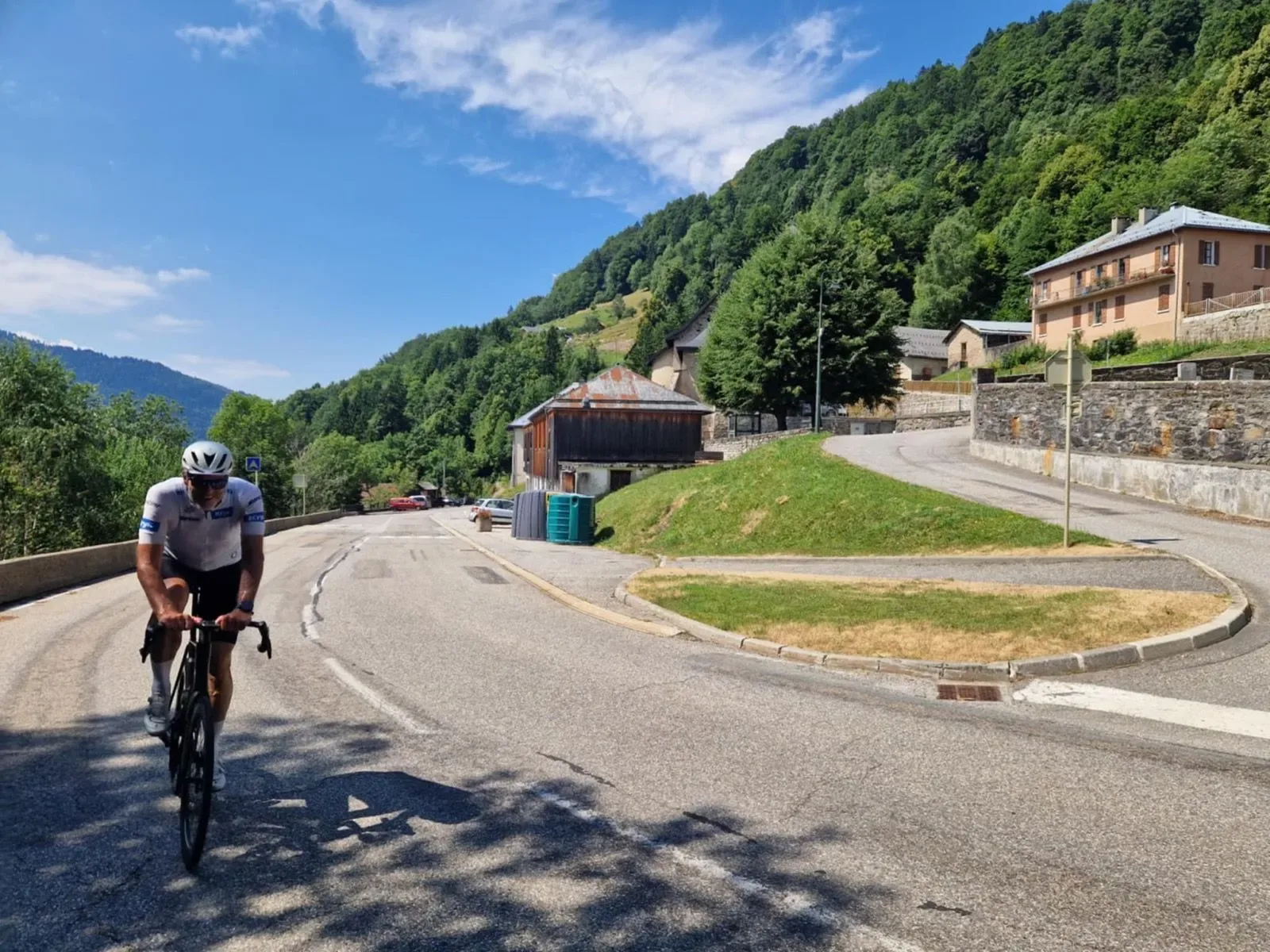
From Ugine the opening kilometres roll easily along the Val d'Arly, the Arly river on one side and limestone walls closing in on the other. It's a gentle warm-up, which is just as well, because the Côte d'Héry-sur-Ugine doesn't ease you into anything. The road narrows, the trees close overhead, and the gradient starts stacking in irregular ramps through the hamlets above Héry-sur-Ugine. Every so often the forest opens and you can see the Combe de Savoie dropping away behind you. The forest keeps the noise out, and the only rhythm is your own.
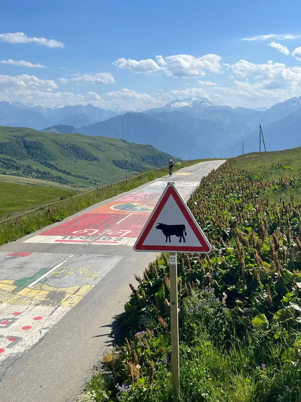
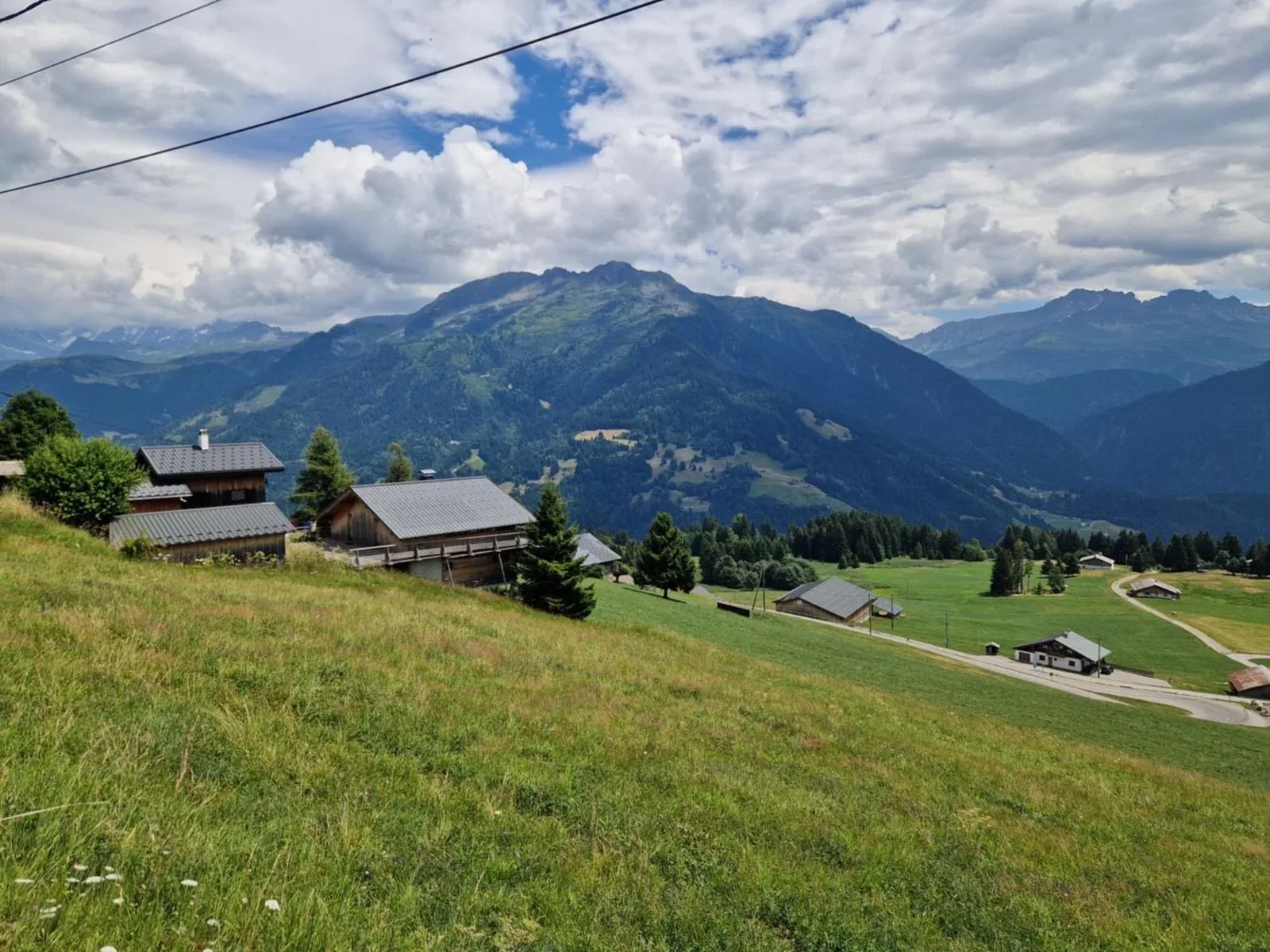
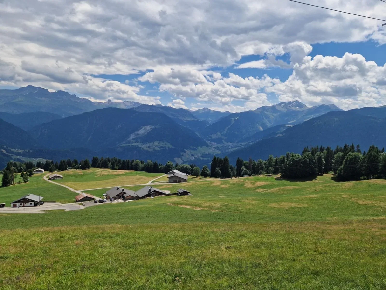
Over the top, the route strings together a high balcony section before the second climb: wooden Savoyard chalets, cows doing what cows do, and a long view across to the Aravis. A quick drop to the valley floor below Crest-Voland sets up the Col des Saisies from the north on the D218B. This one is a different animal — steady, rhythmic, the kind of climb where you can actually settle into a gear. Spruce forest gives way to open pasture, ski-lift cables start appearing overhead, and then Mont Blanc shows itself to the east, which is always a moment.
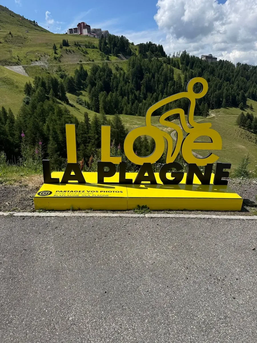
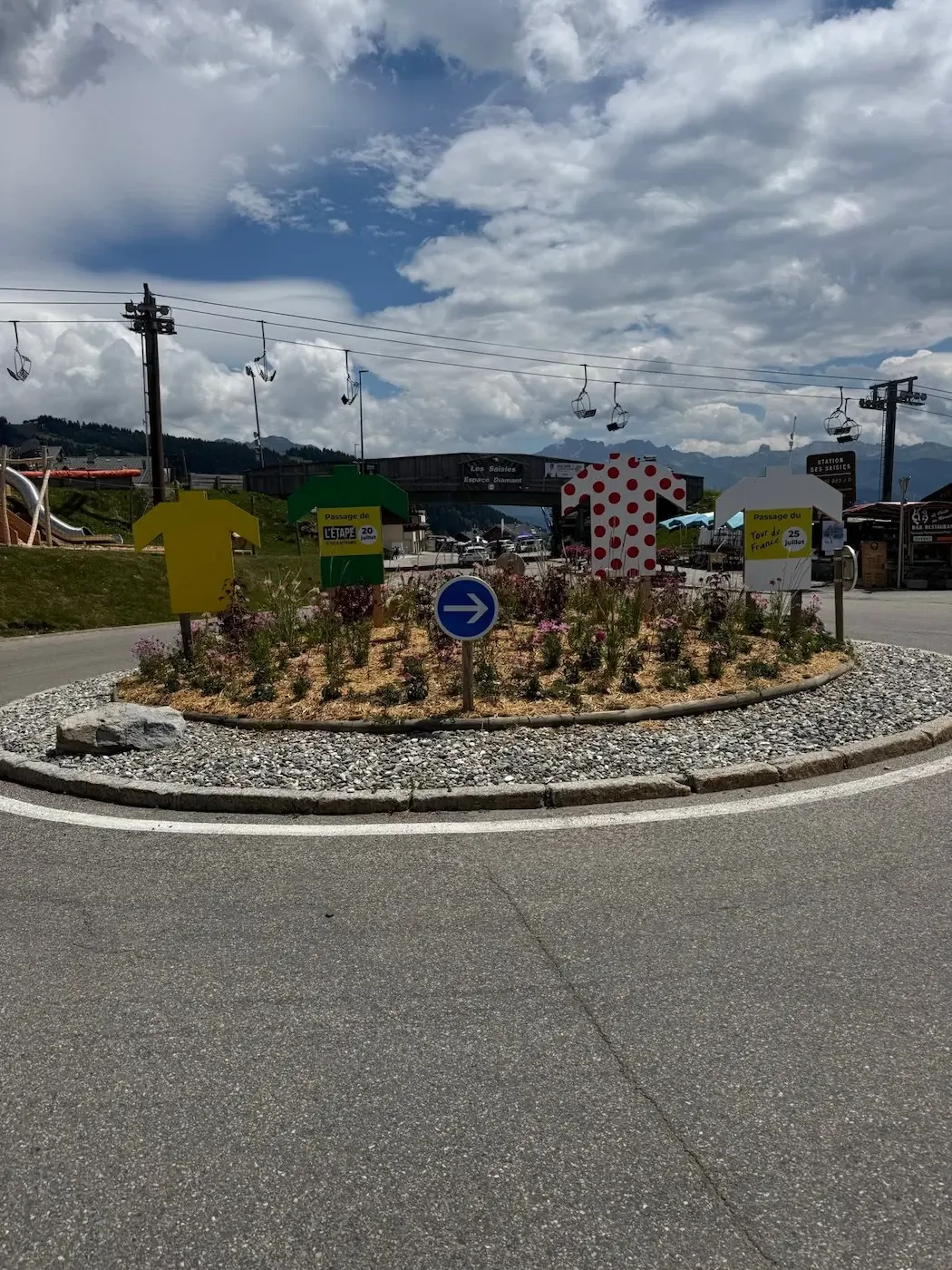
The summit at Les Saisies is pure Tour de France theatre in July. The roundabout at the ski station is decked out with yellow, polka-dot and green jersey cutouts planted in the flowerbeds, and the Espace Diamant plaza was already in race mode when I rolled in. I stopped for a coffee and a slice of tarte aux myrtilles at one of the bar-restaurants on the square — worth the few minutes off the bike. If you prefer something savoury, a Beaufort sandwich does the job; you're in Beaufortain country, after all.
The descent back toward the Arly through Hauteluce and Villard-sur-Doron is fast and flowing, with good sightlines through the sweepers and those stone-and-timber Beaufortain farmhouses flashing past. Legs were cooked by the time I rejoined the valley road back to Ugine. The stage was cut short at half past ten the night before, after an outbreak of lumpy skin disease in cattle around the Saisies. The race went from Albertville straight to Beaufort, and the two climbs were never raced. The mural in Crest-Voland was unveiled anyway.

Kilometre by Kilometre
Nine kilometres of near-flat beside the river, from 345 to 415 metres. Limestone walls on both sides and Savoyard villages. The climb starts while you're still in Ugine.
Eleven kilometres at 5.2% through hardwood forest on a narrow departmental road. Irregular ramps, hairpins and small hamlets. The top is at 1,004 metres at km 21, with the view back down to the Combe de Savoie.
Three kilometres of descent, 240 metres down to 760. This is where the communes of Ugine, Saint-Nicolas-la-Chapelle and Crest-Voland meet. There are no shops or cafés here.
The second climb starts. Six kilometres up to Crest-Voland at 1,217 metres, through pasture with wooden chalets and views across to the Aravis.
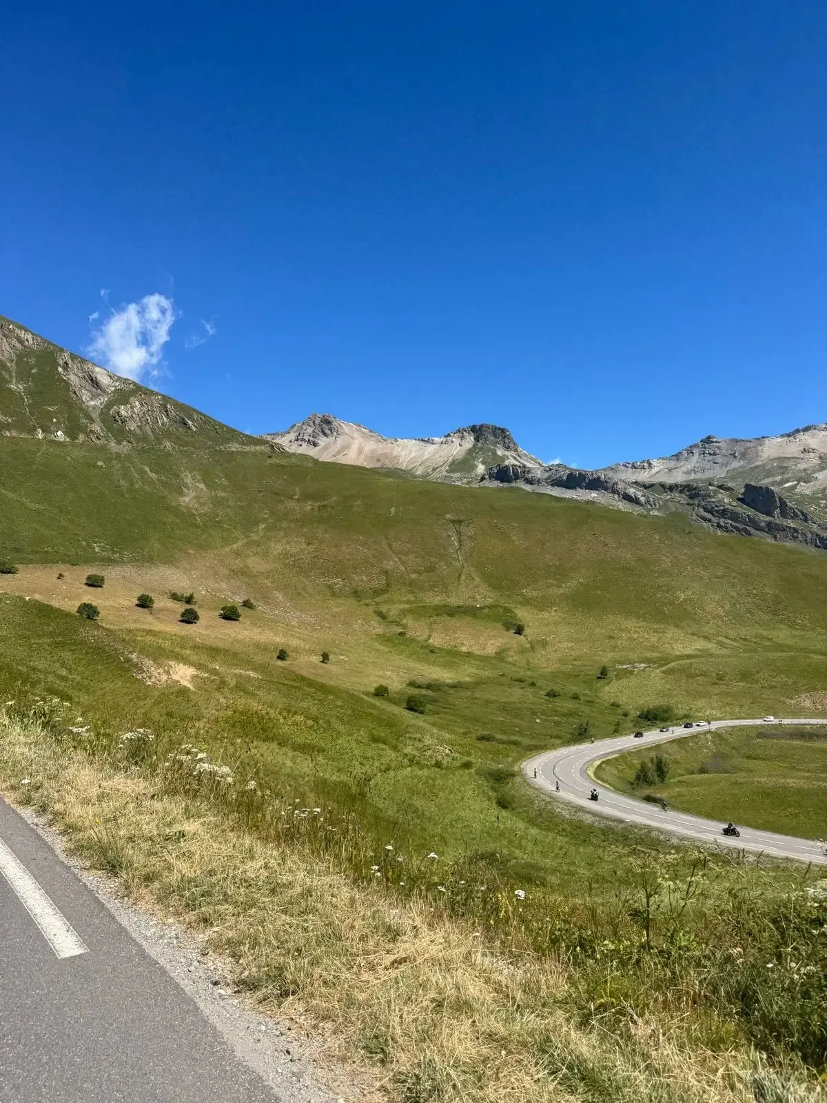
Eight more kilometres through spruce forest that opens into alpine meadow. Ski-lift cables overhead and the Mont Blanc massif to the east. The col at 1,662 metres at km 38.6 is the high point of the route.
Past the ski station, which sits a few metres below the col itself, and on down toward Hauteluce. At km 45.4 it climbs again, a short ramp at nearly 7% in the middle of the descent.
Twenty-four kilometres of descent through Villard-sur-Doron, past farmhouses in stone and timber. It kicks up briefly again around km 65. The last four kilometres drop nearly two hundred metres. It doesn't flatten out until you're back in Ugine.
Gallery
Route map & elevation profile
Key Climbs
Highlights
- •The two climbs couldn't be more different: Héry is narrow, shaded and irregular; the Saisies is long, open and steady.
- •The balcony section between them, looking across the valley to the Aravis range.
- •Mont Blanc appears to the east on the last few kilometres up to the Saisies.
- •The Gino Mäder mural in Crest-Voland, painted for a Tour passage that never came.
- •A twenty-four kilometre descent through the Beaufortain, past stone and timber farmhouses.
Must know
- ⚠⚠️ Fill bottles in Ugine before you roll out. The next reliable stop is Crest-Voland at km 30, and there's nothing between the top of Héry and there.
- ⚠⚠️ You want a windproof for the descent: you start it at 1,662 metres and it cools off fast even on a warm day.
- ⚠⚠️ At km 45.4 the road climbs again, a short ramp at nearly 7% in the middle of the descent. It's not where you'd expect one.
- ⚠⚠️ Héry runs on a narrow departmental road with no shoulder and blind corners. Traffic is moderate, but there's little room.
- ⚠⚠️ Afternoon storms build fast over the Beaufortain in July and August. Start early.
- ⚠⚠️ Les Saisies stays open through the summer. Expect traffic on the top kilometres in the holidays.
Café & Water
- km 39.3La Vache
Restaurant and bar in Les Saisies, seven hundred metres past the col and fifteen off the road. Burgers, charcuterie and simple hot food — and raclette or tartiflette if you've got time for a proper stop. Twenty to thirty euros, the last stop before twenty-four kilometres of descent to Ugine.
Frequently asked questions
- Did the Tour de France actually ride these two climbs?
- No. Both were on the route of Stage 19 in 2025, but the stage was cut short at half past ten the night before, after an outbreak of lumpy skin disease in cattle around the Saisies. The race went from Albertville straight to Beaufort, and the stage shrank from 129.9 to 95 kilometres. Spectators had been camped on the climb for days. In Crest-Voland the Gino Mäder mural was unveiled anyway.
- How high is the Col des Saisies?
- It depends what you're measuring. The sign at the resort says 1,650 metres, which is the height of the resort itself. The road pass sits at around 1,657. The geographical col, the low point in the ridge, is at 1,633 — but the road doesn't go there. It runs through the resort, four hundred metres away and thirty metres higher. The high point on this route is 1,662 metres at km 38.6, measured against IGN elevation data.
- Which side of the Saisies does this climb?
- From Crest-Voland, the northwest side. The Col des Saisies has six ascents — from Flumet, from Flons, from Beaufort, two from Villard-sur-Doron, and this one. Ours runs from km 24.3 to 38.6, fourteen kilometres of steady climbing through spruce forest that opens into alpine meadow.
- Is there water on the route?
- Yes, at both ends. Ugine has shops and a bakery at the foot, and Crest-Voland at km 30 has the same. Between them there are fourteen kilometres with nothing — eleven up to the top of Héry and three down to the valley floor, where there isn't so much as a café.
- Why is Héry harder than the average suggests?
- The 5.2% average hides that the gradient comes in surges. The ramps are irregular the whole way up, and you're shifting every couple of corners instead of getting settled. Eleven kilometres of that costs more than the number says.
Know a better line?
Submit your local route and get featured with your own author profile, Strava, Instagram and Buy Me a Coffee link.
Share a Route → →