Aime - La Plagne
About this Route
← Tarentaise & Beaufortain Cycling GuideA proper Tour de France climb from the Isère valley up to La Plagne: 41.8 km and 1,472 m of ascent up the D221, the road the Tour climbed in 2025, hairpin after hairpin through Savoyard forest and ski-station meadow, then a fast, flowing descent back to Aime.
I rolled out of Aime-la-Plagne on the valley floor, past the old stone houses and the Basilique Saint-Martin, with the Isère rushing somewhere below and the N90 traffic still thick in the morning air. A few hundred metres of warm-up is all you get before the D221 tips up and the road stops being polite. This is what I came for — a climb that actually tests you, on smooth French mountain asphalt.
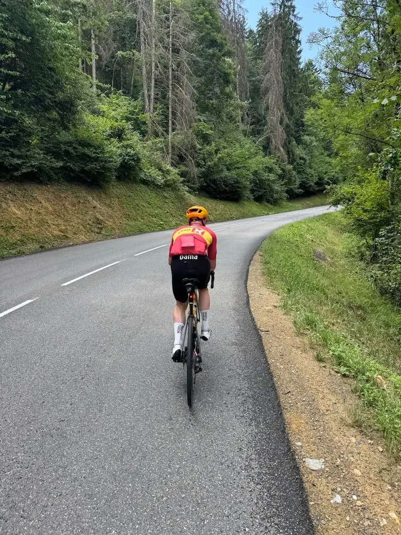
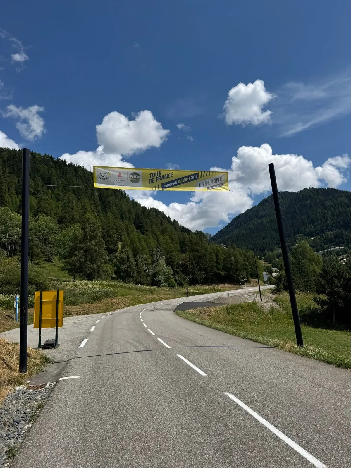
The lower ramps bite straight into the forest. Spruce and beech close over the road, the gradient settles into something honest and unforgiving, and the switchbacks start stacking on top of each other. Every now and then a gap in the trees drops the Tarentaise valley out below you, Aime shrinking into a grey smudge along the river. The tarmac is immaculate and grippy. The Tour came up this road on 25 July 2025, taking the D221 as far as Plagne Centre before the stage turned off toward Plagne Villages.
Higher up, the forest thins and the hamlets start. Les Villards first, then the scattered chalets at Plagne la Roche, wood and stone and the smell of cows somewhere off the road. This is Savoie doing what Savoie does — chapels, old barns, flower boxes at the windows, and a narrow strip of perfect black tarmac threading through it. The grade never really lets up, but the surroundings keep giving you reasons to look up from the stem.
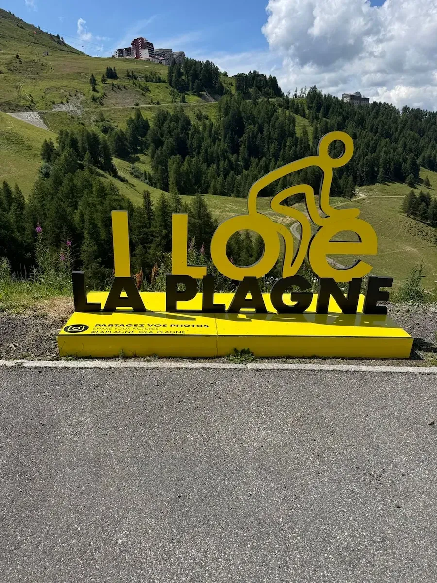
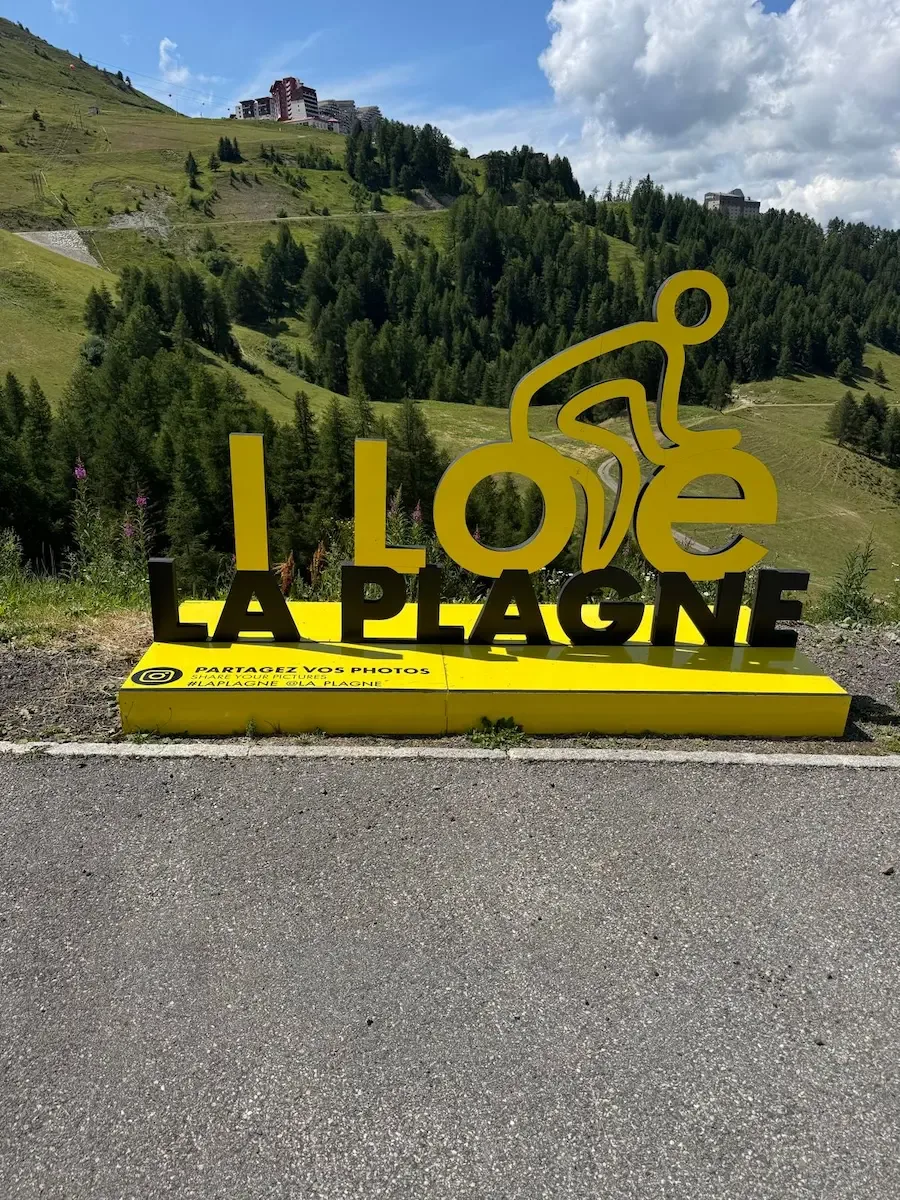
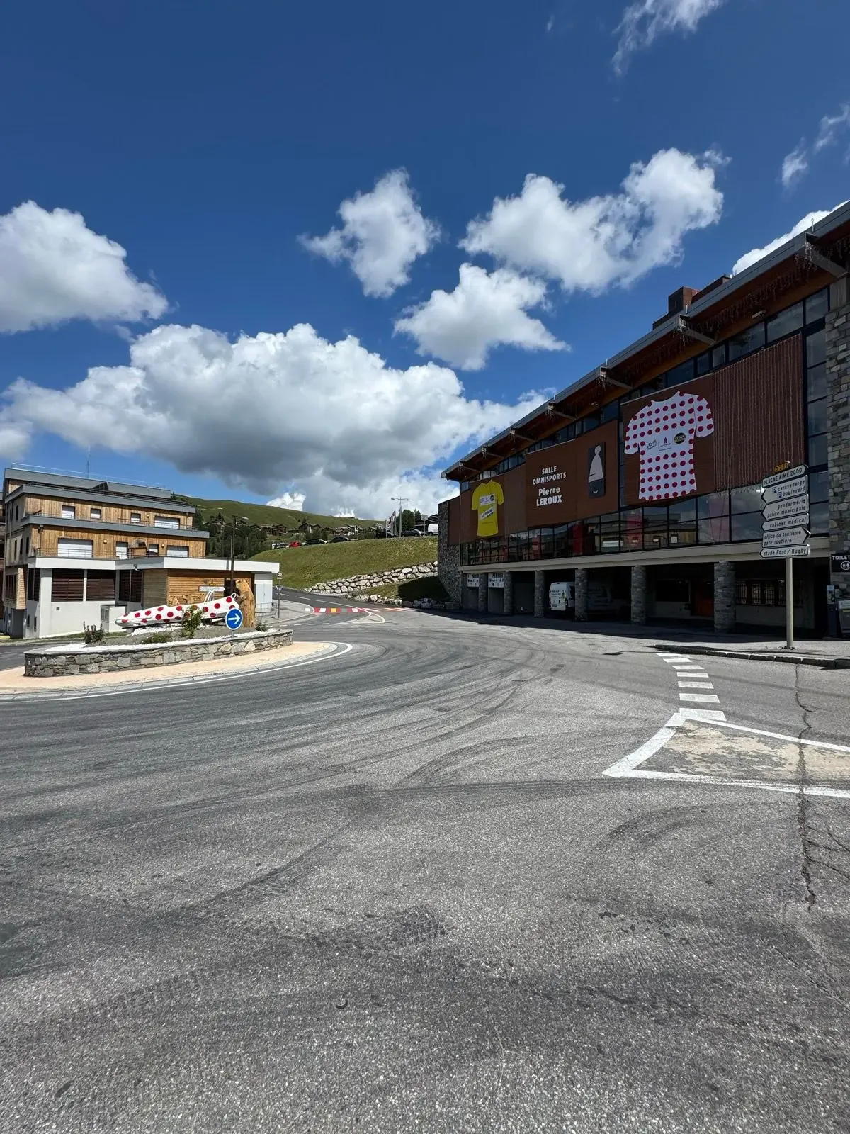
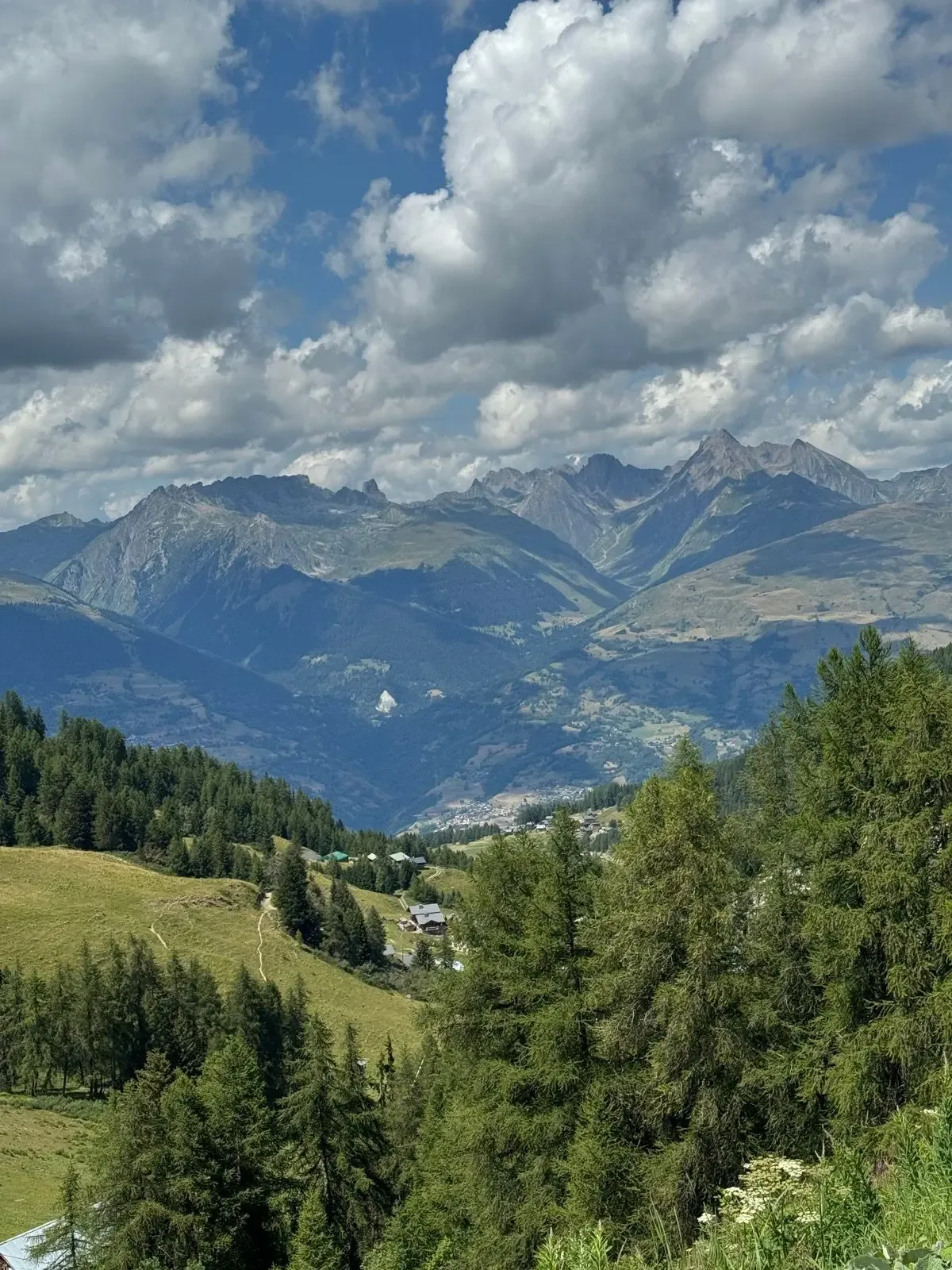
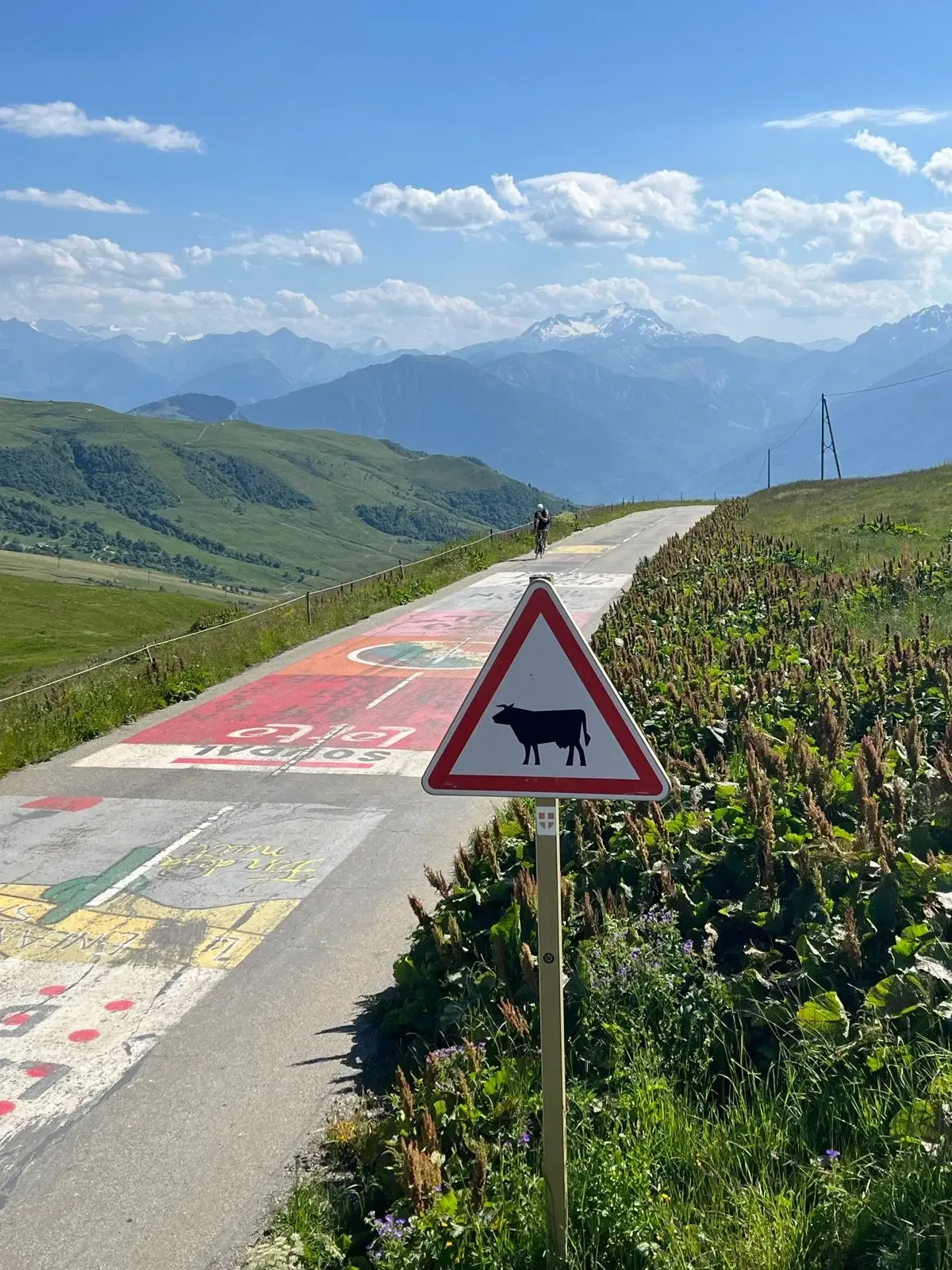
The last push into Plagne Centre opens out into alpine meadow and larch, wildflowers along the verge, and then the ski-station concrete of the resort itself. The hairpin at Plagne Aime 2000 is decorated with polka-dot and yellow jersey façades on the Salle Omnisports Pierre Leroux — absurd, joyful, very French. I stopped at the big yellow I ❤ LA PLAGNE cyclist sculpture for the obligatory photo, then wandered over to the brasserie for a Coke and a slice of tarte aux myrtilles while my legs stopped shaking.
The descent back to Aime is the reward. Same road, same hairpins, but now you're reading them instead of grinding through them — long sightlines in the forest sections, grippy asphalt the whole way, and a rhythm you can really lean into if the road is clear.

Kilometre by Kilometre
Flat, slightly downhill in fact, through Aime-la-Plagne past the Basilique Saint-Martin. The Isère runs below on the right and the N90 hums on the far side. Roll easy — this is all the warm-up you get.
The road tips and from the first kilometre the gradient is above 5%. Two kilometres up through Mâcot, where the D221 takes over. There's a fountain right at the roadside by the church, and a sandwich bar next to it.
This is where the long part starts. Spruce and beech close over the road, hairpin after hairpin, holding between 7 and 8.5%. The hardest kilometre of the whole climb is here, around km 4 to 5. Nothing to stop at until Les Villards.
Hamlets along the road, stone houses and old barns, cowbells in the background. The Tour came up this road on 25 July 2025 — the race took the D221 as far as Plagne Centre. The gradient doesn't ease, but the terrain starts to open.
The forest thins and the last hamlets fall behind. From here it's open ground and ski-station architecture. Still holding above 7%.
The first resort level at 1,800 metres. This is where there's finally somewhere to stop again — thirteen kilometres since Mâcot. On up to Plagne Centre at 1,970 metres, where the gradient eases slightly.
From Plagne Centre it's two kilometres up to Aime 2000 at 2,093 metres, the high point of the route. The Salle Omnisports Pierre Leroux carries the yellow and polka-dot jerseys painted on its façade, and the yellow I ❤ LA PLAGNE sculpture is where everyone takes the photo.
Twenty-one kilometres of descent on exactly the tarmac you climbed. Long sightlines through the forest sections, good grip, flowing hairpins. Carry a windproof — it's 1,400 metres down to the valley.
Gallery
Route map & elevation profile
Key Climbs
Highlights
- •The gradient is steady enough that you find your rhythm at km 1 and hold it to the top.
- •Five kilometres of hairpins through spruce and beech between Mâcot and Les Villards.
- •The Tour de France came up this exact road on 25 July 2025, as far as Plagne Centre.
- •The three resort levels — Plagne 1800, Plagne Centre at 1,970 and Aime 2000 at 2,093 — break the climb into thirds.
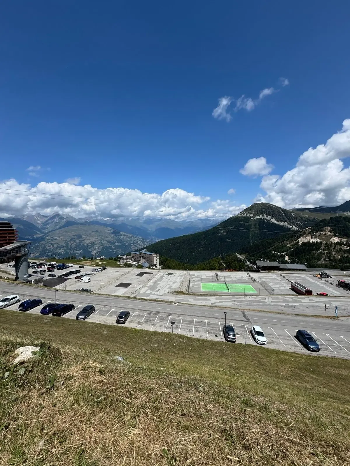
- •From Aime 2000 the view opens to Mont Pourri, the Beaufortain and the edge of the Vanoise.
Must know
- ⚠⚠️ Thirteen kilometres with nothing between km 3 and km 16. No shop, no café, no bakery on the whole stretch — a thousand metres of climbing with nowhere to stop.
- ⚠⚠️ Fill your bottles in Aime before you start. The last water is the fountain by the church in Mâcot at km 3.
- ⚠⚠️ Nineteen kilometres steady above 7% — bring a gear you can stay seated in. A 34/32 works for most riders; 34/34 gives you room.
- ⚠⚠️ Afternoon thunderstorms are normal in the Tarentaise in summer, and the top kilometres are exposed. Start early.
- ⚠⚠️ Expect resort traffic in July and August, especially on the final kilometres.
- ⚠⚠️ The descent is 21 kilometres on exactly the same road. Carry a windproof — you drop 1,400 metres.
Café & Water
- km 22.8Le P'tit Bobar
Bar and café in Plagne Centre, forty metres off the road. You pass it on the way up, but it works better on the way down — two kilometres below the top, the climbing done, the rest of the descent still to come. Open every day year-round from eight to nine, which is unusual at a ski resort.
Frequently asked questions
- Why do sources give different lengths and heights for La Plagne?
- Because there are several valid finish points. The resort is eleven units spread across four communes, and different sources stop in different places: Plagne Villages at 2,052 metres, Belle Plagne at 2,080, Aime 2000 at 2,093. That's why the figures range from 17.4 to 21.4 kilometres and 1,355 to 1,489 metres of climbing. This route goes to Aime 2000 and back: 20.8 kilometres up, 41.8 in total.
- Did the Tour stage finish where this route finishes?
- No. The stage on 25 July 2025 took the same D221 from Aime up to Plagne Centre, then turned off toward Plagne Villages, where the line was at 2,052 metres. This route instead carries on the last 2.4 kilometres up to Aime 2000 at 2,093 metres. From the bottom to Plagne Centre you're riding the stage route.
- Does the route go up and down the same way?
- Yes. This is an out-and-back from Aime: 20.8 kilometres up the D221 and the same road back. The only part you don't ride twice is the short loop around the resort area at the top.
- Is there water on the climb?
- One reliable source: the fountain by the church in Mâcot at km 3. From there it's thirteen kilometres to Plagne 1800, where the first cafés and shops are. Fill your bottles in Aime before you start.
- When is the road open?
- Normally mid-March to the end of October. It can close in heavy snow, so check the status if you're going early or late in the season.
- Is this the same climb as "Plagne-Villages" on climbfinder?
- Same road from the bottom, different finish. Climbfinder lists several separate ascents to La Plagne, among them Plagne-Villages and Aime 2000. This route follows the D221 to Aime 2000, the highest of the three.
Know a better line?
Submit your local route and get featured with your own author profile, Strava, Instagram and Buy Me a Coffee link.
Share a Route → →Similar routes
Côte d'Héry-sur-Ugine & Col des Saisies
Same Tarentaise region — Saisies climb from Ugine instead of La Plagne
Col de la Madeleine
Adjacent Maurienne — Madeleine south face HC climb
Col du Galibier & Col du Télégraphe
French-Alps queen stage — step up from Plagne to Galibier