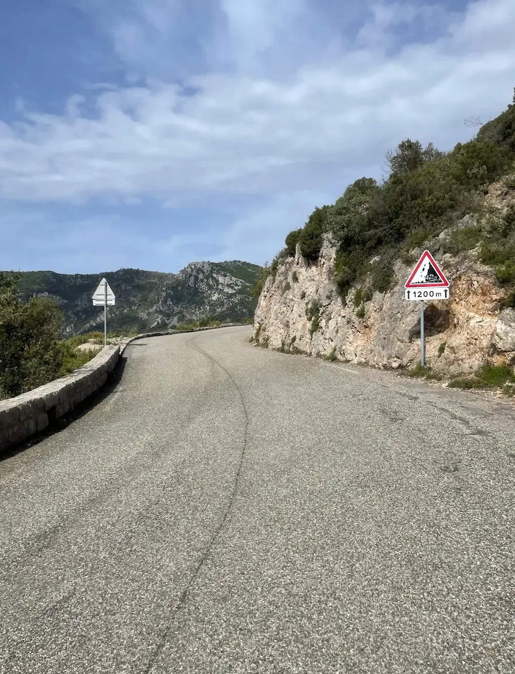
Col de la Madone Classic
About this Route
← French Riviera Cycling GuideLance Armstrong used this climb as his personal benchmark for the Tour de France, and it remains a favourite for today's pros—Tadej Pogačar set a much-talked-about time here in 2023. Trek even named a bike after it. The Madone is 13 km of sustained climbing above Menton, passing through Sainte-Agnès—one of France's most beautiful villages—with Mediterranean views all the way. A return route through Monaco rounds out one of cycling's most glamorous days.
Col de la Madone is the climb that Lance Armstrong used as his personal benchmark for Tour de France readiness. Trek named a bike after it. The day I rode this, I understood why -- it is 13 km of relentless, spectacular climbing above Menton that demands everything you have.
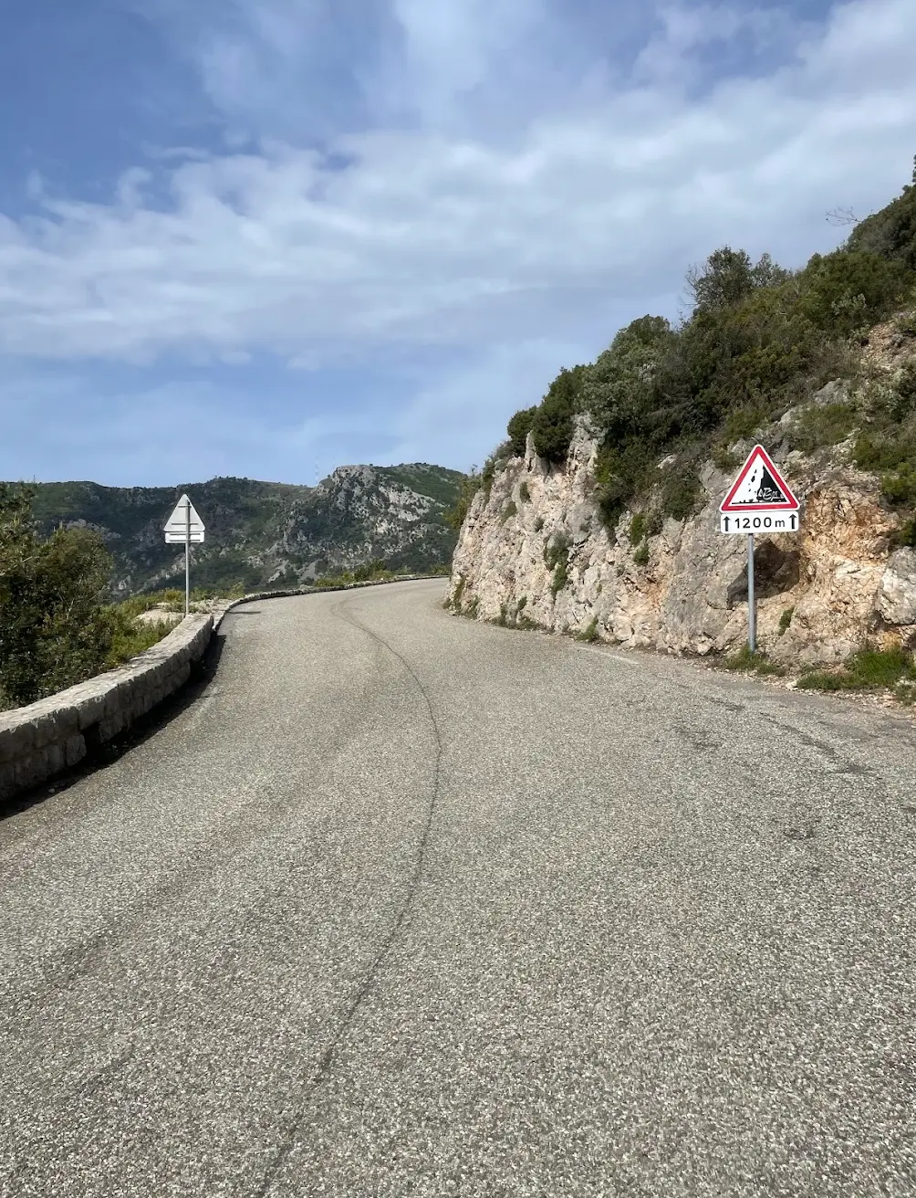
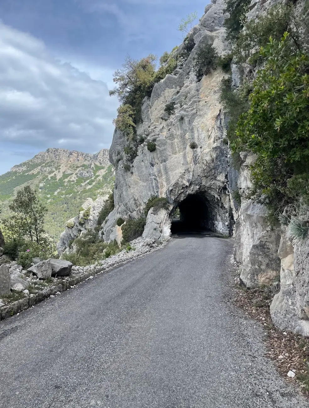
The climb begins almost from the centre of Menton -- within a kilometre or two the road is already tilting upward. The first 3 km sit at around 4%, which feels manageable, but then the gradient ramps to 6-8% and stays there. You pass through Saint-Agnes, one of the most beautiful villages in France and Europe's highest coastal village, with views of the Mediterranean far below. The road narrows as you gain height -- the final 5 km is single-lane in places, winding through steep limestone terrain. When I reached the summit at 925 metres I was spent, but the panorama back over the coast made the suffering worthwhile.
The descent through Peille is technical -- tight switchbacks through a medieval perched village clinging to the mountainside. After Peille the route drops into the valley before climbing again over the Cote de Chateauneuf-Villevieille -- a shorter but sharp effort that comes at exactly the wrong moment in the day.
From there the road descends all the way to Nice and the coast. The return follows the famous Corniche roads above the Mediterranean, through Monaco and along the coast back to Menton. Riding through Monaco on a road bike after a day like this felt surreal -- the yachts, the casino, the hairpin from the Grand Prix circuit, all in the last 20 km of an unforgettable ride.
Kilometre by Kilometre
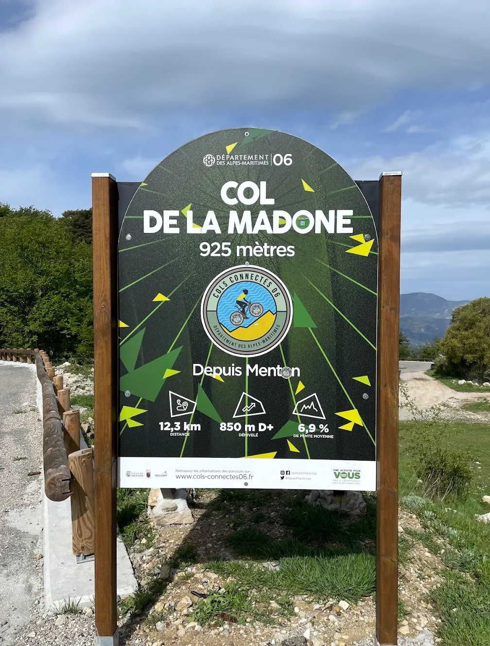
From Menton the climb begins almost immediately. The first 6 km pass through Sainte-Agnes at around 4%, then the gradient ramps to 6-8% and stays there. The road narrows as you gain height through steep limestone terrain. The summit at 925 m arrives at km 15 — the highest point of the day.
A technical descent with tight switchbacks drops through the medieval perched village of Peille. After Peille the road continues down into the valley, losing most of the altitude gained on the climb.
After a brief valley section, the road climbs again over the Cote de Chateauneuf-Villevieille — 6.85 km at 6.3%. A sharp effort that reaches nearly 590 m before a long descent toward the coast.
A long descent drops you all the way to Nice. The route joins the coast road and heads east through Villefranche-sur-Mer and Beaulieu-sur-Mer, passing through the heart of the Riviera at sea level.
Follow the famous Corniche roads above the Mediterranean. Pass through Eze and Cap-d'Ail before dropping into Monaco — the yachts, the casino, the Grand Prix hairpin. The final 12 km along the coast through Roquebrune-Cap-Martin return you to Menton.
Gallery
On the Road
Route map & elevation profile
Key Climbs
Watch the Full Climb
Highlights
- •The pro benchmark: This is cycling's most famous form-test. Lance Armstrong timed himself here before every Tour, and Tadej Pogačar took a much-publicised KOM here in 2023. Riding it puts you on the same tarmac they treat as a true test of fitness.
- •Sea-view climbing: The entire ascent faces the coast. Menton and the Mediterranean stay over your shoulder for nearly all 875 m of climbing.
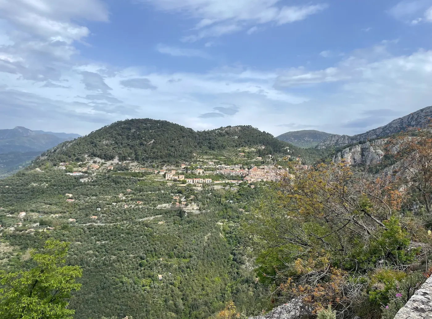
- •Sainte-Agnès: Five kilometres up sits Sainte-Agnès, a village crowned by a 1932 Maginot-Line fort—the highest coastal fortification in Europe.
- •The upper stretch: Past Sainte-Agnès, the road narrows to a single lane and the coast drops away. The last stretch to the summit is a quiet, craggy world of its own.
- •Iconic status: The Madone stands alongside Rocacorba and Sa Calobra as one of the planet's iconic pro tests—and unlike either, it has never been raced.
Must know
- ⚠The climb faces south in full sun the entire way—carry more water than the distance suggests, especially June–August.
- ⚠The surface deteriorates past Sainte-Agnès; expect rougher tarmac and loose edges through the top third.
- ⚠Above Sainte-Agnès, the road is barely one lane wide with blind bends—leave room for oncoming cars on both the climb and the descent.
- ⚠There's no single start line; sea-level Menton and the Les Castagnins roundabout on the D22 are both used. The pros start their watches at Les Castagnins.
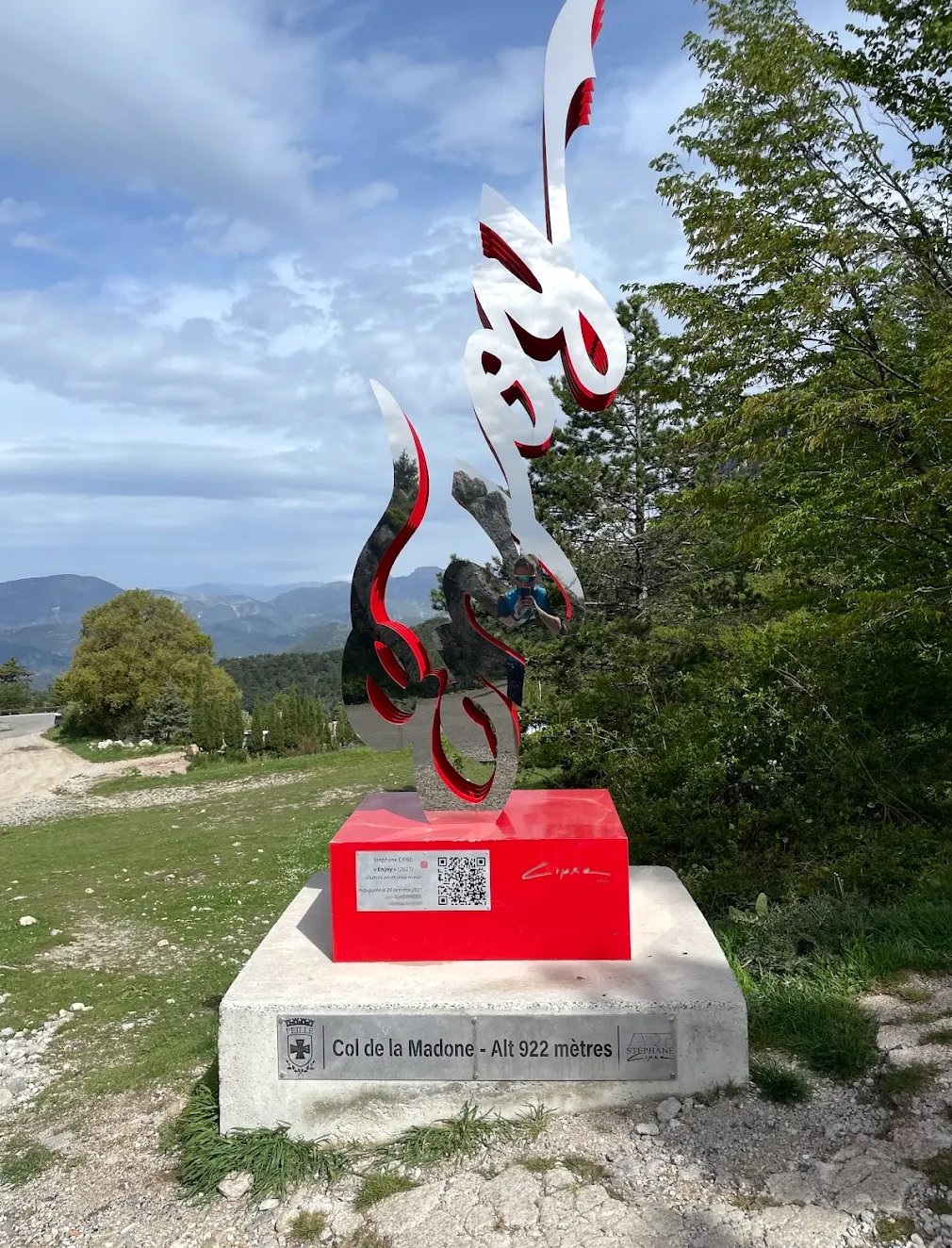
- ⚠Don't expect a summit sign—it was stolen years ago. The marker is a small war memorial built from artillery shells.
- ⚠The far side drops in shade toward Peille and stays cold and technical—tarmac that baked on the way up is chilly and damp coming down.
Café & Water
- km 9Le Saint Yves, Sainte-Agnès
The perched-village stop, five km into the climb. Coffee, sandwiches, and a view straight back down to the coast. Closed Fridays.
- km 49L'ESSENTIEL, Châteauneuf-Villevieille
Épicerie and kitchen on Place de la Madone at the foot of the Châteauneuf climb—your refuel point on the western loop. Closed Mondays.
- km 99Vanilla Bakery, Menton
The café to aim for as you roll back into Menton. Coffee and pastries on the Promenade to round off the loop.
Frequently asked questions
- How hard is the Col de la Madone?
- The climb is 13.1 km at 6.7% average, rated HC—around an hour for most riders. The full loop is 99 km with 2,127 m of climbing, a genuinely hard day out.
- Where does it start?
- No official line. Most time it from the Les Castagnins roundabout on the D22, where the pros start; purists begin at the Menton seafront, about 14.5 km from the top.
- Why is it famous?
- Lance Armstrong timed himself here before each Tour, and Trek named their bike after it. It has never featured in the Tour de France; the road is simply too narrow.
- How does the Madone compare to Rocacorba and Sa Calobra?
- All three are classic pro test climbs. The Madone is the sun-baked sea-view climb; Rocacorba is steeper and more wooded; Sa Calobra is the theatrical dead-end.
- When is the best time to ride?
- Spring and autumn are ideal. Midsummer middays are punishing, and the shaded far-side descent stays cold, so pack a layer year-round.
- Where can I eat?
- Stock up in Menton at the base, at Sainte-Agnès five km up, and at Châteauneuf-Villevieille on the western loop. Villages are sparse between—carry enough.
Know a better line?
Submit your local route and get featured with your own author profile, Strava, Instagram and Buy Me a Coffee link.
Share a Route → →Similar routes
Menton Cols Loop
Extends Madone into a longer multi-col Menton day
Col de Turini & Col de Braus
Same Menton mountains — full Turini-Braus epic instead of benchmark climb
Girona - Rocacorba
Other pro-cyclist benchmark climb — Pogačar and Van Vleuten's Girona test
Sa Calobra from Pollença
Same league of iconic pro test climbs — Sa Calobra's theatrical dead-end sits alongside the Madone in cycling folklore