Col de Vence & Gourdon — Classic Loop from Cagnes
About this Route
← French Riviera Cycling GuideAn 82 km loop from the Riviera coast into the Alpes-Maritimes behind Nice, built around Col de Vence — the climb from the Vence side, a steady 9.6 km at 6.7% with the steepest, most exposed stretch near the top. You leave Cagnes-sur-Mer at sea level, climb through the medieval town of Vence, and top out at 963 m, the highest point of the day. From there the road rolls high across to Gourdon, a village pinned to a clifftop with the whole coast laid out below, before a fast 28 km descent drops you back to the Mediterranean. It's the shorter, sharper alternative to the 109 km Col de Vence loop: the same summit from the harder direction, and home before lunch.
You start at sea level in Cagnes-sur-Mer, between Nice and Antibes. The first stretch is a warm-up: a gentle, steady drag away from the coast, out through the suburbs and into quieter country behind the Riviera. The traffic thins as you gain height, and you climb almost without noticing it — until you roll into Vence at around 300 m. Fill your bottles and take a last coffee here. The work starts now.
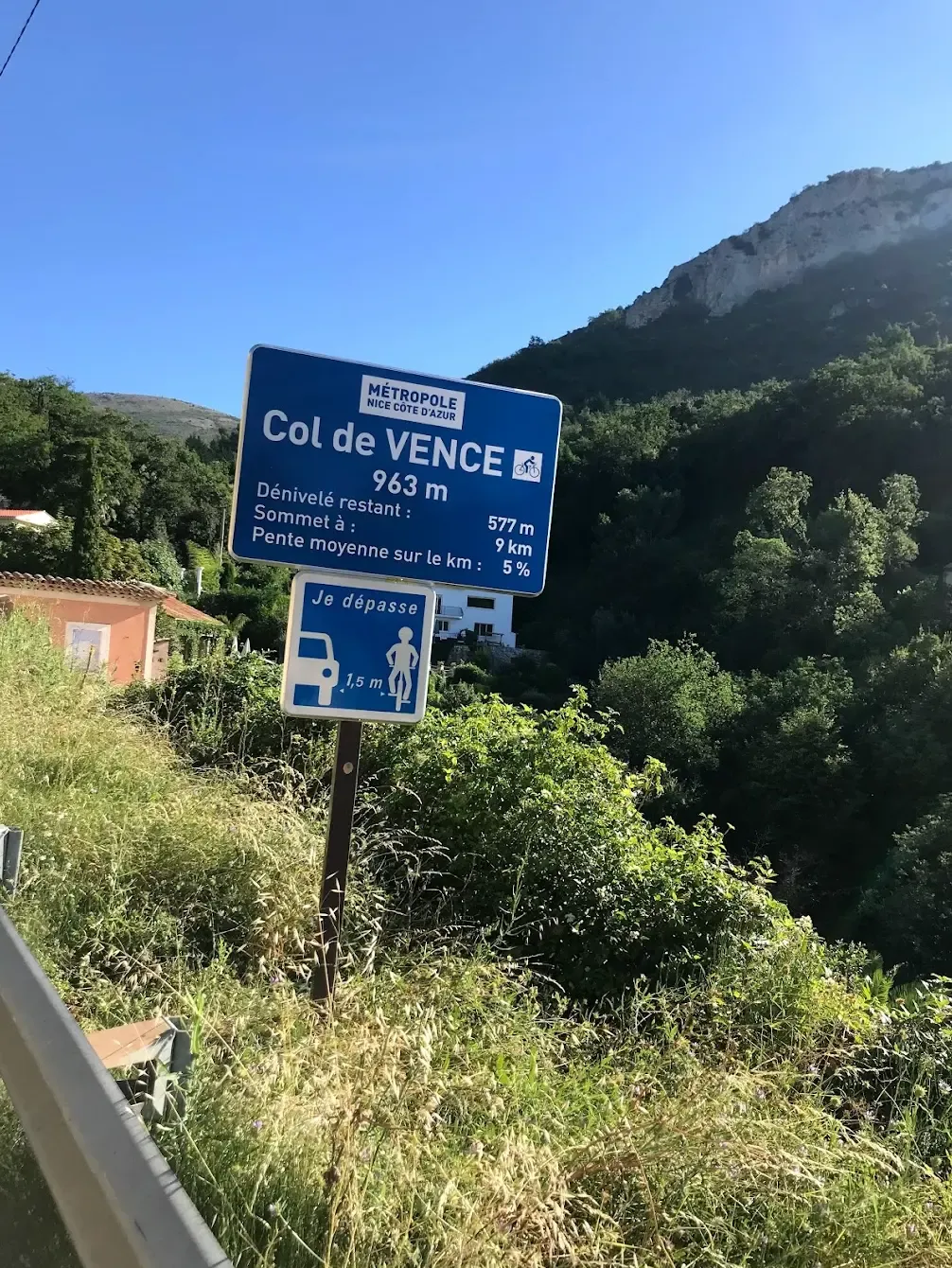
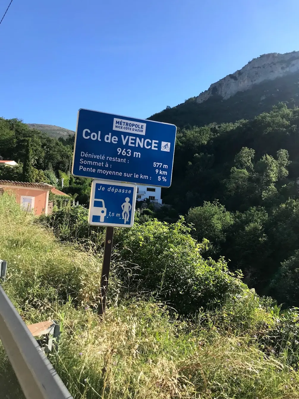
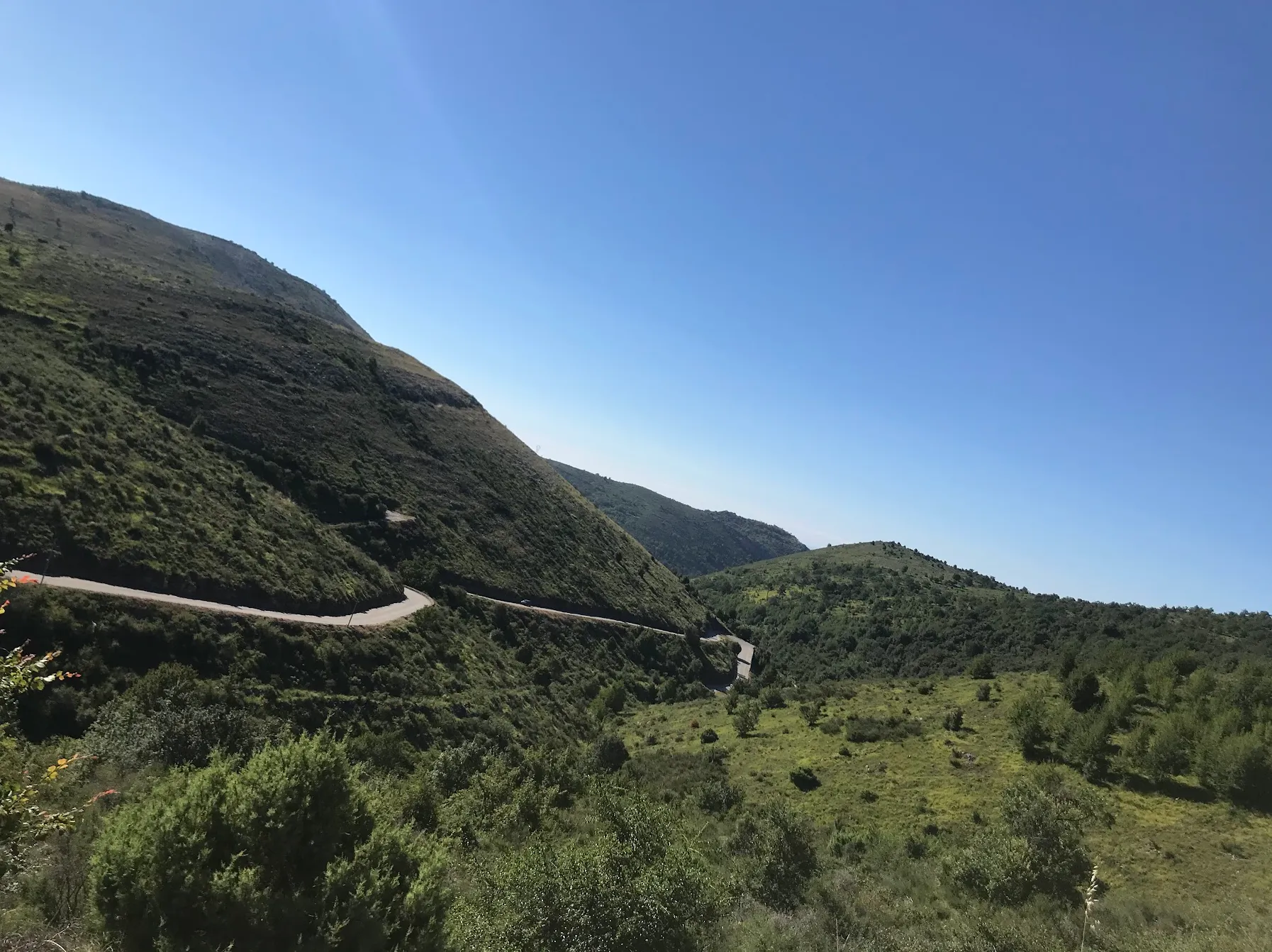
Out of Vence the road finds its rhythm immediately: 9.6 km at a steady 6.7%. The gradient never lets up enough to recover, but never quite forces you off the pace either. You climb through olive terraces and low pine, then the trees thin and the surface opens onto bare limestone for the final ramps — steep and shadeless to the 963 m col. On a warm day this is where the Vence side earns its Paris-Nice pedigree: no shade, and nowhere to bail once you've started. There's no slack section to sit up and roll, so hold something back from the bottom.
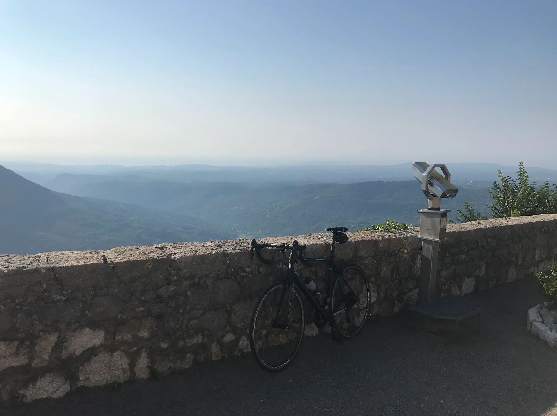
Over the top the effort changes character. You stay high across open country, and then Gourdon arrives the way clifftop villages do — suddenly, and higher than everything around it. Get off the bike here. Gourdon is one of the officially listed Plus Beaux Villages de France, a knot of stone houses on the edge of a drop. Take the terrace at the Auberge de Gourdon with a coffee and a croissant — from here the whole Riviera opens beneath you, the coast running from Antibes out to the open Mediterranean. It's the view you came for.
From Gourdon it's essentially downhill to the sea: roughly 28 km of near-continuous descent, steepest in the few kilometres down to Châteauneuf-Grasse where the road drops at around 6%. It's fast and sweeping rather than technical — hands off the brakes, let the corners come. The gradient eases toward Villeneuve-Loubet, and the last kilometres into Cagnes-sur-Mer are flat run-in, legs empty, the sea back on your right.
What the numbers don't tell you: 1,476 m over 82 km reads as moderate, but it's nearly all stacked into one climb. Hold something back on the lower slopes of Col de Vence and save it for the top — that's where the day is won or lost. Carry enough water out of Vence; there's nothing on the col.
Kilometre by Kilometre
Leave the coast and climb steadily into the hinterland — a gentle warm-up before the real work. Vence, at around 300 m, is the first major stop: a well-preserved medieval town with a lively old quarter, and the last proper refuel before the col.
The main climb starts out of Vence: Col de Vence (par Vence), 9.6 km at 6.7% to the 963 m summit, the highest point of the route, with the upper ramps the most demanding. Over the top the road stays high and rolls across open country, dropping and rising again to Gourdon, a village perched on a clifftop with extraordinary views over the whole Riviera.
From Gourdon it's a long, near-continuous descent back to the coast — steepest down to Châteauneuf-Grasse, then fast and sweeping through the hills of the Alpes-Maritimes before the Mediterranean comes back into view and the route finishes at Cagnes-sur-Mer.
Gallery
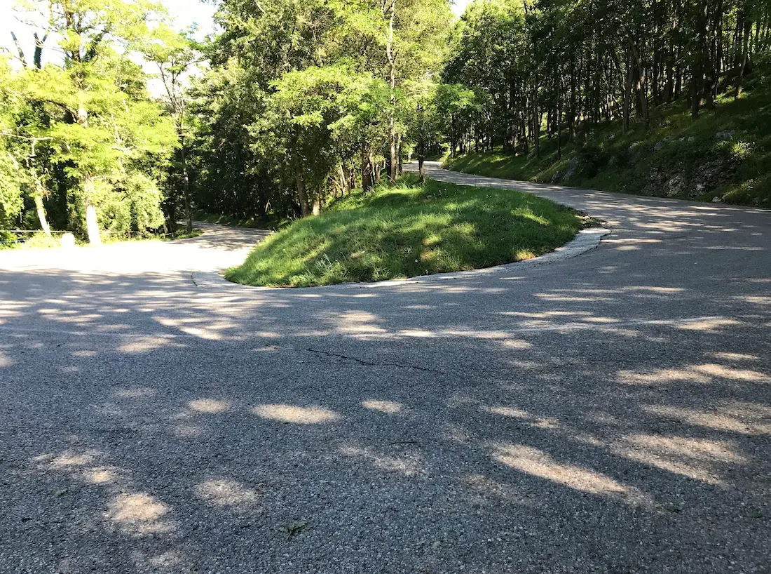
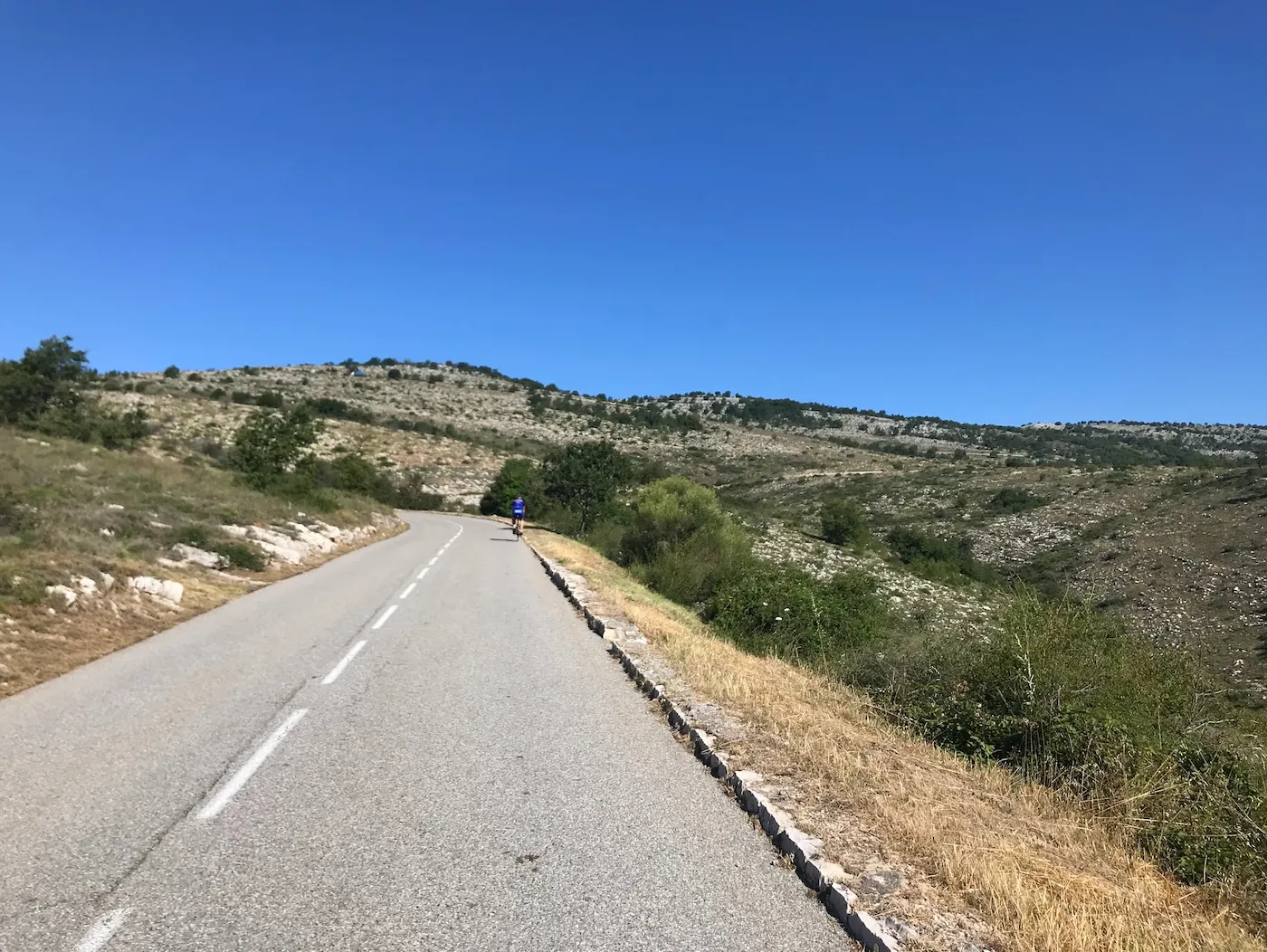
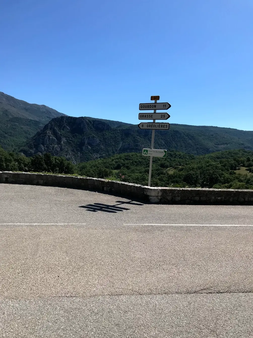
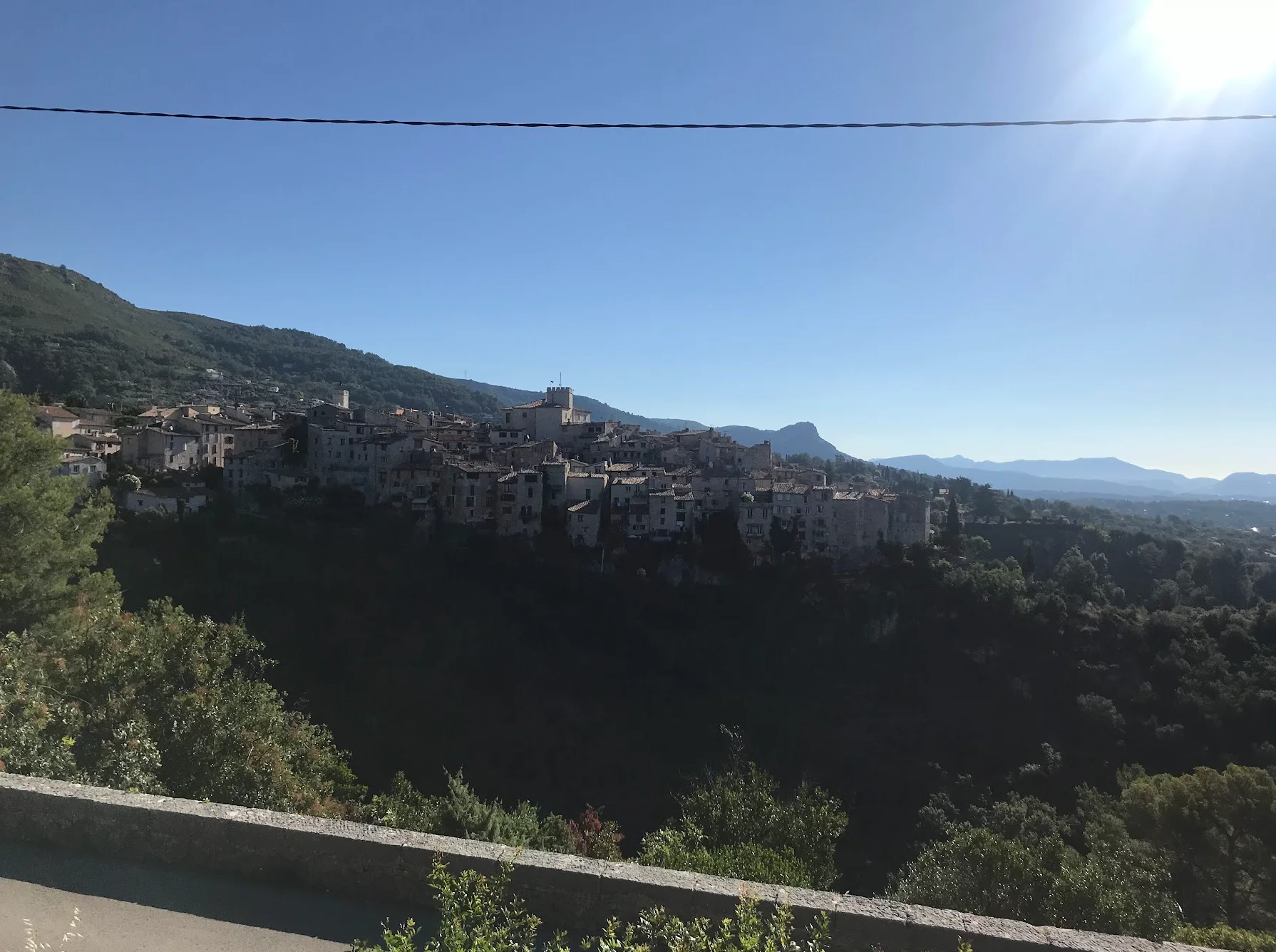
Route map & elevation profile
Key Climbs
Col de Vence (par Vence)
Cat 2Bramafan / Gourdon
Cat 3Highlights
- •Col de Vence from the Vence side — the classic hard direction, a steady 9.6 km at 6.7% topping out at 963 m, with Paris-Nice pedigree
- •Gourdon, a Plus Beaux Villages de France pinned to a clifftop, the Riviera coast spread out below
- •A true half-day: the same summit as the 109 km loop, but home before lunch at 82 km
- •Baïeta in Vence for the last real coffee before the climb; a terrace stop at Gourdon at the top
- •~28 km of fast, sweeping descent from Gourdon back to the coast via Châteauneuf-Grasse
Must know
- ⚠Col de Vence is shadeless and exposed near the top — start early in summer, before the south-facing slopes bake
- ⚠No water or services on the col — fill up in Vence; Gourdon is the next reliable stop
- ⚠The climb averages a modest gradient, but the final ramps are the steep part — don't empty the tank on the lower slopes
- ⚠The 28 km descent is fast and open — watch for gravel and traffic around Châteauneuf-Grasse
- ⚠Best April–June and September–October; summer is rideable but hot and exposed on the climb
- ⚠Baïeta is closed Sunday and Monday — the Boulangerie du Peyra on Place du Peyra opens early daily and accepts card as a fallback
Café & Water
- km 14Baïeta Café
Last proper coffee and pastries before Col de Vence.
- km 54Auberge de Gourdon
Coffee and croissants at the high point, coast below.
Frequently asked questions
- How hard is the Col de Vence climb from Vence?
- It's 9.6 km at a steady 6.7% — the "Col de Vence (par Vence)" Strava segment, KOM 23:55. The gradient is relentless rather than spiky: no real recovery, and the final ramps to 963 m are the exposed part. Pace it from the bottom.
- Should I ride the 82 km or the 109 km Col de Vence loop?
- The 82 km loop climbs the col from the Vence (south) side and is a half-day. The 109 km version takes it from the north after Gourdon and adds Coursegoules — a full day. Take the shorter one for the summit without the whole day.
- Where should I start?
- Cagnes-sur-Mer, on the coast between Nice and Antibes. You're climbing within a few kilometres of the seafront, with parking, cafés, and a beach for afterwards.
- When is the best time to ride it?
- April–June and September–October, for cooler air and lighter traffic. Summer works if you start by 08:00 — Col de Vence is south-facing and shadeless near the top.
- Is there water and food on the route?
- Fill up in Vence before the climb; there's nothing on the col. Gourdon has cafés and a village tap. The descent has little until Châteauneuf-Grasse.
- Does the route go through the Gorges du Loup?
- No — the Gorges du Loup lies north of Gourdon. This loop climbs from Vence and descends south-east via Châteauneuf-Grasse. To ride the gorge, you would need the longer northern approach.
Know a better line?
Submit your local route and get featured with your own author profile, Strava, Instagram and Buy Me a Coffee link.
Share a Route → →Similar routes
Col de Vence & Gourdon — Long Loop from Cagnes
The same climbs in the opposite order — 109 km long loop
Menton Cols Loop
Same Riviera region from Menton — verified flagship multi-col loop
Col de Turini & Col de Braus
Same Maritime Alps region — longer epic to the north
Milano–San Remo Cycling Route — Cipressa & Poggio
Coastal Italian-Riviera classic from same broader region