Calpe — Port de Tudons & Puerto de Confrides
About this Route
← Costa Blanca Cycling GuideThe queen stage of the Costa Blanca. From Calpe, the route rolls southwest along the coast before turning inland for Port de Tudons — 15.2km at 5.3%, Category 1, climbing from the Mediterranean to 1,025 metres through wild, empty mountain terrain. Puerto de Confrides follows from the south before the long, flowing descent through Guadalest valley returns you to the coast. 118 kilometres, 2,168 metres of climbing — one of the most demanding days you can ride from Calpe.
We rode this in March 2026 — and it earned its reputation as the queen stage of the Costa Blanca.
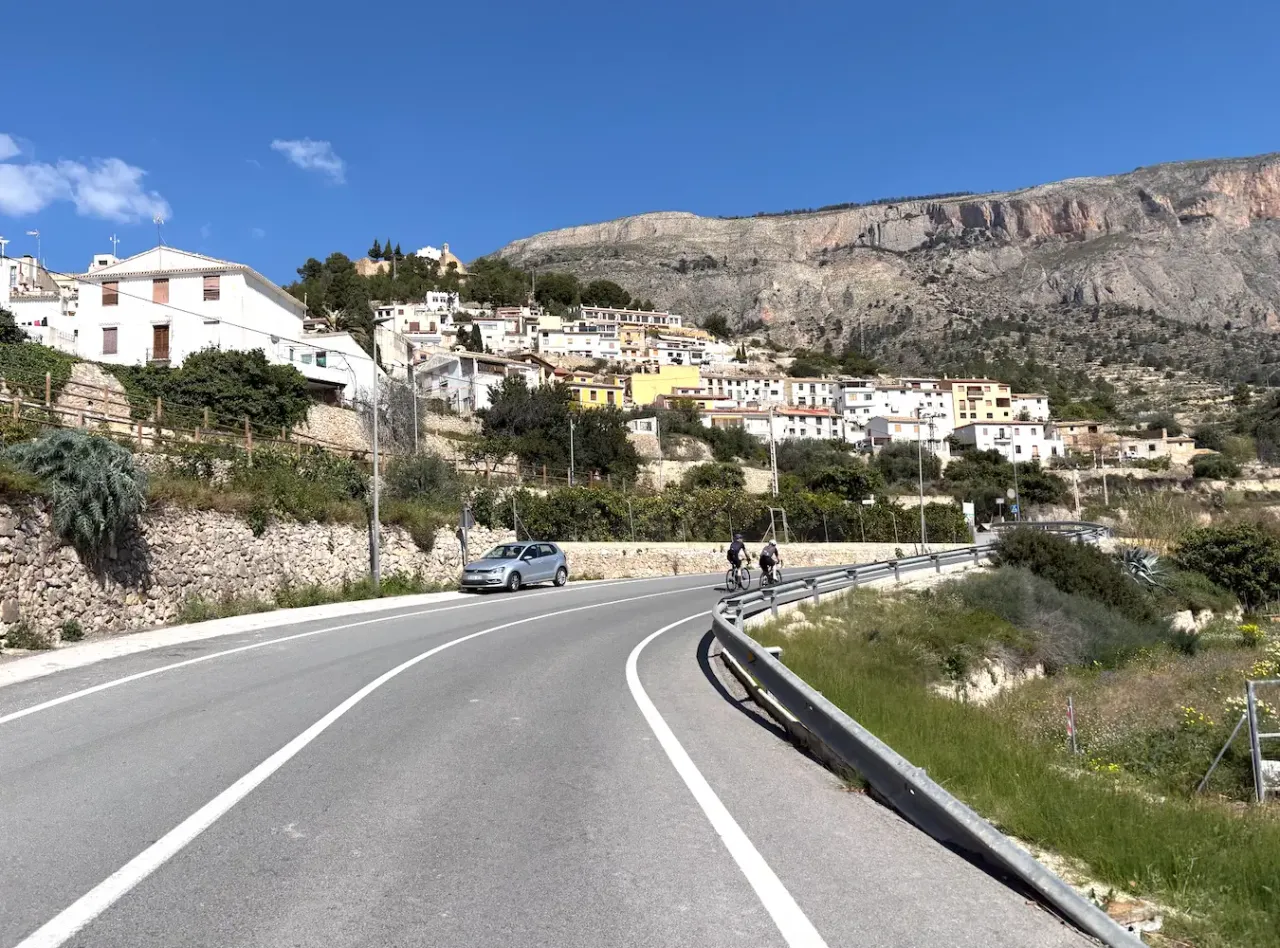
The first 35 kilometres roll pleasantly southwest from Calpe through Altea and into the foothills. We stopped in Finestrat at Bar El Cantonet for coffee and a snack before the real climbing began. A good call — Port de Tudons demands respect from the first kilometre.
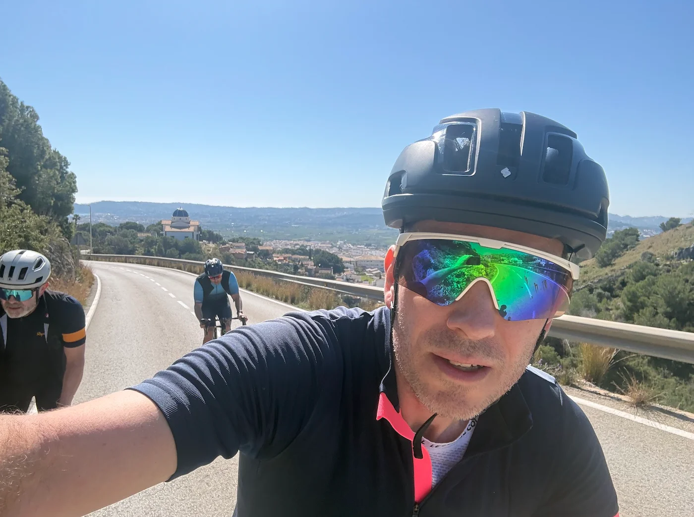
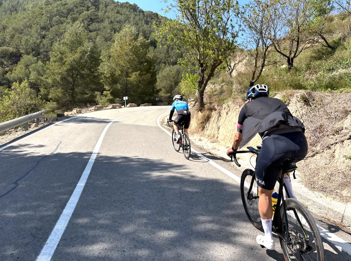
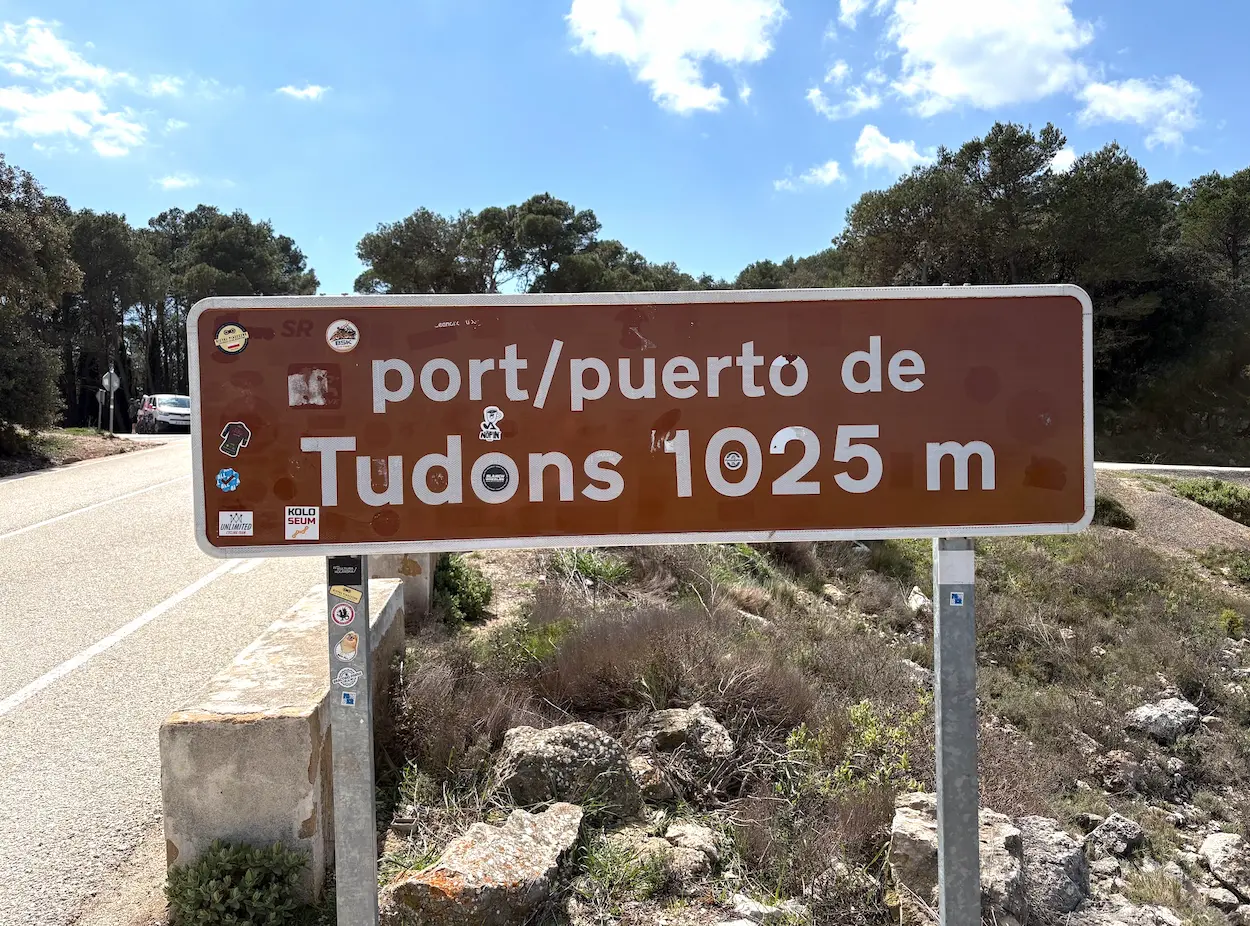
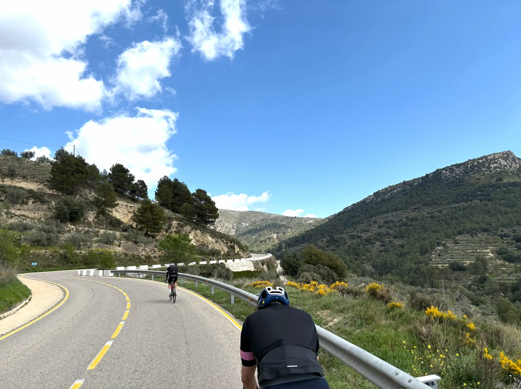
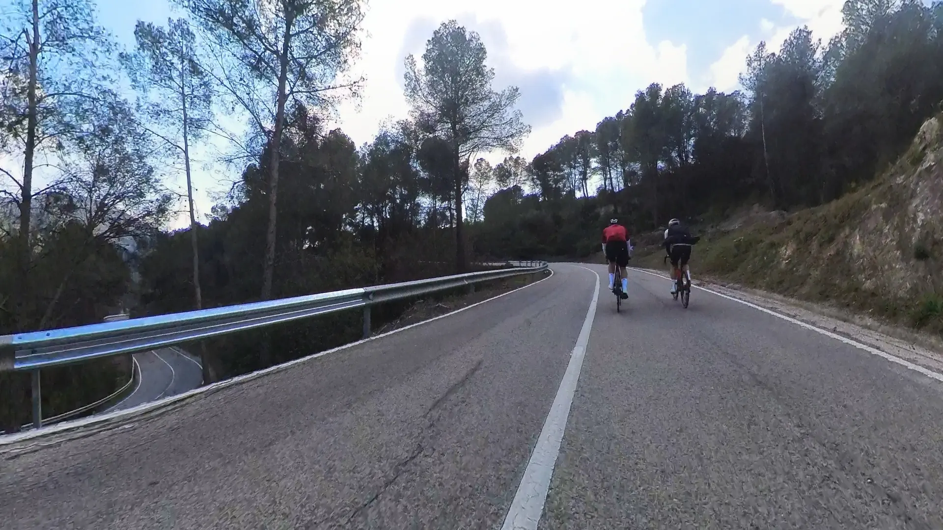
The climb itself is 15.2 kilometres, and it plays out in two very different acts. The first 11 kilometres are steady and manageable — a long, rhythmic effort through small villages and open hillsides with views opening up as you gain height. There were a lot of cyclists on the road that day, which made the pacing easier. The final 4 kilometres are a different story: the gradient ramps up, the landscape becomes wilder, the trees close in, and the silence takes over. By the time the summit at 1,025 metres arrives, you have earned it.
The descent from Tudons and the ride across the high plateau toward Benasau is one of the quiet highlights of the route. We stopped at Nou Serrella in Benasau — a good place to eat before Puerto de Confrides. Short but punchy after Tudons: 5.44km with the final 1.5km the steepest at around 7%.
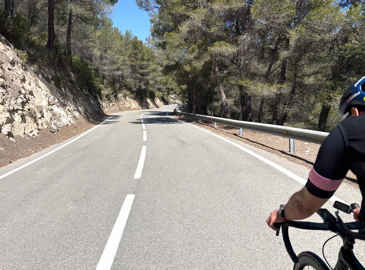
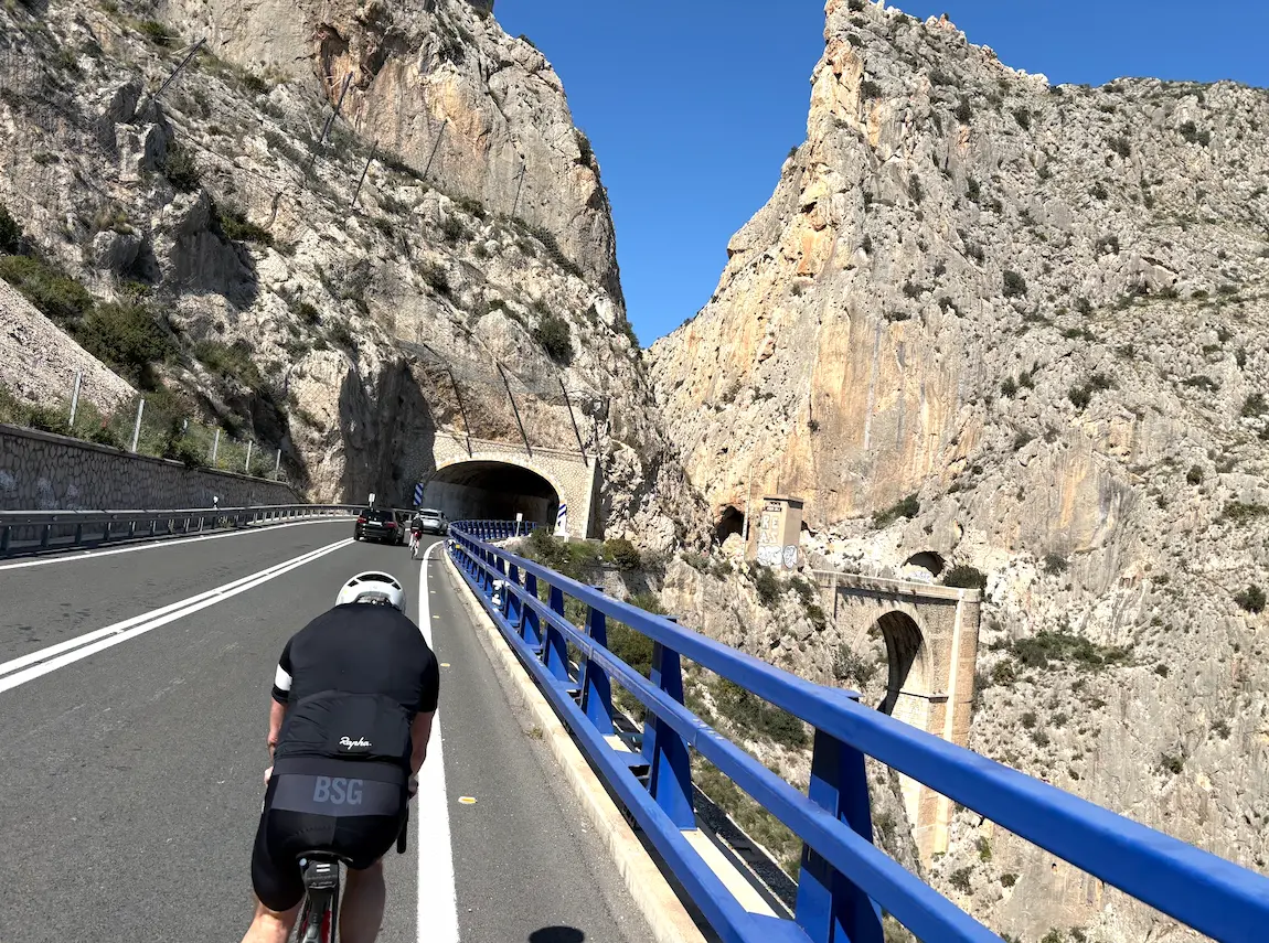
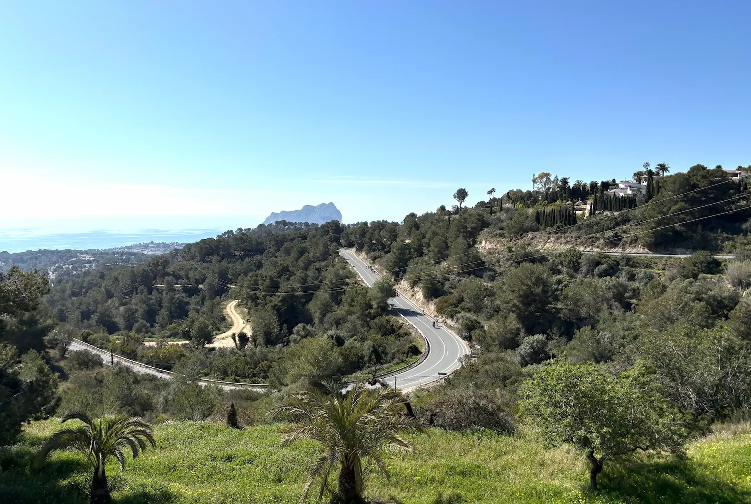
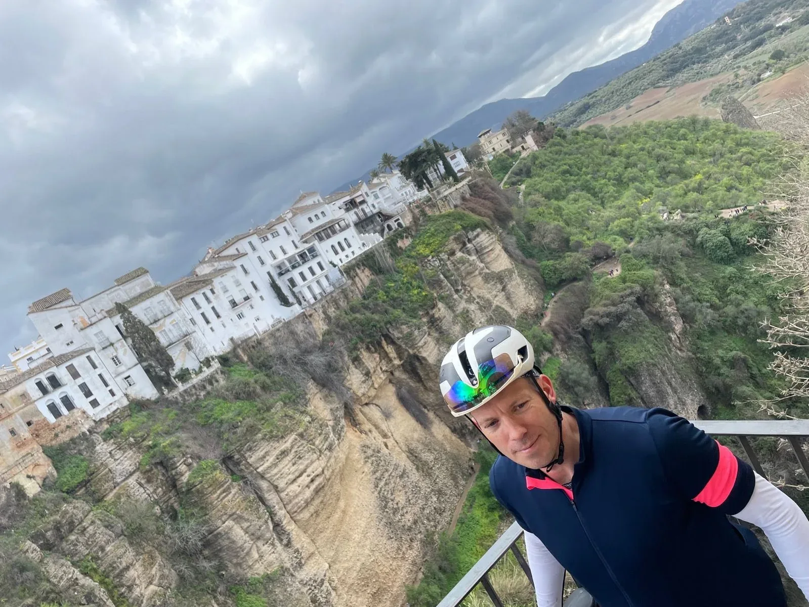
The descent from Confrides is the reward the whole day has been building toward. Good asphalt, flowing bends, the turquoise Guadalest reservoir appearing far below. We passed through Guadalest without stopping that day — we had already visited on another ride — but the village clinging to its limestone crag above the water is extraordinary from the road.
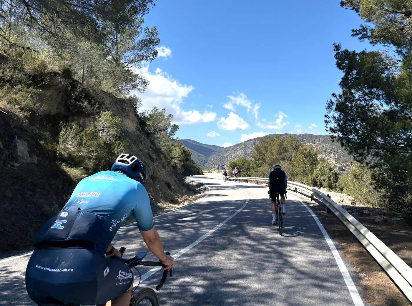
Nearly 25 kilometres of descent and rolling roads carry you back to the coast and home to Calpe. One of the finest days you can have on a bike in Spain.
Kilometre by Kilometre
Southwest from Calpe through Altea and inland toward Finestrat. Pleasant warm-up on smooth coastal roads with the mountains growing steadily larger ahead. Stop at Bar El Cantonet in Finestrat — perfectly timed before the serious climbing begins.
15.2km at 5.3% average, Category 1. The landscape shifts from coastal foothills to wild, remote mountain terrain. The upper slopes exceed 10% near the summit at 1,025 metres, with views across Sierra Aitana — the highest peak in the province. This climb demands respect from the first kilometre. Pace yourself or the second climb will be very hard.
The descent from Tudons drops toward the inland plateau. Rolling roads through Penaguila and Benasau — a quieter, more remote side of the Costa Blanca interior. Stop at Nou Serrella in Benasau before Puerto de Confrides.
5.44km at 4.8%, Category 3. The final 1.5km are the steepest at around 7%. Shorter than Tudons but punchy after the accumulated fatigue. The summit marks the transition back toward the coast.
Nearly 25 kilometres of descent and rolling roads through the Guadalest valley. The turquoise reservoir and the iconic cliff-top village of Guadalest come into view as the road drops. Fast, flowing and spectacular — the finest part of the return. Coastal roads carry you the final kilometres back to Calpe.
Gallery

Route map & elevation profile
Key Climbs
Puerto de Confrides (South)
Cat 3Highlights
- •The queen stage of the Costa Blanca — We rank it side-by-side with the Cumbre del Sol loop as the two hardest single days from Calpe. The difference is what costs the most: Cumbre is explosive power, this one is volume.
- •Port de Tudons from the classic side — 15.21 km long with an average gradient of 5.3%. Up from Sella on the CV-770 — the longest and most popular ascent, used by the pros for winter training.
- •Puerto de Confrides after Tudons — 5.44 km at 4.8% average, from the south. Shorter than Tudons, but it comes after 70 km in your legs. That's when you feel the volume.
- •Long descent through the Guadalest valley — 47 km home after the Confrides summit, mostly downhill along the CV-70 to the coast. Time to refill the bottles and recover before the return to Calpe.
- •Quiet mountains, perfect tarmac — Inside the Sierra de Aitana there's little traffic and the surface holds throughout. On clear days you see the Mediterranean from the Tudons summit at 1,027 metres.
Must know
- ⚠Pace yourself from the start — The first 35 km along the coast are rolling and easy. Use this section to warm up and prepare for the long climb ahead.
- ⚠A 34×32 or 36×32 setup — Gives you more cogs to play with as you approach the end — not because the gradient demands it, but because by then you have 80 km in your legs.
- ⚠The Aitana turnoff is closed — When you reach the Tudons summit you'll see a turning to the right with a sign toward the military base. It's normally closed to civilians. Don't ride up — the Vuelta stages use it when it opens for races.
- ⚠Confrides is Cat 3 on paper, but comes after 65 km and Tudons — It's not technically demanding — 5.4 km at 4.8%. With Tudons and 65 km in your legs it feels steeper than it is. The last 1.5 km is where you actually feel it.
- ⚠Water between Cantonet and Nou Serrella is scarce — The Finestrat → Sella → Tudons summit → Benasau section is around 35 km with no stops. Fill up in Finestrat before you start on Tudons.
- ⚠The season window is October to May — The Tudons road has traditionally been closed for parts of December to February in cold years, but it varies year to year. Check locally before planning the ride in mid-winter.
Café & Water
- km 30Bar El Cantonet
Last village stop before you start on Tudons. Espresso and bocadillo, refill the bottles. Locally run, perfectly timed before the first 8 km in toward Sella, where the CV-770 and the climb itself begin. After this it's 15 km with no café on the way up.
- km 65Nou Serrella
Right after you come down from the Tudons summit and before you head up Confrides. A proper meal if you need it, not just coffee — Confrides is Cat 3 but comes with 65 km in your legs.
Frequently asked questions
- Which side do I climb Tudons from?
- The classic side from Sella, heading north on the CV-770. 15.21 km with an average of 5.3% — the longest and most popular ascent. The Penàguila side (from the south, 6.7 km) and the Finestrat side also exist, but are little used. Our route always comes up from Sella.
- Which side do I climb Confrides from?
- From the south, the same direction as Tudons. 5.44 km at 4.8%. From the west, via Benilloba, it's 9 km at 5% with the last 1.5 km over 7% — steeper and longer. From the north, via Callosa and Guadalest, it's gentler and longer (13.7 km at 3%). Our route uses the south side.
- Has the Vuelta a España been here?
- Yes, but not as a finish. Both Tudons and Confrides have featured in Vuelta stages multiple times — as transit climbs early in the stage, not as summit finishes. When the Vuelta finishes at the top, it's the Aitana military base directly above the Tudons pass (2001, 2004, 2016 when Quintana beat Froome, 2019). Roglič won the 2023 stage that ran over this terrain.
- What gearing do I need?
- A standard compact 50/34 up front and 11–32 or 11–34 at the back goes a long way. Neither climb demands ultra-low gearing on gradient alone, but 118 km and 2,168 metres of climbing add up as you near the end. Keep more cogs in reserve.
- Can I ride up to the Aitana military base?
- No, not as a civilian. The road continues up from the Tudons pass to the military installation, but is closed to regular traffic. It opens only when the Vuelta or other races use it as a summit finish.
Know a better line?
Submit your local route and get featured with your own author profile, Strava, Instagram and Buy Me a Coffee link.
Share a Route → →Similar routes
Calpe — Finestrat & Guadalest
Includes part of the Tudons-Confrides terrain in a shorter loop
Calpe — Guadalest & Vall d'Ebo
Same Calpe base — drops the queen-stage scope for a manageable day
Calpe — Coll de Rates
Recovery option after this queen stage
Marbella - Ronda - Marbella
Andalusian volume day — 151 km loop with sustained climbing into the Serranía de Ronda. Comparable distance and effort.
Route Details
- Country
- Spain
- Region
- Costa Blanca
Elite level. Extreme elevation, altitude and distance. Serious preparation required.