Oslo Cycling — Nesodden Loop
About this Route
← Oslo & Oslofjord Cycling GuideA classic Oslo loop taking you south along the old Mosseveien to Hvervenbukta, past Tusenfryd and Vinterbro, before turning onto the Nesodden peninsula. The climb up Rundvollbakken is the first real test — steep and sustained — before the road opens up and carries you all the way to the tip of Nesodden at 46 km.
At the end of the peninsula you will find a kiosk serving food and drinks — and the ferry to Aker Brygge leaves from here if you would rather not ride the full loop. The return follows the west side of the peninsula through Fjellstrand and Fagerstrand, with one last climb up off Nesodden before the flat miles back to Oslo.
101 kilometres with 1,335 metres of climbing — a proper day out from the capital with two café stops and an optional ferry escape.
I've ridden Nesodden rundt more times than I can count — it's one of those routes that always delivers, whatever the season. My advice: start early. Traffic builds quickly on the roads around Nesodden, and with the tarmac to yourself in the morning light it's a different ride altogether.
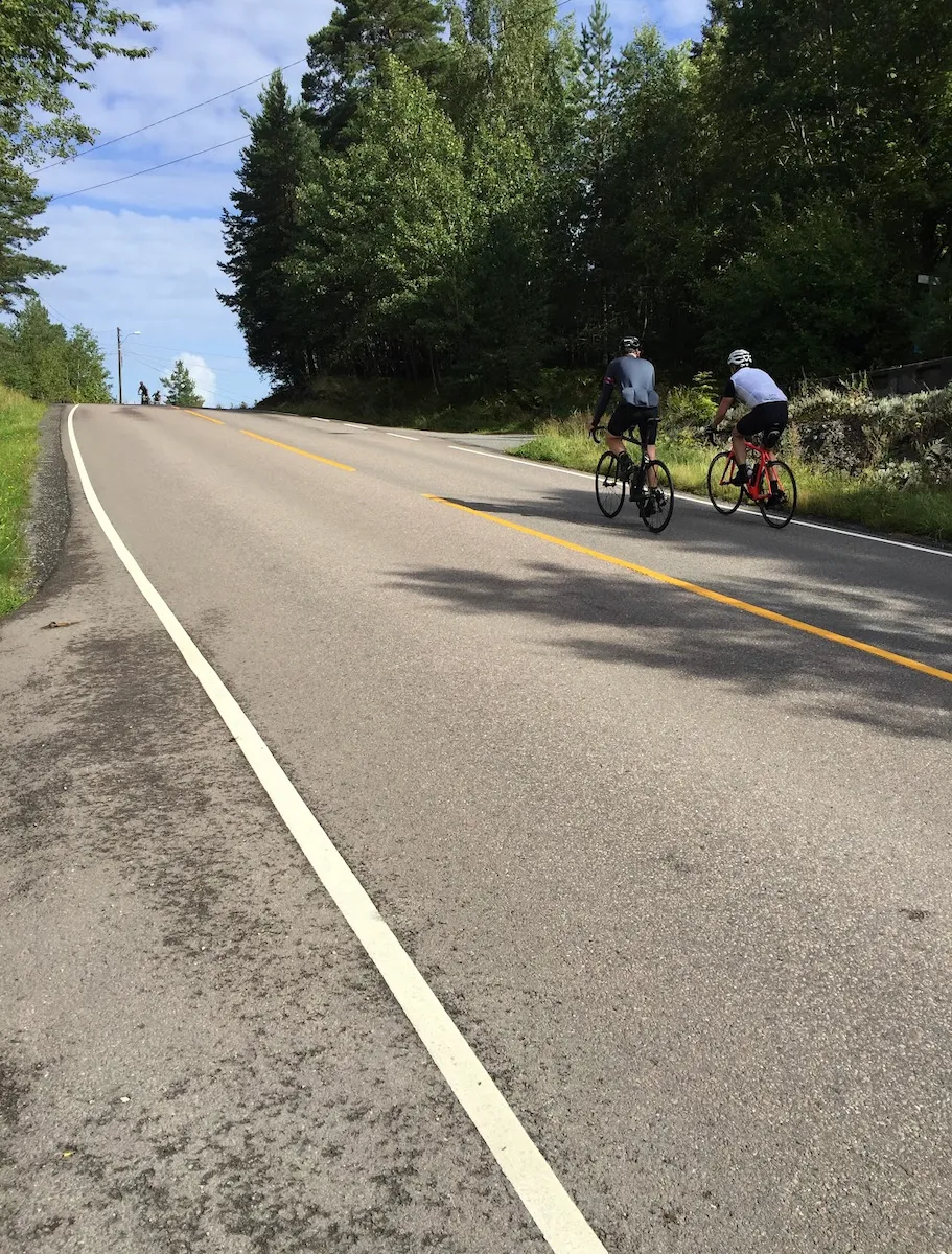
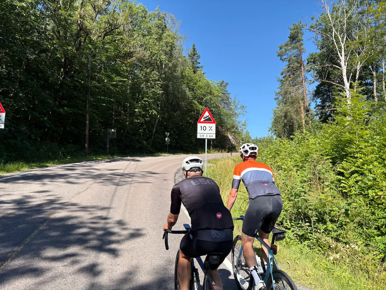
Before Rundvollbakken there's a warm-up hill. A sign warns of 10%, and it takes two or three minutes — just enough to get the heart rate up. Then a short descent, and from there you go straight into Rundvollbakken. It's just as hard every time: 1.7 kilometres long, at an average gradient of 7.9%. It comes early, while the legs are still fresh, and it's the only real climb of the day.
Over the top it turns rolling, with several short, steep ramps. On the steepest of them the cycle path is worth taking — it follows the road along much of the east side, and it helps when traffic is heavy too. Once the worst ramps are behind you the road runs well out towards Nesoddtangen: flat and gently downhill, with Bunnefjorden on your right.
At Nesoddtangen you can drop all the way down to the pier. You have to climb back up the same way — around 150 metres of climbing in under four kilometres — but the reward is the kiosk and the view from the harbour. It's my favourite stop on the whole loop. Get something to drink and a snack, sit down and look back at the Oslo you rode out of.
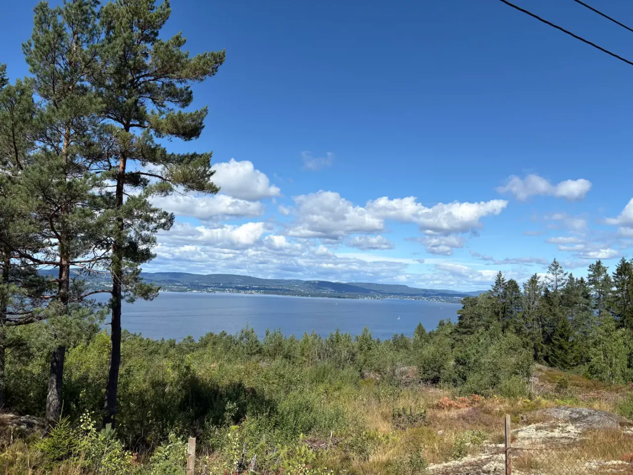
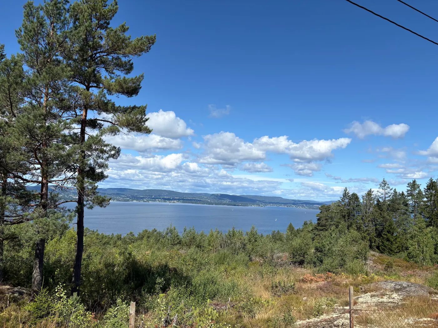
Back up top, the view opens across the fjord towards Hurumlandet. From here south the west side is properly rolling — you're going up or down almost the whole time, with hardly any flat. Svestadbakken sits between Fjellstrand and Fagerstrand, the toughest ramp on this side, and from km 69 comes the last climb of the day, up through Havsjødalen and off the peninsula.
From there it drops to Bunnefjorden and heads north for home, the same way you came out. Kiosken på Nesset sits at km 77, the last stop before the flat miles back to the Opera House.
Kilometre by Kilometre
From the Opera House south on the old Mosseveien. Past Ekeberg and down to Hvervenbukta, a popular swimming spot in summer. Mostly flat, with a few short ramps on the way out of the city.
At Vinterbro on km 21 the route turns onto the peninsula. Rundvollbakken starts at km 26.5 and runs 1.7 kilometres: 138 metres of climbing at 7.9%. It is the steepest stretch of the day, and it comes on fresh legs.
From the top of Rundvollbakken the route heads north along Bunnefjorden, on the eastern side of Nesodden. Rolling, but without long climbs. You have water on your right almost the whole way out to Nesoddtangen.
Nesoddtangen pier at km 46.4 is the turning point. Kiosk on the pier itself, and the ferry to Aker Brygge leaves from here if you would rather not ride the full loop. From there the route turns south down the west side, with the Oslofjord on your right.
Through Fjellstrand at km 56 and Fagerstrand at km 64. Svestadbakken sits between them and is the toughest of the ramps on this side. From km 69 comes the last climb of the day, up through Havsjødalen and off the peninsula — 113 metres.
From the top it drops to Bunnefjorden and heads north for home the same way you came out. Kiosken på Nesset sits at km 77, the last stop before the flat miles back to the Opera House.
Gallery
Route map & elevation profile
Key Climbs
Highlights
- •The peninsula has two completely different sides, and the loop takes both. The east side north along Bunnefjorden is rolling and open. The west side home is quieter, with the Oslofjord alongside the whole way.
- •Nesoddtangen pier at km 46 is the turning point. Kiosk on the pier, benches facing the water, and the view back towards the Oslo you rode out of.
- •Rundvollbakken at km 26 is the only real climb of the day — 1.7 kilometres at 7.9%, up from the fjord to the plateau. It comes early, while the legs are still fresh.
- •The ferry from Nesoddtangen to Aker Brygge takes 23 minutes and carries bikes. Ride the peninsula only, and you are back in Oslo in under half an hour.
Must know
- ⚠Nesodden has no bridge. You get there either by riding around Bunnefjorden via Vinterbro, as this route does, or by ferry from Aker Brygge. There is no third way in.
- ⚠The ferry has room for 20 bikes. On Sundays it runs hourly, otherwise every 30 minutes during the day.
- ⚠Bikes pay child fare on the ferry. An adult two-zone single is 75 kroner and the bike 29 — 104 kroner for you and the bike from Nesoddtangen to Aker Brygge.
- ⚠Buses on Nesodden do not carry bikes between 14:00 and 18:00 on weekdays. If you plan to take the bus back, it has to be outside that window.
- ⚠Best from April to October. The roads along the fjord are exposed, and it is colder out on the peninsula than in the city — dress in layers in spring and autumn.
Café & Water
- km 46Nesoddtangen brygge
Kiosk on the pier itself, at the turning point. The ferry to Aker Brygge also leaves from here.
- km 56Annas Hybel
On the west side in Fjellstrand, right by the road. The only stop between Nesoddtangen and the way home.
- km 77Kiosken på Nesset
Passed twice, at km 24 on the way out and km 77 on the way back. Known for the soft ice. Last stop before the flat miles back to the Opera House.
Frequently asked questions
- How long is Nesodden rundt?
- It depends where you start. From the Opera House in Oslo the loop is 101 kilometres with 1,335 metres of climbing. Take the ferry out to Nesoddtangen and ride the peninsula only, and it is around 41 kilometres. Both are called "Nesodden rundt", which is why you find such different numbers.
- Can you ride to Nesodden without the ferry?
- Yes. This route goes by road via Hvervenbukta and Vinterbro and enters the peninsula from the south. There is no bridge, so that is the only way in by bike without a boat.
- Can you take a bike on the Nesodden ferry?
- Yes, as long as there is space. There are 20 bike places on board, the bike pays child fare, and the crossing takes 23 minutes. On Sundays the ferry runs hourly.
- How steep does it get?
- The steepest sustained stretch on this route is Rundvollbakken, 1.7 kilometres at 7.9%. Nesodden has steeper roads than that, but they are not on this loop — the steepest half-kilometre here is 9.7%.
- Which direction should I ride the loop?
- Rundvollbakken comes at km 26 either way — it sits on the road out of Oslo, not on the peninsula itself. The choice is only which side of Nesodden you take first. As the route is laid out here, you ride the east side north to Nesoddtangen and the west side home, so the kiosk stops spread evenly across the day.
Know a better line?
Submit your local route and get featured with your own author profile, Strava, Instagram and Buy Me a Coffee link.
Share a Route → →Similar routes
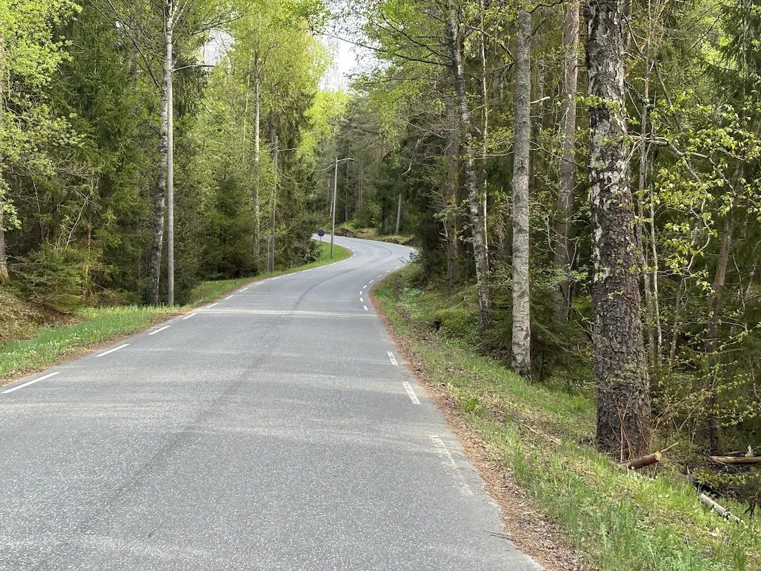
Oslo Cycling — Svartskog Loop
Same fjord-side feel — slightly longer with the Svartskog detour
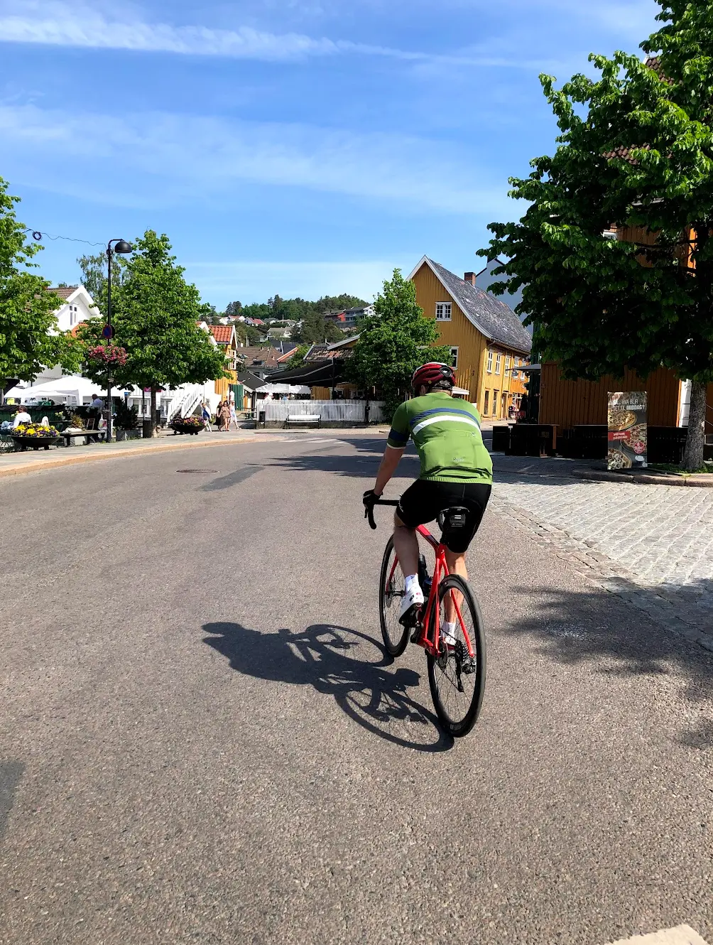
Oslo Cycling — Drøbak
Continues further south to Drøbak from the same Oslo area
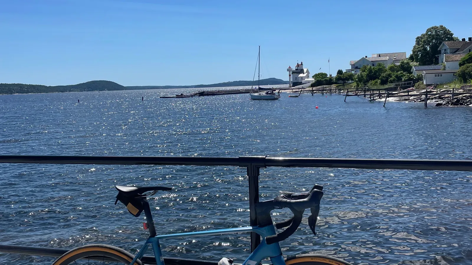
Oslofjord Short Loop
The bigger fjord crossing — B21 ferry to Hurum, not the Aker Brygge hop