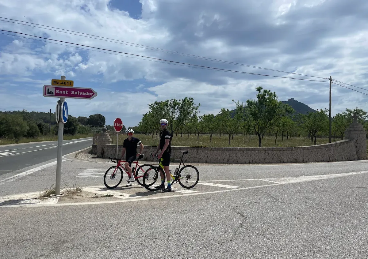
Sant Salvador Monastery Loop
About this Route
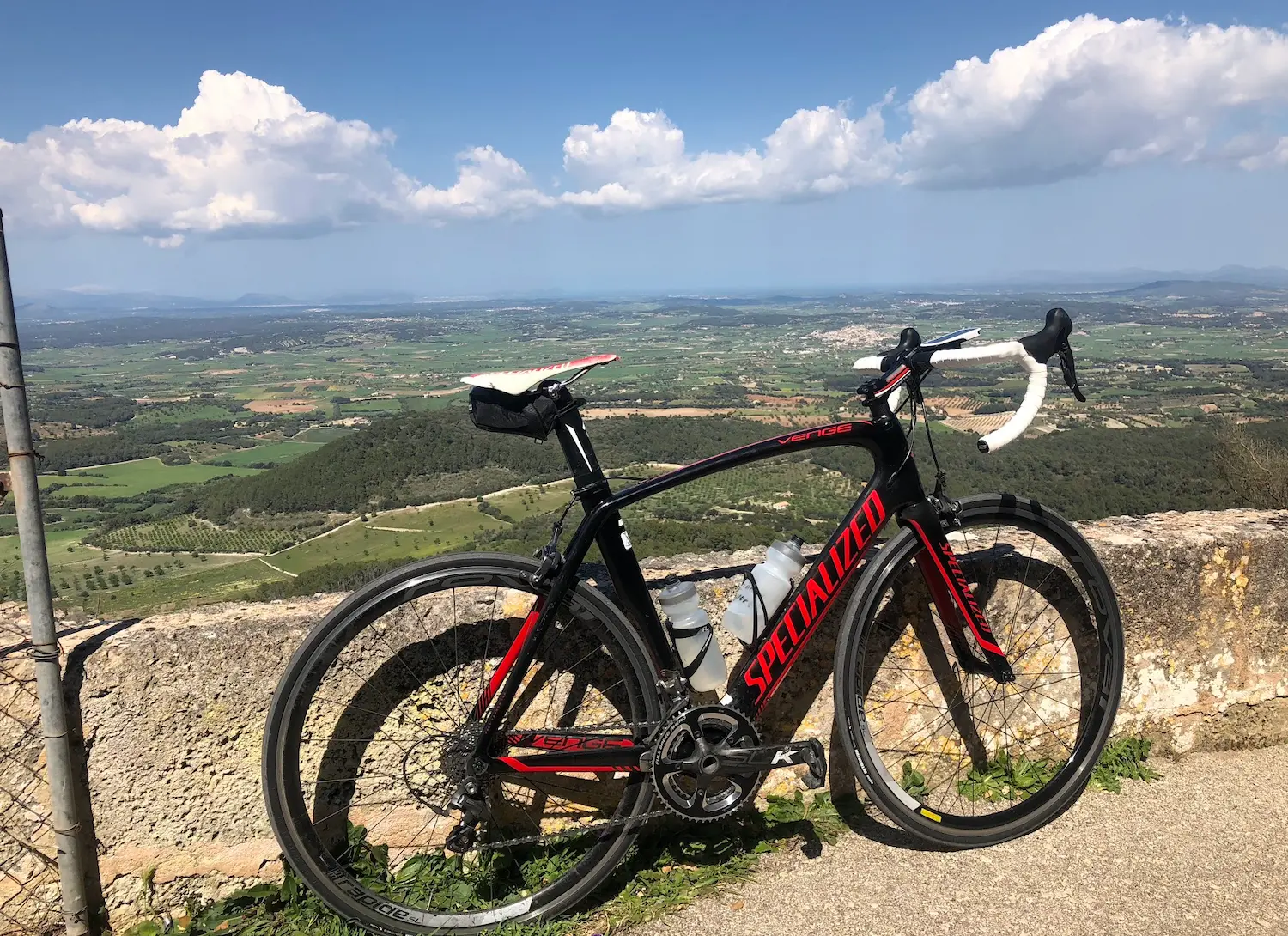
← Mallorca Cycling GuideThe pilgrimage climb of Mallorca — Sant Salvador monastery sits alone on a 510-metre summit in the southeast of the island, far from the Tramuntana mountains, giving a 360-degree panorama over the entire island that no other climb can match. From Alcúdia Bay in the north to the Cabrera islands in the south, the view from the top is unlike anywhere else on Mallorca.
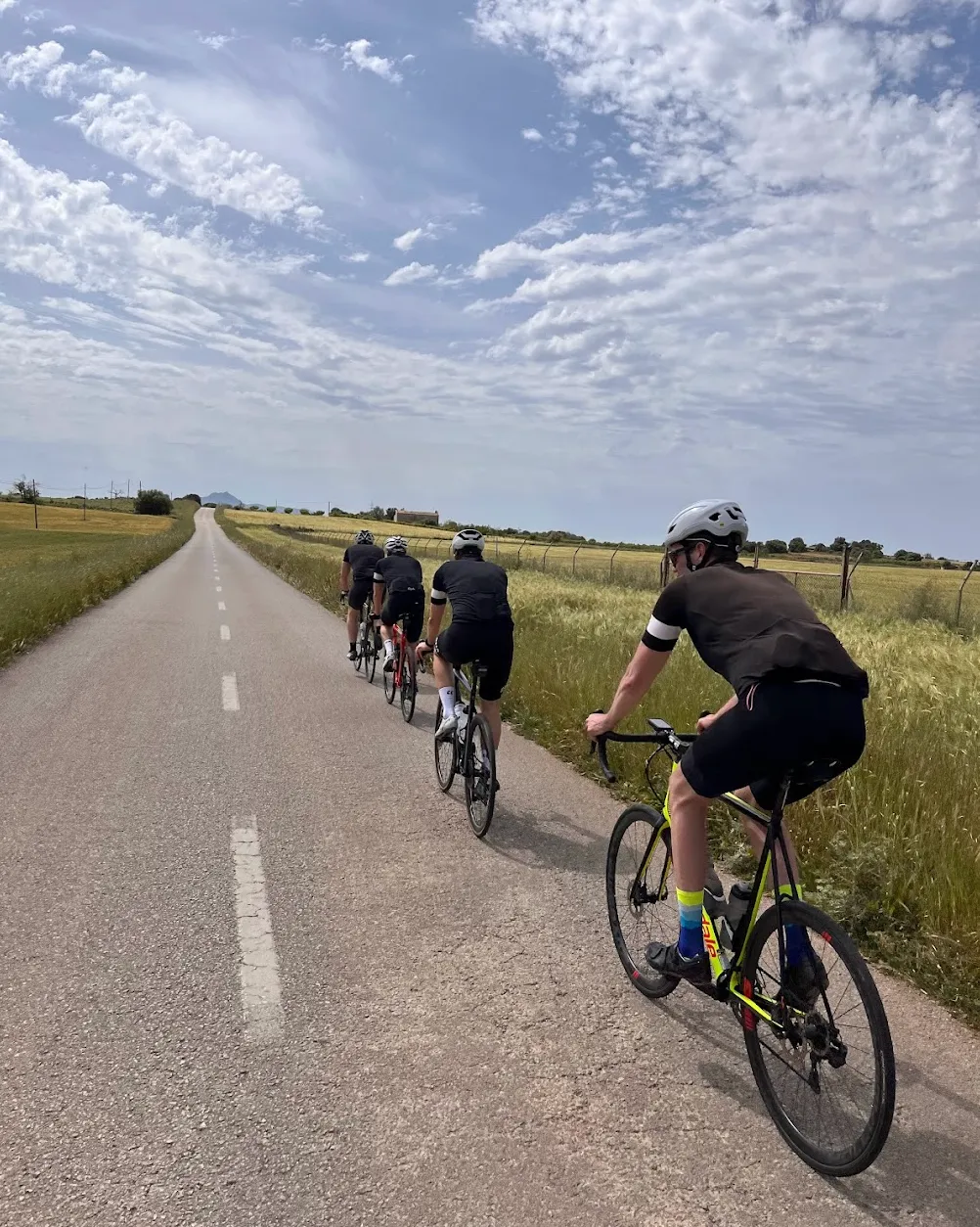
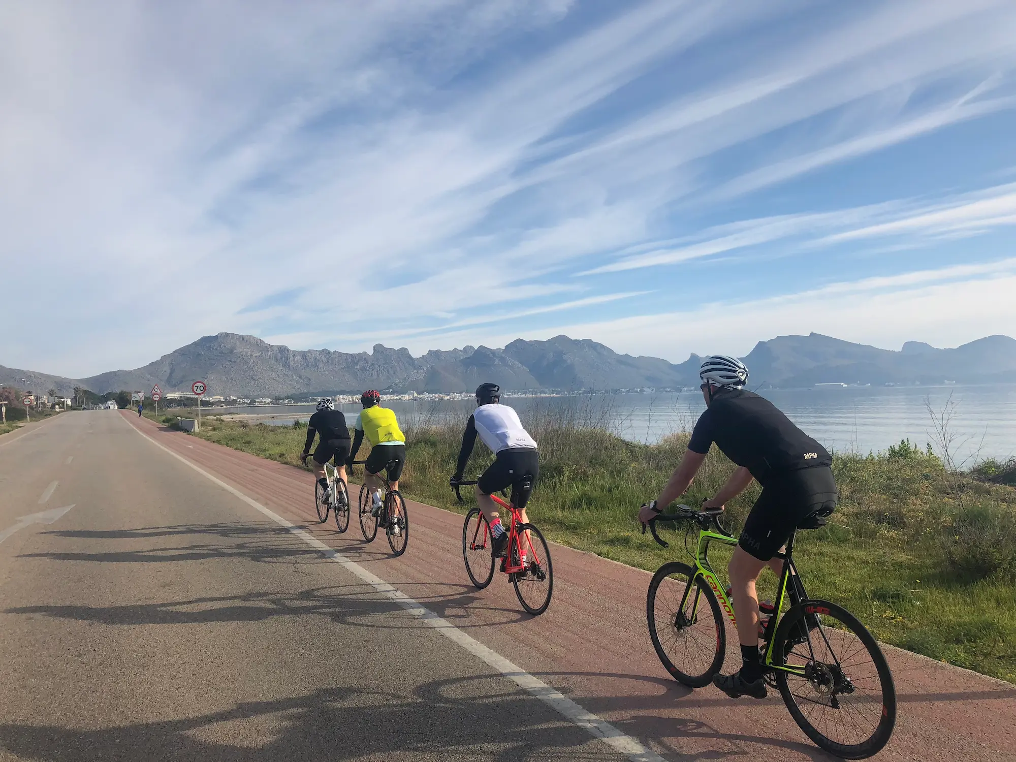
From Port de Pollença the route heads south across the flat central plain — the Pla de Mallorca — on fast, open roads perfect for riding in a group and maintaining good tempo. The real Mallorca reveals itself here: fields, windmills and dry stone walls stretching to the horizon. Through Santa Margalida and into Petra, the island's unofficial cycling capital, where the town square is almost always packed with riders from across Europe. A coffee and a slice of almond cake at Can Tomeu is close to obligatory.
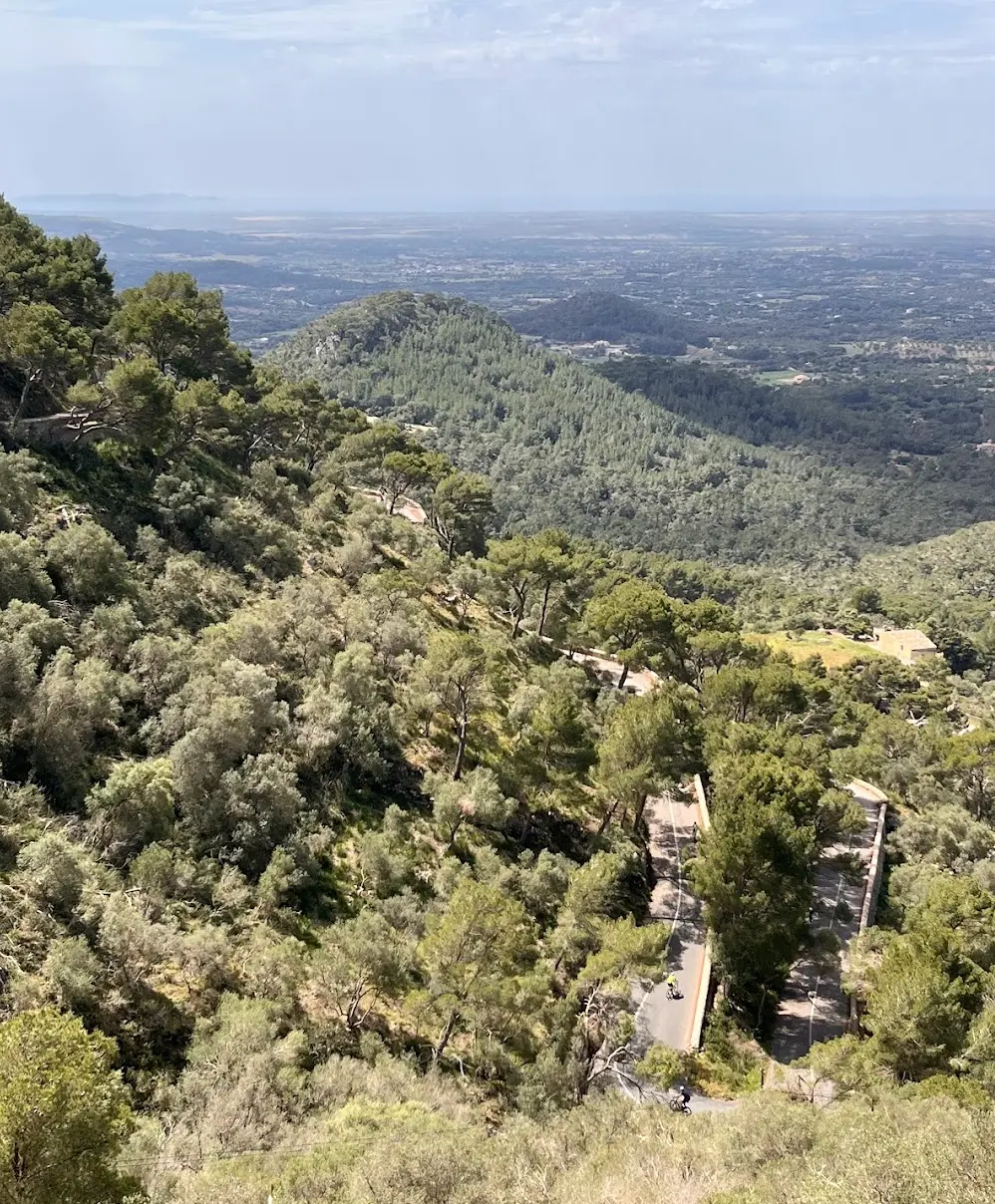
Porreres is the natural lunch stop before the climbing begins — Cafeteria Es Poltre in the village centre is cyclist-friendly, portions are generous and service is fast. From Felanitx the road rises immediately towards Sant Salvador. Five kilometres at 7% average with several hairpin bends, passing the giant stone cross of Es Picot on a neighbouring summit before the monastery appears above. Inside, world championship jerseys donated by professional riders line the corridors — a reminder of how deeply cycling is woven into this place.
The long return north across the plain is where wind awareness matters most. A headwind on the way home can be relentless on the open flatlands — save something for the final stretch back to Pollença.
We rode this during the same week as the Mallorca 312 — the big sportive that closes the mountain roads on the west side of the island. It was the perfect excuse to head east instead, and it turned into one of the best days of the trip.
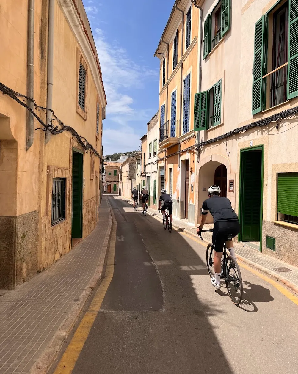
From Port de Pollença we followed the coast to Ca'n Picafort, then turned inland. The roads here are everything the Tramuntana is not — flat, open, narrow lanes through farmland with almost no traffic. A completely different side of Mallorca. We rode through Santa Margalida and into Petra, where we stopped on the main square for a coffee. Petra is the island's unofficial cycling capital and the square delivered: a warm morning, a good espresso, and pelotons rolling through every few minutes.
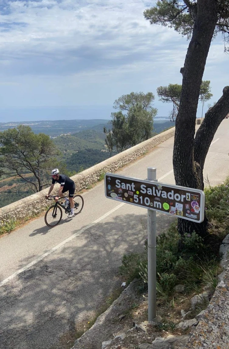
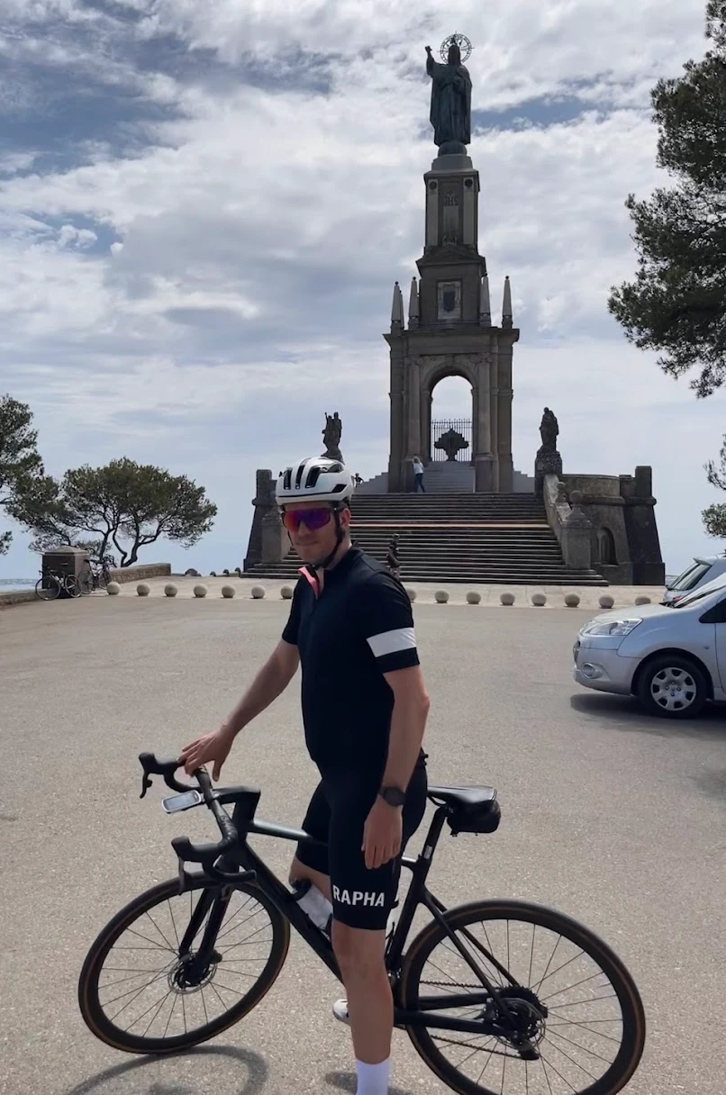
The climb to Sant Salvador is short but memorable. Five and a half kilometres at 6.3%, with tight hairpin bends through pine trees and the views expanding with every corner. At the top, the monastery appears — built in 1348 and still extraordinary. We stopped for a proper lunch at the café on the summit. The 360-degree panorama from up there is unlike anything else on the island: Cap de Formentor to the north, the Cabrera islands to the south, the Tramuntana mountains in the west catching the light. Worth every metre of the climb.
The return north across the Pla de Mallorca is a long, gradual roll through Porreres, Sineu and Sa Pobla. A good day for the legs — fewer metres than the big mountain days, but more distance. A fine alternative when the west side is closed.
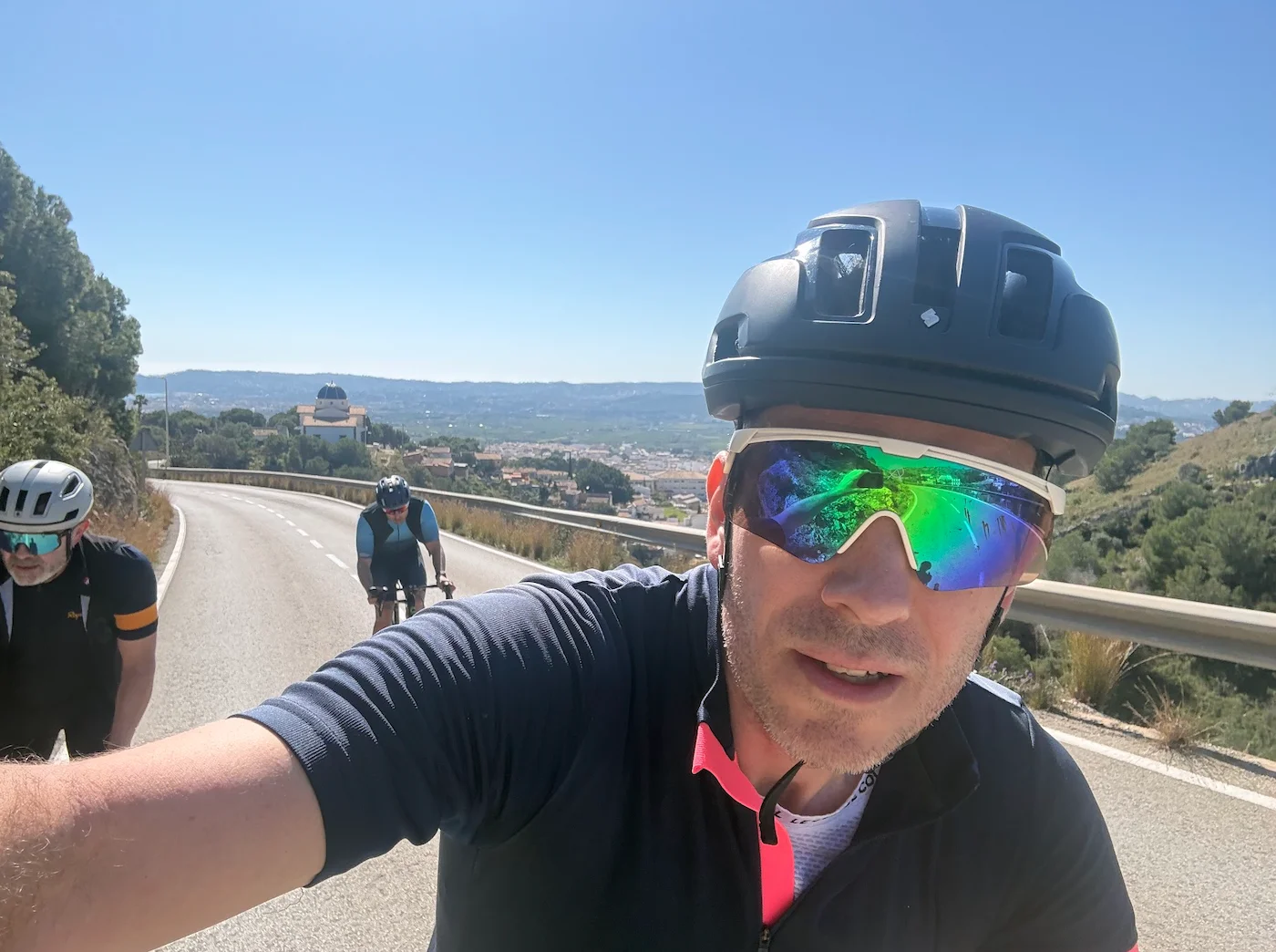
Kilometre by Kilometre
Head south from the harbour across the flat Pla de Mallorca on fast, open roads. Perfect for riding in a group and maintaining good speed. The landscape is authentic inland Mallorca — fields, windmills and dry stone walls. Petra is the halfway cultural landmark: the town square is the classic cyclist meeting point. Can Tomeu for almond cake.
Continue south through rolling countryside to Porreres — the ideal lunch stop at Cafeteria Es Poltre before the climbing begins. From Felanitx the road rises immediately. Five kilometres at 7% with hairpin bends, the giant stone cross of Es Picot visible on a neighbouring peak, before the monastery appears at the summit at around km 64.
The summit at 510 metres offers a 360-degree panorama over the entire island. Inside the monastery, world championship jerseys donated by professional riders line the walls. Take your time at the top — the descent back to Felanitx is fast and technical.
The long return crosses the central plain northward back to Pollença. Fast and flat but wind-dependent — a tailwind is a gift, a headwind is a test. Manage your effort carefully on this final stretch after a big day in the saddle.
Gallery
Route map & elevation profile
Key Climbs
The climbs we single out in MallorcaSant Salvador
Cat 2Highlights
- •360-degree panorama from the Sant Salvador summit — Cap de Formentor to the north, the Cabrera islands to the south, the Tramuntana range to the west. No other climb on Mallorca offers this breadth — the mountain rises alone from the flat inland
- •Petra: the island's unofficial cycling capital, where the town square is almost always full of riders from across Europe
- •World championship jerseys donated by professional riders line the monastery corridors — a quiet reminder of how deeply cycling is woven into this place
- •The Es Picot cross on the neighbouring summit: the giant stone cross that appears as you climb toward the monastery
- •The open Pla de Mallorca on the way home — authentic inland Mallorca with windmills, dry stone walls and little traffic
Must know
- ⚠Watch the wind direction on the return north across the plain. A headwind on the flatlands after a long day can be relentless — save something for the final stretch.
- ⚠The Sant Salvador climb (5.5 km / 6.3%) is shorter than the Tramuntana climbs but arrives after 65 km on the flat. Don't go out too hard on the lower slopes.
- ⚠The monastery is active — respect the quiet inside. The jerseys in the corridors are worth a quick look.
- ⚠143 km is a long day. Eat a proper lunch in Porreres before starting the climb.
Café & Water
- km 40Cafe C'an Tomeu
Almond cake and café con leche on the square of the island's unofficial cycling capital.
- km 65Can Calco 510
The café named after the altitude — views over the entire island, open daily from 08:00.
Frequently asked questions
- How hard is the Sant Salvador climb?
- Sant Salvador is 5.5 km with 353 metres of climbing at a 6.3% average gradient — shorter than most Tramuntana climbs. The challenge is that it arrives after around 65 km on flat terrain. Strava segment: Cat 2.
- What makes the view from the top special?
- Because Sant Salvador rises alone from the flat inland — not as part of a mountain range — the summit gives a complete 360-degree panorama. Cap de Formentor to the north, Cabrera to the south, the entire Tramuntana range to the west. No other climb on Mallorca gives this breadth.
- How does this route differ from the Tramuntana routes?
- Entirely. No exposed climbs, no long descents, no tourist traffic. Flat, open and authentic inland Mallorca — windmills, dry stone walls and quiet country roads. A completely different side of the island.
- Can the route be shortened?
- Yes. Start from Felanitx instead of Port de Pollença and ride only the Sant Salvador climb and back — around 30 km return. Or cut south to Manacor and head north without the Porreres detour for around 110 km total.
Know a better line?
Submit your local route and get featured with your own author profile, Strava, Instagram and Buy Me a Coffee link.
Share a Route → →Similar routes
Palma — Southeast Mallorca & Santanyí Cycling Route
Same southeast plain feel, easier rest-day scope
Port de Pollença to Alcúdia Bay rest-day loop
Other flat-route option from a different base — north coast loop
Sa Calobra from Pollença
Big mountain day for when the legs are ready for the queen stage