Palma — Southeast Mallorca & Santanyí Cycling Route
About this Route
← Mallorca Cycling GuideA beautiful journey through the southeastern corner of Mallorca — a part of the island that operates at a completely different rhythm to the mountain roads of the Tramuntana. Open plains, authentic villages, dry stone walls and the golden sandstone town of Santanyí: this is the real Mallorca, away from the tourist crowds.
From Palma the route heads southeast across the agricultural heartland of the island — the Pla de Mallorca. Wide open skies, ancient windmills that once pumped water to the fields, and the characteristic dry stone walls known as marges lining every road. Through Llucmajor — a well-known cycling hub with a good town square for a coffee stop — and on across the southern plains where almond and apricot trees mark the seasons.
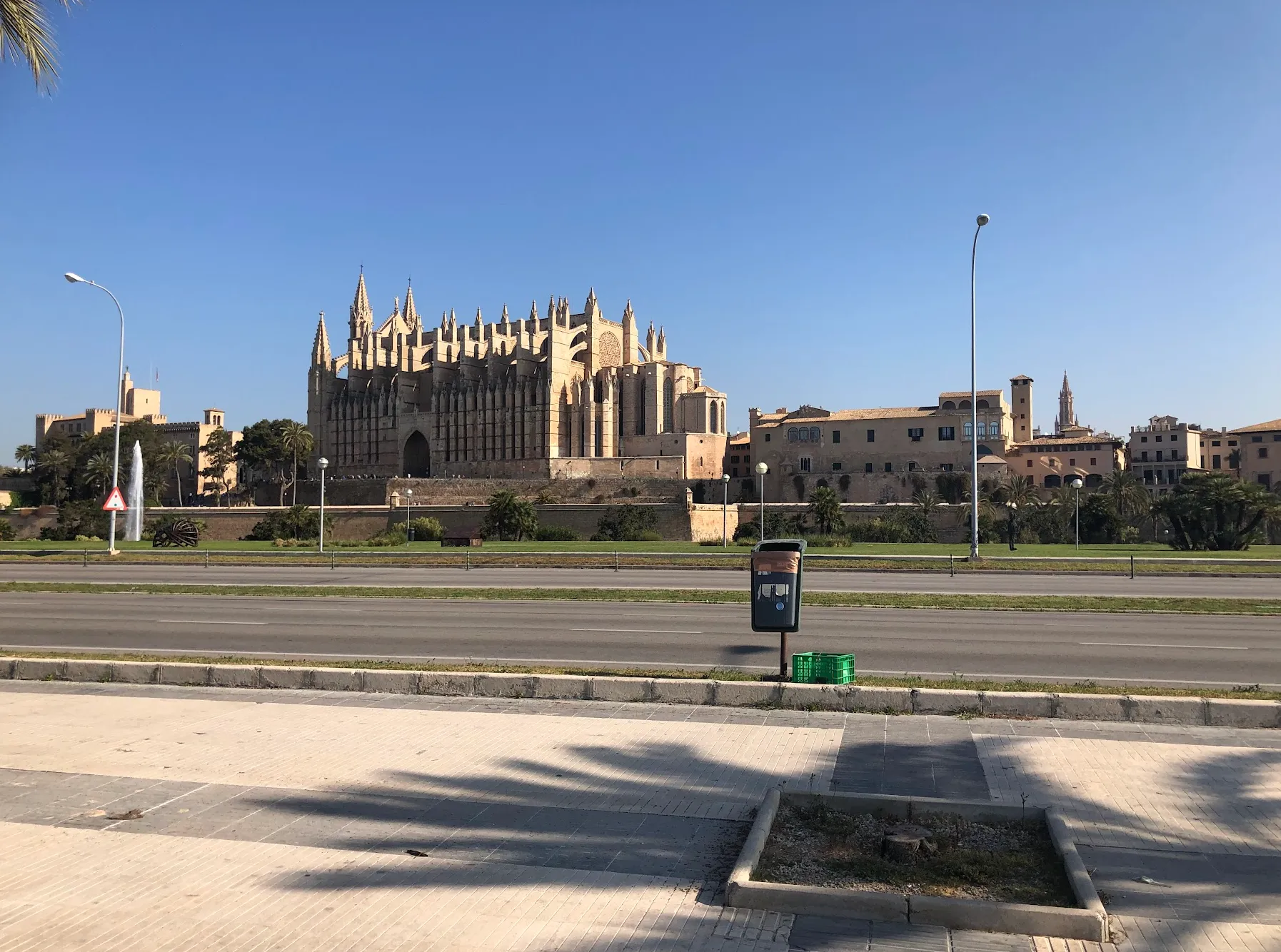
Santanyí is the jewel of the route. Built almost entirely from the golden local sandstone that was also used to construct Palma's famous cathedral, the old town is a beautiful maze of narrow streets, art galleries and excellent cafés. The main square is especially lively on market days — Wednesday and Saturday. A pamboli of local bread with oil, tomato and cured ham is the correct lunch order.
The return passes through Ses Salines, where salt has been harvested for centuries, before the flat roads carry you back to Palma. A route where the pleasure is in the rhythm, the culture and the landscape rather than the climbing.
We added this as a recovery day between several big mountain days — and for Norwegians, 1 000 metres of climbing in a day counts as light work.
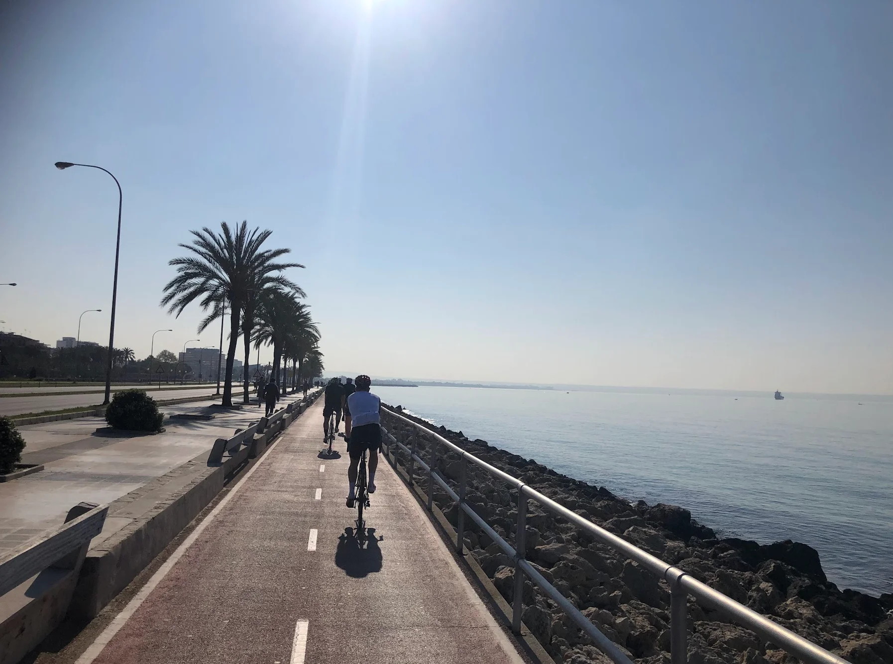
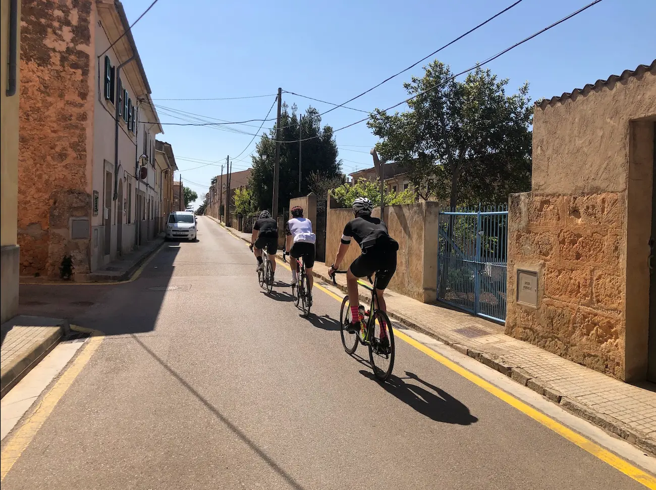
Leaving Palma is the trickiest part — city traffic is always a bit hectic, which is exactly why it pays to stay on the side of town where you plan to ride. Once clear of the suburbs, the roads open up completely. The southeastern plain is meditative cycling: long straight roads through almond groves and olive trees, dry stone walls lining every field, ancient windmills on the horizon. Wide skies, almost no traffic.
The area around Cala Pi is beautiful — coastal limestone, turquoise water, a completely different feel from the Tramuntana. Worth a detour if you have the legs.
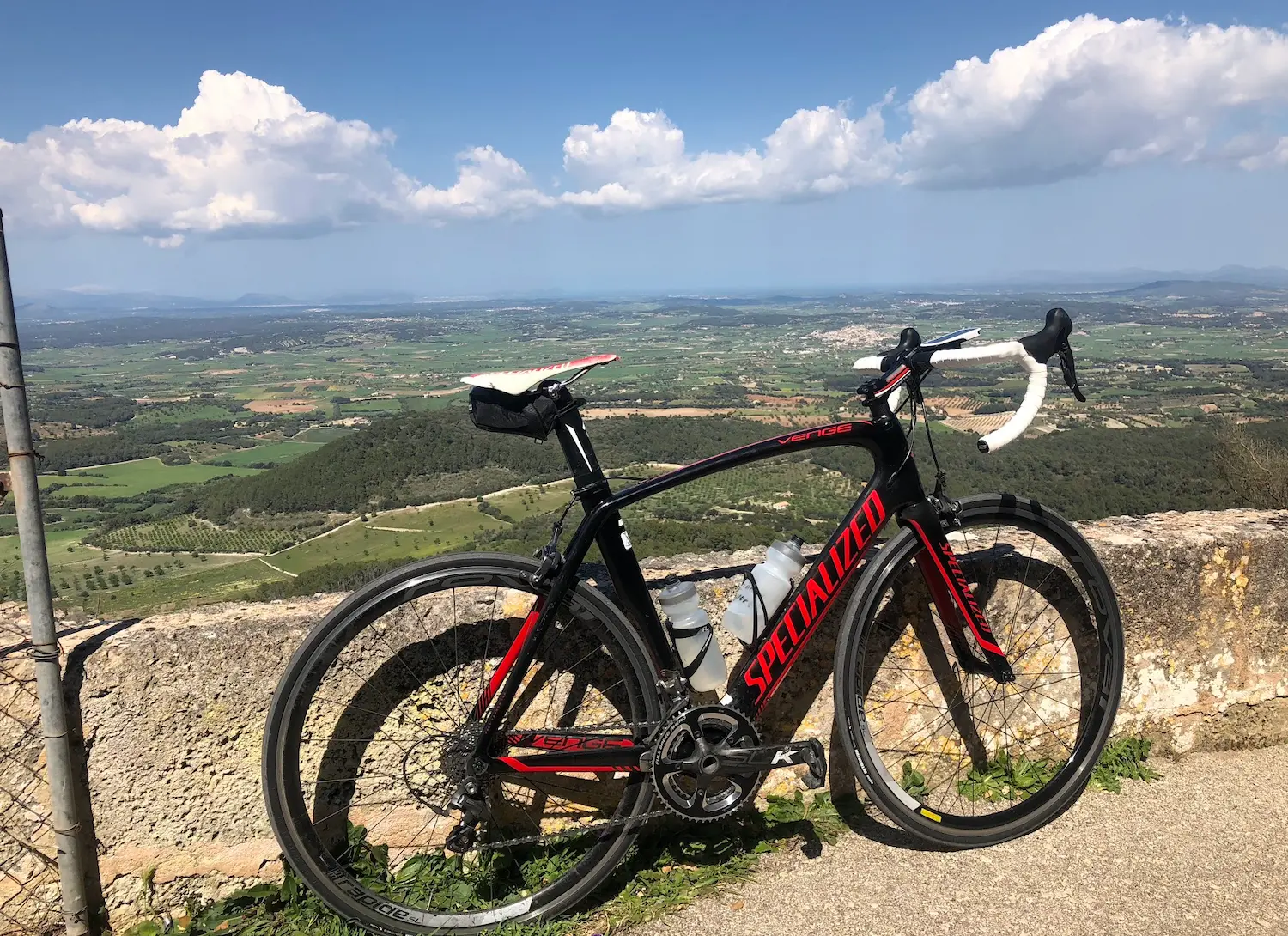
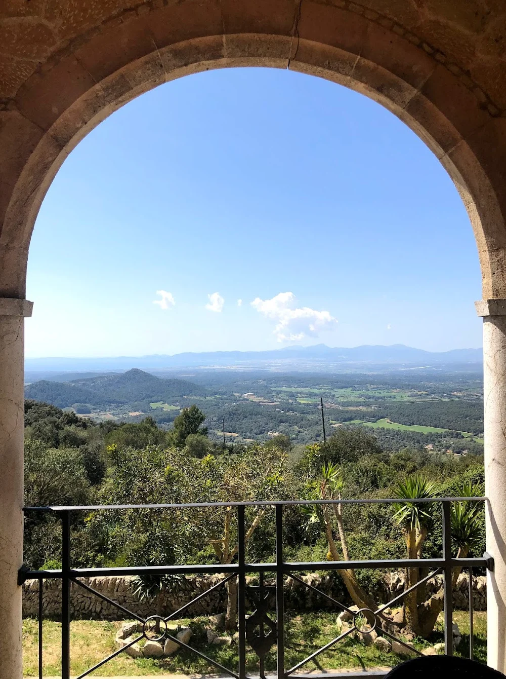
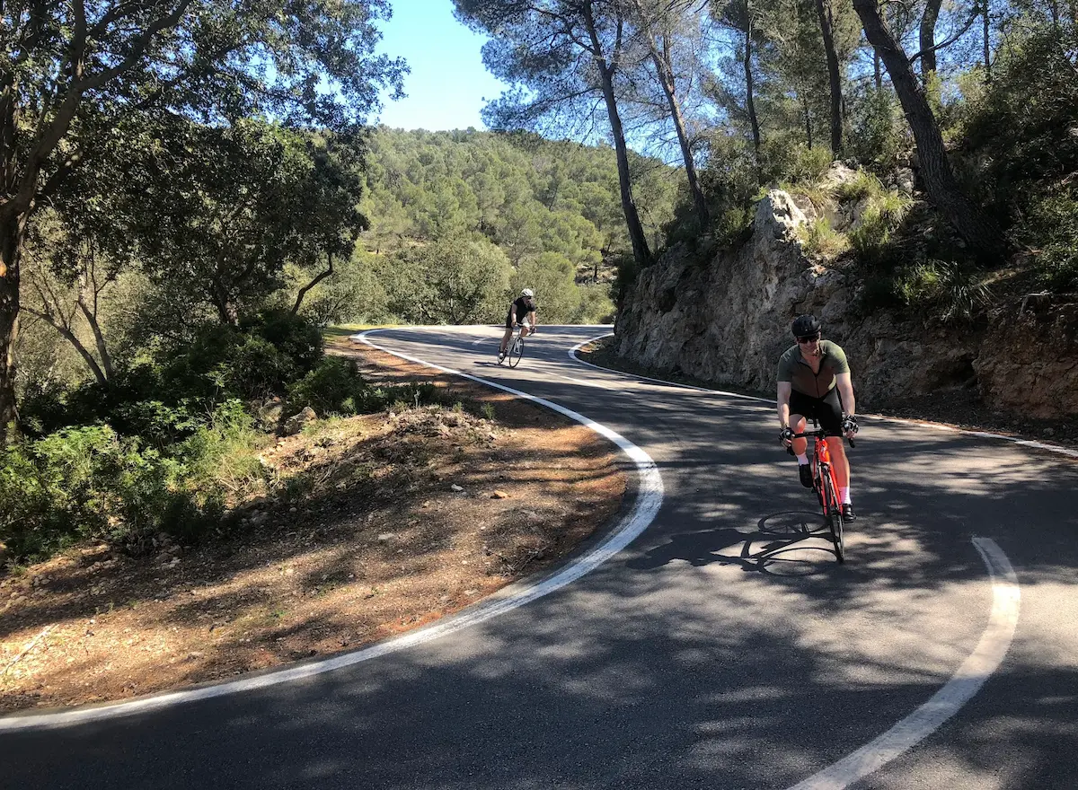
The climb to Santuari de Cura at Randa is the highlight of the day. We took a different approach — a narrow road, almost a footpath, with an extraordinary number of hairpin bends and virtually no other traffic. An unusual and memorable way up. At the top, ice cream and coffee at the restaurant with a 360-degree panorama over the entire island — Tramuntana to the north, the sea to the south and east, Palma bay to the west. A fitting reward for an easy day.
Kilometre by Kilometre
Head south through Palma's suburbs — the busiest part of the day. Once clear of the city the roads open up immediately and the traffic disappears.
Long, open roads through the agricultural heart of Mallorca. Llucmajor is an early coffee stop. Further south through Campos and toward the Santanyí area — dry stone walls, almond groves, ancient windmills. The Cala Pi coastline offers beautiful limestone cliffs and turquoise water.
The highlight of the day. The climb winds up to the monastery at 481 metres — hairpin bends with almost no traffic. The restaurant at the top serves ice cream and coffee with a 360-degree panorama over the entire island. Tramuntana to the north, the sea to the south and east, Palma bay to the west. Descend the same road back down.
Flat roads north across the plain back to Palma. Wind-dependent — a tailwind is a gift, a headwind demands patience. Fast and straightforward on tired legs.
Gallery
Route map & elevation profile
Highlights
- •Santuari de Cura on the Randa summit: 360-degree panorama over the entire island — the Tramuntana to the north, the sea to the south and east, Palma bay to the west
- •Santanyí old town: built from the same golden sandstone as Palma's cathedral, with narrow streets, art galleries and a lively main square
- •The open Pla de Mallorca — windmills, dry stone walls and almond trees lining the roads. A completely different Mallorca from the Tramuntana routes
- •Es Pontàs: the natural stone arch rising from the sea at Cala Santanyí — worth the detour
- •Market day in Santanyí (Wednesday and Saturday): the square at its best, local produce and pamboli in the right order
Must know
- ⚠The open plains of the southeast are wind-exposed. A headwind on the way home can be relentless after a long day — check the wind direction.
- ⚠Carry more water than you think you need. Little shade on the plains and temperatures on the open farmland can be significantly higher than in Palma.
- ⚠Santanyí square is open all week, but market days (Wednesday and Saturday) make the stop particularly worthwhile.
- ⚠Start early from Palma to get through the city traffic while it's quiet.
Café & Water
- km 65Restaurant Santuari de Cura
Coffee and ice cream with a 360-degree panorama. Open from 08:00.
Frequently asked questions
- What is Santuari de Cura?
- A monastery on the summit of Puig de Randa (481 m) — Mallorca's most iconic monastery climb outside the Tramuntana. The road up is narrow with tight hairpin bends and almost no traffic. The restaurant at the top gives a 360-degree panorama over the entire island.
- Is this route suitable for days with tired legs?
- Yes — one climb (Santuari de Cura, 481 m) and the rest flat, open terrain. No technically demanding sections. A good day between harder Tramuntana days.
- What is Es Pontàs?
- A natural stone arch rising from the sea at Cala Santanyí — one of Mallorca's most photographed natural formations. A short detour from Santanyí, worth the extra kilometres.
- What is pamboli?
- The classic Mallorcan snack: local bread with olive oil, tomato and cured meat. The correct lunch order on the square in Santanyí — particularly on market days.
Know a better line?
Submit your local route and get featured with your own author profile, Strava, Instagram and Buy Me a Coffee link.
Share a Route → →Similar routes
Sant Salvador Monastery Loop
Same southeast region — adds the iconic monastery climb to the loop
Palma to Andratx — Mallorca Coastal Cycling Loop
Other Palma-base option — west coast instead of southeast plain
Port de Pollença to Alcúdia Bay rest-day loop
Equivalent rest-day scope from a Pollença base