Sandefjord — Tønsberg & Hvittingfoss Loop
About this Route
← Vestfold Cycling GuideThe ultimate Vestfold loop — 151 kilometres that connects the coast with the deep inland, taking in Norway's oldest city, a charming fjord village and the powerful waterfalls of Hvittingfoss in a single day. This is a route for riders who want contrast: urban coastal charm in the morning, forested inland solitude by midday and the long valley roll home in the afternoon.
From Sandefjord the route heads east through rolling farmland to Tønsberg — Norway's oldest city, where Slottsfjellet castle hill rises above the harbour. The route then turns north through the inner Vestfold countryside, the terrain gradually becoming more forested and hilly as you push towards Hvittingfoss. The powerful rapids of Numedalslågen mark the halfway point — a natural stop for food before the long return.
The return follows Lågendalen southward through Svarstad and Steinsholt, with the river as a constant companion through some of the finest cycling roads in the region. A stop in Åsgårdstrand on the way is highly recommended — one of the most charming small towns on the Oslofjord, with the legendary Munchs Café serving shrimp sandwiches, pizza and local food right on the waterfront.
This is a route for when you want a long day with real variety — coast, towns, deep inland forest and a long valley return, all in one loop from Sandefjord. At 151 kilometres it's a serious commitment, but the constant change of scenery keeps the legs turning.
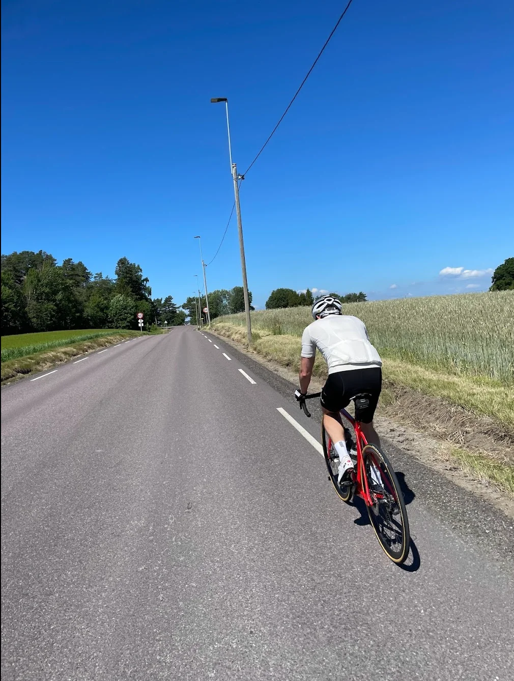
The opening stretch heads northeast from Sandefjord through Stokke and the rolling Vestfold countryside towards Tønsberg. The terrain is gently undulating — classic Vestfold farmland — and you reach Tønsberg at around kilometre twenty-eight. Norway's oldest city sits at the head of the Tønsberg fjord with Slottsfjellet castle hill rising above the harbour. It's worth a glance even if you don't stop.
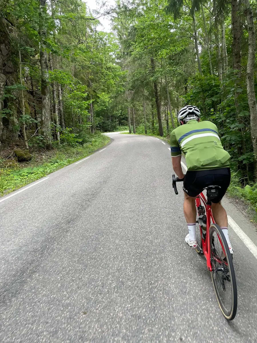
From Tønsberg the route swings north past Åsgårdstrand at kilometre thirty-eight — a beautiful small town on the Oslofjord known for its white wooden houses and artistic heritage. Munchs Café on the waterfront serves excellent shrimp sandwiches and is practically a mandatory stop. The route then pushes inland, climbing gradually through forested hills as the coastal landscape gives way to the deep Vestfold interior.
The northern stretch from kilometre fifty to eighty is the wildest section. The road passes near Nykirke and continues north through increasingly hilly and forested terrain, climbing to the highest point of the day at 172 metres near kilometre eighty-three. The furthest point from Sandefjord comes near Sundbyfoss at kilometre eighty, where you're a full forty-four kilometres from home as the crow flies. There's a real sense of remoteness here — quiet roads, deep forest, no crowds. The route passes through Hvittingfoss, where the powerful Numedalslågen rapids mark the turnaround of the day.
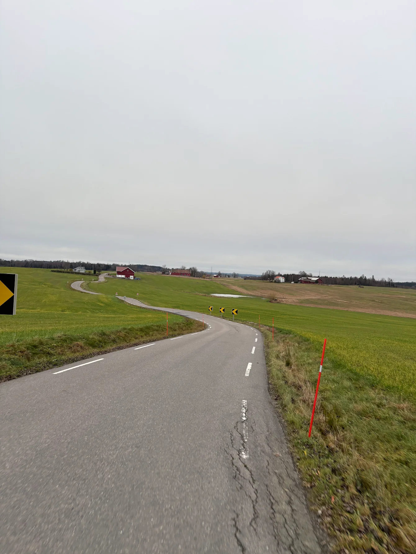
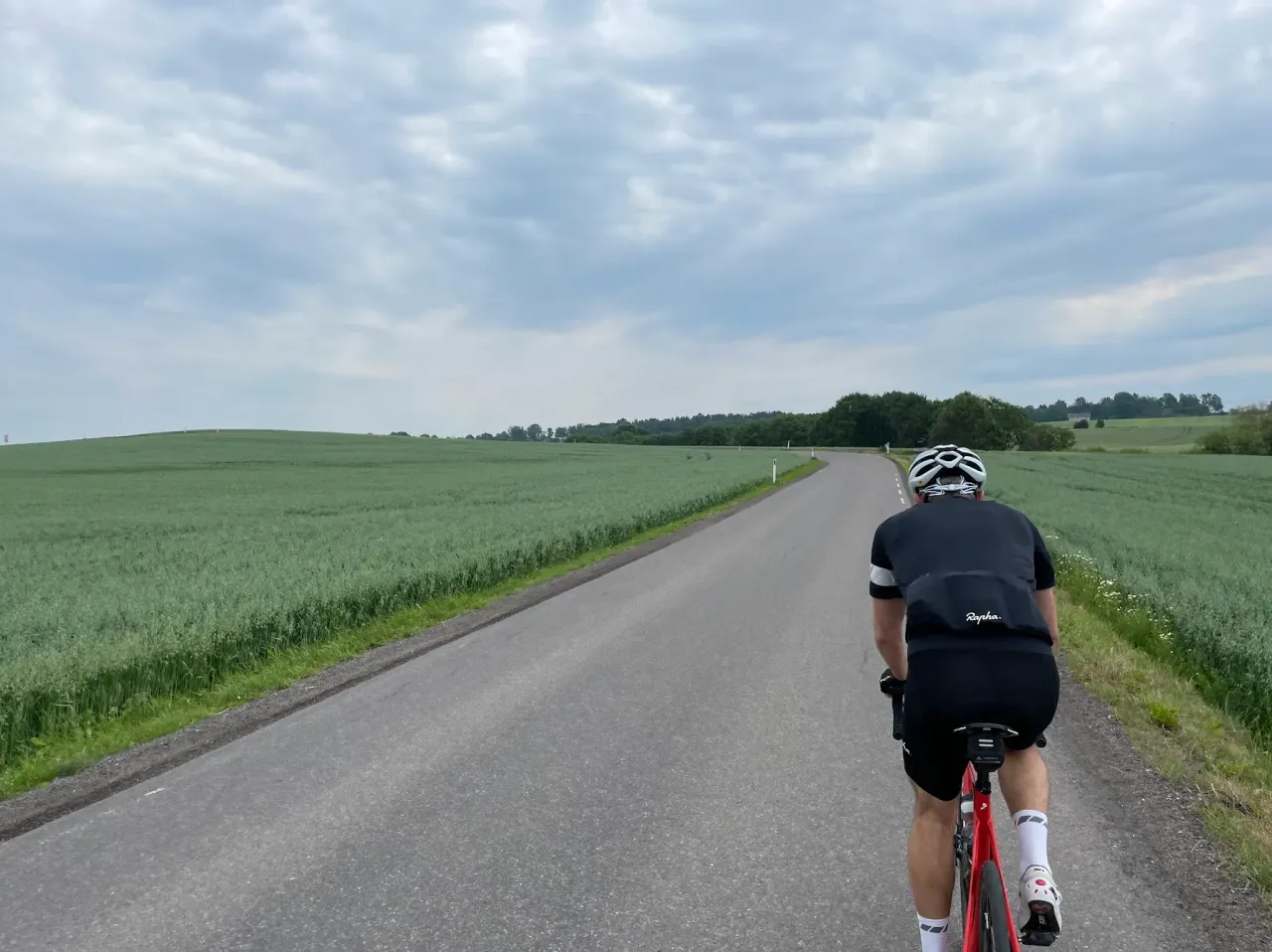
The return heads south through the western Vestfold interior, following valley roads that offer a completely different character from the coastal outbound leg. The terrain is rolling but the gradients are manageable, and near Steinsholt at around kilometre 108 the landscape opens up into the broad farming valleys along the Lågen. The riding here is meditative — long sightlines, well-maintained roads, the steady rhythm of kilometre after kilometre through some of the finest agricultural land in Norway.
The final thirty kilometres bring you past Hedrum and through the southern Vestfold countryside towards the coast. By the time you roll back into Sandefjord the contrast between the morning's coastal riding and the afternoon's inland solitude makes the route feel like two rides in one.

Kilometre by Kilometre
Leave Sandefjord and head east through open rolling farmland. The route passes through historically rich landscape before arriving in Tønsberg — Norway's oldest city. Slottsfjellet castle hill dominates the skyline. A natural early stop if needed.
A short detour to Åsgårdstrand is highly recommended — one of the most charming villages on the Oslofjord, known for its white wooden houses and artistic heritage. Munchs Café serves excellent shrimp sandwiches and local food right on the waterfront.
The route turns inland and north, climbing gradually through forested Vestfold countryside. The terrain becomes increasingly hilly and peaceful as the coast falls behind. Hvittingfoss marks the northernmost point — the powerful Numedalslågen rapids are worth a moment before the return.
The long return follows the Lågen valley southward through Svarstad and Steinsholt. Well-maintained roads with the river as a constant companion — ideal for settling into a rhythm and making good time home to Sandefjord.
Gallery
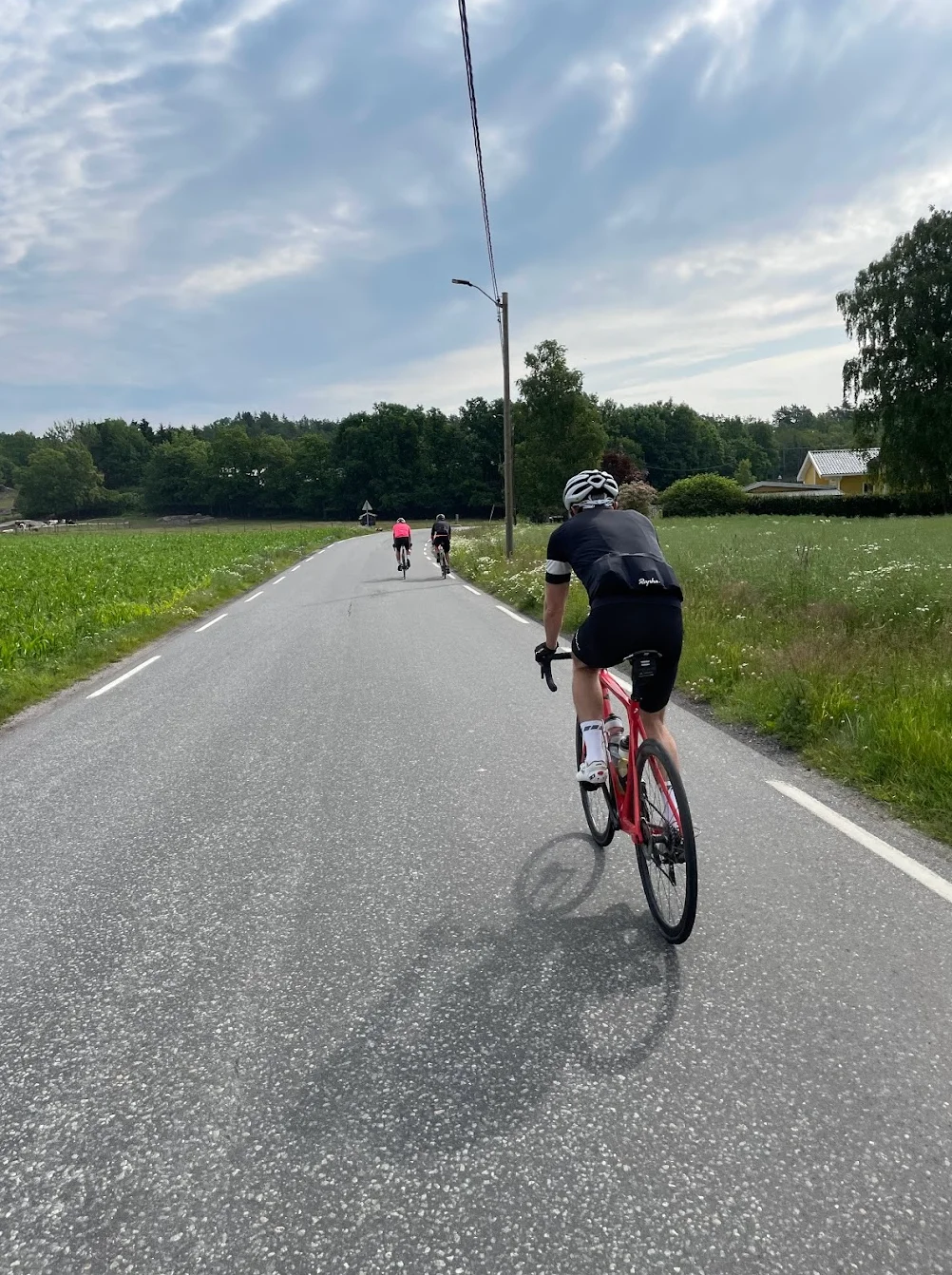
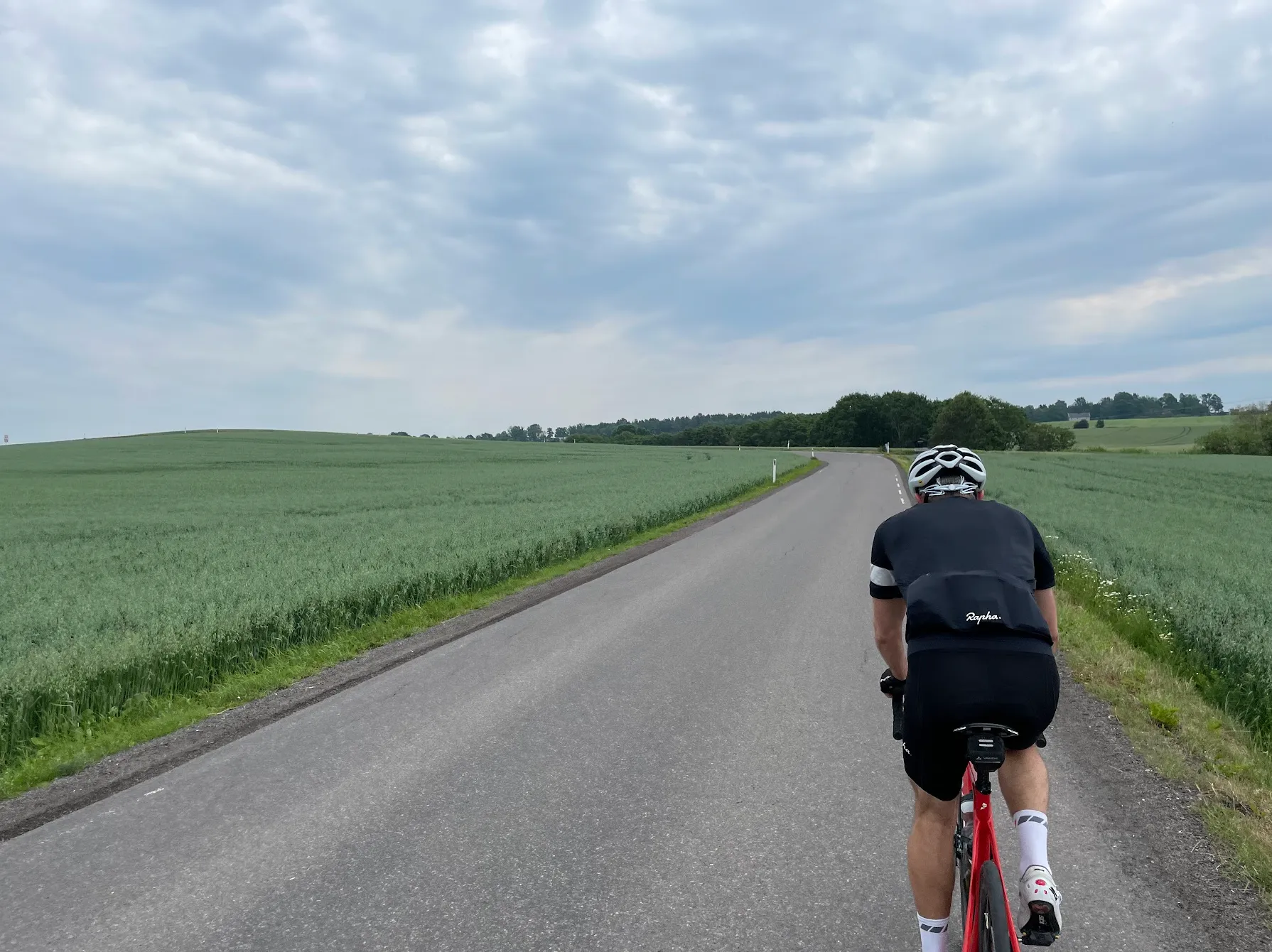
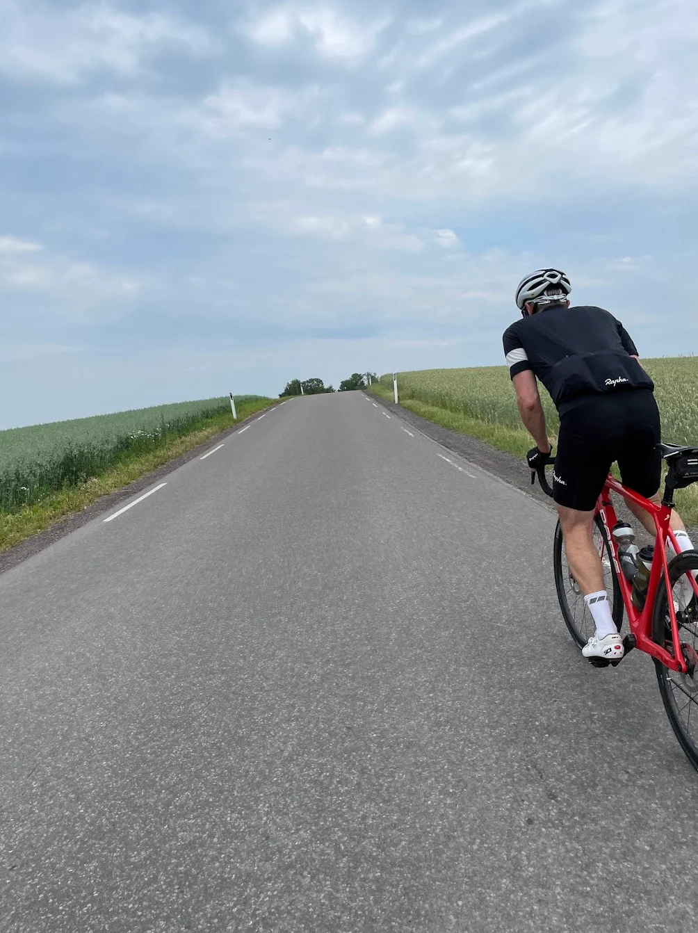
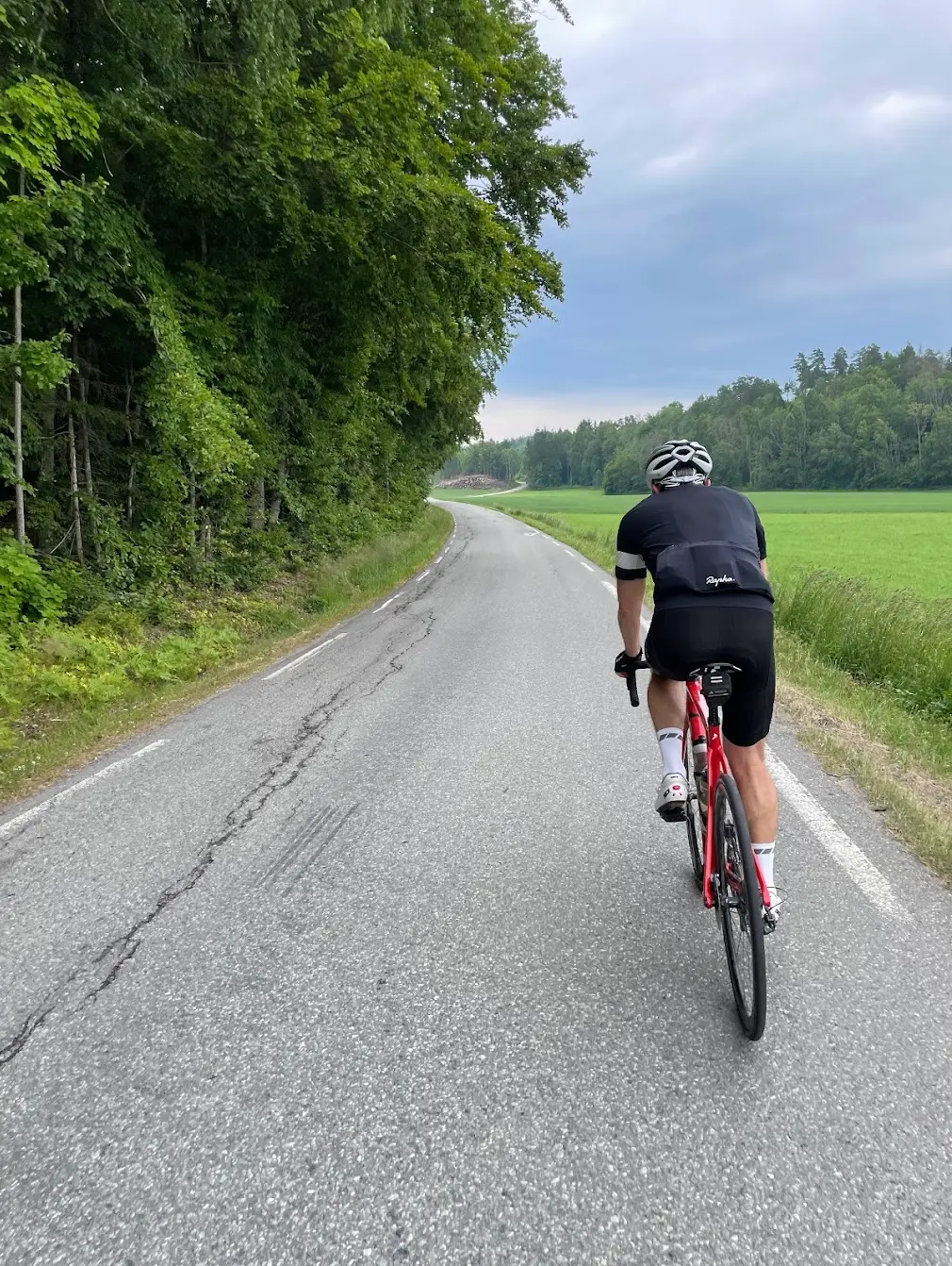
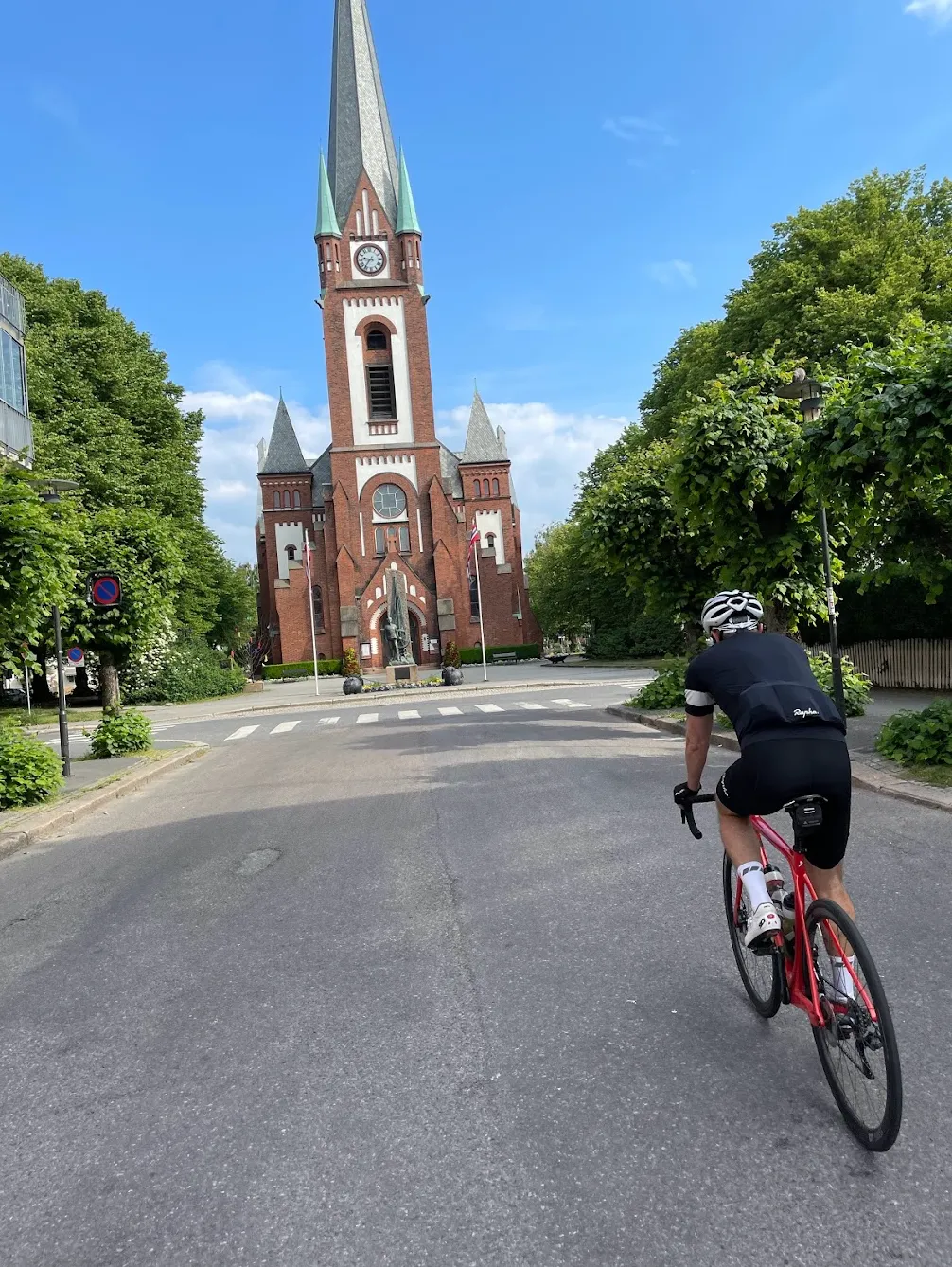
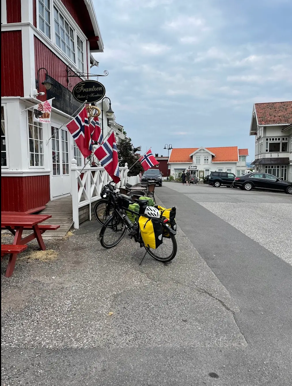
Route map & elevation profile
Key Climbs
Highlights
- •Tønsberg at km 28 is Norway's oldest city, and the route runs straight through the centre. Slottsfjellet is right by the road if you want a break with a view.
- •Åsgårdstrand at km 38 is one of the finest small towns on the Oslofjord. Munch had his summer house here, and you ride right past Munchs Café, which is worth a stop.
- •Mosseåsen between km 80 and 83 is the route's only categorised climb. 2.9 kilometres at 3.4 per cent, and it finishes at the highest point of the day at 172 metres.
- •Hvittingfoss at km 86 is the turning point. From here the route heads south and follows Lågendalen all the way home.
- •The return through Lågendalen runs twenty kilometres on Hedrumveien, from km 108 to km 128. A narrow valley road through farmland, with little heavy traffic.
Must know
- ⚠This is a true loop with no repeated roads. You do not pass the start again along the way, so there is no short cut home if the day gets long.
- ⚠The open inland valleys are colder and windier than the coast. Bring a wind vest even if it is fine when you set off from Sandefjord.
- ⚠Åsgårdstrand at km 38 and Hvittingfoss at km 86 are the two places you can top up. From Hvittingfoss it is 64 kilometres back to Sandefjord with little in between.
- ⚠Mosseåsen between km 80 and 83 is the only climb you need to plan for. It comes on the northernmost part of the route, just before Hvittingfoss.
- ⚠The route goes through Tønsberg town centre at km 28. That is the only town traffic on the whole ride, and the rest is on quiet roads.
Café & Water
- km 38.2Munchs Cafe og Restaurant
Right by the route in Åsgårdstrand, among the old wooden houses by the fjord. A natural first stop with a good quarter of the ride done.
- km 86.5YX / Best Hvittingfoss
A petrol station right by the route, at the turning point. Not a café, but food, drink and supplies exactly when you need them, and open from six on weekdays. An average of 4.4 from more than 400 reviews.
Frequently asked questions
- How long is the route?
- 151 kilometres with 1,843 metres of climbing, from Sandefjord and back. Allow six to seven hours including stops.
- Is it demanding?
- Not technically. The highest point is 172 metres, and the only categorised climb is 2.9 kilometres at 3.4 per cent. It is the 151 kilometres that make it a long day.
- Where does the route start?
- On Strandpromenaden in Sandefjord. It is a loop, so you finish in the same place.
- Which places does the route pass?
- Tønsberg at km 28, Åsgårdstrand at km 38 and Hvittingfoss at km 86. On the return through Lågendalen it passes through Svarstad and Hvarnes.
- Does the route go through Hvittingfoss?
- Yes. Hvittingfoss is twelve metres off the track at km 86, and is the northernmost point of the route.
Know a better line?
Submit your local route and get featured with your own author profile, Strava, Instagram and Buy Me a Coffee link.
Share a Route → →