Sandefjord — Hvittingfoss & Steinsholt Loop
About this Route
← Vestfold Cycling GuideOne of the most complete long-distance rides available from Sandefjord — a 182-kilometre epic that takes you from the coast deep into the Lågen valley, north to Hvittingfoss and back through the beautiful agricultural heartland of Vestfold. This is a route for riders who love mile after mile of good rhythm, varied terrain and authentic Norwegian inland scenery.
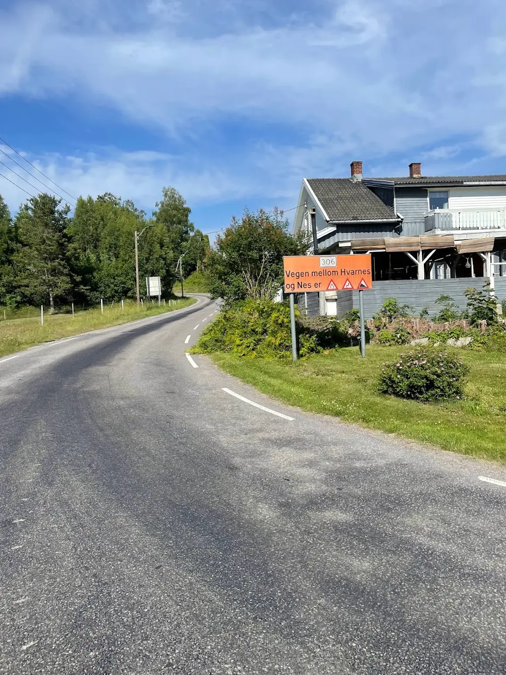
Leaving Sandefjord behind, the route heads north through Lågendalen along the Numedalslågen — one of Norway's longest rivers. The valley road follows the river as far as Hvarnes, where the route climbs out of the valley and continues north via Revetal to Hvittingfoss, the natural turning point of the route and site of the powerful waterfalls that give it its name. A stop here before the long return is strongly recommended.
The southern leg winds back through Steinsholt and Svarstad, through some of the finest agricultural land in Norway, before the familiar Vestfold roads bring you home to the coast. Long, steady gradients, well-maintained roads with minimal heavy traffic, and a route profile that rewards consistent effort over explosiveness.
This is the big one. At 182 kilometres with over 2,600 metres of climbing, the Hvittingfoss and Steinsholt loop is one of the most demanding day rides available from Sandefjord — a proper inland epic that takes you from the coast deep into the forested hills of Vestfold and Telemark before the long haul home.
The route heads north from Sandefjord on Hedrumveien, through Lågendalen. The terrain here is typical inner Vestfold — short punchy rises through mixed forest and farmland, nothing savage but enough to get the legs working. At Hvarnes at kilometre thirty-four the first real climbing begins: 6.1 kilometres at 3.3 per cent, gaining two hundred metres steadily as the landscape shifts from coastal lowland to deep forest.
The middle section, from roughly kilometre fifty to ninety, is the long northward push through the Vestfold interior. The road passes near Revetal before heading deeper into increasingly remote territory. The terrain is constantly rolling — there are no flat sections, no easy kilometres — but the roads are quiet and the scenery shifts from open farmland to dense pine and spruce forest.
You pass through Hvittingfoss at kilometre ninety-four, where the powerful waterfalls on the Numedalslågen make for a dramatic landmark. Thirteen kilometres later comes the hardest effort of the day, where Skrim Øst rears up from the valley floor at kilometre 107. Nearly five kilometres at close to 7% average gradient, climbing from around 85 metres to over 400 metres — it's a proper wall and it arrives when the legs are already deep in the red. The summit at just over 400 metres is the highest point of the route and feels truly remote, with views across endless forested ridges. This is Telemark country, wild and quiet.
The descent off Skrim is fast and technical, dropping steeply before the road levels out and begins the long return south. The return leg passes through Lardal and near Kvelde, following quieter valley roads with the river glinting through the trees. The terrain is still rolling but more forgiving than the outbound leg — the gradients are gentler and the rhythm comes easier, which is a mercy at this point in the ride.
The final forty kilometres bring you back through familiar Vestfold landscape and the southern farming country, before the road drops to the coast and the finish in Sandefjord. An early start is essential — this is a full day in the saddle, and you want to be home before dark.

Kilometre by Kilometre
Leave the coast behind and head north on Hedrumveien through Lågendalen. The terrain is gently undulating through forest and open farmland all the way to Hvarnes.
The climb from Hvarnes takes you two hundred metres up and out of the valley. From here the route runs north via Revetal, constantly rolling with no flat sections, to Hvittingfoss at kilometre 94 — the northernmost point of the route and the only reliable place to top up.
The hardest climb of the day comes at kilometre 107: Skrim Øst, 4.7 kilometres at 6.8 per cent up to the highest point of the route at 407 metres. The descent is fast and steep before the route levels out through Svarstad at kilometre 128 and Steinsholt at kilometre 140.
The final forty kilometres run south, first on Hedrumveien — the same valley road you rode north in the morning — and on through the southern farming country before the road drops to the coast and the finish in Sandefjord.
Gallery
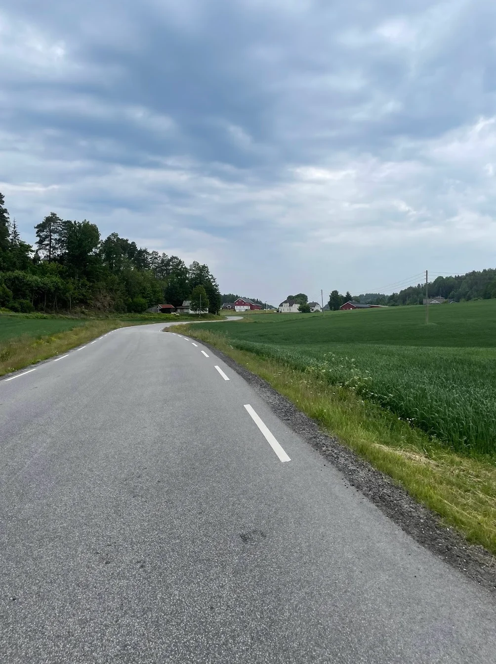
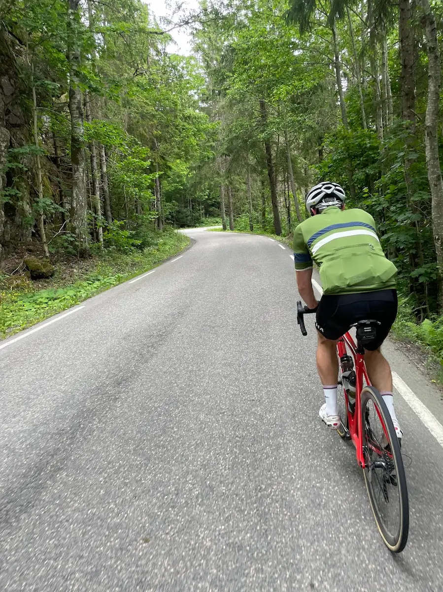
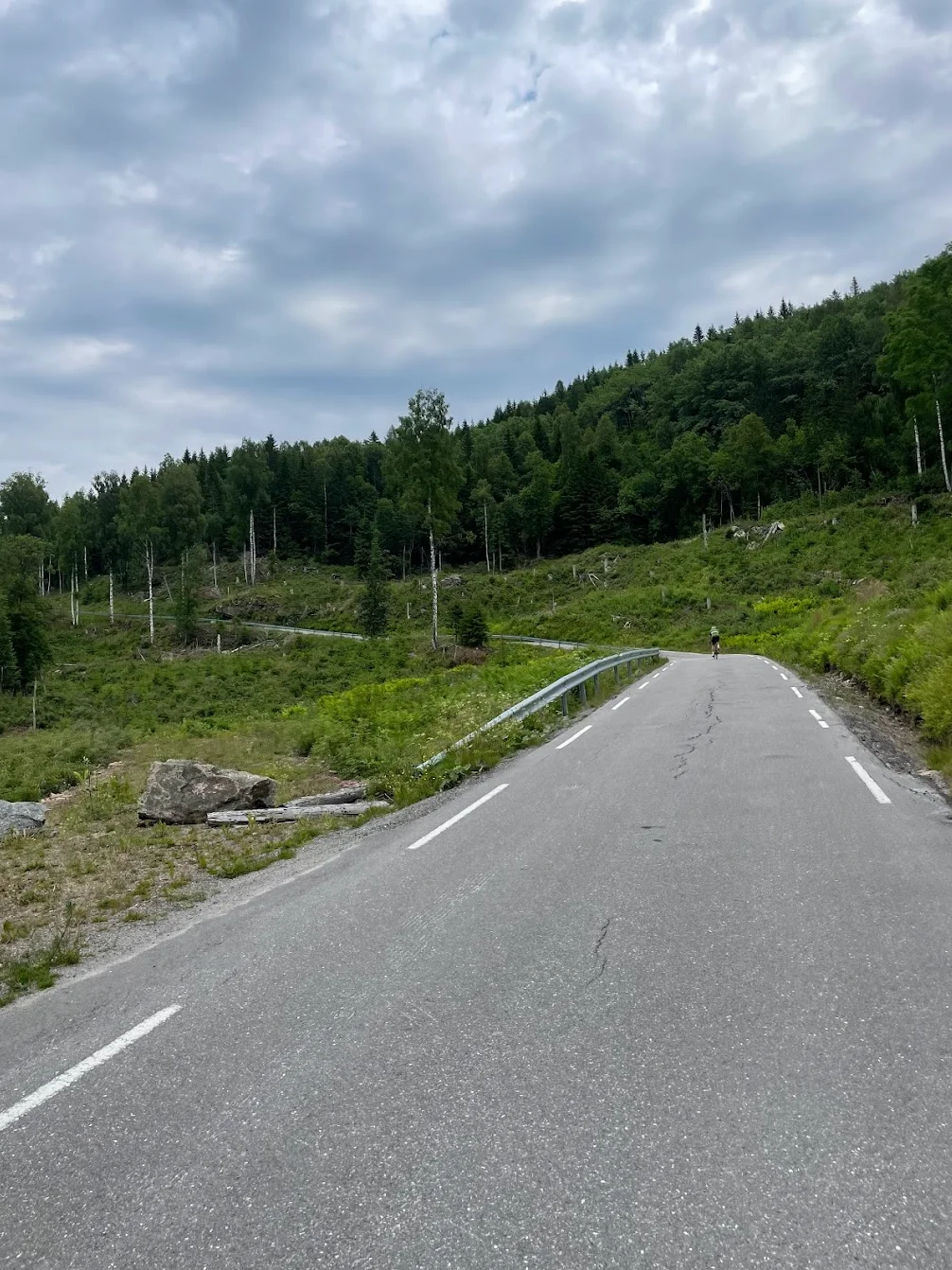
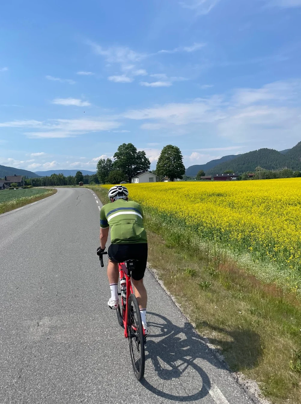
Route map & elevation profile
Key Climbs
Highlights
- •Skrim Øst between km 107 and 111 is the hardest climb of the day. 4.7 kilometres at 6.8 per cent, and it finishes at the highest point of the route at 407 metres — the only climb above 250 metres on the whole loop.
- •The Hvarnes climb from km 34 is the first proper one. 6.1 kilometres at 3.3 per cent, climbing steadily from 35 to 235 metres. Long enough to settle into a rhythm, not steep enough to break anyone.
- •Hvittingfoss at km 94 is the northernmost point of the route, and the only place along the way where you can reliably top up.
- •The return south passes through Svarstad at km 128 and Steinsholt at km 140, on narrow valley roads with little heavy traffic.
- •The route takes you from sea level in Sandefjord to 407 metres on Surliveien. The shift from coast to interior is clear from around km 100.
Must know
- ⚠Hvittingfoss at km 94 is the only reliable place to top up. Fill your bottles there and carry enough food for the 88 kilometres home.
- ⚠Skrim Øst comes at km 107, with two thirds of the ride behind you. Plan the day around it.
- ⚠Start early. Most riders need seven to nine hours for 182 kilometres, and you want daylight left for the return.
- ⚠The route goes from sea level to 407 metres. It is colder and windier at the top than in Sandefjord, so bring a wind vest.
- ⚠The first 34 kilometres and the last 40 run on Hedrumveien, in opposite directions. Around a fifth of the route is the same road twice.
Café & Water
- km 93.8YX / Best Hvittingfoss
A petrol station right by the route, at the northernmost point. Not a café, but food, drink and supplies exactly where you need them, with 88 kilometres to home. Open from six on weekdays.
Frequently asked questions
- How long is the route?
- 182 kilometres with 2,662 metres of climbing, from Sandefjord and back. Allow seven to nine hours including stops.
- How hard is it?
- Two categorised climbs, both Cat 3. Hvarnes at km 34 is the long, steady one; Skrim Øst at km 107 is the steep one. It is the second that decides how the day feels.
- Where can I top up?
- Hvittingfoss at km 94. Beyond that the interior is thin, so plan accordingly.
- Where does the route start?
- On Strandpromenaden in Sandefjord. It is a loop, so you finish in the same place.
- Which places does the route pass?
- Hvarnes at km 34, Hvittingfoss at km 94, Svarstad at km 128 and Steinsholt at km 140.
Know a better line?
Submit your local route and get featured with your own author profile, Strava, Instagram and Buy Me a Coffee link.
Share a Route → →