Sandefjord — Larvik & Stavern Loop
About this Route
← Vestfold Cycling GuideA road loop through Vestfold linking three coastal towns: Sandefjord, Larvik and Stavern. The first 29 kilometres follow Kystruta, national cycle route 1, south past Kaupang and through Larvik.
From Larvik the route continues to Stavern at km 29 and out to Helgeroa at km 41 — the finest stretch of coast on the whole ride. Here the route turns inland.
The return is a completely different ride: inland over Tveidalen and Siljan, twelve kilometres of gravel from Oklungen, and the high point of the day at 179 m. 131 kilometres with 1,896 metres of climbing, and 64 kilometres without anywhere to resupply.
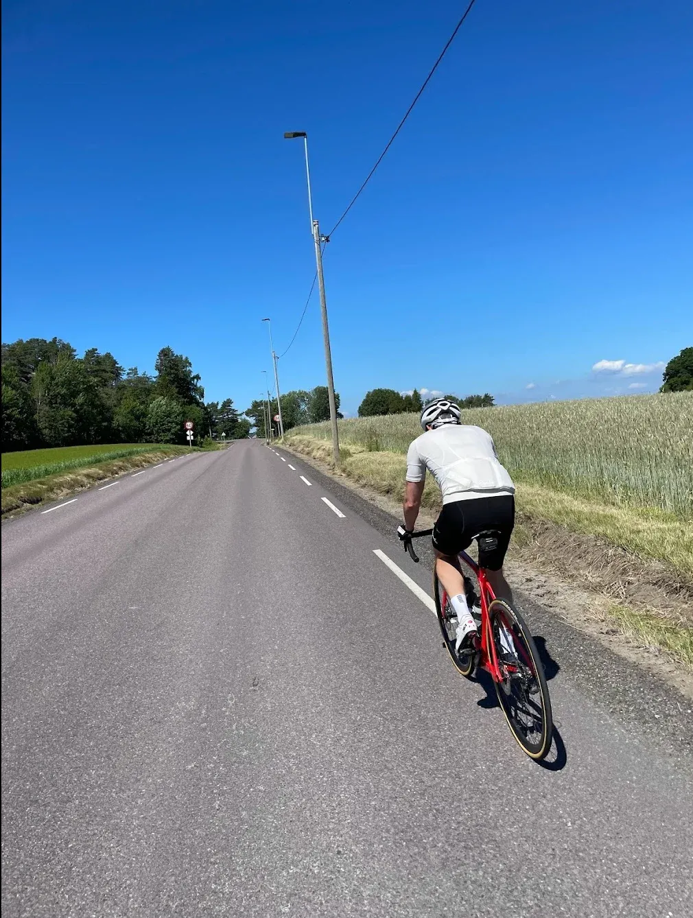
This route strings together three coastal towns in Vestfold — Sandefjord, Larvik and Stavern — on a day that starts by the sea and ends in the forest. I rode it in the summer of 2022, and it's a ride that splits into two completely different halves.
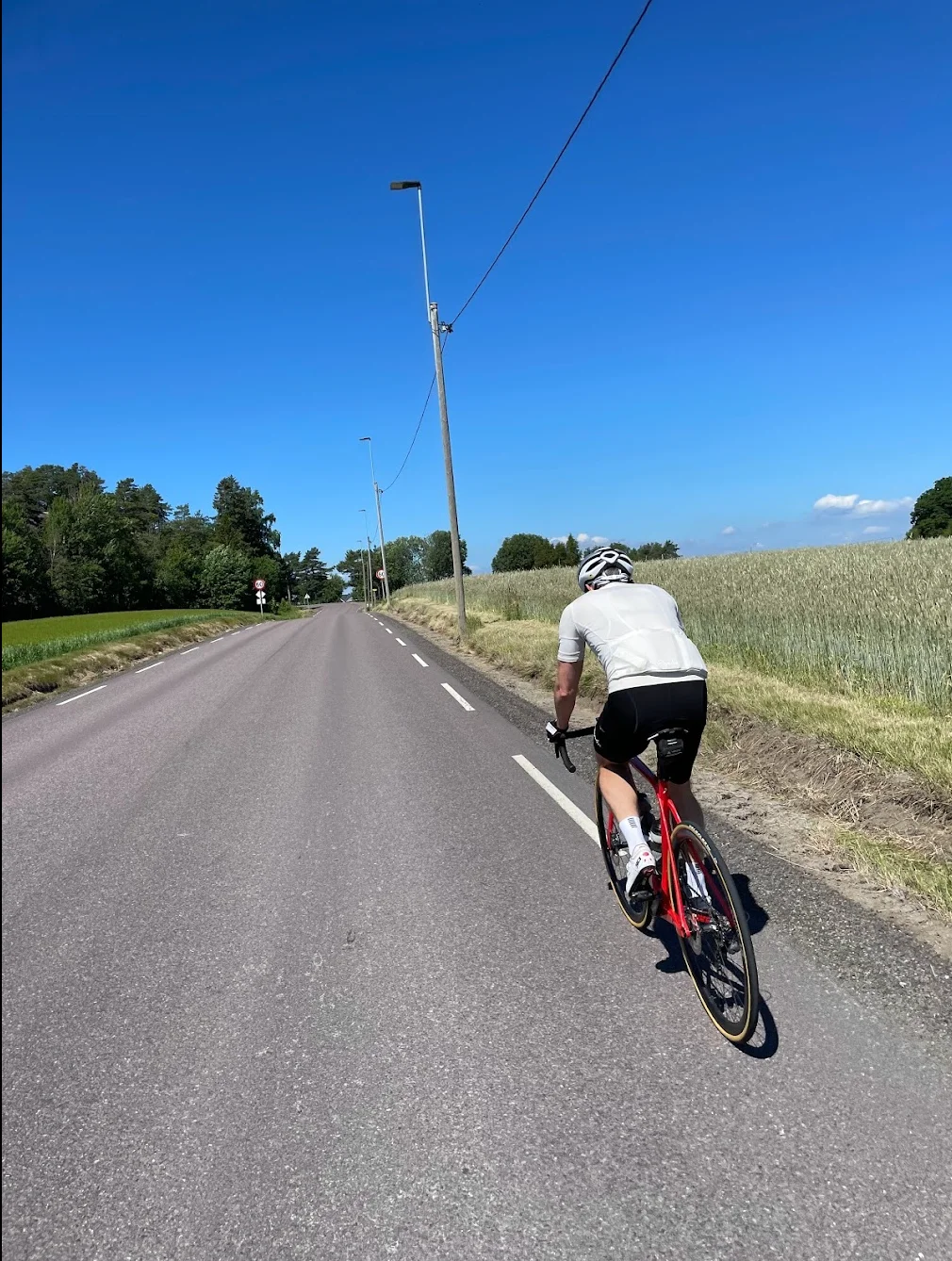
The first 29 kilometres follow Kystruta, national cycle route 1. It's signposted with red markers all the way from Sandefjord, and the terrain is easy. You pass Kaupang around km 16 — Norway's first town, from the Viking Age — and roll into Larvik at km 20. Bøkeskogen is a short detour away if you want to see the world's northernmost beech forest.
Stavern comes at km 29. White wooden houses, narrow streets and Fredriksvern Verft down by the harbour. From here Helgeroveien runs west along the coast, and the next twelve kilometres are the finest stretch of the whole ride. Kyststien runs parallel here, but it's a walking trail — parts of it aren't suitable for a bike at all, and we stay on the road.
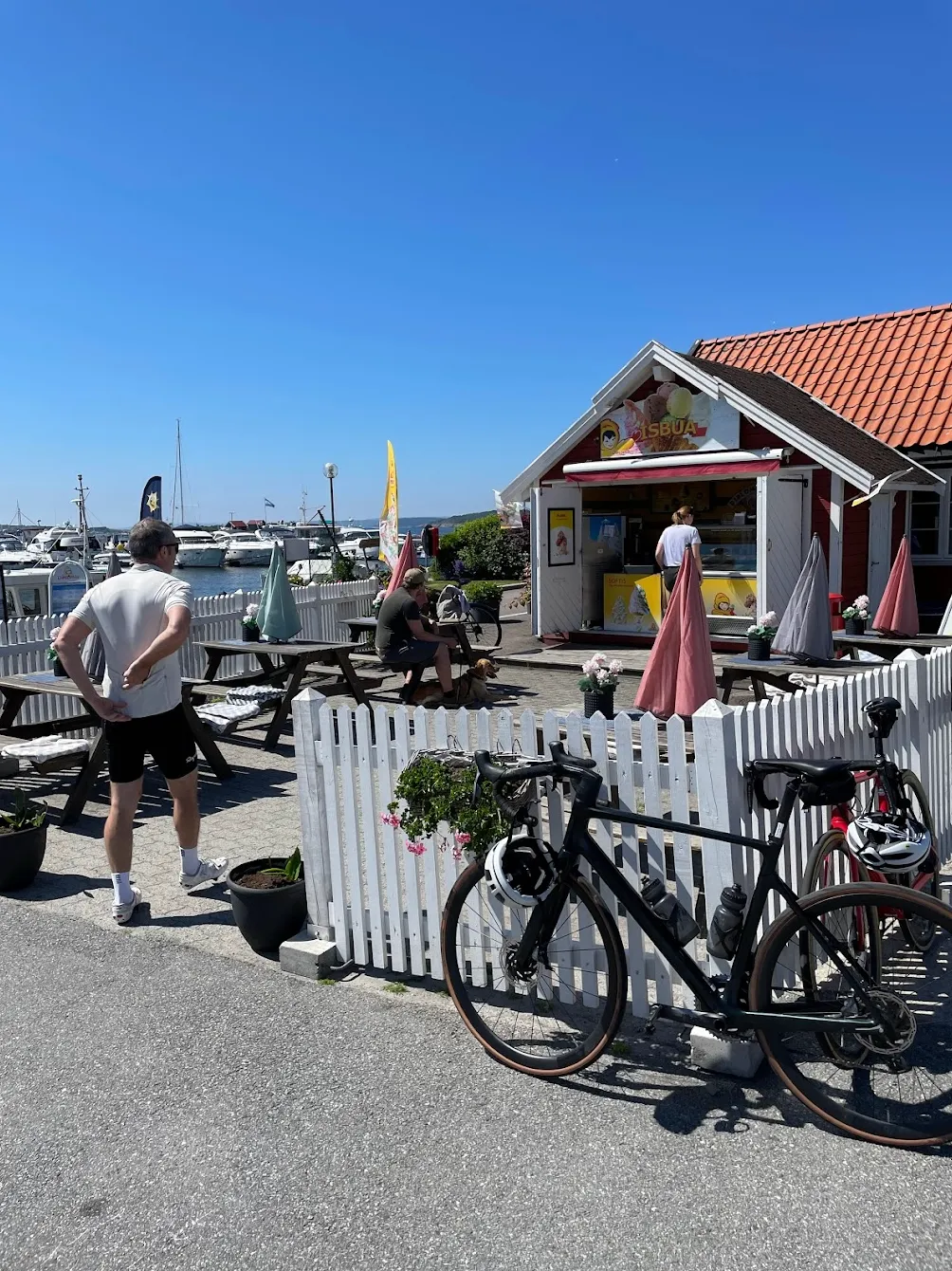
Helgeroa at km 41 is the turning point, and it's worth stopping there. We ate at Helgeroa Marina down by the harbour. Not just because the place is good — it's the last proper stop for 64 kilometres. From here the route turns inland, and the ride changes character completely.
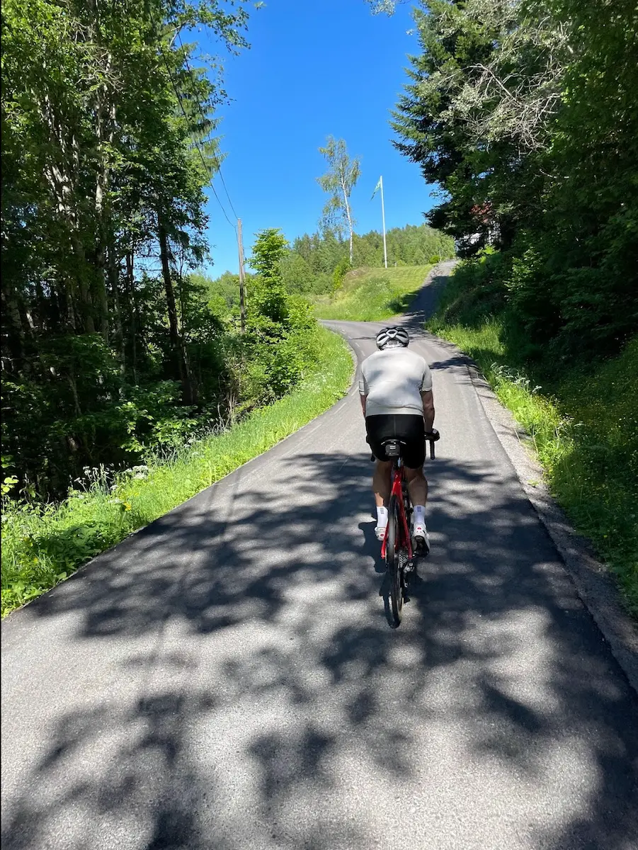
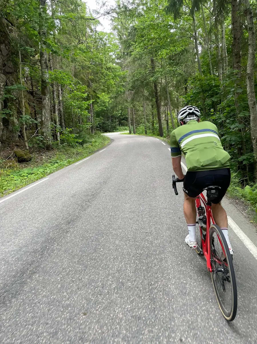
From Tveidalen it climbs steadily into Porsgrunn and Siljan. The traffic disappears, and from Oklungen at km 66 it turns to gravel — twelve kilometres of good surface that rides fine on 28mm tyres. The high point of the day is up here, 179 metres, and it's the loneliest part of the ride. The tarmac returns just before Austad at km 78.
From there it drops down along Farrisvannet and through Kvelde at km 105, the first shop since Helgeroa. The last 25 kilometres through Hedrum and Ringdal are quiet farm roads back to Sandefjord. A long day, and one of the more varied ones in Vestfold.

Kilometre by Kilometre
From Strandpromenaden south along Kystruta, national cycle route 1. Past Tjølling and Kaupang — Norway's first town, from the Viking Age — and into Larvik at km 20. Signposted the whole way, and easy terrain.
Through Larvik and on south towards Stavern. Bøkeskogen, the world's northernmost beech forest, is a short detour off the route. Stavern at km 29 is one of Norway's best-known coastal towns, with Fredriksvern Verft down by the harbour.
Helgeroveien west along the coast. This is the finest stretch of the ride, and it's public tarmac the whole way — Kyststien runs parallel, but it isn't a cycle path. Helgeroa at km 41 is the last place with food before the return.
From Helgeroa the route turns inland through Tveidalen and into Porsgrunn municipality. The terrain climbs steadily and the traffic disappears. This is where the long, empty half of the ride begins.
Twelve kilometres of gravel from Oklungen to just before Austad. Good surface, perfectly rideable on 28mm tyres. The high point of the day sits here, 179 m, in the middle of the longest stretch without resupply.
Back on tarmac down along Farrisvannet, through Kvelde at km 105 — the first shop in 64 kilometres — and on through Hedrum and Ringdal to Sandefjord.
Gallery
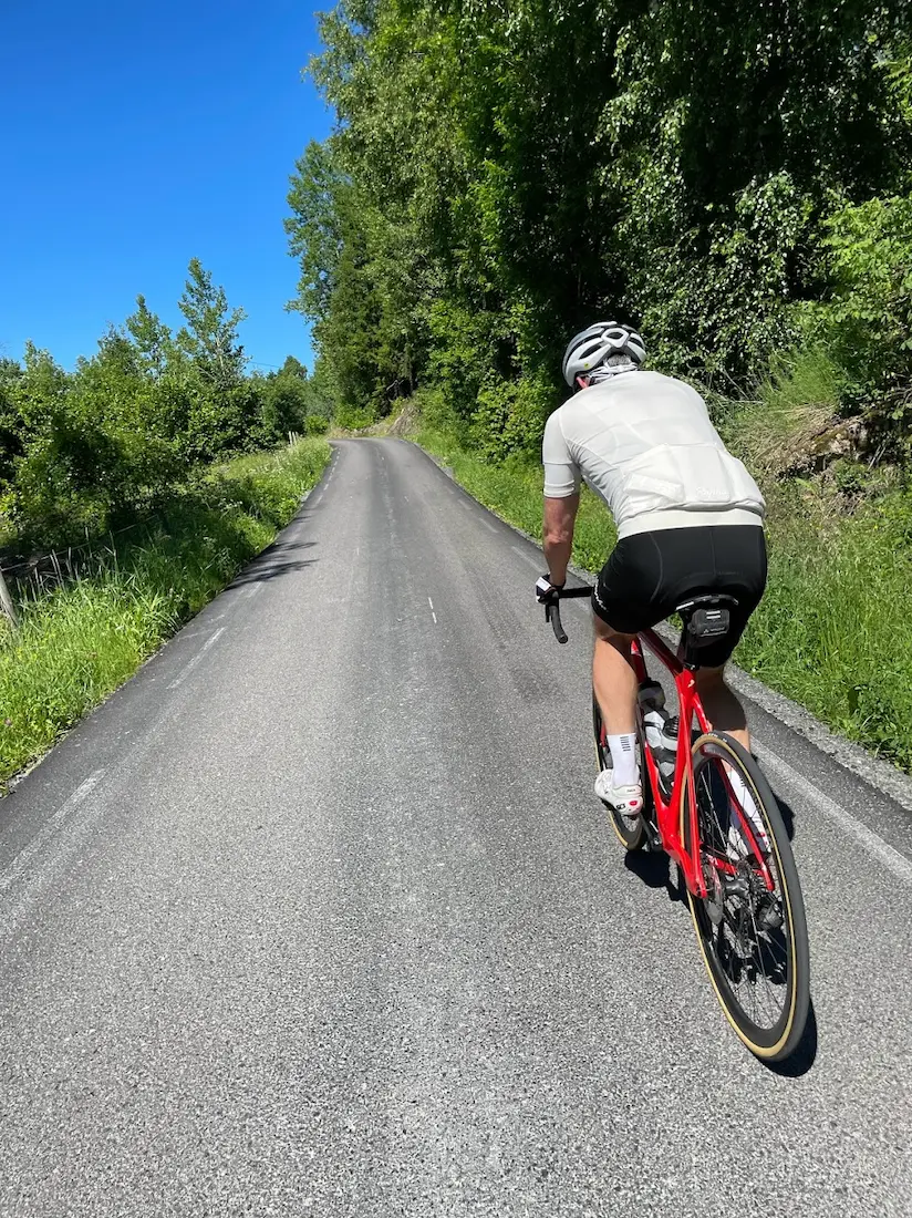
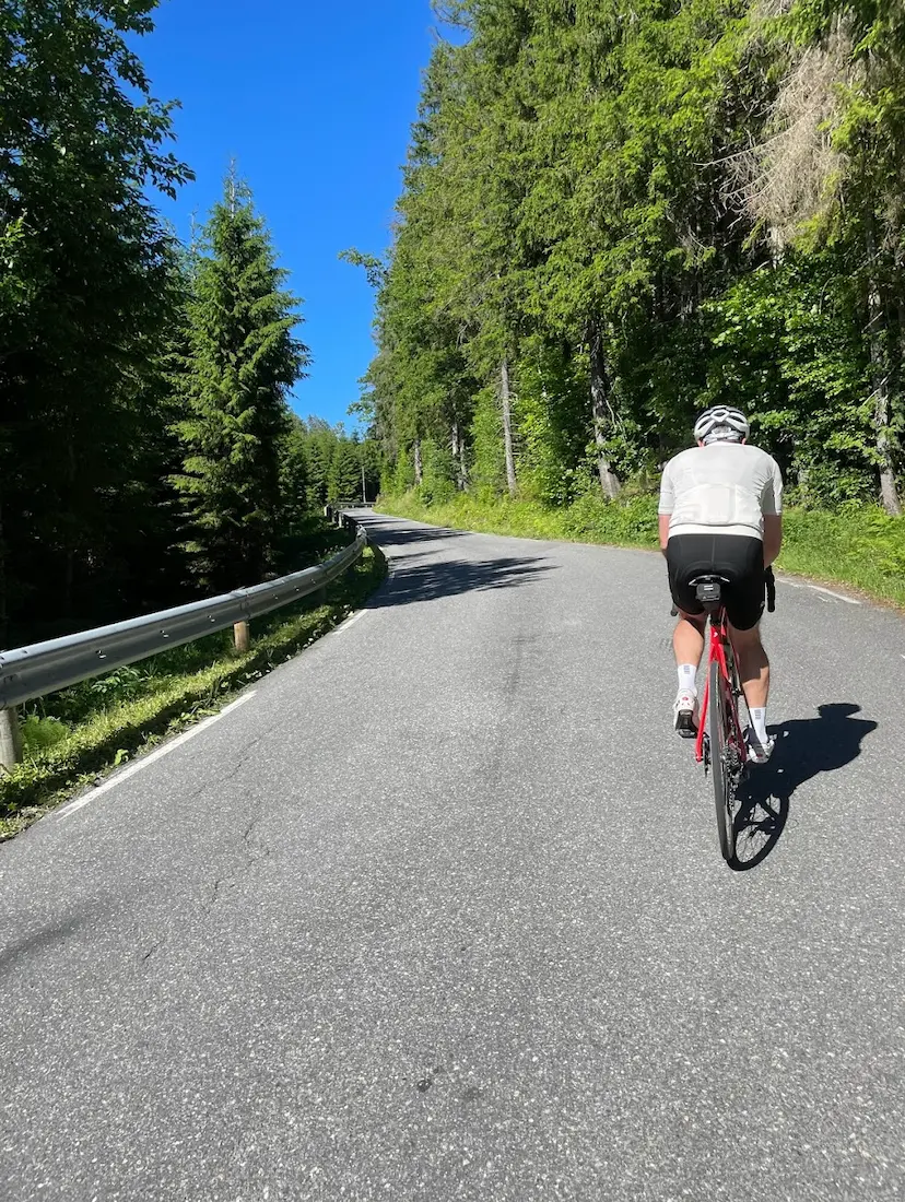
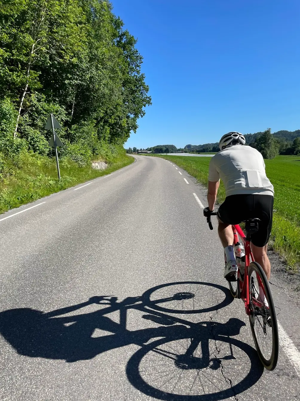
Route map & elevation profile
Key Climbs
Markaveien (full climb)
Cat 4Highlights
- •The first 29 kilometres follow Kystruta, national cycle route 1. Signposted with red markers all the way from Sandefjord, and easy terrain out of the city.
- •Stavern at km 29 — white wooden houses, narrow streets and Fredriksvern Verft down by the harbour, 47 metres from the road you're riding on.
- •Helgeroveien from Stavern to Helgeroa is twelve kilometres of coast road and the finest stretch of the ride. Kyststien runs parallel, but it's a walking trail.
- •From Oklungen at km 66 it turns to gravel for twelve kilometres, climbing to the high point of the day at 179 m. The loneliest and most distinctive part of the loop.
- •Kaupang at km 16 is where Norway's first town stood, in the Viking Age. You ride past it on the way out.
Must know
- ⚠From Helgeroa at km 41 to Kvelde at km 105 there are 64 kilometres with no shop or café. Stock up at Helgeroa — it's the last chance.
- ⚠Twelve kilometres of gravel from Oklungen to just before Austad. Good surface, and 28mm tyres are plenty.
- ⚠The route splits into two completely different halves. The first is coast and small towns, the second is forest and climbing. Plan the day around that.
- ⚠Kyststien between Stavern and Helgeroa is not a cycle path — parts of it aren't suitable for a bike at all. This route uses Helgeroveien instead, public tarmac all the way.
- ⚠Best from April to October. The first half runs close to the coast and is exposed to wind, and it's cooler out on Helgeroveien than in Larvik.
Café & Water
- km 41Helgeroa Marinaevery day 09–22
Down by the harbour at the turning point. The last proper stop before the 64 kilometres inland.
Frequently asked questions
- Can I ride Kyststien from Stavern to Helgeroa?
- Not all of it. Kyststien Brunlanes is a walking trail of around 34 kilometres, and parts of it aren't suitable for a bike. This route follows Helgeroveien instead — public tarmac the whole way, the same stretch, twelve kilometres.
- Is this the same as Kystruta?
- Partly. The first 29 kilometres from Sandefjord to Stavern follow Kystruta, national cycle route 1 from Oslo to Kristiansand. From there this route continues out to Helgeroa and turns inland, while Kystruta carries on south.
- How far is Stavern to Helgeroa by bike?
- Twelve kilometres on Helgeroveien, from km 29 to km 41 on this loop. It's the finest stretch of the ride, and Helgeroa is the turning point.
- Where can I resupply?
- Larvik at km 20, Stavern at km 29 and Helgeroa at km 41 all have several options. After that it's 64 kilometres to Kvelde at km 105. Plan accordingly.
- Do I need a gravel bike?
- No. The twelve kilometres from Oklungen have a good surface, and 28mm tyres are plenty.
- How hard is it?
- 131 kilometres with 1,896 metres of climbing and no climb above 179 m. It's marked hard because of the distance and the long stretch without resupply, not because of the gradients.
Know a better line?
Submit your local route and get featured with your own author profile, Strava, Instagram and Buy Me a Coffee link.
Share a Route → →Similar routes
Sandefjord — Tønsberg & Hvittingfoss Loop
Same Sandefjord base — different direction (north into Tønsberg country)
Sandefjord — Hvittingfoss & Steinsholt Loop
Same Vestfold inland — harder finish via Steinsholt
Oslo Cycling — Son Loop
Adjacent fjord-side region — Oslofjord south to Son