
Jotunheimen Cycling — Jotunheimvegen & Valdresflye Loop
About this Route
← Gudbrandsdalen Cycling GuideA spectacular loop from Vinstra combining two of Norway's most celebrated mountain roads. Jotunheimvegen — a 45km gravel toll road through Jotunheimen National Park — climbs to the high plateau with views of Norway's highest peaks. Valdresflye, the Norwegian Scenic Route crossing Norway's second-highest mountain road at 1,389m, returns through open alpine terrain with Jotunheimen's peaks on the horizon. 181 kilometres, 2,676 metres of climbing.
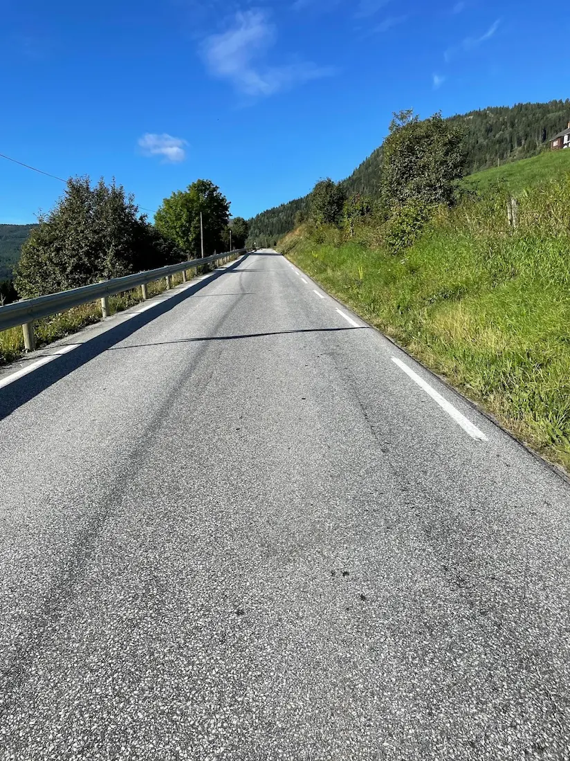
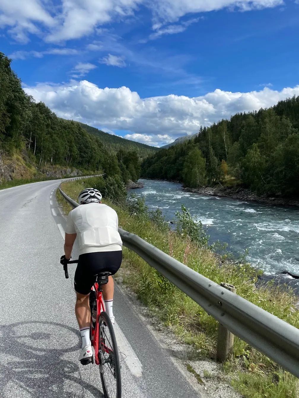
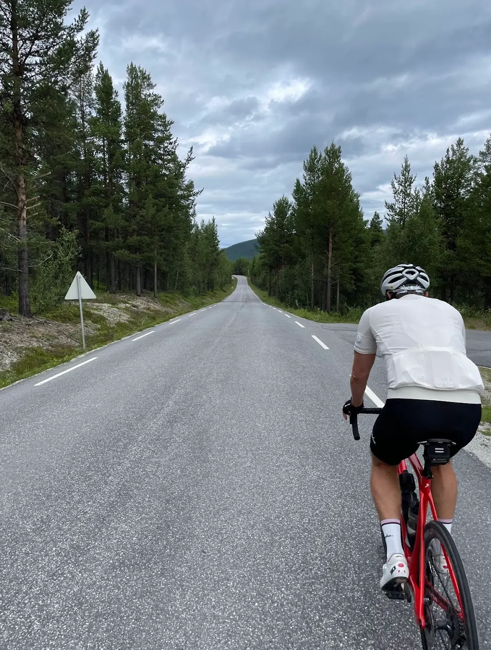
From Vinstra the route heads southwest through Espedalen, climbing steadily out of the Gudbrandsdalen valley. The road narrows and the forest thickens as you gain altitude — by km 25 you are at 800 metres and the landscape has shifted from valley farmland to mountain terrain. There is a brief descent before the Jotunheimvegen toll road begins, and this is where the ride changes gear entirely.
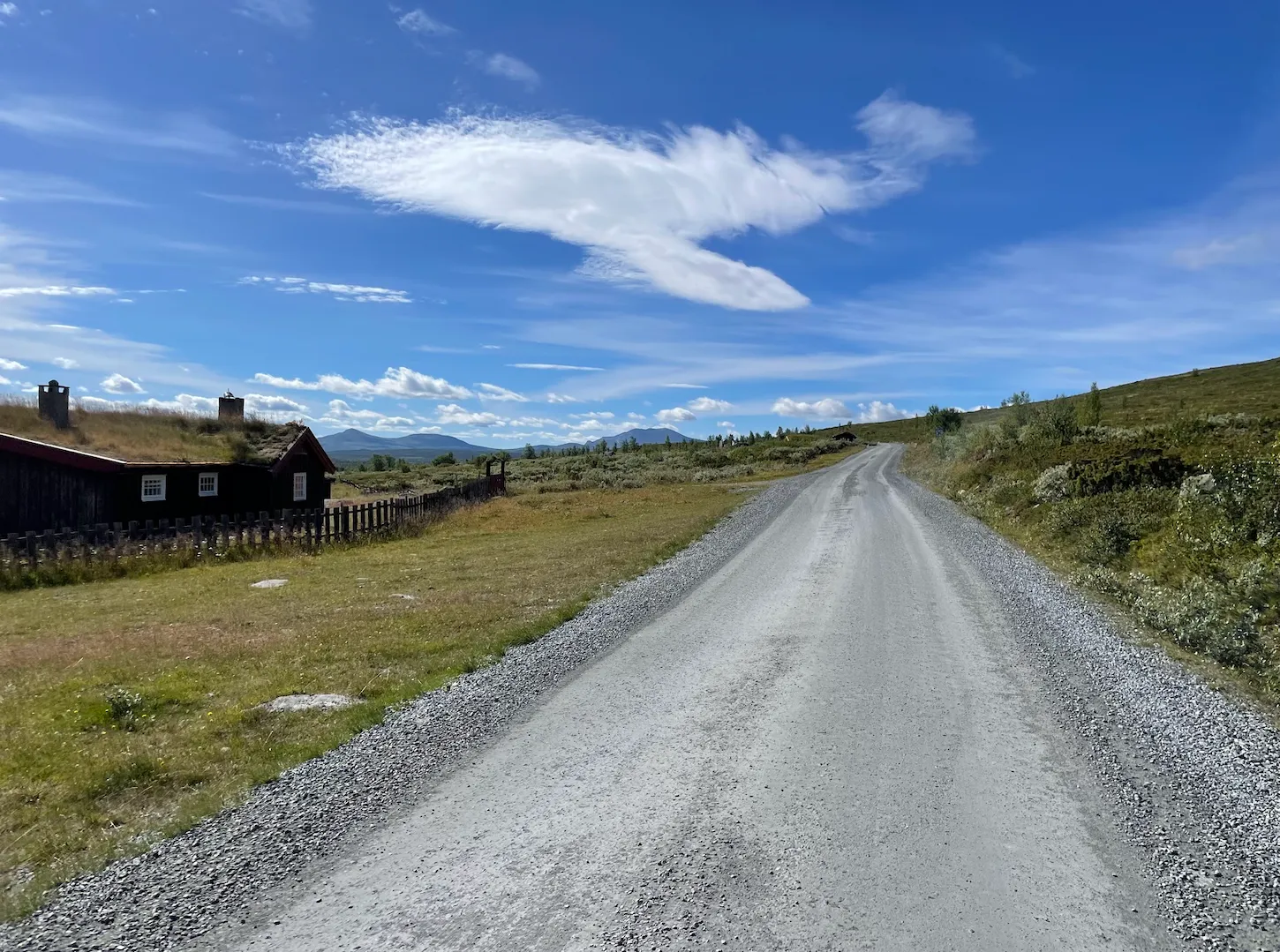
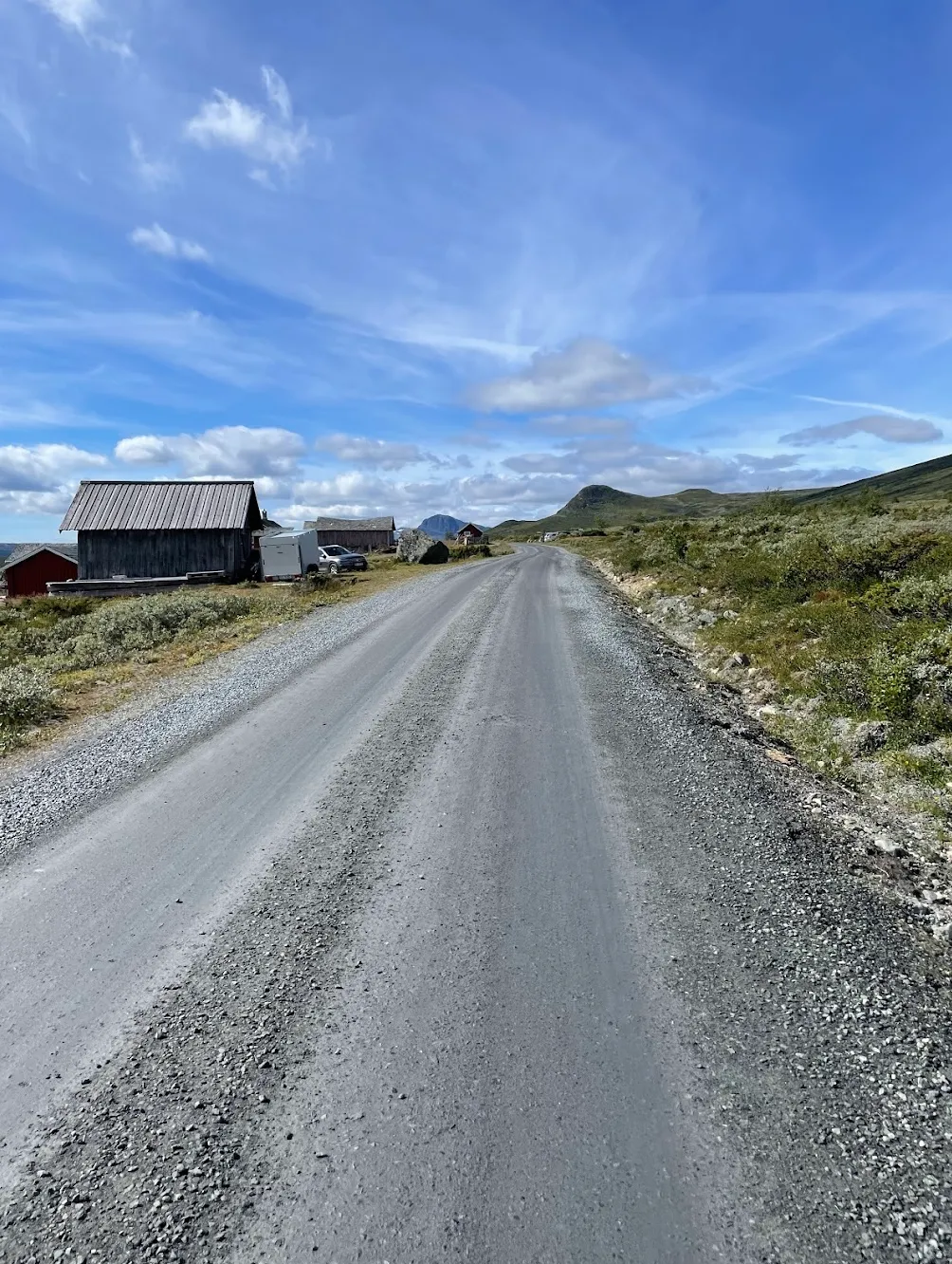
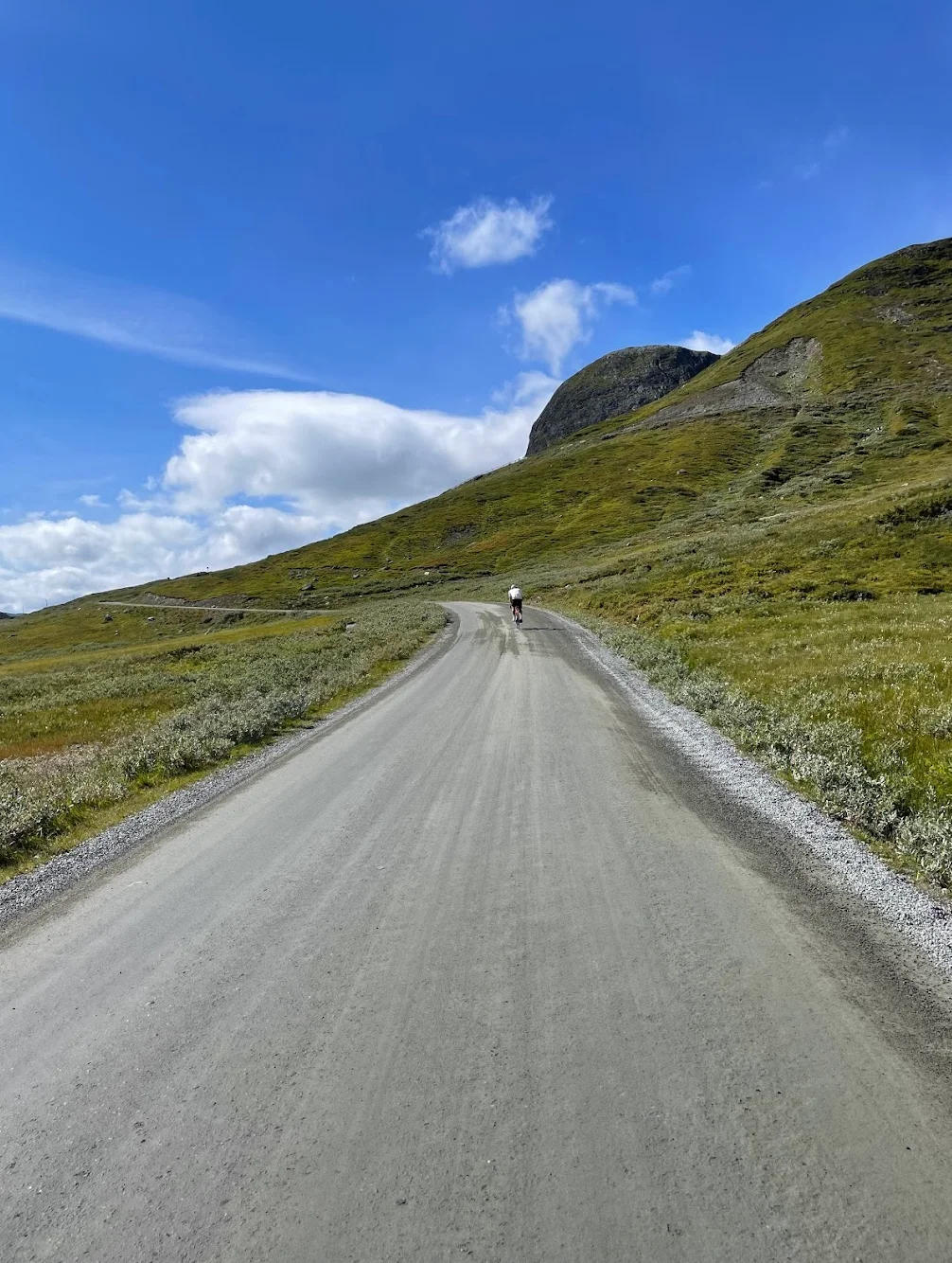
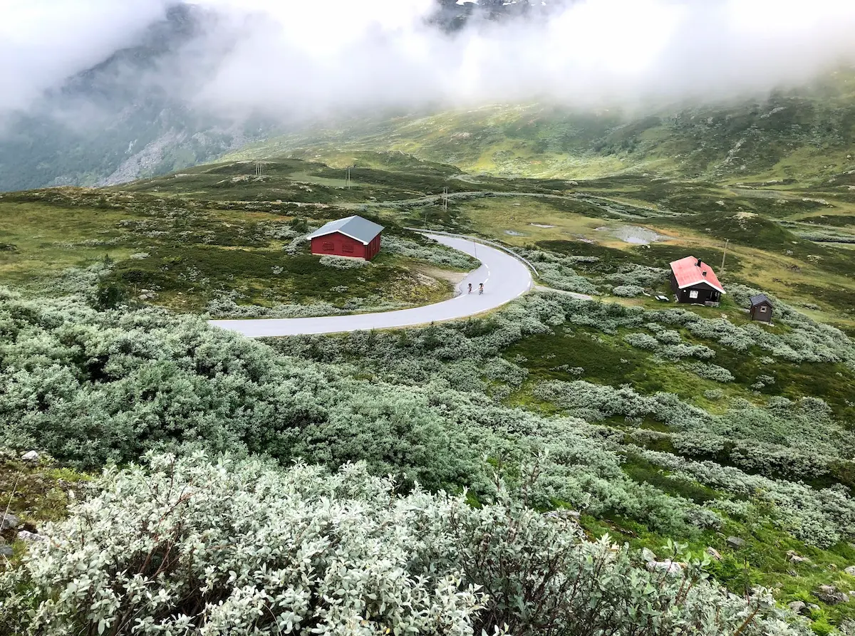
Jotunheimvegen is 45 kilometres of gravel through Jotunheimen National Park, built in 1950 and free for cyclists. The surface is well-maintained but firm — proper gravel, not smooth tarmac — and the traffic is almost nonexistent. When I rode this, I did not see another cyclist for the entire Jotunheimvegen section. Mountain farms appear at intervals, small clusters of weathered timber buildings set against an enormous backdrop of peaks. Haugseter Fjellstue arrives around km 65 and is a stop I would not skip — proper mountain lodge food in a setting that feels untouched by the modern world.
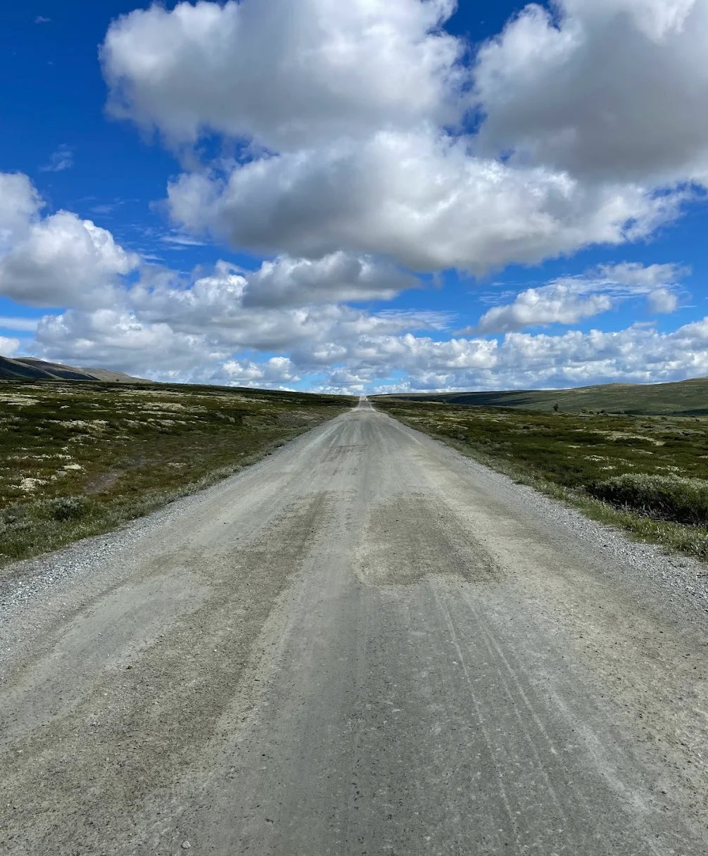
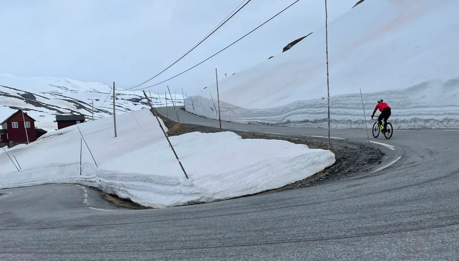
From the end of Jotunheimvegen the route joins Fv51 at Bygdin and begins the climb to Valdresflye — Norway's second-highest public road at 1,389 metres. The day I was here, there were reindeer grazing right next to the road on the upper plateau. The Valdresflya Kafé at the summit is perfectly placed for coffee and a breather, with panoramic views across the Jotunheimen peaks that are genuinely hard to leave. The descent from the plateau is long and fast — the road drops back into the valley through Randsverk, where there is a welcome food stop around km 130, before the final stretch back to Vinstra along the Gudbrandsdalen valley floor. One of the great mountain rides in Norway.
Kilometre by Kilometre
From Vinstra the route heads into the mountains through Espedalen. The road climbs gradually through forested terrain before the Jotunheimvegen toll road begins.
A 45km gravel toll road through Jotunheimen National Park. Almost no traffic, mountain farms, and views of Norway's highest peaks. At around km 65, Haugseter Fjellstue is an excellent stop for food and drink in a traditional mountain lodge setting — highly recommended.
From Bygdin the route joins Valdresflye — Fv51 — crossing Norway's second-highest mountain road at 1,389m. Open alpine plateau with panoramic Jotunheimen views. The Valdresflya Kafé at the summit is a mandatory stop.
At around km 130, Randsverk is a welcome food stop before the final descent. From here the route descends back through the Gudbrandsdalen valley to Vinstra.
Gallery
Route map & elevation profile
Key Climbs
Liajordet (Jotunheimvegen)
Cat 3Vestresætra Opp
Cat 3Highlights
- •Valdresflye at 1,389 m — Norway's second-highest mountain pass, after Sognefjellet at 1,434 m.
- •45 kilometres of gravel over Jotunheimvegen through Jotunheimen National Park, built in 1950. Almost no cars.
- •One loop, two completely different roads: gravel on the way out, Norwegian Scenic Route on tarmac coming back.
- •Haugseter Fjellstue at km 66 — food on the gravel section, with views out over Vinstre.
- •Reindeer graze on the plateau and frequently cross the road on Valdresflye.
Must know
- ⚠Jotunheimvegen usually opens in late June, Valdresflye already around Easter. The loop therefore only works from late June to October — check when Valdresflya opens before you go.
- ⚠The toll on Jotunheimvegen reads number plates automatically and applies to cars — cyclists pass for free.
- ⚠45 km of gravel: 28–32 mm tyres minimum. The surface is well maintained but firm.
- ⚠Three stops along the way: Haugseter Fjellstue km 66, Valdresflya Kafé km 85, Randsverk km 131. The gaps between them are long.
- ⚠181 km with 2,676 metres of climbing is a full day — start early, especially late in the season when it gets dark before eight.
- ⚠Watch for reindeer on Valdresflye. They cross the road without looking.
Café & Water
- km 66Haugseter Fjellstue
Mountain lodge in the middle of Jotunheimvegen, right by the road, with views out over Vinstre.
- km 85Valdresflya Kafé
At the top of Valdresflye, open 10–19. The view across Jotunheimen is why people stay sitting.
- km 131Randsverk Kafeteria
Open 11–18, the last stop before the final stretch back to Vinstra.
Frequently asked questions
- Is Jotunheimvegen free to cycle?
- Yes. The toll applies to motor vehicles and is charged by automatic number plate recognition — bikes pass without paying.
- When can the loop be ridden?
- From late June to October. Valdresflye opens earlier, around Easter, but the gravel on Jotunheimvegen holds snow longer. Both have to be open.
- Can it be done on a road bike?
- On 28–32 mm tyres, yes. Jotunheimvegen is firm gravel, not loose. On 25 mm those 45 kilometres get long.
- Which direction should I ride the loop?
- From Vinstra heading southwest through Espedalen. That way you take the gravel on fresh legs and leave the tarmac over Valdresflye and the long descent for the end.
- How high is Valdresflye?
- 1,389 m. That makes it Norway's second-highest mountain pass — only Sognefjellet at 1,434 m is higher.
Know a better line?
Submit your local route and get featured with your own author profile, Strava, Instagram and Buy Me a Coffee link.
Share a Route → →Similar routes
Rondane National Park Cycling Loop — Grimsdalen & Venabygdsfjellet
Same Gudbrandsdalen region — Rondane high country instead of Jotunheimen
Lom - Sognefjellshytta
Same Lom area — Sognefjellet pass instead of Valdresflye
Sognefjellet & Tindevegen
Wedge 1 epic — full Sognefjellet-Tindevegen loop
Route Details
- Country
- Norway
- Region
- Gudbrandsdalen
Elite level. Extreme elevation, altitude and distance. Serious preparation required.