Oslo Cycling — Maridalen Loop
About this Route
← Oslo & Oslofjord Cycling GuideThe most popular training loop in Oslo — Maridalen is where the city's cyclists, runners and roller skiers come to train. A 20-kilometre loop through the beautiful Maridalen valley north of the city, on smooth asphalt with virtually no traffic.
Maridalen is a natural oasis just minutes from the city centre — a protected agricultural valley surrounded by forest, and the source of the Akerselva river that flows down through the city. The roads are well-maintained and the scenery is stunning in every season.
At 20 kilometres with 270 metres of climbing, this is the perfect route for a quick training spin, a recovery ride, or simply enjoying one of Oslo's finest natural areas. Many riders do multiple laps to build distance — the valley never gets old.
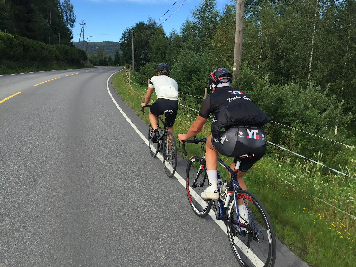
If you cycle in Oslo, you know Maridalen. It's the loop everyone rides — runners, roller skiers, club cyclists, weekend warriors — and for good reason. Twenty kilometres of smooth asphalt around one of the most beautiful lakes in the city, with almost no cars to worry about. I don't ride it as often as some, but when I do — sometimes in combination with the climb up Grefsenkollen — it reminds me why it's such a classic.
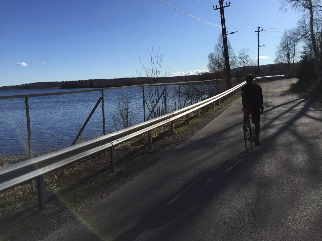
The loop starts at the southern end of Maridalsvannet and head north along the western shore. The road hugs the lake closely here, with open views across the water to the forested hills on the far side. At Hammeren, just over three kilometres in, the old industrial buildings sit quietly by the river — a reminder that this valley was once a working landscape. The riding is gentle, with only short undulations, and the rhythm comes easily.
Around the four-kilometre mark the ruins of Margaretakirken sit in a clearing just off the road — a medieval church from the 1200s, reduced to low stone walls in a peaceful meadow. It's worth knowing it's there, even if you don't stop every time. The road continues north through farmland towards the head of the lake, where the valley widens and the terrain opens up.
The northern end of the loop is the quietest section — fewer people, deeper into the valley. You cross to the eastern shore and begin heading south on the higher road, which climbs noticeably. The eastern side is more demanding than the western — rolling hills that gain and lose height repeatedly — but the views down to the lake from up here are the reward. The maximum elevation is around 236 metres, and on a clear day you can see the whole length of Maridalsvannet stretching south.
The final kilometres bring you back down to the lake level and around to the starting point. Most regulars don't stop at one lap — three gives you sixty kilometres with almost no traffic, and the valley looks different in every light. The valley looks different in every light.
Kilometre by Kilometre
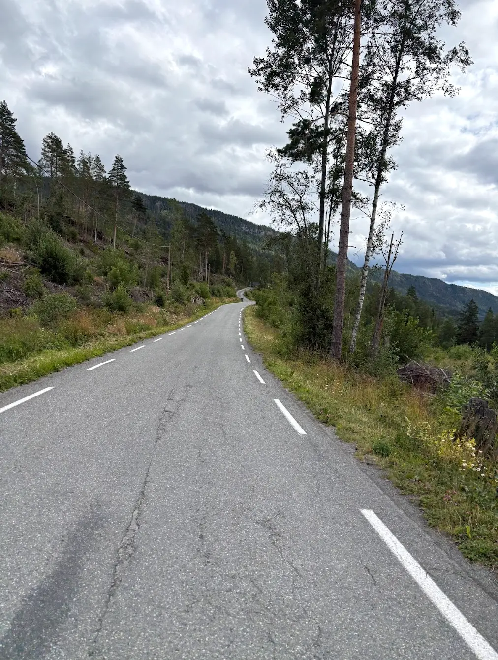
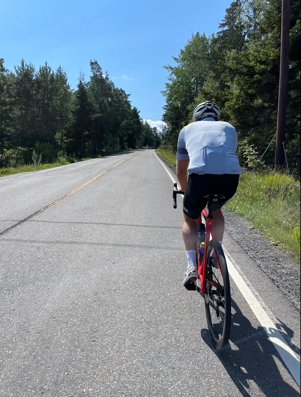
The route follows the valley road north through Maridalen. Smooth asphalt, minimal traffic and beautiful scenery on all sides. Gentle rolling terrain with nothing too demanding.
The return leg brings you back south through the valley. Many riders immediately turn around for another lap — Maridalen rewards multiple visits.
Route map & elevation profile
Highlights
- •The ruins of Margaretakirken sit four kilometres in, at the northern end of Maridalsvannet, right beside the road. The stone church dates from around 1250 and was excavated and restored in 1934 — one of the few medieval remains left in Oslo. Half a kilometre further on stands Maridalen kirke, the wooden church from 1900.
- •Maridalsvannet supplies drinking water to nine out of ten people in Oslo, and the whole valley is protected. That's why you ride past fields and forest rather than housing, ten minutes from the city centre.
- •Past Skar the road tilts up. Sandermosveien climbs for a kilometre at just under seven per cent to the high point of the route at 236 metres. After that it levels out, and Greveveien takes you south along the eastern shore.
- •This is the most used training stretch in Oslo. You'll always meet others — cyclists, runners, roller skiers — and the loop is short enough that plenty of people do two or three.
Must know
- ⚠The Sandermosveien climb comes at kilometre ten, just after Skar. A kilometre at just under seven per cent, with the steepest part around eight. Save something for it.
- ⚠There's no café or shop on the route itself, so fill your bottles before you set off. Grains Frysja on Frysjaveien is a few hundred metres from the start and finish — worth knowing about for a coffee afterwards.
- ⚠Maridalsvannet is a drinking water source, and the rules are stricter than most people expect. No swimming, no fishing, and you're not allowed to stop within fifty metres of the water. It's patrolled. Take your break on the road, not at the shore.
- ⚠Skar has parking and a public toilet, but no service of any kind. Don't count on buying anything there.
- ⚠You're sharing the road with runners and roller skiers. Hold your line and call out when you come past.
Frequently asked questions
- How long does the Maridalen loop take?
- Reckon on 30 to 75 minutes of riding, depending on form and how hard you take the Sandermosveien climb.
- Is it suitable for beginners?
- Yes, with one caveat. 20 kilometres and 270 metres of climbing is manageable for most people, but Sandermosveien is a kilometre at just under seven per cent. With low enough gears it's fine.
- Do I need a gravel bike?
- No, the whole loop is tarmac. Note that there's also a gravel loop around Maridalsvannet — that's a different ride, and it needs a different bike.
- Can I swim in Maridalsvannet?
- No. The lake supplies drinking water to most of Oslo and swimming is prohibited. You're also not allowed to stop within fifty metres of the shore.
- Can I get to the start without a car?
- Yes. Kjelsås has both a tram stop and a train station on the Gjøvik line, and it's a short way into the valley from there.
Know a better line?
Submit your local route and get featured with your own author profile, Strava, Instagram and Buy Me a Coffee link.
Share a Route → →