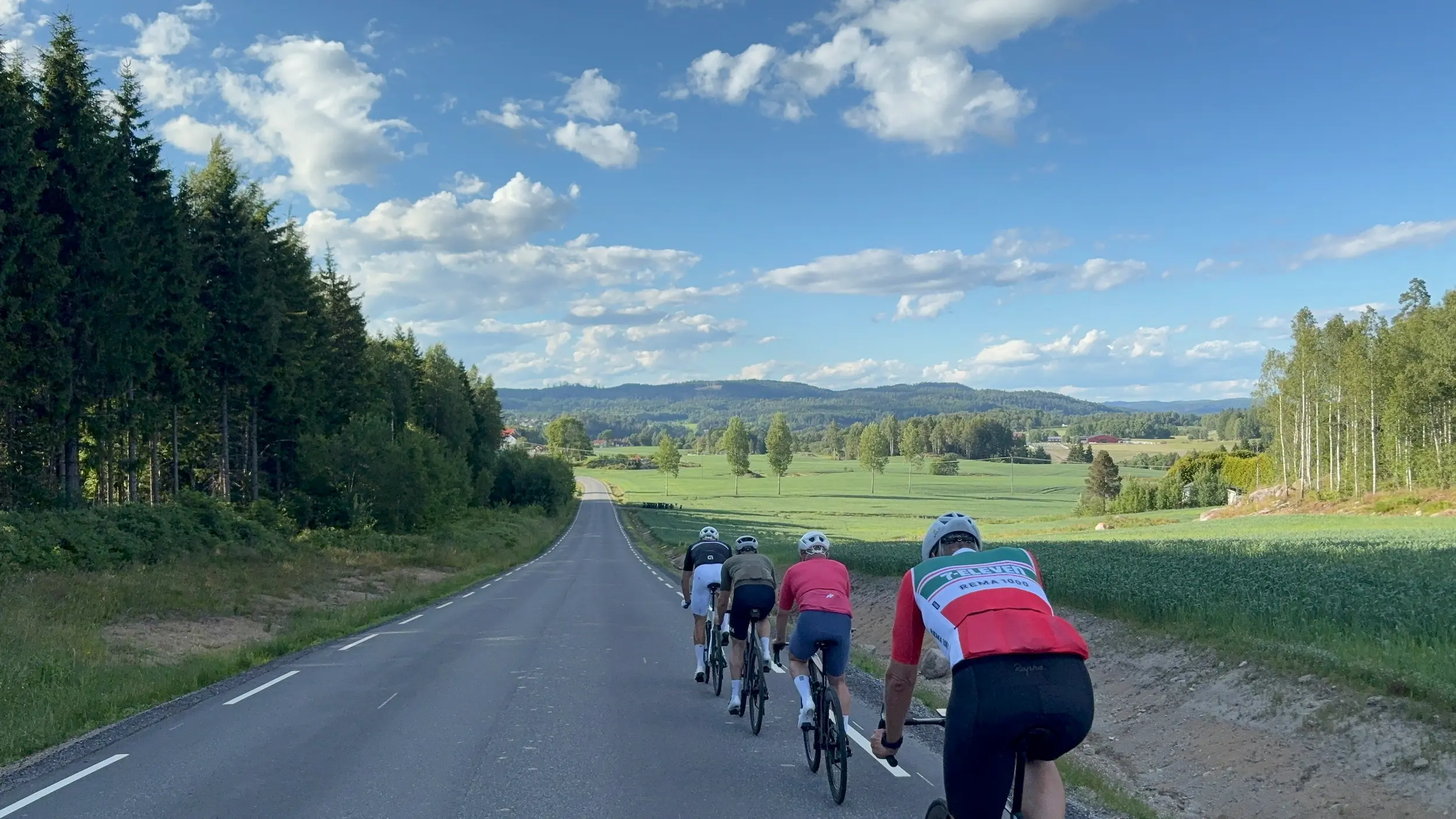
Oslo Cycling — Slitu & Askim Loop
About this Route
← Oslo & Oslofjord Cycling GuideSlitu and Askim is 144 kilometres east from Oslo, with 1,938 metres of climbing and no categorised climbs at all. It's the distance that makes it hard, not the hills.
The middle of the route runs through the grain country east of the Glomma, around Askim and Slitu — small rural roads with little traffic, a long fast descent towards Slitu, and 3.7 kilometres of gravel on Revaugveien and Skjoldenveien. The way home crosses Tomterbakken and cuts through Follo on roads the Follorittet uses every May, and the last stretch into Oslo runs with the fjord in view.
Slitu and Askim is 144 kilometres with 1,938 metres of climbing, and it's the distance that makes it hard rather than the hills. There isn't a single categorised climb on the whole route, and the high point is 193 metres. For me this is the change from the usual Follo loops: the middle section runs through the grain country east of the Glomma, around Askim and Slitu, on small rural roads with barely any traffic.
Out of the city
You start by climbing Svartdalsveien. A nice little climb right at the beginning, with a view back over Oslo, and it gets the legs going straight away. On over Ryen and Abildsø to Skulleruddumpa, and from there it's cycle path all the way to Klemetsrud at km 12. Turn off at the Uno X. Plenty of routes out of town carry on along Enebakkveien, but the road we take is flat and rolling with a couple of short ramps, and far less traffic.
After Siggerud at km 18 the road narrows through the forest, and at Ytre Enebakk at km 33 you come out along Mjær. The terrain is flat and rolling, and you hold good speed without putting much into the pedals. It's the best riding so far and it costs you nothing.
Mjærvannbakken
Mjærvannbakken starts at km 39. 1.3 kilometres at 5.9 per cent, with sections above 12. It's the steepest thing on the route and it comes early. Hold something back — there's over a hundred kilometres left after the top.
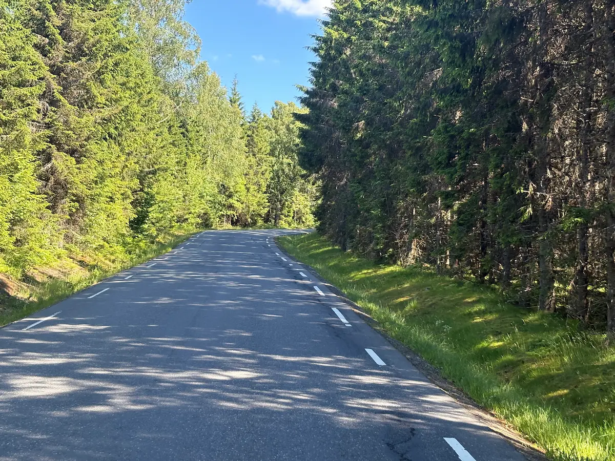
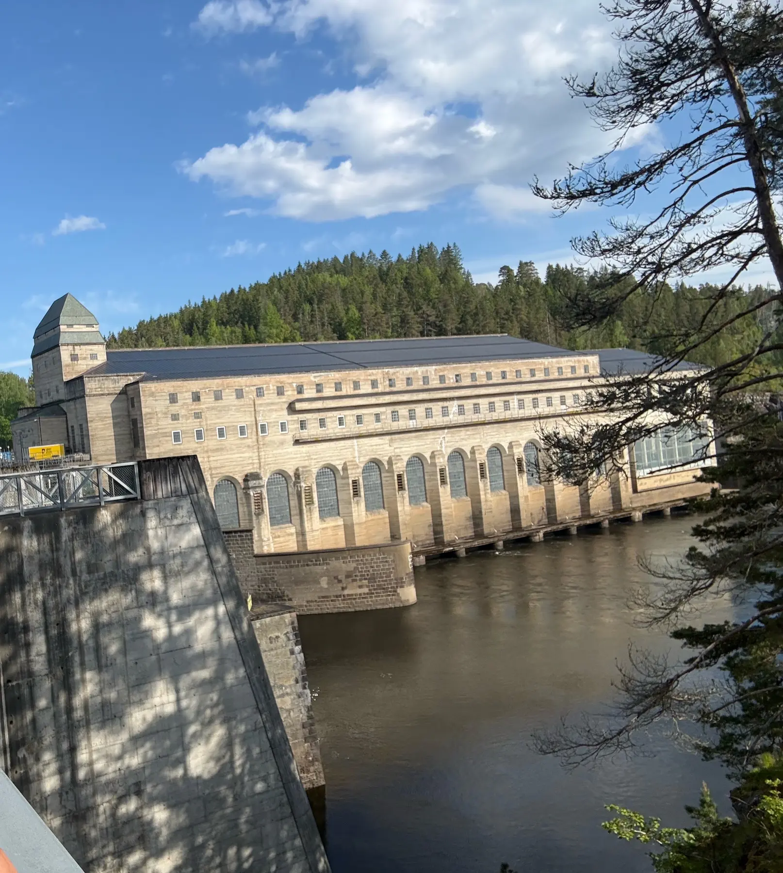
Over the crest you have Lyseren on your left, and then comes Ligotveien. Newly surfaced, narrow and quiet, farms on both sides. This is where you notice you've properly left Oslo. At km 50 you drop down to the Glomma and Solbergfoss. The power station has been running since 1924, produces around 208 MW and is owned by E-CO Energi and Statkraft. Worth a short stop.
East towards Askim and Slitu
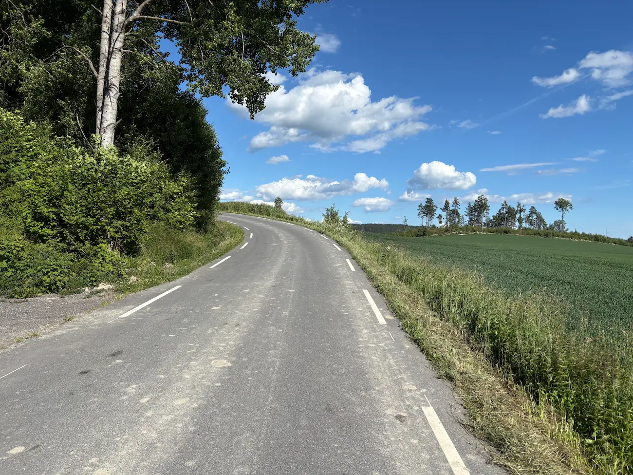
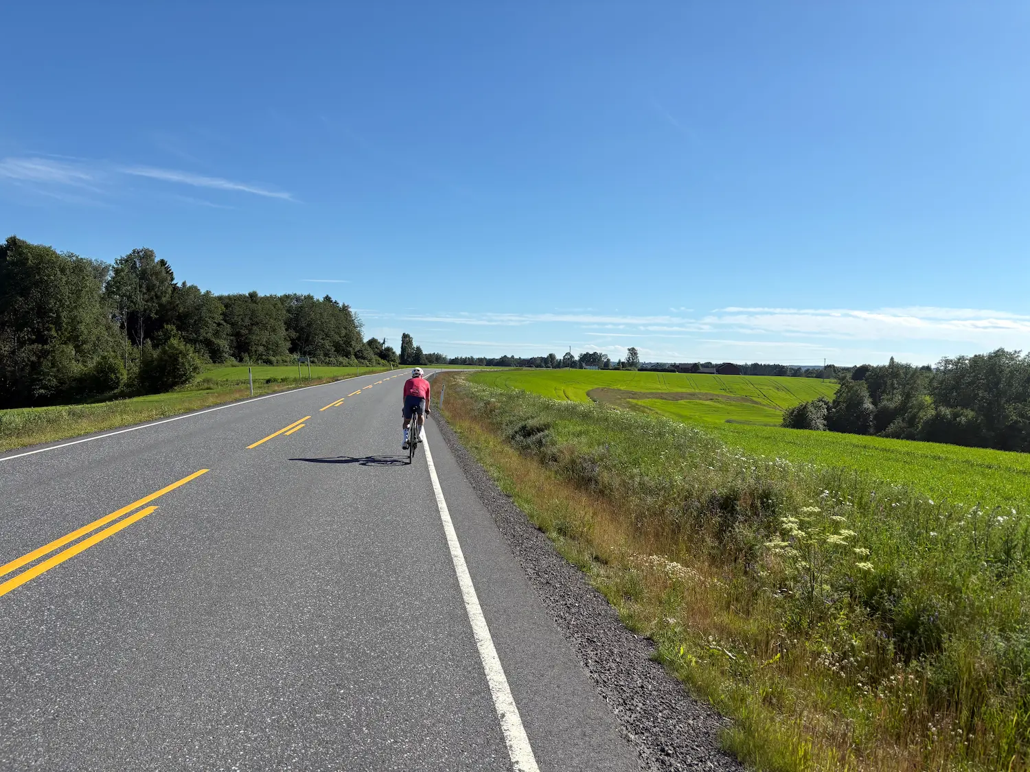
After the Glomma the terrain gets more broken, with some sharp ramps, but it's rural and quiet. Towards Askim the landscape opens up completely — wide farm roads, long sightlines, almost no cars. You get a long fast descent down to Slitu at km 63. After that you're on Rakkestadveien for a short stretch where there can be a bit more traffic, before turning off again.
And then it kicks up. You have to take back the height you just descended, and after 70 kilometres you feel it. In return you're surrounded by fields and farms and it's completely quiet. From km 71 comes Vammabakken — nearly 5 kilometres, but at 1.6 per cent average it's a long drag rather than a climb.
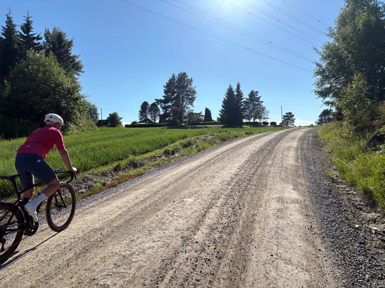
The gravel on Revaugveien
The gravel starts at km 79, on Revaugveien, and continues onto Skjoldenveien. 3.7 kilometres in total before you're back on asphalt at km 82. I rode it on 28 mm road tyres without any trouble. In June the surface was firm and fast, with some loose gravel over the crest, so take the corners carefully. You don't need a gravel bike for this route.
Spydeberg
The run in towards Spydeberg carries more traffic. If there are a lot of cars I take the cycle path, at least for the first part. You cross the Glomma again, and right after the bridge there's a rise where I take the path regardless — it runs all the way into Spydeberg at km 89. This is a good place to eat. The Esso with Deli de Luca sits right on the route. Stasjonskafeen is better, but it's a 600-metre detour each way and it's closed on Mondays. Check the opening hours before you decide.
Tomterbakken and home
After Knapstad the road climbs 50 metres, and then comes a lovely stretch — flat and gently downhill with long sightlines — into Tomter at km 96. Tomterbakken comes at km 100: 1.5 kilometres at 5 per cent, 73 metres of climbing. It isn't long, but at a hundred kilometres you notice it. It's the climb that decides the Follorittet every May.
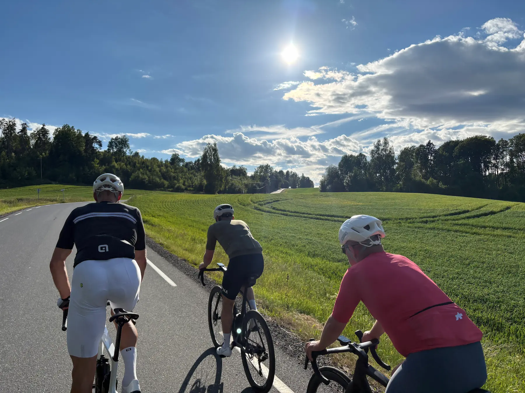
Over the top there's a genuinely fun section, flat and gently descending, quiet roads and long sightlines. Out on the flats you pass Follo flyklubb — look up. After Ski comes Eikjolveien, which is a little gem: narrow quiet roads between farms and open fields, flat with a few small ramps.
From Langhus at km 119 you're heading home, and after Siggerud you're back on the roads you came out on. At Klemetsrud you take a different way back than you came, down to Gamle Mossevei. There's cycle path the whole last stretch, with the fjord and the city in view. Refreshments at Sørenga afterwards are recommended.
Kilometre by Kilometre
Up Svartdalsveien, over Ryen and Abildsø to Skulleruddumpa. Cycle path from there to Klemetsrud at km 11.8. Turn off at the Uno X onto Siggerudveien and Skiveien — flat and rolling with a couple of short ramps, less traffic than Enebakkveien. Siggerud at km 18.3.
Narrower road through forest, little traffic. Ytre Enebakk at km 33, then Tomterveien along lake Mjær. Flat and rolling throughout. Svikebøl at km 38.
Mjærvannbakken km 39.3–40.6: 1.3 km, 5.9 %, sections above 12 %. The steepest on the route. Past Lyseren, then Ligotveien — narrow and newly surfaced — and Stegenveien down onto Solbergfossveien. Farmland, almost no cars. Solbergfoss power station at km 50.3.
Broken terrain with sharp ramps after the Glomma, then the landscape opens. Trippestadveien towards Askim, on via Eidarengveien and Mørkvedveien. Long descent on Morstongveien and Slituveien to Slitu at km 63. Short stretch on Rakkestadveien with a little more traffic. Lekumveien and Svenskebyveien climb steadily. Vammabakken km 71.5–76.4: 4.9 km, 1.6 %.
Vammaveien carries some traffic — cycle path for the short stretch. Gravel km 78.7–82.4 on Revaugveien and Skjoldenveien, 3.7 km, fine on 28 mm. Osloveien is busier, cycle path available. Spydeberg at km 88.6, food stop. Knapstad at km 95.
50 metres of climbing after Knapstad, then flat and gently downhill into Tomter at km 95.7. Tomterbakken on Kråkstadveien km 99.6–101.1: 1.5 km, 5 %, 73 m. Flat past Follo flyklubb, on via Løkenveien, Oppsandveien and Kirkeveien. Eikjolveien after Ski — narrow quiet roads between fields. Bøhlerveien to Langhus at km 119.3.
Vevelstadveien can be busy, cycle path runs alongside. Siggerud at km 124.5 and Klemetsrud at km 131.7 — the same roads as outbound. Ljabruveien to Ljan, down onto Gamle Mossevei. Cycle path the last stretch to Sørenga and the Opera House.
Route map & elevation profile
Highlights
- •Grain country east of the Glomma between Askim and Slitu — wide farm roads, long sightlines and almost no cars
- •Ligotveien after Mjærvannbakken: newly surfaced, narrow and quiet, farms on both sides
- •3.7 kilometres of gravel on Revaugveien and Skjoldenveien from km 79, entirely rideable on 28 mm road tyres
- •Solbergfoss power station on the Glomma at km 50, running since 1924
- •Eikjolveien after Ski — narrow quiet roads between farms and open fields, flat with a few small ramps
Must know
- ⚠No categorised climbs anywhere on the route. It's 144 kilometres and 1,938 metres arriving in small pieces that make the day long
- ⚠Mjærvannbakken at km 39 is the steepest on the route, with sections above 12 %. It comes early — hold something back
- ⚠The gravel from km 79 is 3.7 kilometres and fine on 28 mm, but it goes loose over the crest. Take the corners carefully
- ⚠Spydeberg at km 89 is the natural food stop. Stasjonskafeen is closed on Mondays — check opening hours before you decide
- ⚠Fill bottles in Spydeberg. It's 30 kilometres to Langhus, and the Tomterbakken stretch is exposed
- ⚠Best from March to October. This is low country and opens early, but spring mornings east of the Glomma are colder than Oslo
Café & Water
- km 88.6Esso Spydeberg (Deli de Luca)
Right on the route in Spydeberg, roughly halfway. Not a destination, but it's always open. Fill bottles here whether or not you eat.
- km 88.9Stasjonskafeen
The better stop, in the old station building 600 metres off the route. Closed on Mondays, so check the opening hours before you plan the stop here.
Frequently asked questions
- How long is the route?
- 143.87 kilometres with 1,938 metres of climbing, from the Opera House and back. Allow six to eight hours including stops.
- Do I need a gravel bike?
- No. There are 3.7 kilometres of gravel from km 79, on Revaugveien and Skjoldenveien, and 28 mm road tyres handle it fine. The rest of the route is asphalt.
- Why is it marked hard if there are no real climbs?
- Precisely because of that. There isn't a single categorised climb on the route and the high point is 193 metres — but 144 kilometres and 1,938 metres in small pieces makes for a long day.
- Where can I stop for food?
- Spydeberg at km 89 is the natural stop. The Esso with Deli de Luca is right on the route, and Stasjonskafeen is 600 metres away. Check the opening hours on the map.
- Is it the same road back?
- Partly. The middle section through Østfold is ridden once, but the way out of Oslo and the run home share roads — Siggerud and Klemetsrud are passed twice, in opposite directions.
- Is the route busy?
- The first 20 kilometres out of Oslo carry the most. Otherwise there's a short busy stretch on Rakkestadveien near Slitu, on Vammaveien before the gravel, and on Osloveien into Spydeberg — the last two have cycle paths. Vevelstadveien on the way home can also be busy.
Know a better line?
Submit your local route and get featured with your own author profile, Strava, Instagram and Buy Me a Coffee link.
Share a Route → →Similar routes
Oslo Cycling — Mørkrunden Follo Loop
Nearly the same distance and the same way out of the city, but it turns west at Spydeberg where this one carries on east to Askim and Slitu
Oslo Cycling — Son Loop
Shorter Follo day on the fjord side — no gravel, and it turns at Son rather than crossing into Østfold
Gjøvik — Oslo Gravel
The other mixed-surface route from Oslo, with considerably more gravel and a point-to-point profile