Rondane National Park Cycling Loop — Grimsdalen & Venabygdsfjellet
About this Route
← Gudbrandsdalen Cycling GuideA grand loop around Norway's first national park. From Vinstra in Gudbrandsdalen, the route climbs into the wild Grimsdalen valley — one of Norway's most beautiful mountain valleys, running between Rondane and Dovrefjell national parks — before crossing the high plateau of Venabygdsfjellet on the Norwegian Scenic Route Rondane. 218 kilometres, 2,928 metres of climbing, wild reindeer and ancient mountain landscapes.
From Vinstra the route heads north through the Gudbrandsdalen valley — 70 kilometres of relatively easy riding along the river before the mountains begin. The shop in Dovre around km 69 is the last resupply before things get serious, and I would strongly suggest filling every pocket. From Dovre the road turns east and climbs hard into Grimsdalen, gaining over 600 metres in about 10 kilometres to reach the high plateau above 1,100 metres.
Grimsdalen is the highlight of the entire ride, and honestly one of the finest valleys I have cycled anywhere. The road runs between Rondane and Dovrefjell national parks, following the Grimsa river through a vast open landscape of ancient mountain farms and windswept grass. When I rode this, I spotted wild reindeer twice — once on the plateau above, once crossing the road ahead of me. Grimsdalshytta arrives around km 99, perfectly timed for lunch. The roemmeporridge there is the real thing — I sat on the terrace looking at the Rondane peaks and did not want to leave.
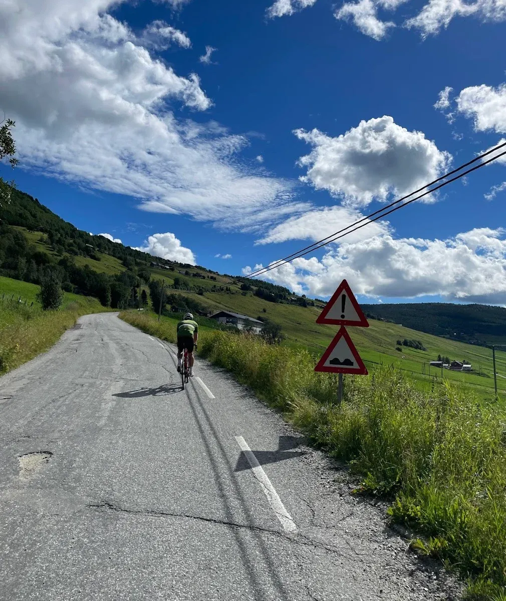
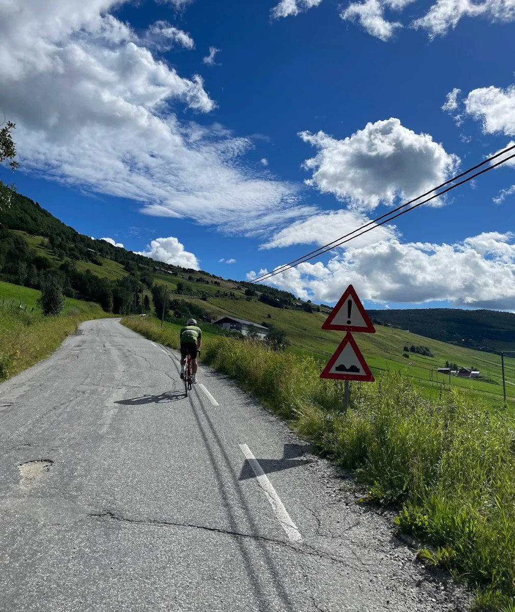
After Grimsdalen the route descends before climbing again onto Venabygdsfjellet, part of Norwegian Scenic Route Rondane. This is a different kind of mountain riding — the road is paved and carries some traffic, but the views over the Rondane massif with its ten peaks above 2,000 metres are extraordinary. Venabygdsfjellet is a Norwegian Scenic Route and is open year-round. It's Grimsdalsvegen that sets the season — it opens no earlier than 5 June and closes on 1 December. The high point on Venabygdsfjellet sits around 1,030 metres before the long descent back into the valley. The final 30 kilometres follow a rolling road south through the Gudbrandsdalen valley back to Vinstra. At 218 kilometres with just over 2,900 metres of climbing, this is a genuinely long day — but Grimsdalen alone makes it worth every pedal stroke.
Kilometre by Kilometre
From Vinstra in Gudbrandsdalen the route heads north before turning east into the mountains. The road climbs gradually through forested terrain. At around km 69, a shop in Dovre is the last resupply point before the Grimsdalen climb begins — stock up on food and drink here.
One of Norway's finest cycling valleys — a long, remote road between Rondane and Dovrefjell national parks. Ancient mountain farms, the Grimsa river and a strong chance of spotting wild reindeer. At around km 99, DNT Grimsdalshytta is a perfect lunch stop in the heart of the valley. Almost no traffic beyond this point.
The route joins Norwegian Scenic Route Rondane on Venabygdsfjellet — one of Norway's 18 designated National Tourist Roads. A high mountain plateau with sweeping views over the Rondane massif and its ten peaks above 2,000 metres.
The final section descends back to the Gudbrandsdalen valley and returns to Vinstra. A long but rewarding finish after one of Norway's great cycling days.
Gallery
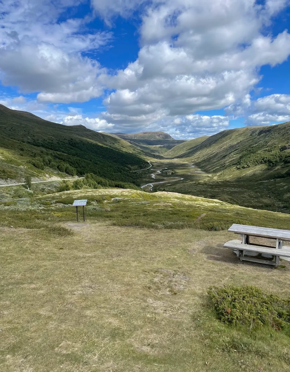
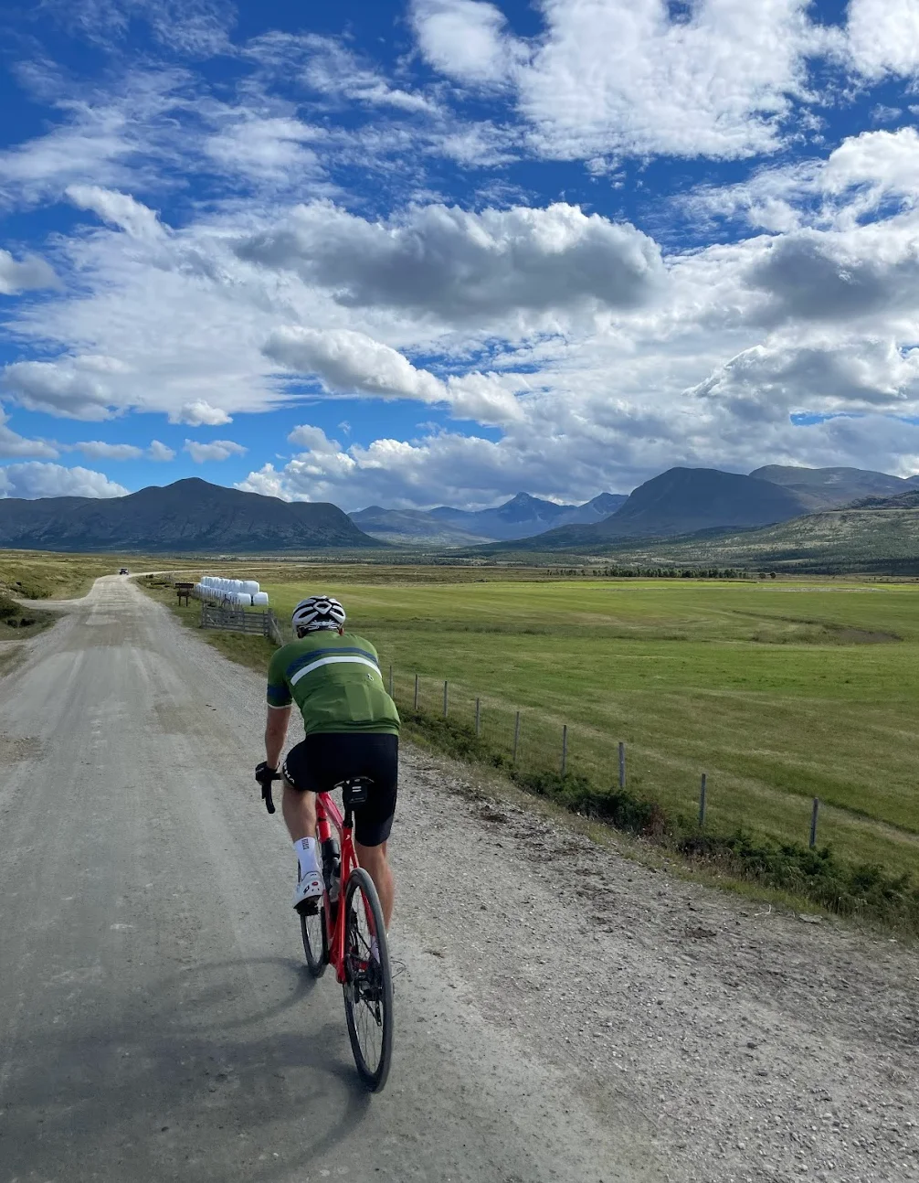
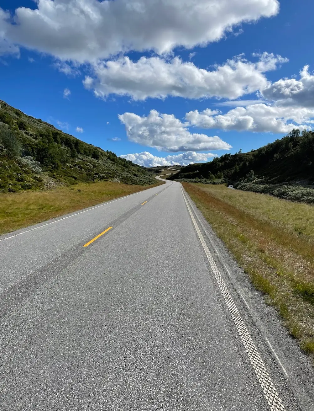
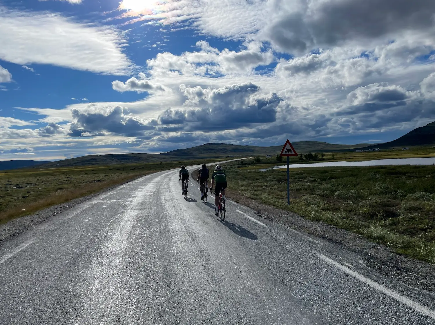
Route map & elevation profile
Key Climbs
Enden til Muen (Venabygdsfjellet)
Cat 3Highlights
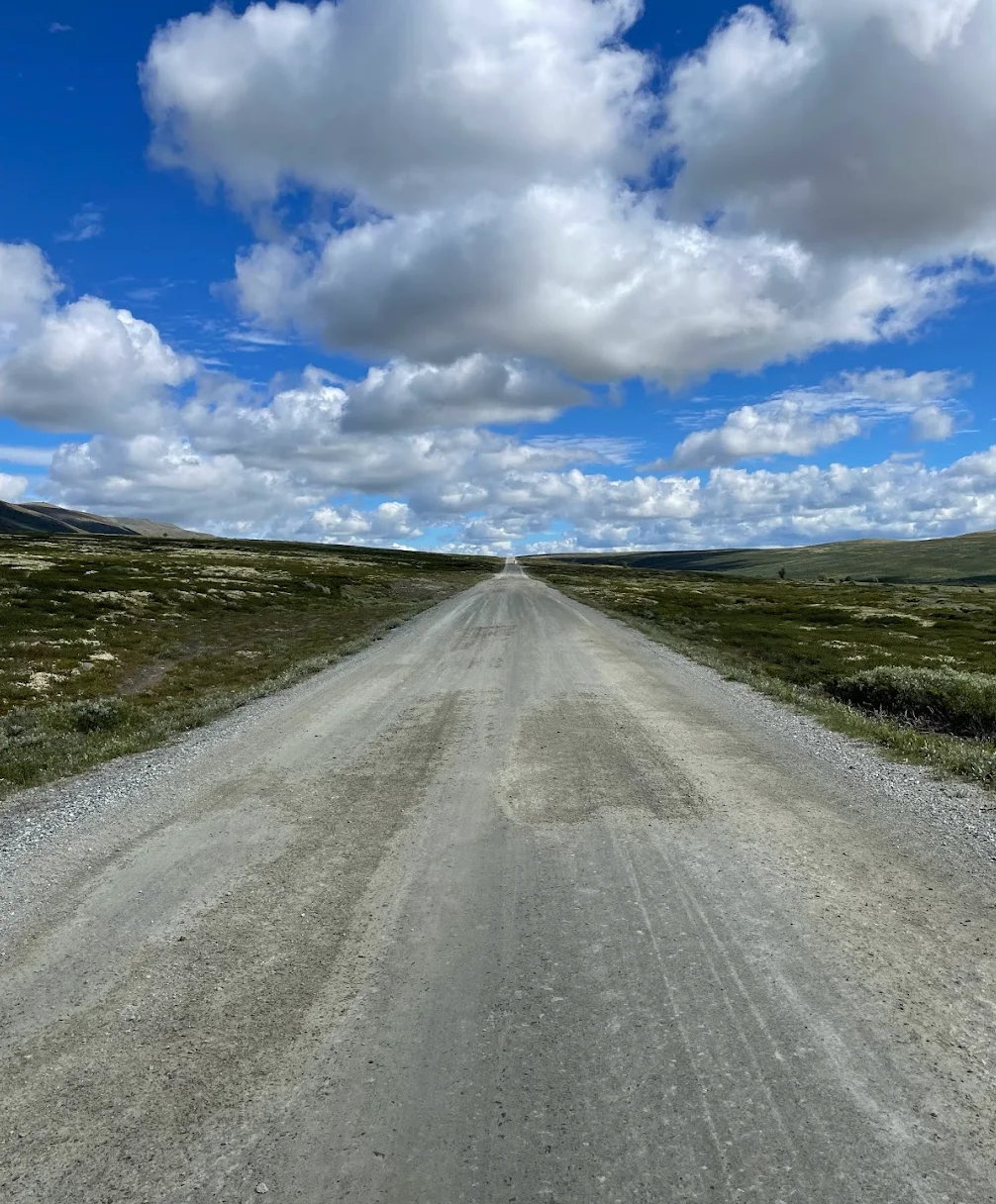
- •Grimsdalen sits between the Rondane and Dovrefjell national parks and is the reason for this loop. 43 kilometres of gravel through open mountain country with old summer farms, and almost no cars.
- •Grimsdalen Opp from Dovre is the big climb of the day — 7.6 kilometres at 7.8%, Category 2, taking you from 490 to over 1,100 m.
- •Grimsdalshytta at km 99 is the DNT lodge in the middle of the valley, with a terrace facing the Rondane peaks. The natural lunch stop.
- •Venabygdsfjellet on the return is Norwegian Scenic Route Rondane — tarmac, views across ten peaks over 2,000 metres, and a high point at 1,030 m.
- •Wild reindeer graze on the plateau in Grimsdalen. The road closes to cars seasonally precisely to protect them.
Must know
- ⚠The shop in Dovre at km 69 is the last supermarket before 30 kilometres to Grimsdalshytta. It's closed on Sundays — ride then and you need everything from Otta at km 33.
- ⚠Grimsdalsvegen is a private toll road with automatic number plate recognition. It applies to cars — cyclists pass for free.
- ⚠Grimsdalsvegen opens no earlier than 5 June and closes on 1 December. Venabygdsfjellet is a Norwegian Scenic Route and open year-round, so it's Grimsdalen that sets the season.
- ⚠43 kilometres of continuous gravel from km 74 to 117. Good surface, but long — 28–32mm tyres recommended.
- ⚠From Grimsdalshytta at km 99 it's 39 kilometres to the next place to stop. That's the longest stretch of the ride, and it comes after the gravel.
- ⚠218 kilometres and 2,928 metres of climbing is a long day. Start early and allow more time if you linger at the stops.
Café & Water
- km 69Coop Marked DovreMon–Fri 07–21, Sat 08–20, closed Sunday
Last supermarket before Grimsdalen. Fill every pocket here.
- km 99Grimsdalshytta
DNT lodge in the middle of the valley, with a terrace facing the Rondane peaks. Seasonal opening.
Frequently asked questions
- Is Grimsdalsvegen free to cycle?
- Yes. The toll applies to motor vehicles and is charged by automatic number plate recognition — bikes pass without paying.
- When can the loop be ridden?
- From early June to October. Grimsdalsvegen opens no earlier than 5 June and closes on 1 December. Venabygdsfjellet is open year-round, but that helps little when Grimsdalen is shut.
- Do I need a gravel bike?
- No, but 28–32mm tyres make the 43 kilometres comfortable. The surface is well-maintained gravel, not loose.
- Where can I resupply?
- Otta at km 33, the shop in Dovre at km 69 and Grimsdalshytta at km 99. Between Dovre and Grimsdalshytta it's 30 kilometres, and after Grimsdalshytta 39 kilometres to the next place.
- How hard is the climb into Grimsdalen?
- 7.6 kilometres at 7.8% average, Category 2. It starts at km 70 and takes you 596 metres up to the plateau.
- Will I see wild reindeer?
- Maybe. Grimsdalen is in their habitat, and the road closes to cars seasonally precisely to protect them. But they're shy, and nothing is guaranteed.
Know a better line?
Submit your local route and get featured with your own author profile, Strava, Instagram and Buy Me a Coffee link.
Share a Route → →Similar routes
Jotunheimen Cycling — Jotunheimvegen & Valdresflye Loop
Same Gudbrandsdalen high-country in the Jotunheimen direction
Lom - Sognefjellshytta
Adjacent region's flagship high-mountain pass — Sognefjellet from Lom
Gjøvik — Oslo Gravel
Different gravel adventure — south into Nordmarka instead of north