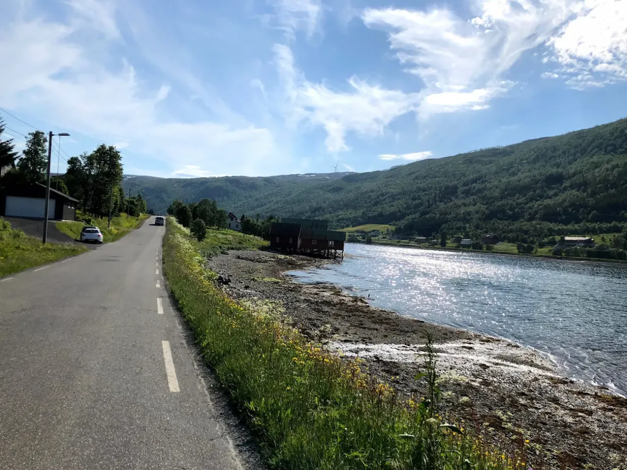
Tromsø Cycling — South Kvaløya Loop
About this Route
← Northern Norway Cycling GuideOne of the finest cycling routes in Arctic Norway — 114 kilometres around southern Kvaløya from Tromsø. Dramatic mountain scenery, deep fjords and virtually no traffic make this a truly special ride above the Arctic Circle.
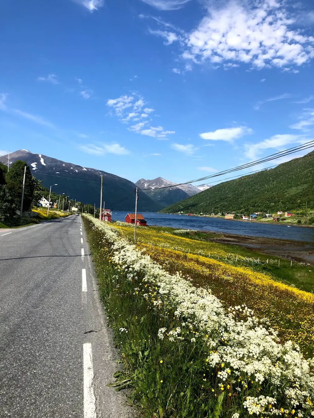
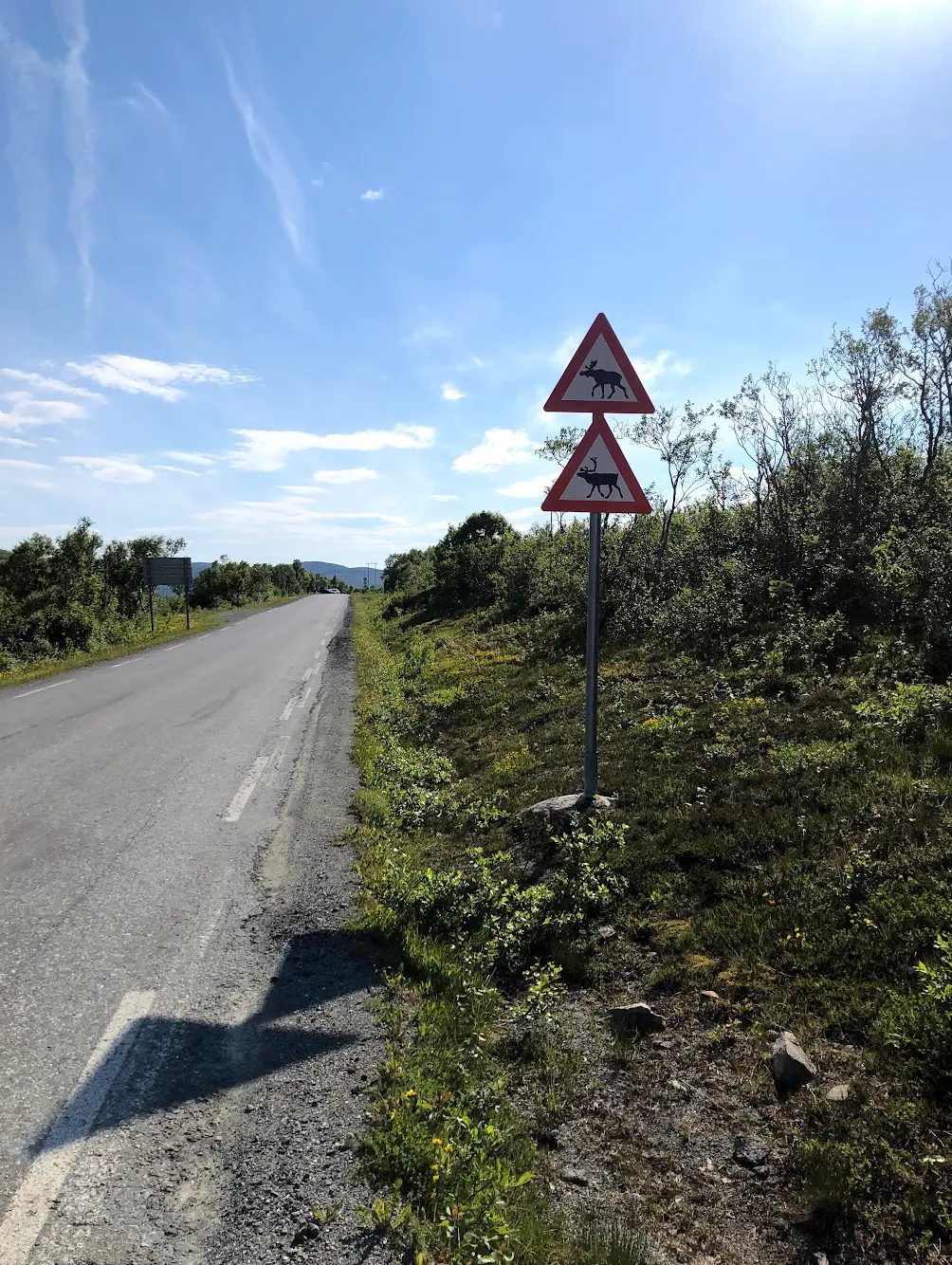
The route crosses the iconic Sandnessund Bridge out of Tromsø and follows the island roads around Kvaløya, with sweeping views of snow-capped peaks and turquoise fjords throughout. Reindeer and moose are both signposted along the road, and either can be standing in your lane without warning — slow down.
For supplies along the way, Joker Austein is the place to stop. And if you have the opportunity, a detour to Sommarøy is strongly recommended — one of the most beautiful spots in all of Norway, with white sand beaches and crystal clear Arctic water.
This is Arctic cycling at its most spectacular. When I rode this route from Tromso, the midnight sun was up and the light on the mountains was unlike anything I had seen further south. The route loops around Kvaloya — one of the large islands west of the city — and the scenery is relentlessly dramatic from start to finish.
From Tromso the route heads northwest across the Sandnessund Bridge, which gives you an immediate panorama of the city, the cathedral, and the snow-capped peaks in every direction. Once on Kvaloya the road turns west and the climbing begins. Kattfjordeidet is the only real climb of the day — a steady haul to around 170 metres — but it earns its place. From the top, the descent toward the western coast opens up views of the Lyngen Alps and the open sea that stopped me in my tracks.
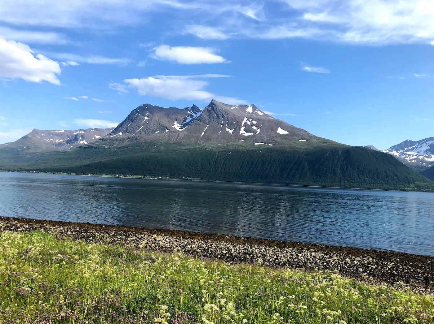
The western side of the island is exposed and wild. The mountains here rise above 1,000 metres — Store Blåmann at 1,044 and Hollendaren at 1,029 — and they come straight up out of the sea. The peaks are jagged, with snow clinging to the ridges well into summer. On this stretch is the Otervik tunnel, 607 metres, with a button at the entrance that switches on the lights — a small detail but worth knowing so you are not caught off guard in the dark. Near the halfway point the route passes close to Sommarøy, and the detour is worth every extra kilometre — white sand beaches and turquoise water that looks more Caribbean than Arctic.
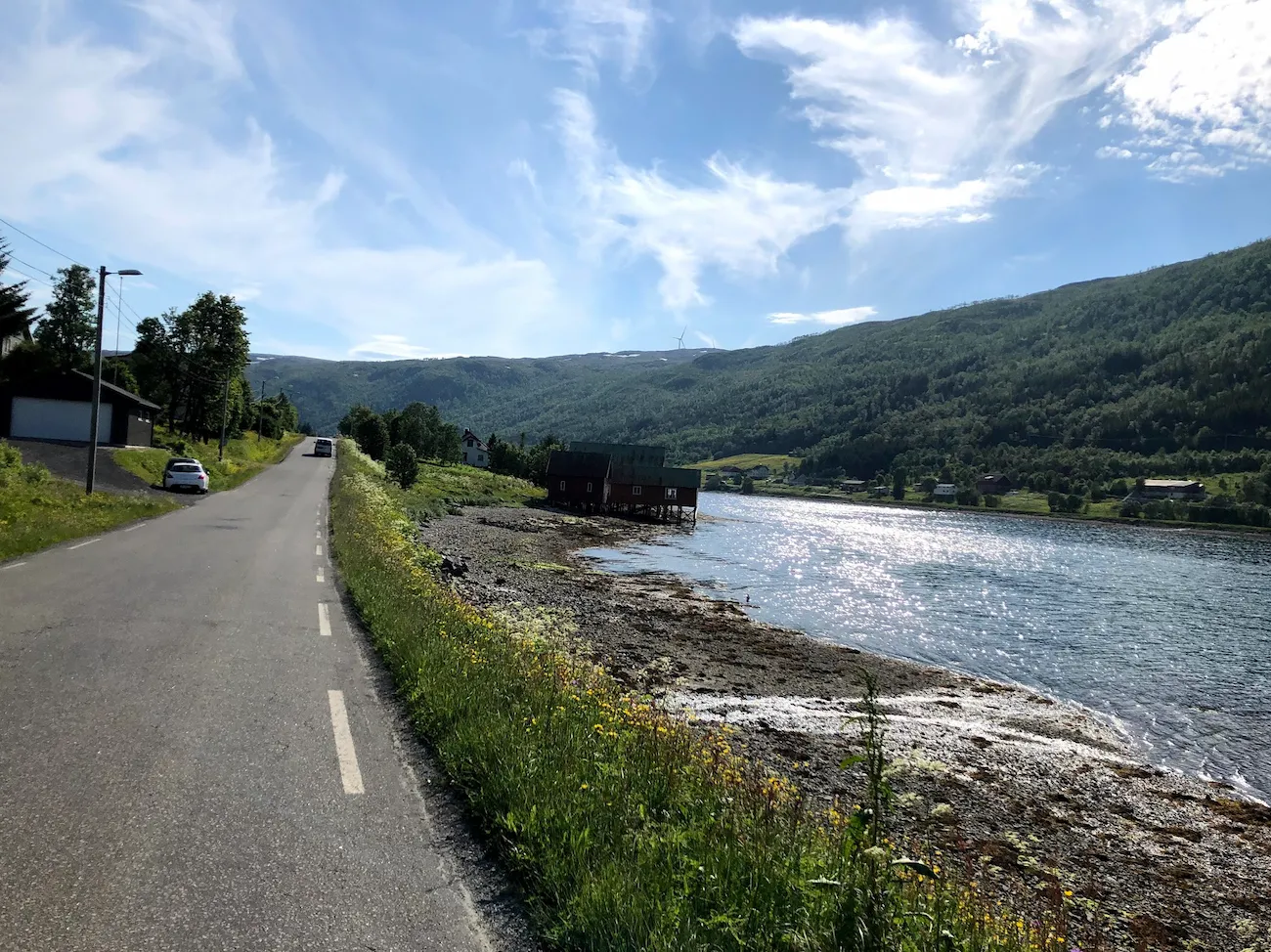
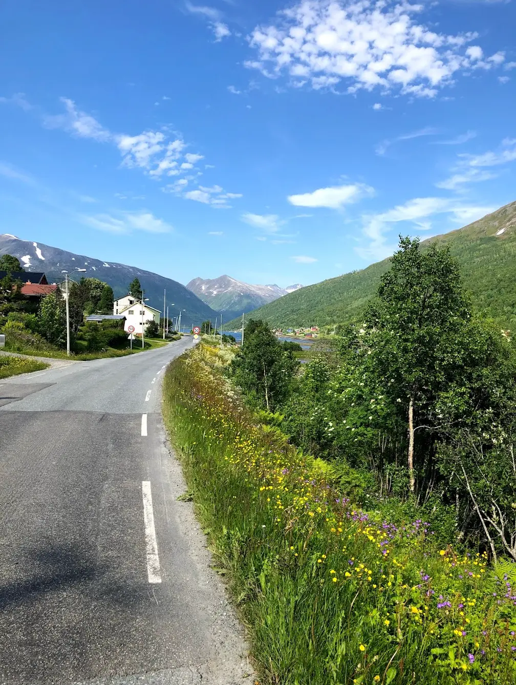
The southern coast is quieter and flatter. The road hugs the shoreline with the fjord on one side and steep mountain walls on the other. I passed a handful of cars in thirty kilometres.
For supplies, Joker Austein is the main stop on the route. The day I was here they had everything I needed — drinks, snacks, and a bench outside with a view of the fjord. Reindeer appeared on the road twice during the ride, both times on the quieter southern section — they are not in a hurry and neither should you be.
The return to Tromso follows the eastern coast back toward the Sandnessund Bridge. The final kilometres are flat and fast, and arriving back in the city with the Arctic Cathedral ahead and the mountains behind felt like a proper homecoming after a long day in one of the most beautiful landscapes I have ever ridden through.
Kilometre by Kilometre
You cross the Sandnessund Bridge after just three kilometres and you are on Kvaløya. Open views back over the city and the surrounding mountains. From there you follow the main road through Kvaløysletta and Kaldfjord before the terrain starts to climb.
The only real climb of the day is here — Kattfjordeidet, three kilometres at 5.3 per cent, topping out at 169 metres around km 20. From there the road drops to the west coast and follows it south. At km 44 the route passes through the Otervik tunnel, 607 metres, with a button at the entrance that switches on the lights. Virtually no traffic on the whole stretch.
Optional but strongly recommended — Sommarøy is one of the most beautiful spots in Norway. White sand beaches, crystal clear Arctic water and stunning mountain backdrops. Allow 1–2 extra hours for this detour.
Joker Austein is your main supply stop — stock up on food and drinks here. The route continues around the southern coast of Kvaløya with more fjord views and rolling terrain.
The final stretch brings you back across the bridge and into Tromsø. A fitting end to one of the most spectacular cycling routes in Arctic Norway.
Gallery
Route map & elevation profile
Key Climbs
Henrikvika (Kattfjordeidet)
Cat 4Highlights
- •Kattfjordeidet is the only real climb of the day — 3 kilometres long at an average gradient of 5.3 per cent, topping out at 169 metres around km 20.
- •59.8 of the 114 kilometres follow signed National Cycle Route 1, the «Kystruta», which is also EuroVelo 1 along the Atlantic coast.
- •From 20 May to 22 July the sun does not set. You can start whenever you like, and the light on the mountains at two in the morning is reason enough on its own.
- •The detour to Sommarøy sits around km 49 and adds roughly twenty kilometres there and back. White sand beaches and turquoise water, in the middle of the Arctic Ocean.
Must know
- ⚠⚠️ Joker Austein at km 50 is the only shop on the route after Kaldfjord — forty kilometres without resupply. Fill your bottles and carry enough food before you leave Kaldfjord.
- ⚠⚠️ The Sandnessund Bridge closes in strong wind. Summer is the calmest time of year, but the wind off the fjords turns quickly — check the alerts before you set off.
- ⚠⚠️ The Otervik tunnel at km 44 is 607 metres long. Press the button at the entrance — it switches on the lights and warns drivers.
- ⚠⚠️ Do not start from Tromsø centre and follow the Fv862 straight out. Cycling is prohibited in the Langnes tunnel and the Sentrumstangenten. The route starts at Langnes, outside both.
- ⚠⚠️ The season runs from May to September. None of the roads close for winter, but the winter maintenance standard over the eid and along the south side allows packed snow and ice — that is not a cycling surface.
- ⚠⚠️ Both reindeer and moose are signposted. The reindeer move to the high country from mid-June to early August, but in the belt around Kvaløysletta they stand in the road all year.
Café & Water
- km 50.3Joker Austein
km 50 — Joker Austein. The only shop between Kaldfjord and the south coast, and the natural turning point of the route. Filling station right next door.
Frequently asked questions
- Is this the loop around northern or southern Kvaløya?
- Southern. The northern loop is a different ride of around 66 kilometres. This one crosses Kattfjordeidet, drops to the west coast and returns along the south coast.
- How long is the route really?
- 114 kilometres, measured from the GPX track. You will find figures between 94 and 122 elsewhere — those describe different variants of the loop, not the same ride.
- Can I ride out from Tromsø centre?
- Not along the Fv862. Cycling is prohibited in the Langnes tunnel and the Sentrumstangenten. The route starts at Langnes, and you get there on local roads.
- Where can I buy food along the way?
- Joker Austein at km 50 is the only shop between Kaldfjord and the south coast. Carry what you need for forty kilometres.
- When is the season?
- May to September. The midnight sun stands from 20 May to 22 July.
Know a better line?
Submit your local route and get featured with your own author profile, Strava, Instagram and Buy Me a Coffee link.
Share a Route → →Similar routes
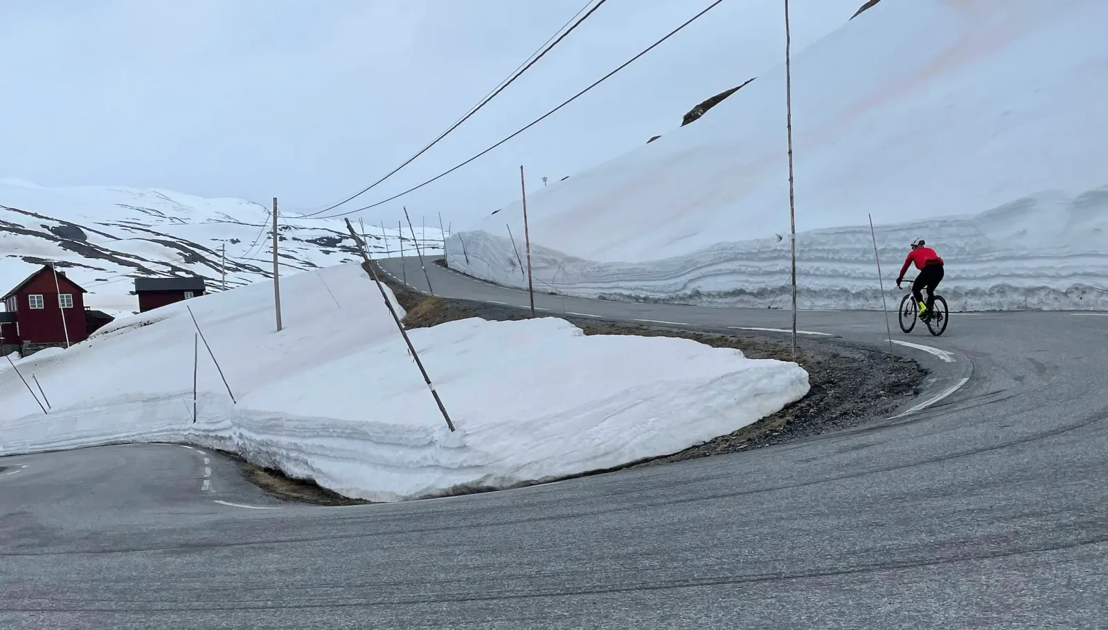
Lom - Sognefjellshytta
Different region — quieter southern alternative for high-mountain riding
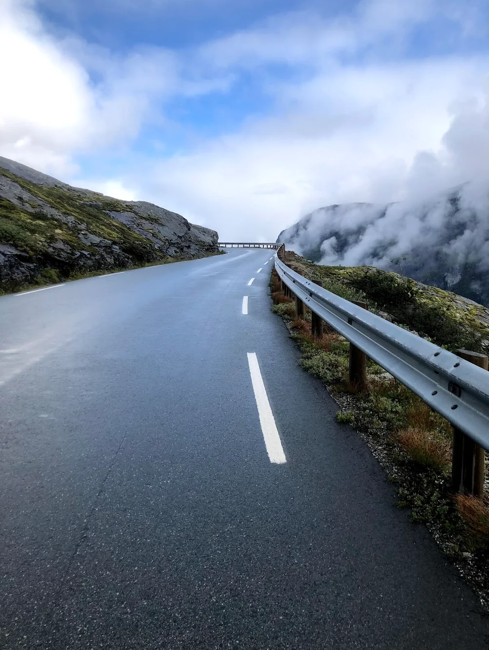
Geiranger — Dalsnibba HC
Other Norwegian fjord-region option — Geiranger and Dalsnibba
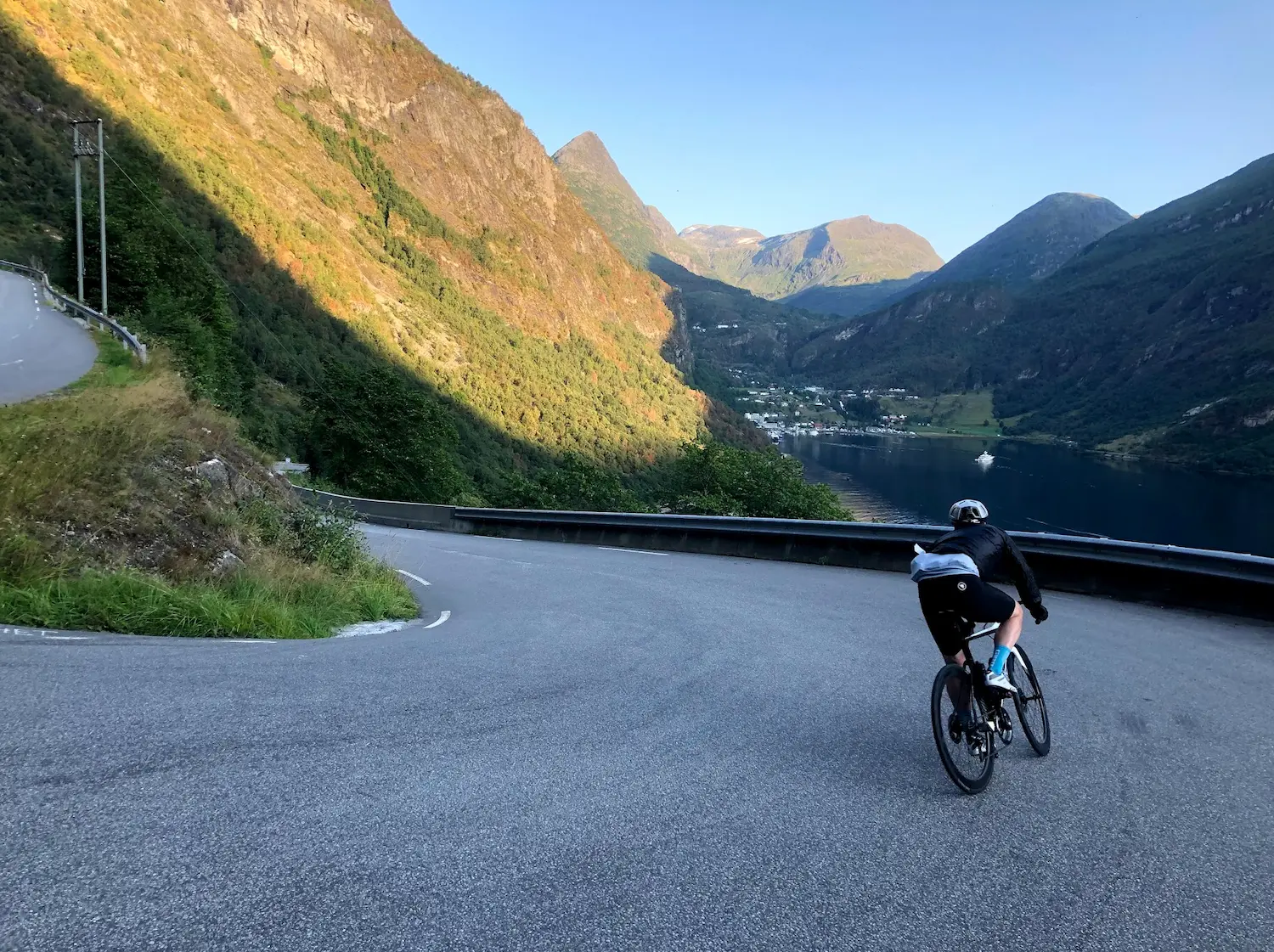
Trollstigen — 11 Hairpins
Iconic Norwegian tourist road — very different geography but similar dramatic-coast feel