Col de la MadoneHC
- 13.25 km
- Length
- 6.7%
- Average
- 883 m
- Elevation gain
- 9.1%
- Steepest 500 m
- 925 m(sign)
- Summit
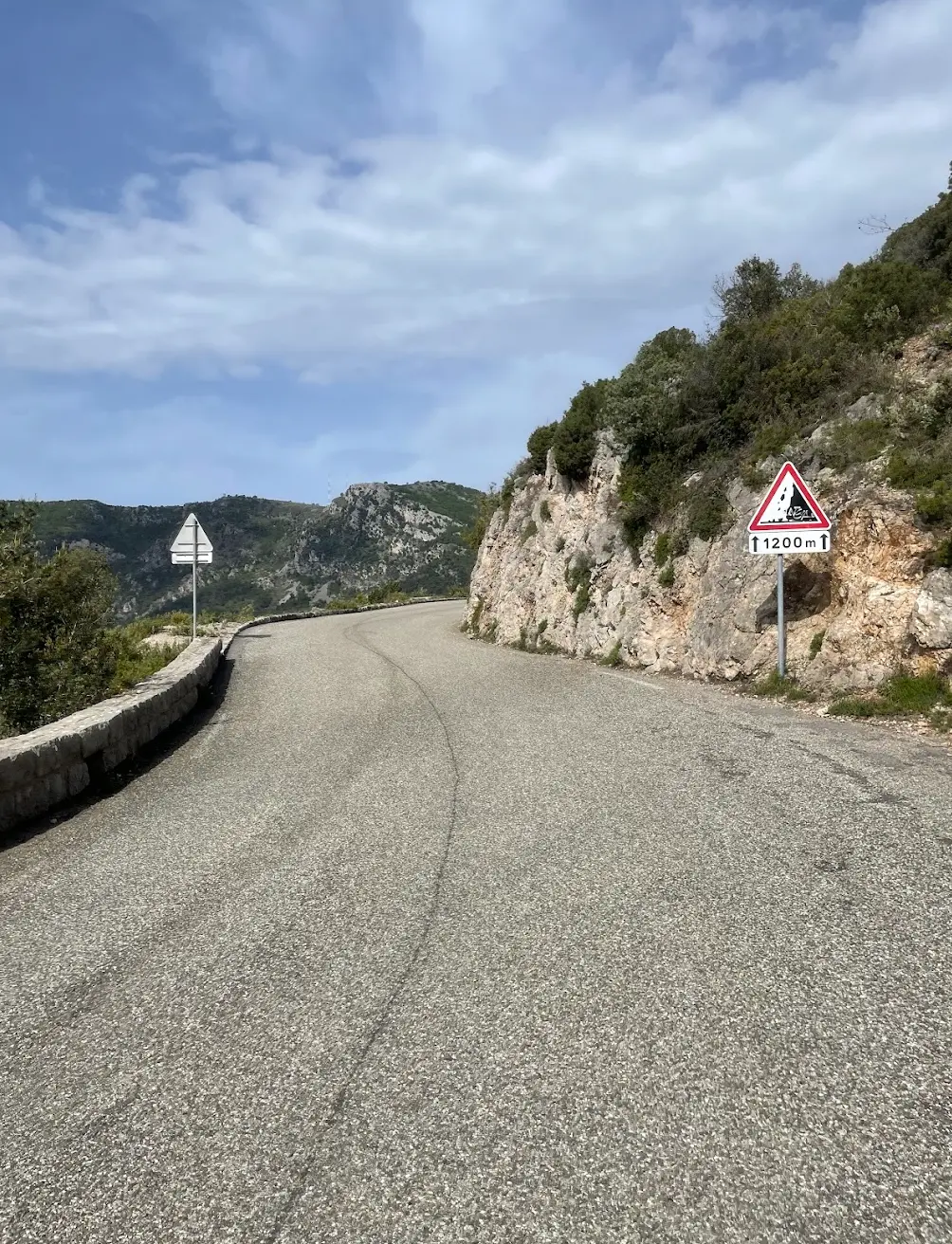
Madone starts down at the sea in Menton. The first kilometre is gentle, but then it stiffens, and from the fourth kilometre to the eighth the average is 7.7 per cent. A little past halfway it eases to around five per cent, and there you can recover and look around. The view over the Mediterranean is open, and you can see the road winding up the hillside ahead of you. But the climb is not over. The steepest stretch comes when you have a little over two kilometres left, so keep something back for it.
How long will Col de la Madone take you?
A rider at 3.0 W/kg takes about 65 minutes to climb Col de la Madone.
Put in your weight and the average power you hold on the gradient. We add 9 kg for bike and kit. The model works the time out from physics, and it has been tested against real rides.
Riders
The road
Madone is a benchmark climb. Professionals have used it for decades to measure their form, and it is long enough and hard enough for the numbers to mean something. Trek named its road bike after it.
Where the climb begins is disputed. The Alpes-Maritimes sign at the top gives 12.3 km and 850 metres of climbing from Menton. The segment here starts lower down and is longer, so two times for Madone do not necessarily measure the same thing.
At the top there is a steel sculpture in red and white, put up in 2021 by Stéphane Cipre. It marks the pass.
The climb
Madone begins down at the sea, and the first kilometre is the shallowest. After that it stiffens with every kilometre.
From the fourth kilometre to the eighth the average is 7.7 per cent. That is five kilometres with nowhere to sit up and roll.
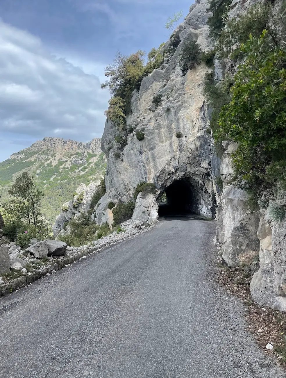
Around the eighth kilometre you pass below Sainte-Agnès, a medieval village on the shelf above the road and one of the official most beautiful villages in France. Roughly there it eases to around five per cent, and for the next few kilometres you can breathe. The view over the Mediterranean is open, and higher up the road goes through a short tunnel cut straight into the rock, unlit and barely wide enough for a car.
Then it steepens again. The steepest stretch on the whole climb starts around the eleventh kilometre and measures close to nine per cent. From there it is a steady gradient to the top.