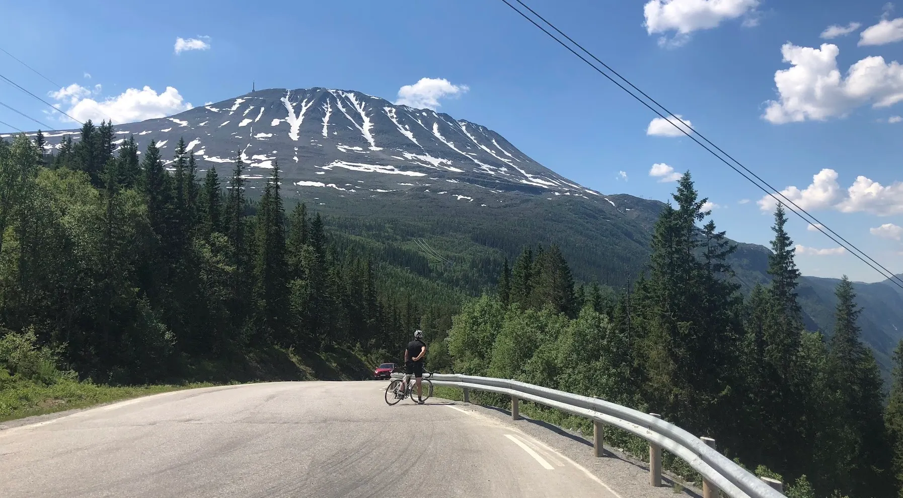
Region at a glance
All Routes in Telemark
2 handpicked road-cycling routes in Telemark.
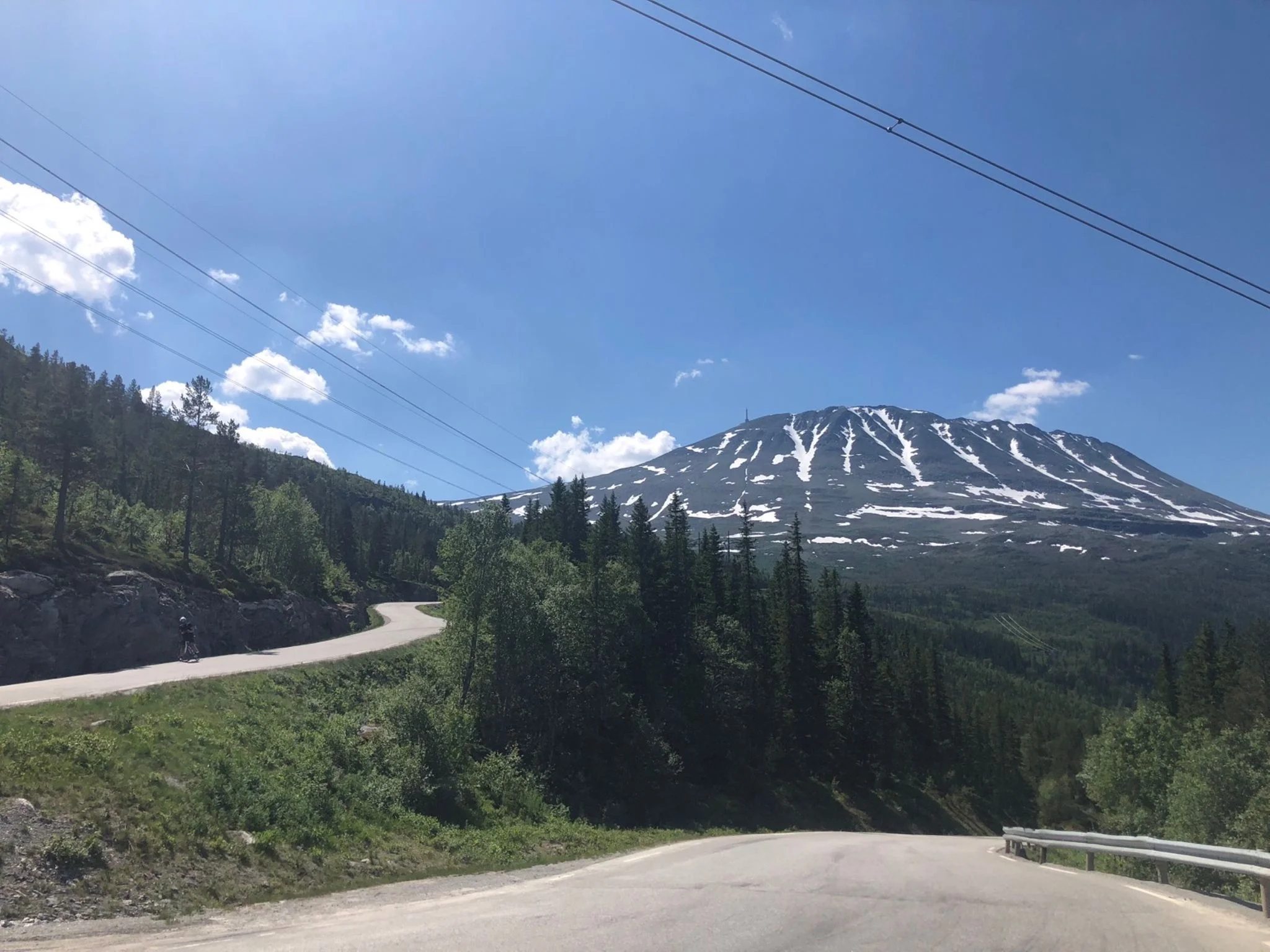
Gaustatoppen Rundt — 172 km Loop
A 172 km loop that circles the Gaustatoppen massif rather than taking it on directly. The day starts by throwing away every metre of altitude down Zombie Hill into Rjukan, spends 50-odd kilometres on a high rolling plateau, then drops for the better part of 70 km to Sauland — before the sting: a 33 km climb back to the roof of the route that is far harder than its 3.6% average lets on. Zombie Hill is the climb out of Rjukan that ends Norseman athletes' bike leg — but this route descends it from Gaustablikk as the warm-up, then comes back to Gaustatoppen from the south side instead.
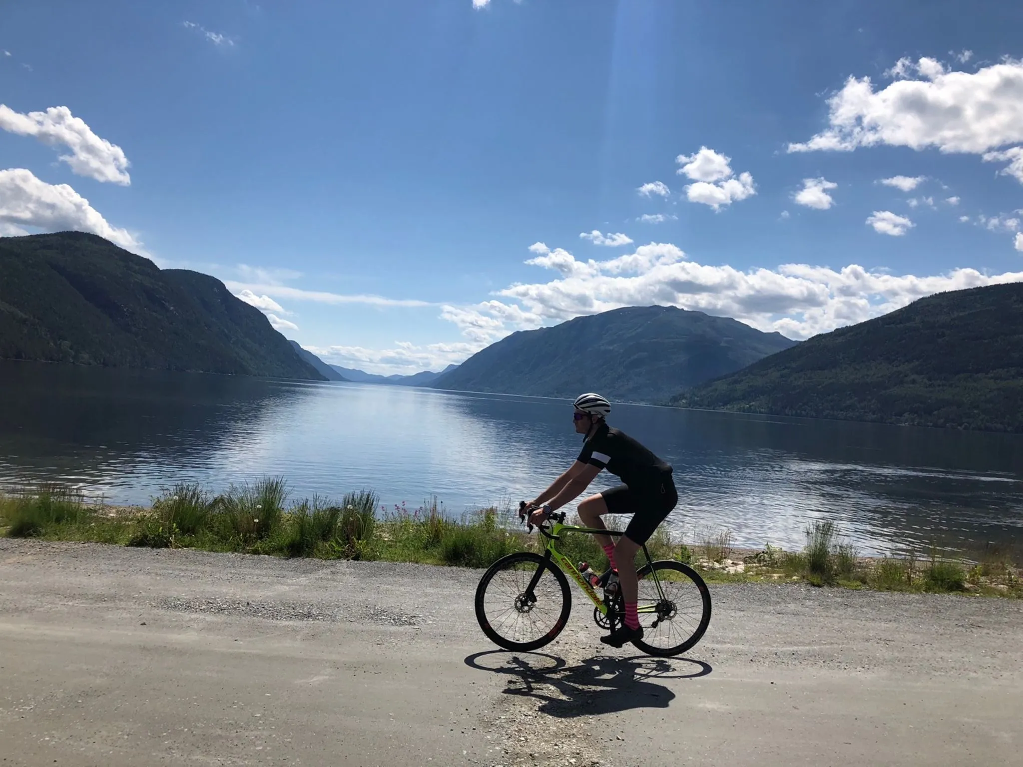
Tinnsjøen Rundt — The 145km Loop Around the Tinnsjø Basin from Gaustablikk
A 145 km loop from Gaustablikk that goes around the Tinnsjøen basin and finishes by climbing back up Zombie Hill — the climb that gave the Norseman triathlon finale its name. The day opens with a 7 km warm-up climb out of the start, drops 30 km to Sauland, builds 50 km of patient gradient past Tinnsjøen and up to the plateau, and earns a lakeside refuel at Sandviken Kafé i Tinn — then 6.8 km at 9.6% on Zombie Hill stands between you and the finish.
Telemark is Norway's interior mountain country — and the closest thing the south of the country has to the Western Fjords for cyclists who want fjell terrain without the long drive west. Gaustatoppen, 1,882 m, is the landmark, but the appeal is the network of quiet valley roads and high-mountain plateau roads that tie together Tinn, Vinje and Rauland.
Read the full guide ↓Show less ↑
The climate here sits between coastal and alpine. The high passes typically clear earlier than Jotunheimen and stay open longer — May through September is reliable on the main mountain roads — but the weather changes fast, and a windproof jacket belongs in your pocket even on a clear summer morning.
What you won't find on Mallorca or in the Alps: silence. You can ride 60 km between Rauland and Tuddal in mid-season and pass three cars. That's increasingly rare in southern Norway, and it's one of the strongest reasons cyclists who've been everywhere keep coming back here.
The history sits in the landscape. The Vemork plant above Rjukan is the site of the 1943 heavy-water sabotage operation. Heddal stave church dates from the 1200s. Norsk Hydro built Rjukan around early-twentieth-century electrolysis, and what was an industrial town in 1910 is now a hiking-and-cycling base — the kind of transition that defines Telemark.
Frequently asked questions
- When do the mountain roads in Telemark open for cycling?
- Main roads (E134 over Haukelifjell, Rv 37 over Rauland) are open year-round. Smaller passes like Rv 651 over Imingfjell are typically closed in winter and open in mid-May at the earliest, depending on snow. Statens vegvesen publishes live status on vegvesen.no.
- Which town is the best base for cycling in Telemark?
- Depends on what you want to ride. Gaustablikk is the obvious base for Gaustatoppen Rundt and the iconic climbs on the west side of Hardangervidda. Notodden is closer to Heddal, Bolkesjø and the Tinnsjø area. Rauland is the mid-county base for fjell loops toward Vinje and Møsvatn. All three have year-round accommodation.
- Do I need a gravel bike for cycling in Telemark?
- No. The routes here on CyclingRoutes.cc are asphalt — a road bike handles them. Gravel options exist (old roads along Tinnsjø and Møsvatn) but aren't routes we've documented yet.
- How high can I cycle in Telemark?
- The highest point on the Gaustatoppen Rundt route is 1,259 m. The E134 over Haukelifjell runs through a tunnel beneath Dyrskar, where the old road tops out at 1,148 m and is open in summer. Gaustatoppen itself (1,882 m) is reached only by the Gaustabanen funicular — the cycling route goes around the mountain, not up it.