Gaustatoppen Rundt — 172 km Loop
About this Route
A 172 km loop that circles the Gaustatoppen massif rather than taking it on directly. The day starts by throwing away every metre of altitude down Zombie Hill into Rjukan, spends 50-odd kilometres on a high rolling plateau, then drops for the better part of 70 km to Sauland — before the sting: a 33 km climb back to the roof of the route that is far harder than its 3.6% average lets on. Zombie Hill is the climb out of Rjukan that ends Norseman athletes' bike leg — but this route descends it from Gaustablikk as the warm-up, then comes back to Gaustatoppen from the south side instead.
Gaustatoppen Rundt does what its name says — it goes *around* the mountain, not up it, and the shape of the day is set by that decision. The mountain you're circling — Gaustatoppen, 1,883 m — is one of Norway's most prominent peaks, with a clear-day view said to reach a sixth of the country; the road tops out at 1,255 m, well below the summit. You start high at Gaustablikk, lose almost everything immediately, earn a long middle section on the plateau, and then the route saves its hardest 33 km for when your legs are already 130 km old. Knowing that structure before you roll out is the difference between riding it well and getting caught out.
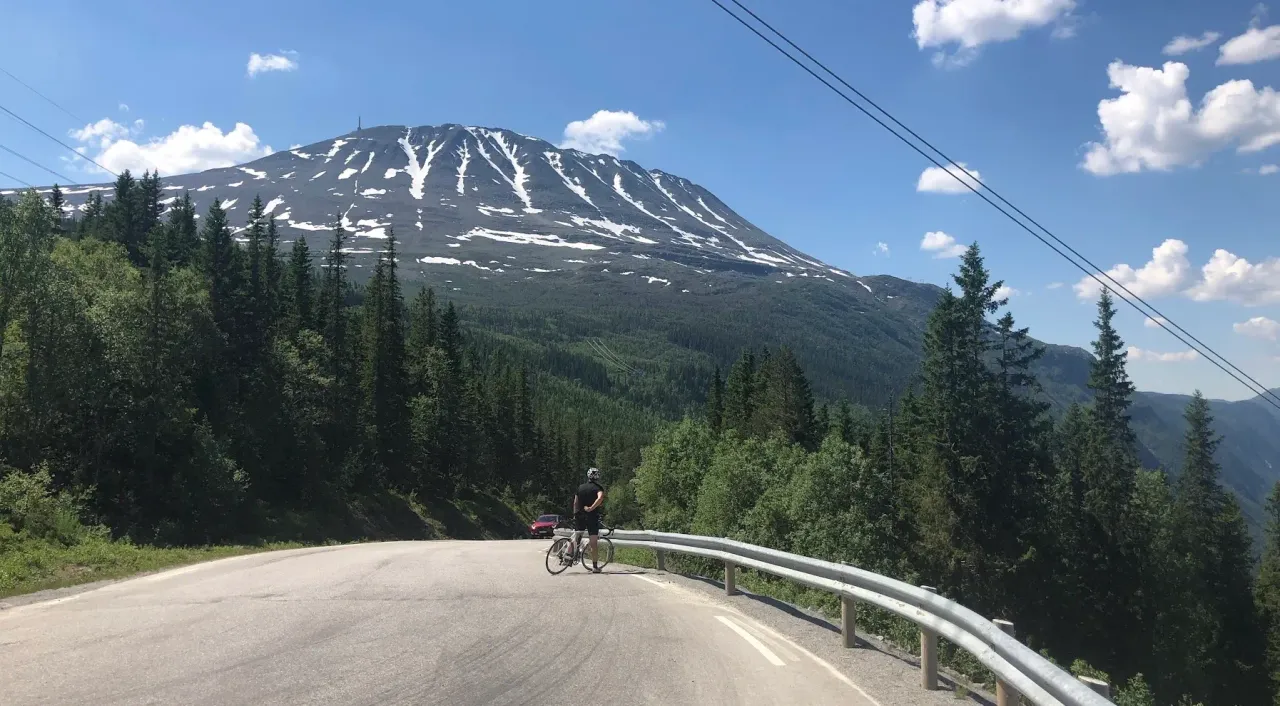
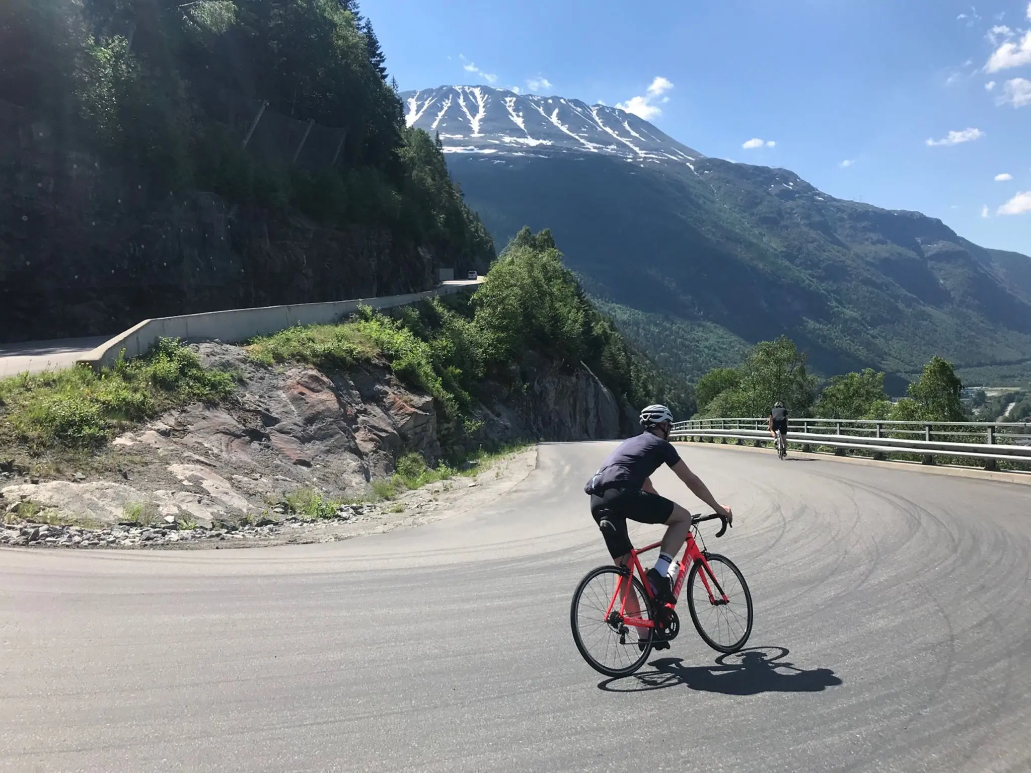
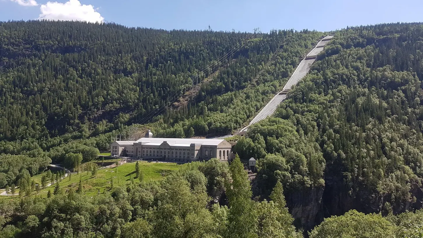
The first 8 km are pure descent. You leave Gaustablikk at 916 m and give all of it back down Zombie Hill into Rjukan on the valley floor near 90 m — check your brakes before you commit to it, because once you're moving you don't stop. The valley floor doesn't let you settle: the climbing starts almost straight away on Stallbakken — 11 km averaging 5.1%, 567 m of height gained, the day's first real test. Its full name, *Stallbakken - toppen etter fjellstua*, tells you where it ends: at the mountain lodge. The KOM sits at 26:51; we took 45:41, which is the honest pace for this climb 10 km into a 172 km day, not a number to chase. Low on the climb the view opens across the valley to the Vemork hydrogen plant — the Tungtvannfabrikken — best known as the target of the Norwegian heavy-water sabotage of 1943. It's a useful marker as much as a sight: it tells you how far you've already lifted yourself out of the dale.
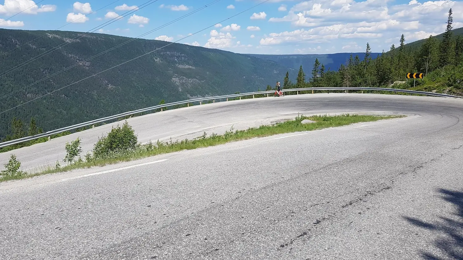
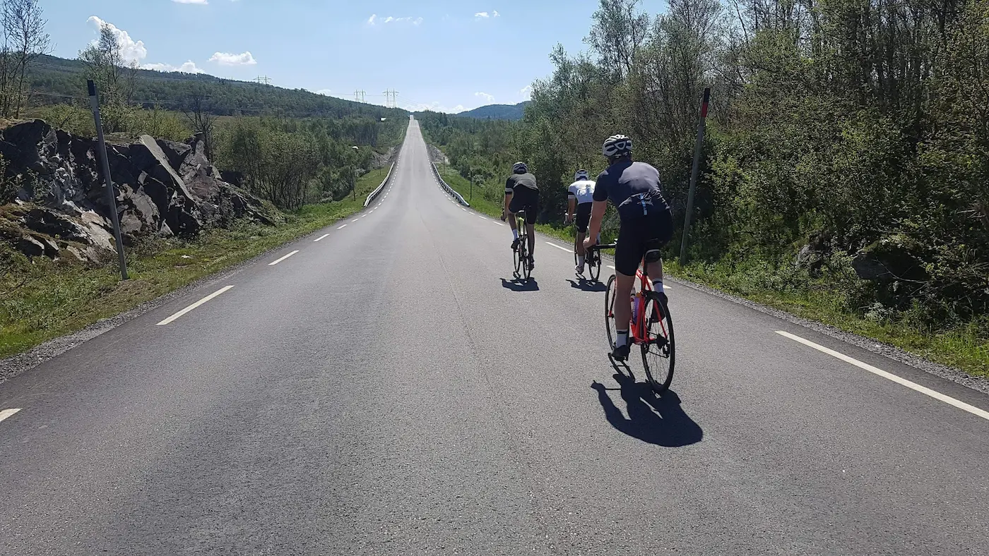
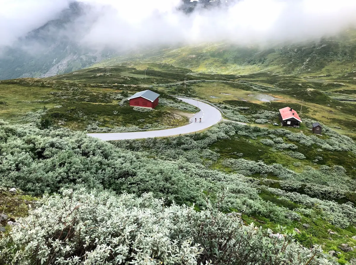
Above Stallbakken the route opens onto roughly 50 km of high plateau. It reads as flat on a profile but rides as a series of stiff little ramps — *kneiker* — with the surrounding peaks in view the whole way and not much shelter from the weather. It is genuinely beautiful riding, and it is also where you should be eating and drinking, because the next guaranteed stop is Rauland at around the 60 km mark. The café there has changed hands enough that the name isn't worth committing to memory, but the Esso station does hot food — treat it as your refuelling point, not an optional one.
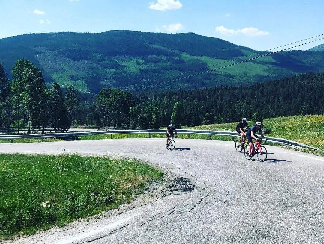
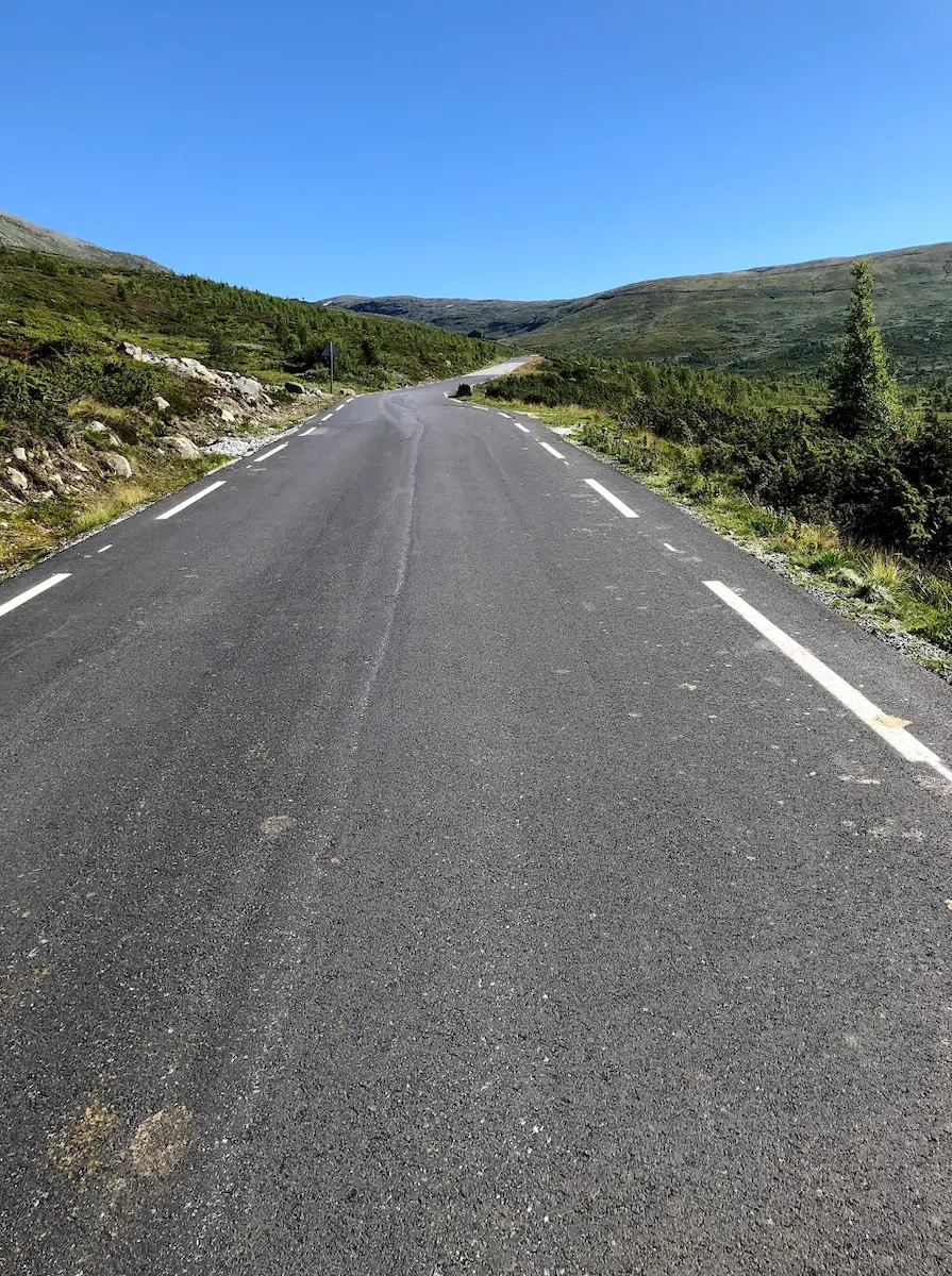
From Rauland the route tips downhill and stays there for a long time. It is close to 70 km of descent from roughly 700 m down to Sauland at 87 m — never steep, just a patient, shallow gradient on quiet, low-traffic roads where you carry good speed for very little effort. Enjoy it, but don't switch off: Sauland at 132 km is where the day actually begins.
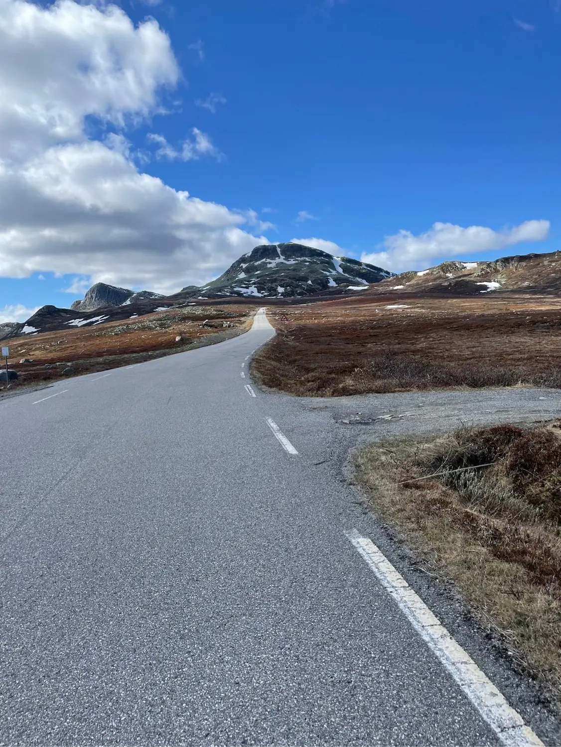
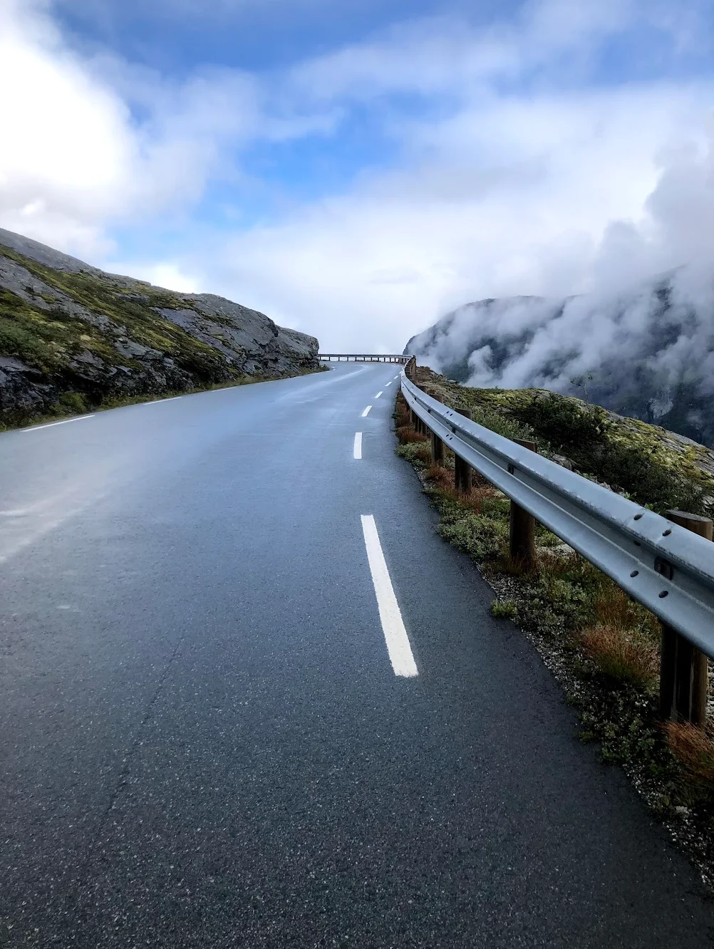
The climb back to Gaustatoppen is 33 km long, 1,168 m of gain, 3.6% on average — and that average is the trap. Plenty of riders see 3.6% and relax. The first 20 km are full of flat sections and false flats that take more out of you than the number suggests, and they get materially worse into a headwind — we rode it in late May with strong wind and had to dig hard through this part. After Tuddal, about 20 km into the climb, it bares its teeth: roughly 4 km averaging 8.5% with ramps kicking to 20%. Then, near the top, the landscape opens out into long bare plains with no vegetation to break the wind — the steep ramps are over but the exposure isn't. Over the high point at 1,255 m it's a fast descent back down to Gaustablikk and the afterbike. The climb is the whole story of this loop; ride the first 130 km with that in mind.
Kilometre by Kilometre
Pure descent from the start. You drop from 916 m at Gaustablikk to the Rjukan valley floor near 90 m down Zombie Hill — fast, continuous, and best ridden on brakes you've checked first. No warm-up: the day's altitude is gone inside 8 km and you'll spend the rest of it earning it back.
The climbing starts almost as soon as the descent ends. Stallbakken is the day's first real effort — 11.08 km, 567 m of gain, 5.1% average, topping out at the mountain lodge that gives the segment its name. The KOM is 26:51; budget far more than that this early in the day. Low on the climb the view opens across the valley to the Vemork plant — Tungtvannfabrikken, target of the 1943 heavy-water sabotage — a good gauge of how far you've already climbed. By 30 km you're up around 880 m and onto the plateau.
Around 50 km of high, open riding that profiles as flat but rides as a chain of short sharp ramps. Peaks in view throughout, little shelter from wind or rain. This is eating-and-drinking terrain: the reliable stop is Rauland near 60 km — the café name is a moving target, but the Esso station does hot food. Refuel here.
Close to 70 km of shallow descent from roughly 700 m down to 87 m at Sauland. Never steep, never demanding — quiet, low-traffic roads where you hold speed for next to nothing. Quick and enjoyable, but it's the calm before the real work: Sauland is the foot of the finale.
The cycling loop's defining climb starts here: 33km up the E134 from Sauland through Tuddal back to Gaustablikk. 33 km of climbing, 1,168 m of gain, 3.6% average — and the average lies. The first 20 km are flats and false flats that punish harder than the number says, worse still into a headwind. After Tuddal, around 4 km at 8.5% with ramps to 20%. Near the top the terrain opens to bare, wind-exposed plains. Over the high point at 1,255 m, a fast descent returns you to Gaustablikk.
Gallery
Route map & elevation profile
Key Climbs
Stallbakken — toppen etter fjellstua
Cat 2E134 — Store Gaustokne (Sauland to summit)
HCHighlights
- •Stallbakken — an 11 km, 5.1% opening test straight off the Rjukan valley floor
- •The high plateau — roughly 50 km of open riding with surrounding peaks in view the whole way
- •The descent to Sauland — a near-70 km shallow drop on quiet, low-traffic roads
- •The Gaustatoppen finale — 33 km that ride far harder than the 3.6% average suggests
- •The Vemork view — across the valley to the site of the 1943 heavy-water sabotage
- •Circling Gaustatoppen itself — 1,883 m, one of Norway's most prominent peaks
Must know
- ⚠No warm-up. The first 8 km is a continuous descent from the start line — your legs go cold-to-fast with nothing in between.
- ⚠Limited resupply. Roughly 70 km between Rauland (60 km) and the foot of the climb at Sauland (132 km) with no guaranteed stops.
- ⚠The hardest climb is last, not in the middle. Pace the first 130 km as the setup, not the ride.
- ⚠The climb's upper section is wind-exposed and open. On a bad-weather day, the final third can decide your ride more than the gradient does.
- ⚠Early season, check road status. In May–June the highest sections can open late after a snowy winter.
Café & Water
- km 60Esso Rauland
The reliable refuelling point of the whole route — hot food, full convenience-store stock. The café next door has changed hands enough that the name isn't worth committing to memory; Esso is the one you can plan around.
- km 60Rauland matbutikker
Backup if Esso is busy — small grocery stores in the village centre cover bidons, energy food and lunch supplies.
Frequently asked questions
- How long is Gaustatoppen Rundt?
- 172.6 km with 3,138 m of climbing — a full day's ride.
- Which direction should I ride it?
- Anticlockwise from Gaustablikk, descending Zombie Hill first. The loop is built around saving the Gaustatoppen climb for the end.
- What's the hardest climb?
- The 33 km final climb back to Gaustatoppen — 1,168 m of gain at 3.6% average, with ramps to 20% after Tuddal.
- When is the best time to ride it?
- Late May through September. We rode it on 26 May with 5–19 °C and changeable weather; the high sections can open late after a snowy winter.
- Where do I start?
- Gaustablikk — the route starts and finishes there.
Where to stay
Gaustablikk
Start and finish of the loop. Gaustablikk is a year-round mountain resort 916 m above the Rjukan valley, with a cluster of hotels (Gaustablikk Høyfjellshotell, Gausta Hotell) plus extensive cabin rental — the kind of capacity Telemark's smaller villages don't have. Sykling season overlaps the off-season for the alpine ski-resort, which means good rates and quiet hotels in May–September. The road to Rjukan starts at your hotel door.
Know a better line?
Submit your local route and get featured with your own author profile, Strava, Instagram and Buy Me a Coffee link.
Share a Route → →Similar routes
Sognefjellet & Tindevegen
If Gaustatoppen Rundt is your test of pacing the finale, Sognefjellet & Tindevegen is your test of climbing all day — 4,134 m in one ride
Aurlandsfjellet — Snøvegen
The other Norway climb that earns its weight — Aurlandsfjellet's Snow Road from sea level to 1,286 m
Geiranger — Dalsnibba HC
Different shape — Gaustatoppen Rundt saves its HC climb for the finale, while Dalsnibba opens with its HC climb on a point-to-point route out of Geiranger with a ferry finish
Route Details
Elite level. Extreme elevation, altitude and distance. Serious preparation required.