Oslo Cycling — Skotbu & Drøbak Loop
About this Route
← Oslo & Oslofjord Cycling GuideSkotbu and Drøbak are 114.8 kilometres from the Opera House: you cross Follo end to end and come back to where you started. East first to Skotbu and the high point of the route at 173 metres, then west to the fjord and Drøbak. No categorised climbs, but Vestbyveien into Drøbak has half a kilometre at 9.6 per cent.
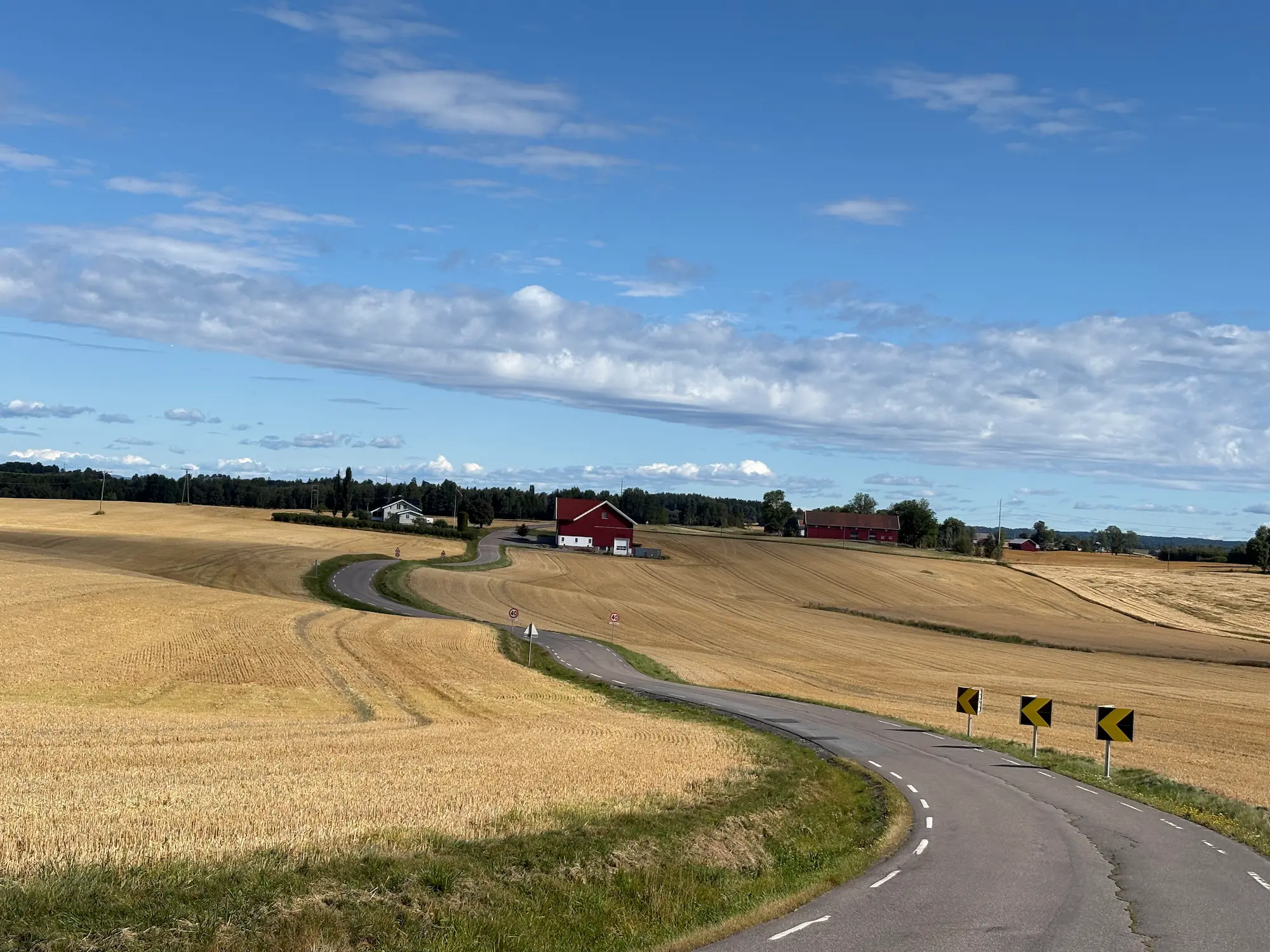
The middle section runs on small roads through the grain country of Follo — Løkenveien, Audenbølveien and Skotbuveien, narrow and with next to no traffic. Coffee stops in the old station building at Kråkstad and at Pavels Bakeri in Drøbak. The way home follows Osloveien along Årungen and comes into Oslo on cycle path with the fjord alongside.
114.8 kilometres and 1,355 metres of climbing from the Opera House and back to the Opera House. That's eleven metres per kilometre, which is ordinary for Follo — there are several loops south of the city with much the same numbers. The difference is which way it goes. East first to Skotbu, then west to Drøbak. You cross Follo end to end, from the grain country in the east to the fjord in the west, and you get both on the same day. Allow three and a half to five hours.
None of the climbs is long. The longest runs almost five kilometres, but at 2.4 per cent you notice it in your speed. The short pitches, on the other hand, are steeper than the profile suggests. Vestbyveien into Drøbak has half a kilometre at 9.6 per cent.
Out of Oslo
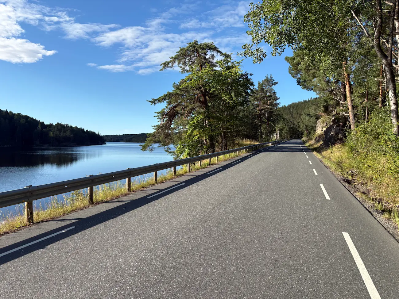
Cycle path from the Opera House heading south. At Hvervenbukta, km 10, you're clear of the city. Gamle Mossevei turns rural straight away — good road, little traffic, and Gjersjøen on your left from km 13. There's a kiosk and grill at Hjulet, km 19. You'll come past here again later in the day, going the other way.
Langhus, Løkenveien and Kråkstad
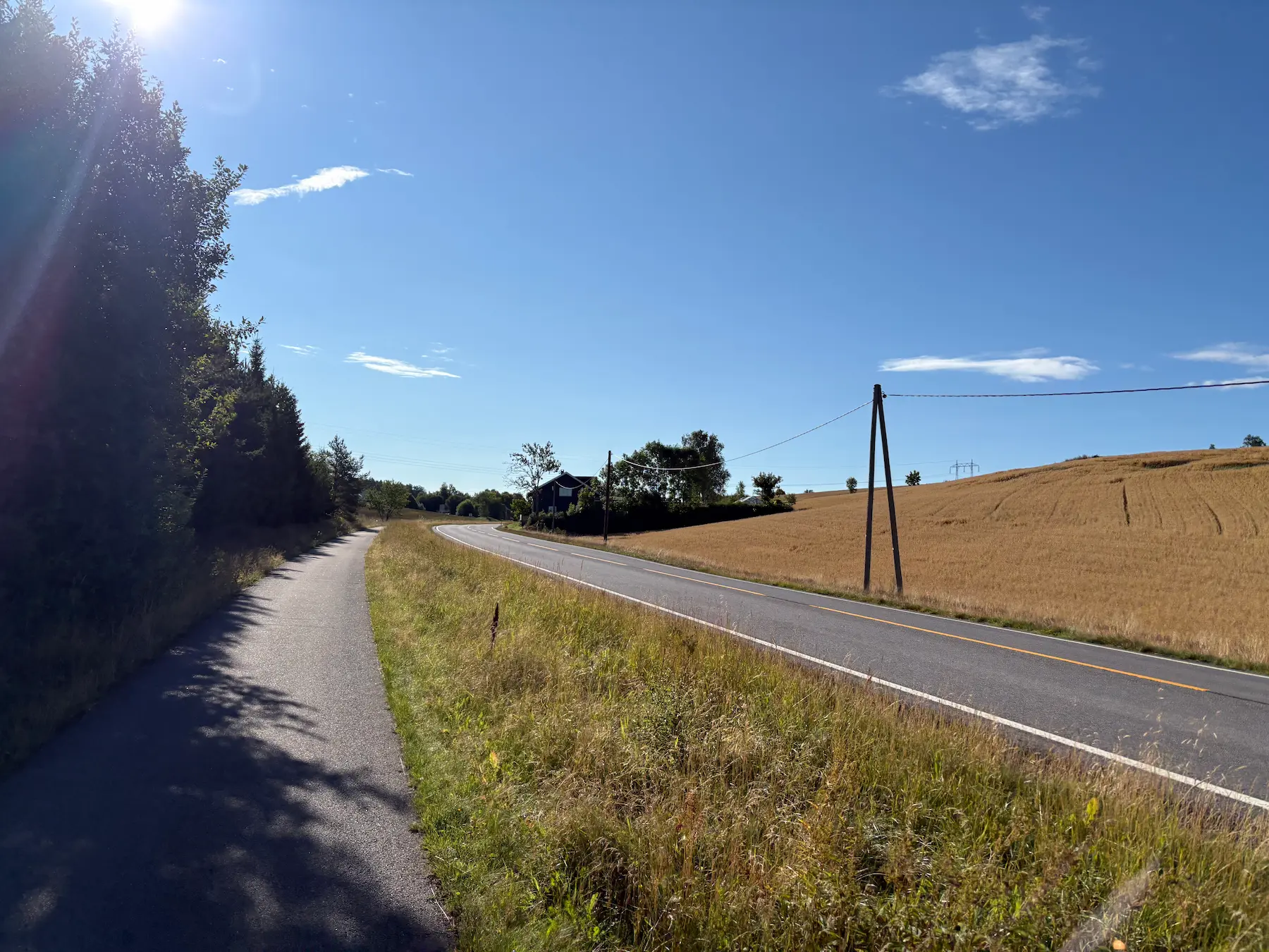
Just before Tusenfryd you turn off onto the cycle path running alongside the county road, and the climb towards Langhus begins. It's 4.9 kilometres long at an average of 2.4 per cent. Long enough to feel, never steep enough to get you out of the saddle. Langhusveien can carry a fair amount of traffic. I rode it early on a Sunday and there was barely a car about. Start early if you're taking this road.
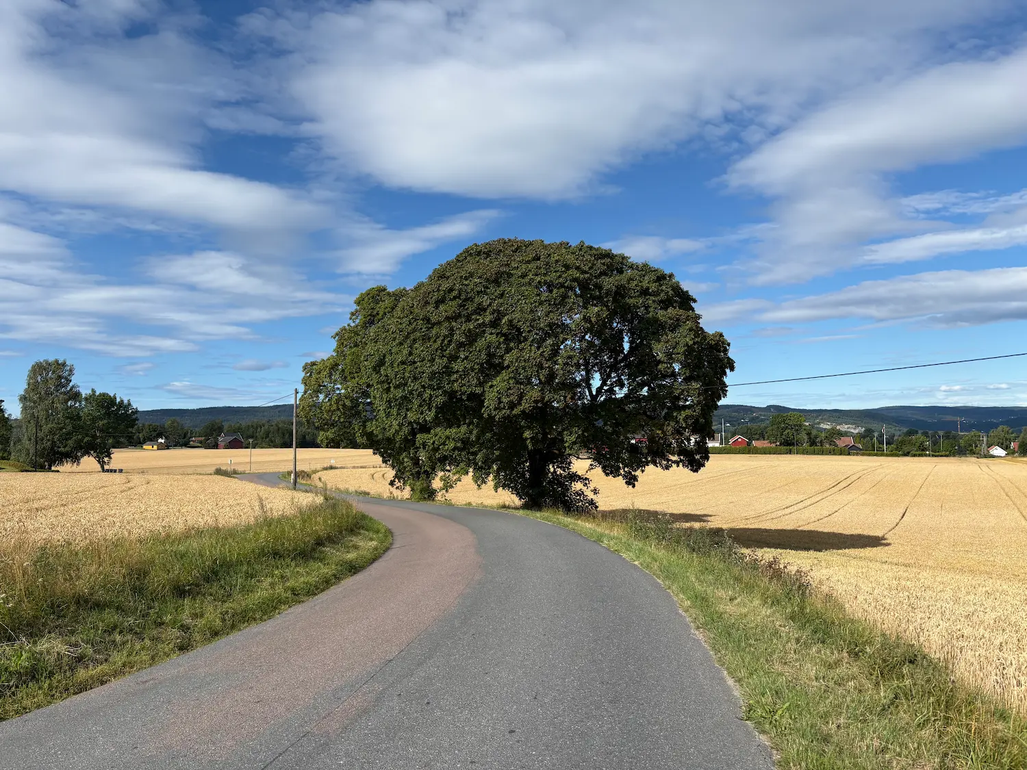
At the school in Langhus you turn onto Bøhlerveien, and a hundred metres later you're in open country. Løkenveien is typical Follo: narrow, no centre line, fields either side. The route skirts Ski, a kilometre and a half from the station, so you never notice you've passed a town. Stasjonskafeen in Kråkstad is at km 36, four hundred metres off the route in the old station building. Open every day, and the detour is worth it.
Asperudveien
After Kråkstad you have a short stretch on Askimveien. It can be busy, so take the cycle path alongside — it's only a few hundred metres before you turn left anyway. Then Asperudveien goes straight up. 2.9 kilometres and 73 metres of climbing, with half a kilometre at 6.8 per cent partway up the climb. You'll have an hour and a half in your legs by the time you get here, so you're warm, but you'll feel it regardless. The high point of the route is at the top, 173 metres.
Skotbuveien and Kroer
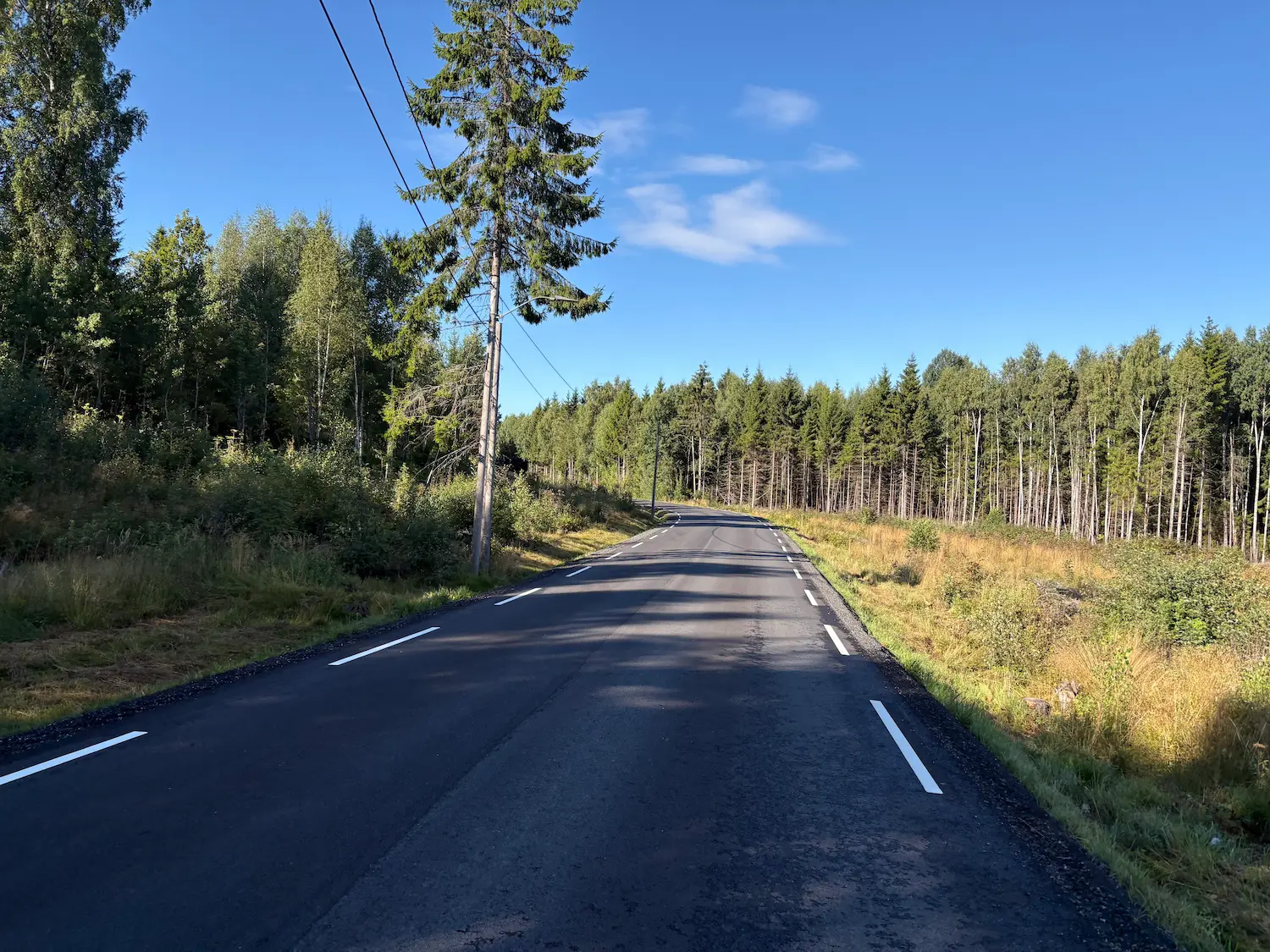
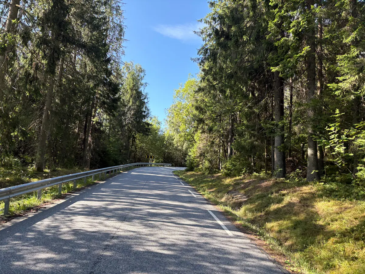
Skotbuveien had fresh tarmac when I rode it. Gently downhill through the forest, and the best stretch on the whole route for letting the bike run. After the descent you cross Askimveien onto Audenbølveien — narrow roads with next to no traffic. The Son loop runs through this same landscape and shares some of these roads. Kroer is at km 49.
Garder and Vestby
From Kroer it climbs gently to Garderveien. At Garder, km 58, the old roads from Hobøl, Kroer and Såner meet, and there's been a church here since the Middle Ages — the junction you turn into is older than almost anything else in Follo. The southernmost point of the route comes at km 60, then a 39-metre kick, and you're in Vestby. The church you pass at km 65 dates from 1886, but the medieval church that stood there before was pulled down the year before that, and its stone is in the graveyard wall you ride past. Galbyveien beyond is flat and gently downhill, narrow and twisting, and you hold speed without pushing.
Vestbyveien into Drøbak
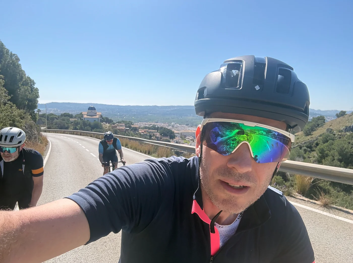
This is where the climbing is. Two ramps — the first has half a kilometre at 9.6 per cent, the second 7.4 per cent over roughly the same distance. Both are short, but they're the steepest on the route and they come at seventy kilometres. The fjord opens up between them for the first time. Coming down Jørnsebakken you get a proper look at the sea. Into Drøbak it's a 30 zone with a fair bit of traffic — keep to the limit, the locals appreciate it.
Drøbak and home
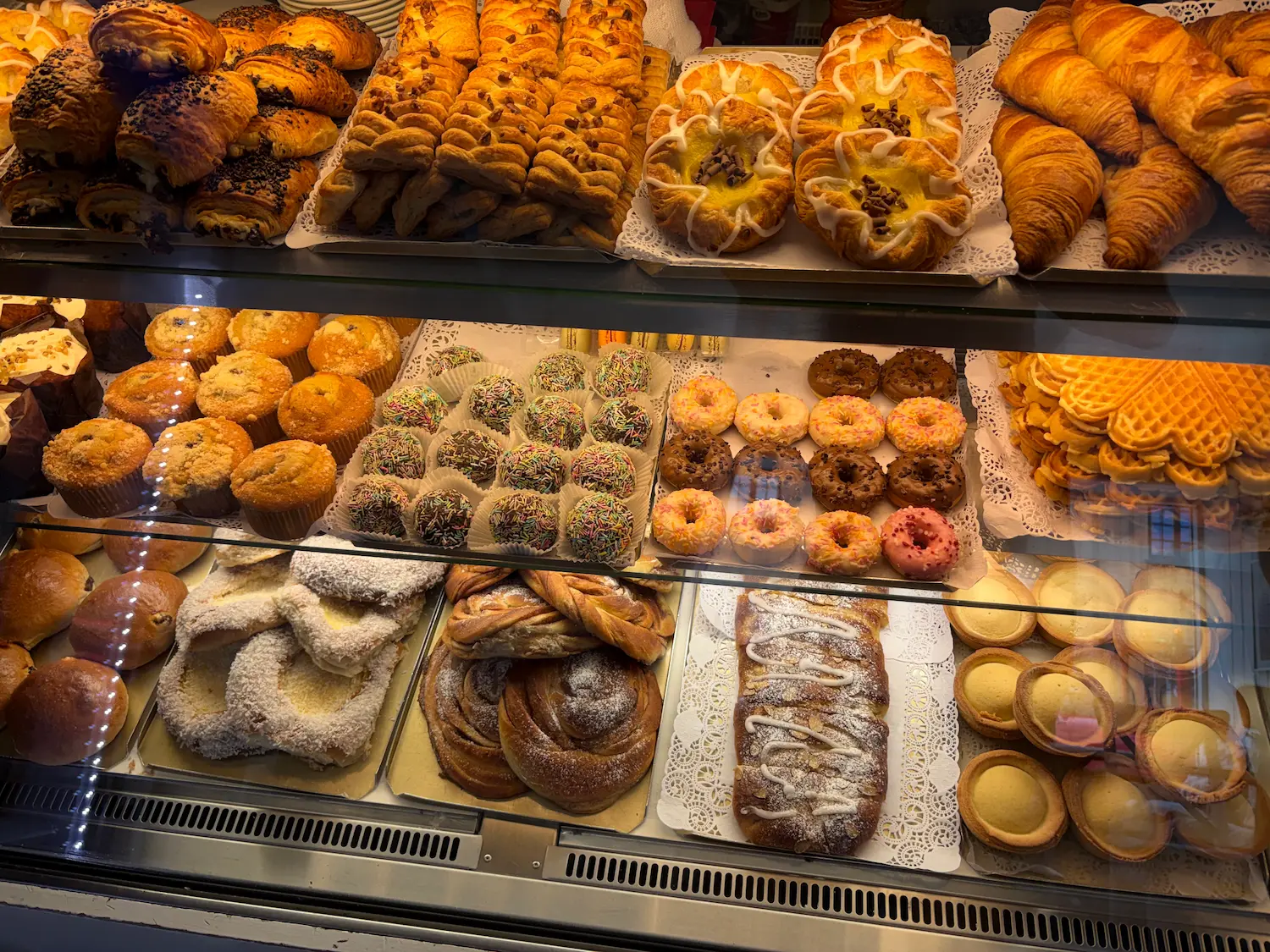
Pavels Bakeri is on Storgata. Cinnamon buns, custard buns, focaccia and baguettes, and the coffee is good. Out in the sound lies Oscarsborg. The Blücher was sunk from there on 9 April 1940, and the hours that bought gave the royal family and the government time to get out of Oslo. At 77 kilometres, this is the turning point of the route.
Out of Drøbak the road climbs Lindtruppbakken and past the golf course — 2.7 kilometres and 82 metres, the last sustained climb of the day. Then you follow Osloveien north along Årungen, the national rowing centre, which hosted the Junior World Championships in 1993. Directly across the water is Vassumbakken, one of the steepest hills in Follo. You're spared that one. At the kiosk at Nesset, km 90, the last rise towards Vinterbro begins: 2.6 kilometres and 58 metres. Take the cycle path on the left-hand side and you'll have no cars behind you. Past Tusenfryd and out onto Gamle Mossevei you're back on the roads you rode out on, and the last stretch runs on cycle path with the fjord alongside. A drink at Sørenga to finish isn't a bad idea.
Kilometre by Kilometre
Cycle path from the Opera House heading south, past Sørenga and Hvervenbukta at km 10. On along Gamle Mossevei with Gjersjøen on your left from km 13. Good road, little traffic. Kiosk and grill at Hjulet, km 19.
Turn off onto the cycle path alongside the county road just before Tusenfryd. Climb towards Langhus km 21.4–26.3: 4.9 km, 2.4 %, 118 m. Langhusveien can carry a fair amount of traffic. Bøhlerveien from Langhus school at km 25, then Løkenveien skirting Ski. Kråkstad at km 35.9.
Short stretch on Askimveien with a fair amount of traffic, cycle path alongside. Turn left onto Asperudveien km 37.1–40.0: 2.9 km, 73 m, with half a kilometre at 6.8 % partway up the climb. High point of the route 173 m at km 39.9. Skotbu at km 40.7.
Skotbuveien freshly surfaced, gently downhill through forest. Cross Askimveien onto Audenbølveien — narrow, next to no traffic. On via Holtveien and Kroerveien. Kroer at km 49.
Gentle climbing from Kroer to Garderveien, south past Garder at km 58. Southernmost point of the route km 60.2. Onto Topperveien and back to Garderveien. 39-metre kick km 60.8–61.8. Onto Kirkeveien, past Vestby church at km 64.7, then Hvistenveien.
Galbyveien and Drøbakveien flat and gently downhill, narrow and twisting. Turn onto Vestbyveien: first ramp km 71.8–72.8 with half a kilometre at 9.6 %, second km 74.1–74.9 at 7.4 %. Down Jørnsebakken, 30 zone into the centre. Pavels Bakeri on Storgata at km 76.7.
Up Lindtruppbakken km 76.3–79.0: 2.7 km, 82 m. Past the golf course at km 78.9 and on along Osloveien beside Årungen at km 86. Nessetveien gently downhill, kiosk at Nesset km 90.3. Cycle path on the left-hand side up towards Vinterbro km 90.9–93.4: 2.6 km, 58 m. Across Høyungsletta past Tusenfryd at km 94.2, out onto Gamle Mossevei and cycle path the last stretch to the Opera House.
Route map & elevation profile
Highlights
- •Skotbuveien from km 41 — fresh tarmac, gently downhill through the forest, the best stretch on the route for letting the bike run
- •The grain country between Kråkstad and Kroer: narrow roads with no centre line, fields either side and next to no traffic
- •The junction at Garder, km 58, where the old roads from Hobøl, Kroer and Såner meet, and where there's been a church since the Middle Ages
- •Vestbyveien into Drøbak: two short ramps at 9.6 and 7.4 per cent, with the fjord opening up between them
- •Pavels Bakeri on Storgata in Drøbak at km 77 — cinnamon buns, custard buns and good coffee at the turning point
Must know
- ⚠There are no categorised climbs and the high point is 173 metres. It's the distance that makes the day, not the hills
- ⚠Vestbyveien at km 72 is the steepest on the route, half a kilometre at 9.6 per cent. It comes at seventy kilometres
- ⚠Langhusveien can carry a fair amount of traffic. Start early, ideally on a Sunday morning, and you'll barely see a car
- ⚠Askimveien after Kråkstad carries traffic. Take the cycle path alongside — it's only a few hundred metres before you turn left
- ⚠Past the kiosk at Nesset the cycle path runs on the left-hand side of the road. Take it up towards Vinterbro and you'll have no cars behind you
- ⚠Into Drøbak it's a 30 zone with a fair bit of traffic. Keep to the limit
Café & Water
- km 35.9Stasjonskafeen
Four hundred metres off the route in the old station building at Kråkstad. Open every day. Well placed as the first stop, right before Asperudveien.
- km 76.7Pavels Bakeri
On Storgata in Drøbak, right on the route. Cinnamon buns, custard buns with coconut, focaccia and baguettes, and good coffee. The turning point of the route, with 38 kilometres still to ride home.
Frequently asked questions
- How long is the route?
- 114.8 kilometres with 1,355 metres of climbing, from the Opera House and back. Allow three and a half to five hours, more with stops.
- Is it a hard route?
- Moderate. 114.8 kilometres is a fair way, but there isn't a categorised climb anywhere on it and the high point is 173 metres. If you've done a hundred kilometres before, this is a comfortable day. The steepest thing is half a kilometre at 9.6 per cent on Vestbyveien.
- How steep does it get?
- Vestbyveien into Drøbak is the steepest: half a kilometre at 9.6 per cent on the first ramp, 7.4 per cent on the second. Both are short, but they come at seventy kilometres.
- Where can I stop for food?
- Stasjonskafeen in Kråkstad at km 36 is four hundred metres off the route and open every day. Pavels Bakeri on Storgata in Drøbak at km 77 is the main stop.
- Is it the same road back?
- Partly. The first and last twenty kilometres share Gamle Mossevei, ridden in opposite directions. The middle section through Follo you ride only once.
- How does it differ from the Son loop?
- The Son loop is almost the same length and uses some of the same roads around Kroer and Garder, but it turns at Son. This one carries on west to Drøbak and the fjord, and adds Skotbu in the east.
Know a better line?
Submit your local route and get featured with your own author profile, Strava, Instagram and Buy Me a Coffee link.
Share a Route → →Similar routes
Oslo Cycling — Son Loop
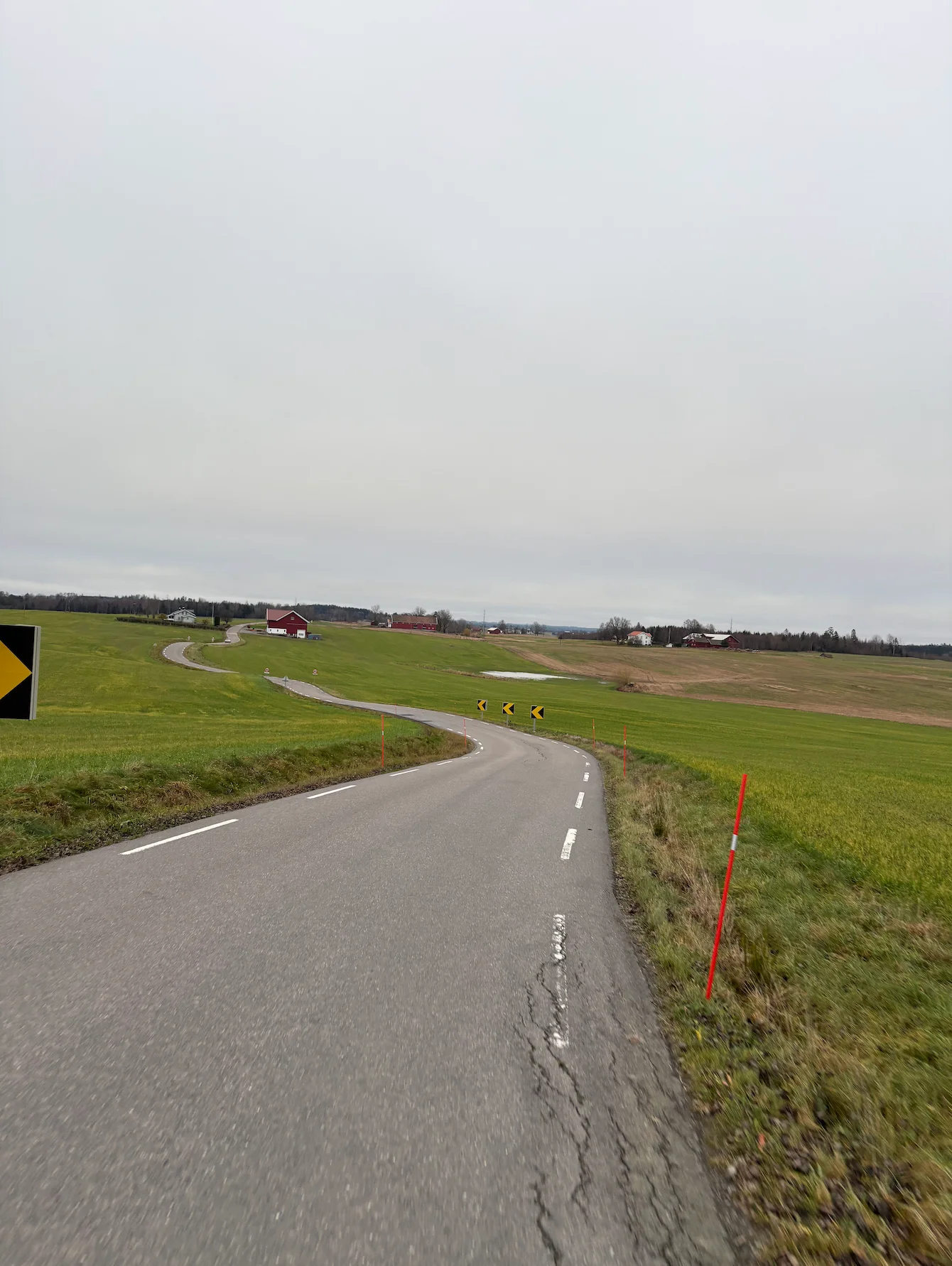
Almost the same length, and it shares the roads around Kroer and Garder — but it turns at Son, where this one carries on west to Drøbak and the fjord
Oslo Cycling — Drøbak
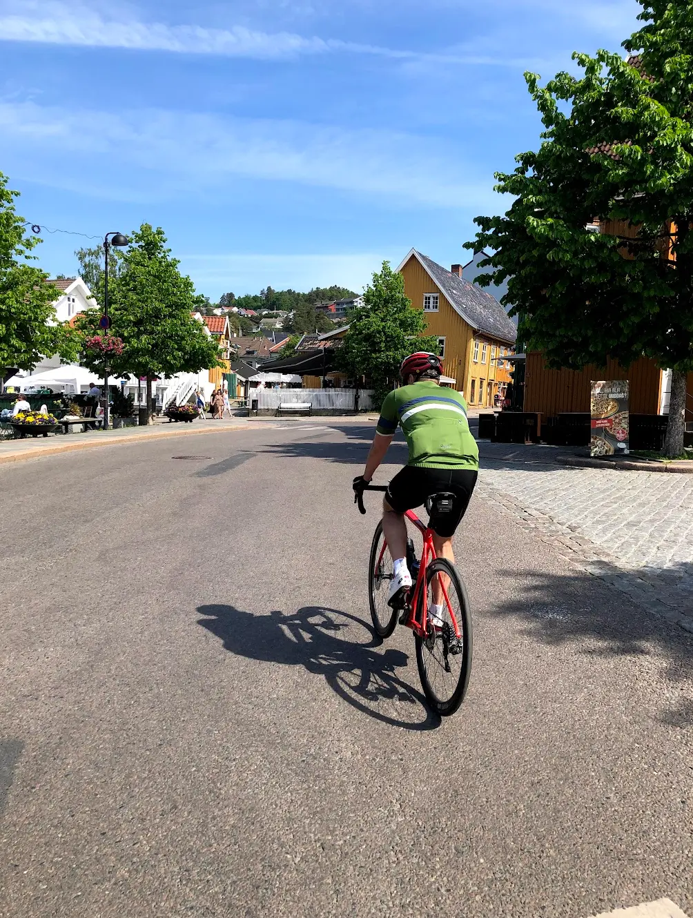
The short way to Drøbak and back on the fjord side, where this route arrives from the east after crossing Follo
Oslo Cycling — Vestby Loop
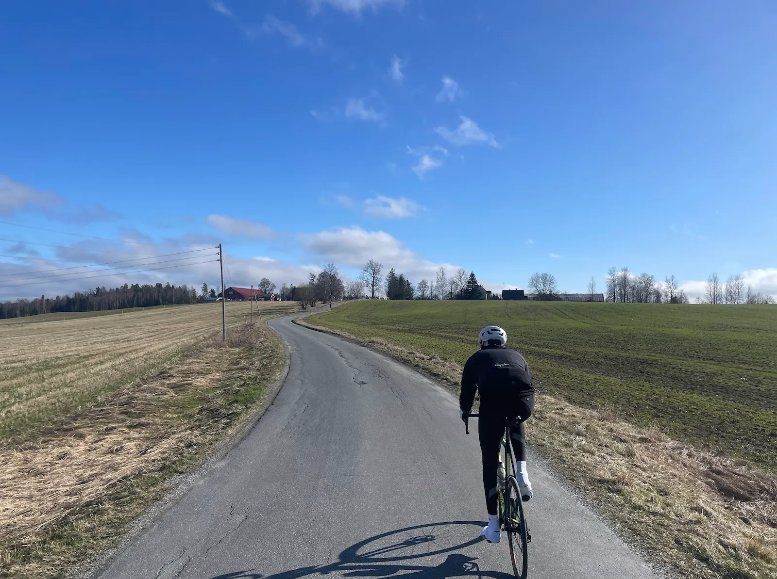
Half the distance over the same fjord-side corridor — Gamle Mossevei, Nesset and Vinterbro — without the Follo crossing east to Skotbu