Oslofjorden Rundt
About this Route
← Oslo & Oslofjord Cycling GuideA full lap of the Oslofjord: 199 km of riding plus a free ferry from Horten to Moss. Most of the climbing is on the west side — 1,775 of the day's 2,455 metres are done before you board. It's flatter after Moss.
A full lap of the Oslofjord: 199 km of riding plus a 9.3 km ferry across from Horten to Moss. The GPX file reads 208 because the crossing is in the track. Total climbing is 2,455 m, and most of it comes before the ferry — 1,775 on the west side, 679 after Moss.
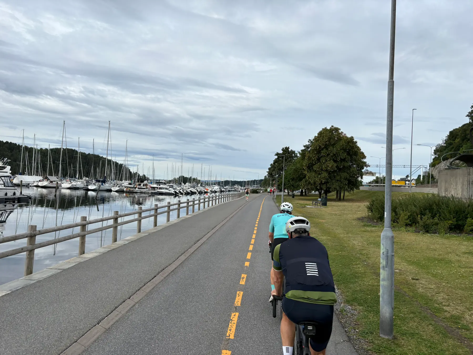
The first thirty kilometres aren't the best part of the day. You roll out of the centre along Frognerstranda, past the marina, then west on a mix of cycle path and main road. The surface is fine, but this stretch carries traffic. Go early on a Sunday and most of it isn't there. The climb towards Lier comes in two steps with a dip between them, and the top is at km 33.6 at Liertoppen — 233 m, the high point of the west side. The view opens out over Drammen and the farmland around it, then it's just under five kilometres down into town.
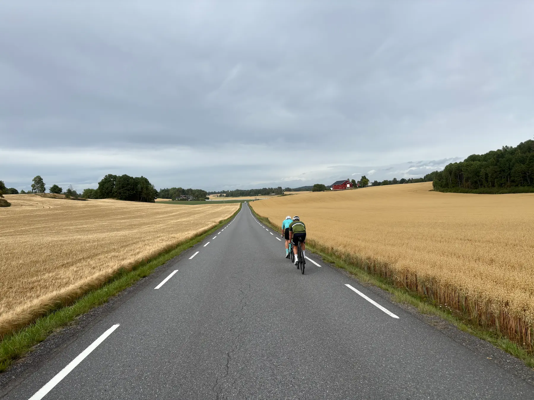
Drammen comes at km 44. Austadbakken starts right after: 2.3 km at 5 per cent, 117 m, category 4. The roads narrow from here, grain fields take over, and the traffic thins out. Stay on the west side of the E18. It's the better road.
Sande is at km 65. Stasjonsgaarden Kafe&bar is right on the route and does baguettes and hot food. Eat here, because Hanekleiva starts immediately after. It's the longest climb of the day: 3.7 km at 4.7 per cent, 178 m, category 3. The gradient is steady the whole way, so find a rhythm and hold it.
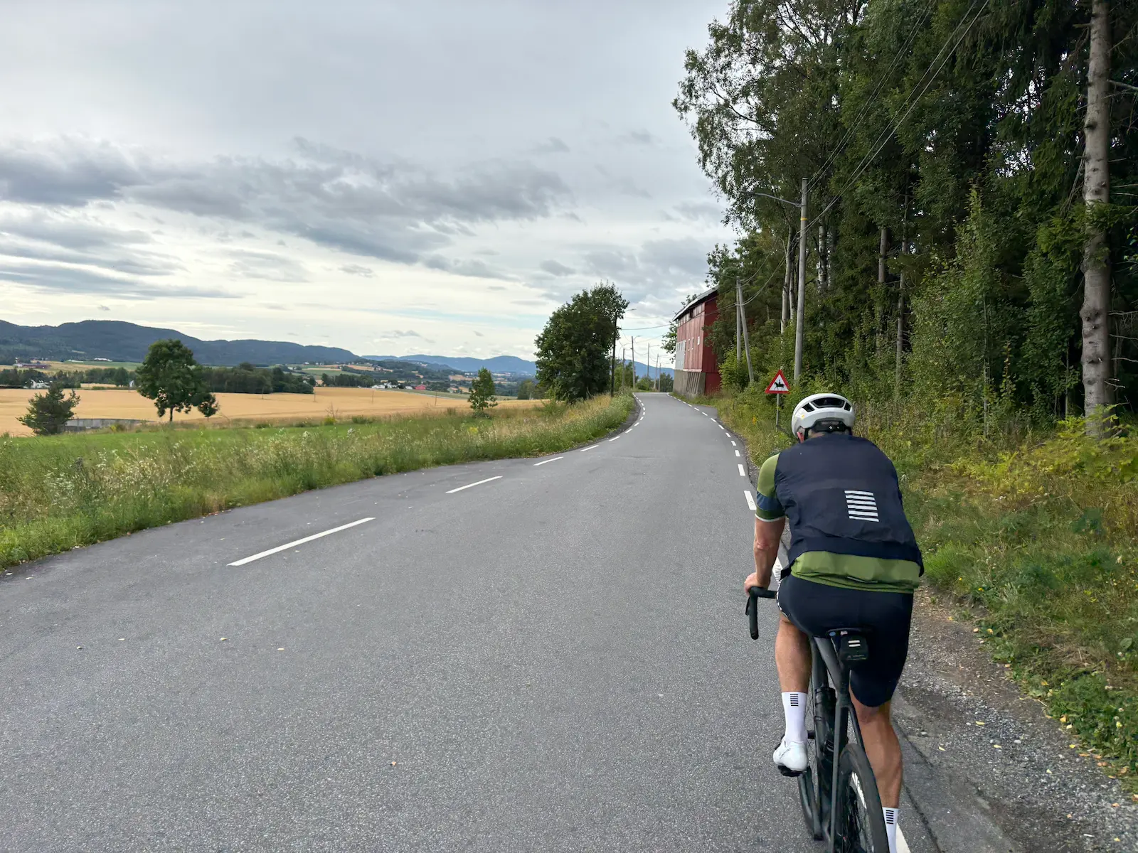
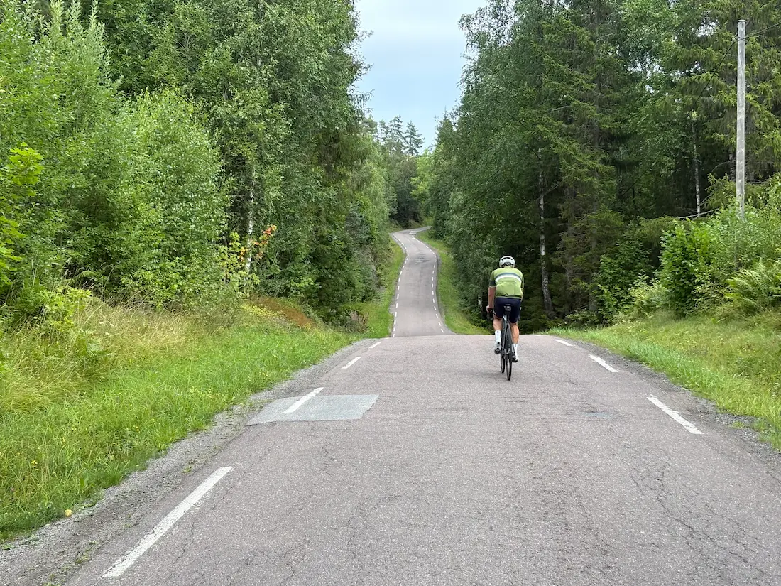
Odderudveien follows the descent off Hanekleiva. The tarmac is rougher, but it's good riding and you'll barely see a car. Then Hvittingfossveien, which carries more traffic — the cycle path alongside is wide and well surfaced, so stay on it. You turn off at Grennslinna, and that's the best riding of the day. Narrow roads, rolling terrain, almost no traffic. And some properly steep ramps.
The hardest kilometre is Vivestadåsen, from km 97.3: 95 m of climbing in a little over a kilometre, 8.7 per cent average. No category and no Strava segment, but it comes after 97 km and it shows. The steepest ramps are later, around km 116, touching 18 per cent on the short pitches. Your computer will read higher. The last stretch into Horten runs on cycle path, so you're clear of the traffic coming in.
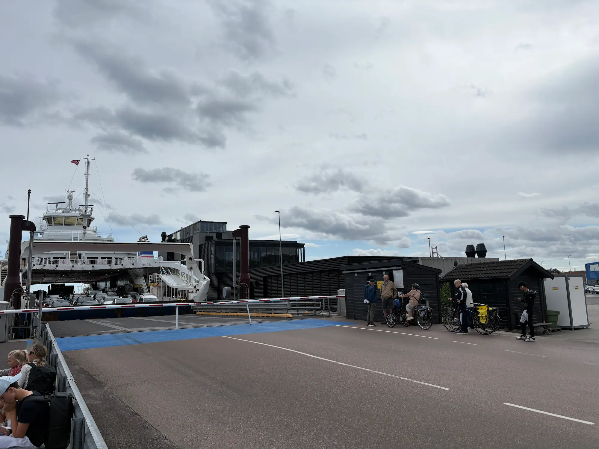
The ferry terminal at Horten is at km 131. Bastø Fosen runs year-round, every half hour during the day, and cyclists go free. The crossing takes about 35 minutes. There's plenty of room on board and a proper cafeteria, so this is the second food stop of the day.
Getting out of Moss is messy for a few minutes. Everyone comes off the ferry at once and the traffic takes a while to clear. Then it opens up, and the roads north to Son are good again. You come into Son the back way, which is the better approach — dense timber houses and a short cobbled section through the centre. Hagestua is at km 155 if you need to top up.
Two climbs come shortly after Son. Neither is steep, but both are long and gradual, and the first averages 5.2 per cent over a kilometre. That's nothing early in a ride. With 155 km in the legs it's different. Once you're over them it eases into long flat sections and gentle descent.
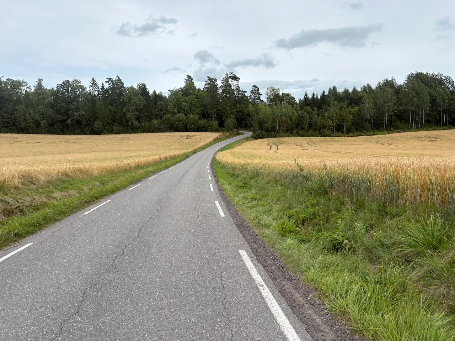
The route passes east of Drøbak, so the town is on your left, and dropping down for a look isn't much of a detour. Then Klommesteinveien, a favourite among local riders. Rolling terrain, good tarmac, grain fields either side. You hold speed here without working for it. Vinterbro, Tusenfryd, Gjersjøen and Hvervenbukta follow, and the cycle path along the old Mosseveien takes you the last stretch in with the water beside you.
If you already know Oslofjorden Rundt, you've probably ridden Oslofjorden Rundt Mini. It shares roughly half its roads with this one but goes the other way round, so the climbs here are descents there. It's a different ride, not a shorter version of this one.
Kilometre by Kilometre
Out from the Opera House along Frognerstranda, past the marina and west. The first thirty kilometres run on cycle path and main road with a fair amount of traffic — go early on a Sunday. The climb towards Lier comes in two steps: 3.5 km at 4.1 per cent from km 20, then a dip, then steady climbing again.
The top is at km 33.6 at Liertoppen. At 233 m it's the high point of the west side, and the view opens out over Drammen and the farmland around it. The descent runs 4.75 km at 4.1 per cent. Drammen is at km 44, two metres above sea level.
The climb out of Drammen. 2.3 km at 5 per cent and 117 m, category 4. Not long, but it comes straight after the town crossing and wakes the legs up.
The roads narrow here and the traffic disappears. Grain fields on both sides. Stay on the west side of the E18 — it's the better road. Stasjonsgaarden Kafe&bar in Sande is at km 65 and does baguettes and hot food.
The longest climb of the day starts right after Sande. 3.7 km at 4.7 per cent, 178 m, category 3. The gradient is steady the whole way, so find a rhythm and hold it.
The descent off Hanekleiva ends at Odderudveien. Rougher tarmac here, but good riding and hardly any cars. Then Hvittingfossveien, which carries more traffic — the cycle path beside it is wide and well surfaced, so stay on it. You turn off at Grennslinna, and that's where the best of the route starts.
Vivestadåsen is the hardest kilometre of the day: 95 m in a little over a kilometre, 8.7 per cent average. No category and no Strava segment, but it comes after 97 km. The steepest ramps are around km 116, touching 18 per cent, though they don't last. Narrow roads and rolling terrain throughout.
The last stretch runs on cycle path, so you're clear of the traffic coming into town. The ferry terminal is at km 131.
Bastø Fosen runs every half hour during the day, year-round, and free for cyclists. The crossing takes about 35 minutes. There's food on board, so this is the second stop of the day. The crossing is in the GPX track.
Getting out of Moss takes a few minutes — everyone comes off at once. Then it opens up and the roads north are good again. You come into Son the back way, through dense timber houses and a short cobbled section in the centre. Hagestua is at km 155.
Two long, gradual climbs shortly after Son — the first averages 5.2 per cent over a kilometre. With 155 km in the legs they register. After that it eases. The route passes east of Drøbak, so the town is on your left and dropping down for a look isn't far. Klommesteinveien is a favourite among local riders: rolling terrain, good tarmac, grain fields either side. Vinterbro, Tusenfryd, Gjersjøen and Hvervenbukta follow, and the cycle path along the old Mosseveien takes you the last stretch in.
Gallery
Route map & elevation profile
Key Climbs
Vivestadåsen
Cat 4Highlights
- •Grennslinna to Horten: narrow roads, rolling terrain and almost no traffic. The best riding on the route.
- •The Horten–Moss ferry. Free for cyclists, 35 minutes, food on board.
- •Klommesteinveien north of Drøbak. Rolling, good tarmac, grain fields either side.
- •The view from Liertoppen over Drammen at km 33.6, then just under five kilometres down into town.
- •Hanekleiva right after Sande. The longest climb of the day, steady all the way.
- •Riding the whole fjord in a day and finishing where you started.
Must know
- ⚠The ferry is free and runs every half hour. Bastø Fosen, Horten–Moss, year-round. No booking. Allow 35 minutes crossing plus waiting.
- ⚠The first thirty kilometres carry the most traffic. Go early on a Sunday.
- ⚠1,775 of 2,455 m come before the ferry. Don't spend your legs on the west side.
- ⚠Odderudveien has rougher tarmac. Not bad, but worth knowing on narrow tyres.
- ⚠Leaving Moss is messy. Everyone comes off the ferry at once. Take the first few minutes easy.
- ⚠You're never far from a shop. Sande at km 65 and Son at km 155 are the natural stops.
Café & Water
- km 65.3Stasjonsgaarden Kafe&bar
Baguettes and hot food, decent range. The last proper stop before Hanekleiva, which starts right behind it.
- km 155.1Hagestua
Right on the water in Son. The last natural stop before the 53 km home to Oslo.
Frequently asked questions
- Does the ferry cost anything?
- No. Bastø Fosen doesn't charge cyclists on the Horten–Moss crossing. You wheel on, park the bike and go up.
- Do I need to book the ferry?
- No. It runs every half hour during the day, year-round. We waited ten minutes.
- How long does the route take?
- Most riders need 8–10 hours including stops and the crossing. 199 km and 2,455 m is a full day.
- Can I split it over two days?
- Yes. Horten is the natural place to stop — 131 km and most of the climbing are behind you, and there's accommodation in town. Day two is 68 flat kilometres from Moss.
- Is the route busy?
- The first thirty kilometres out of Oslo, yes. After Drammen the traffic thins out, and from Grennslinna to Horten you'll barely see a car. Leaving Moss is messy for a few minutes after the ferry docks.
- Where can I eat?
- Stasjonsgaarden Kafe&bar in Sande at km 65 does baguettes and hot food. The ferry has a cafeteria. Hagestua in Son at km 155 is the last natural stop before Oslo.
- How steep does it get?
- The hardest kilometre is Vivestadåsen at km 97, averaging 8.7 per cent. The short ramps around km 116 touch 18 per cent but don't last. Nothing here needs special gearing if you've got 34/32 or lower.
Know a better line?
Submit your local route and get featured with your own author profile, Strava, Instagram and Buy Me a Coffee link.
Share a Route → →Similar routes
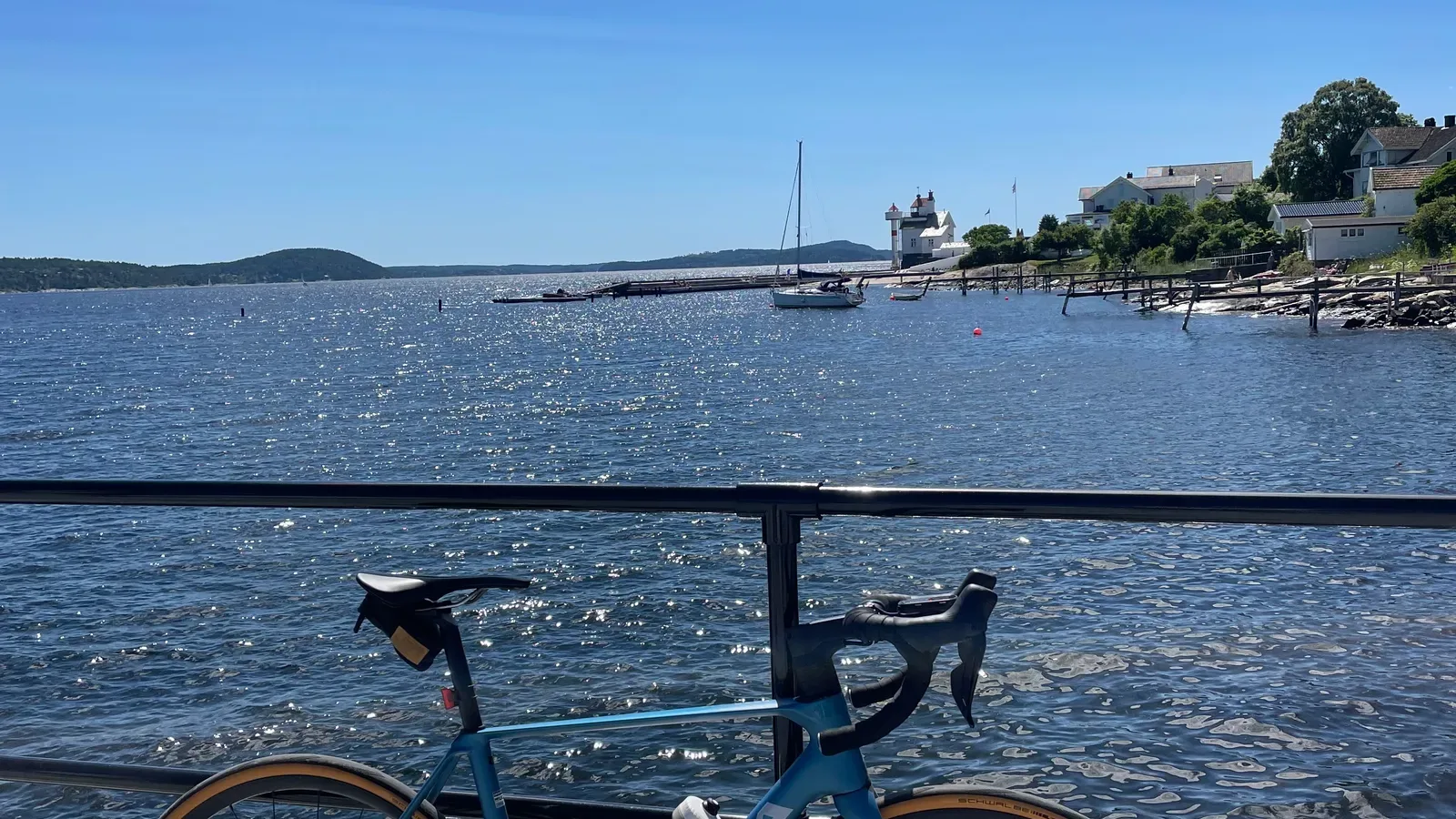
Oslofjord Short Loop
Circles the inner fjord the other way round — 67 of its kilometres are on this road, ridden in the opposite direction, so what climbs here descends there
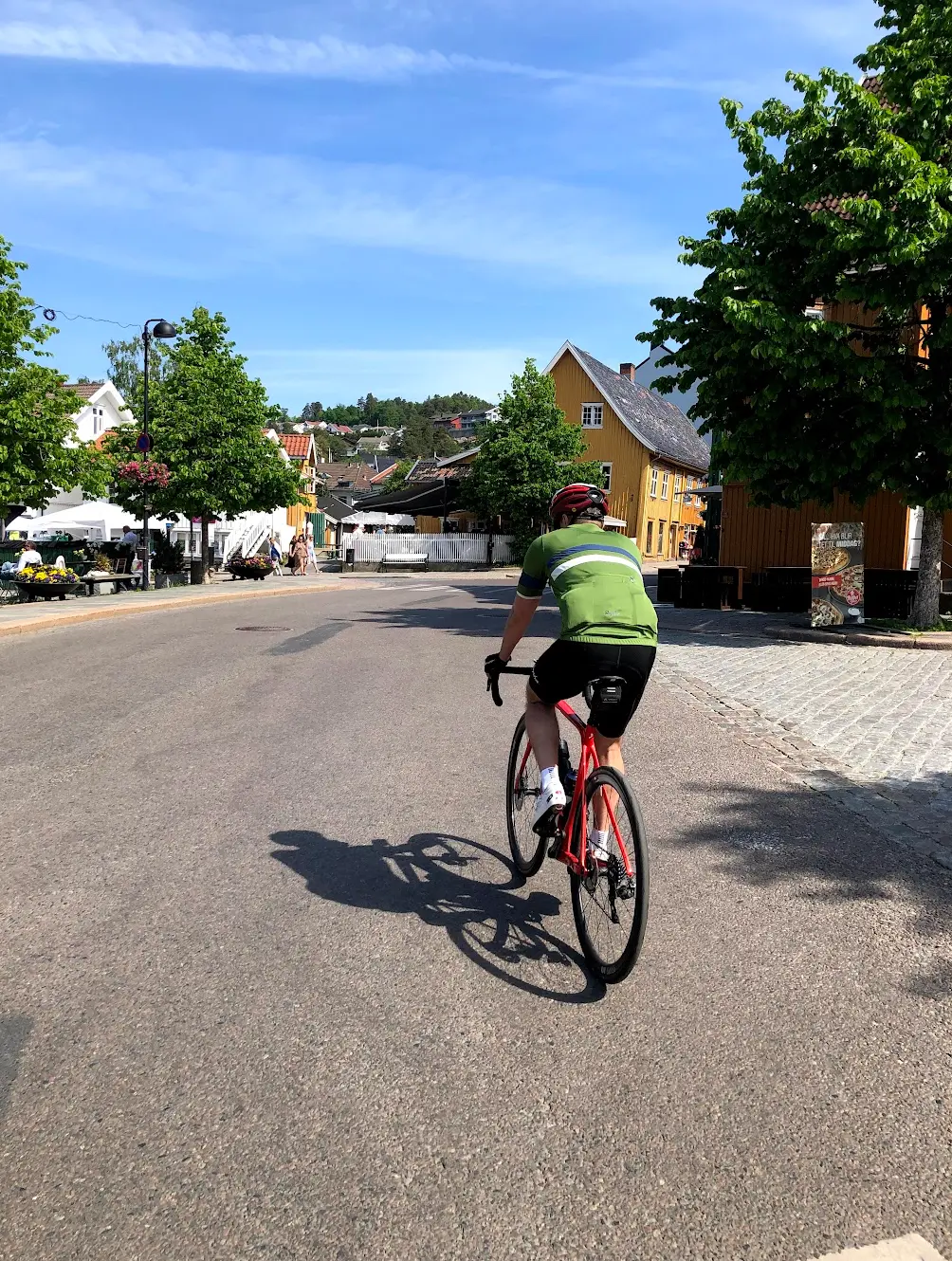
Oslo Cycling — Drøbak
81 % of the Drøbak loop sits inside this one — it rides that fjord-side corridor out and back, where this route passes through once on the way home
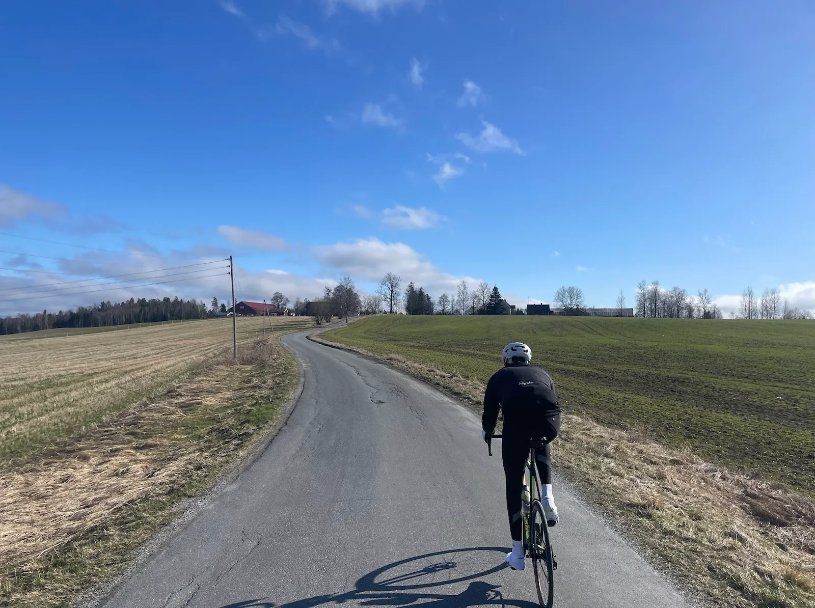
Oslo Cycling — Vestby Loop
75 % of the Vestby loop sits inside this one — same out-and-back corridor, taken here as a single northbound run-in to Oslo