San Remo Cycling — Colle d'Oggia Mountain Loop
About this Route
← Italian Riviera Liguria Cycling GuideA demanding loop from San Remo into the Ligurian hinterland. Colle d'Oggia is a 22.1 km HC climb at 4.8% average — rising from the coastal palms to 1,118 metres through olive groves and remote medieval stone villages. WorldTour teams base their winter training on these roads. 82 kilometres, 1,365 metres of climbing.
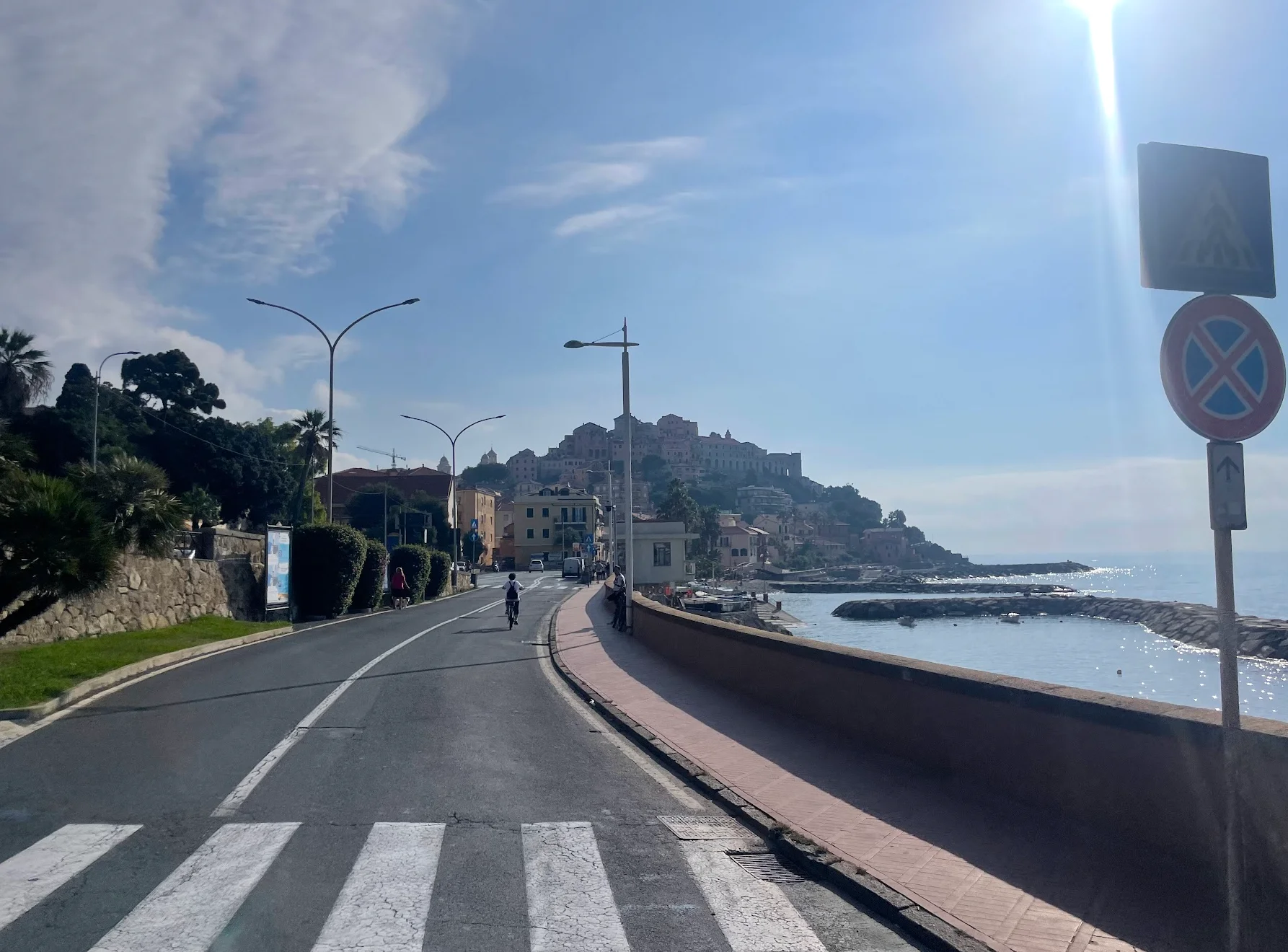
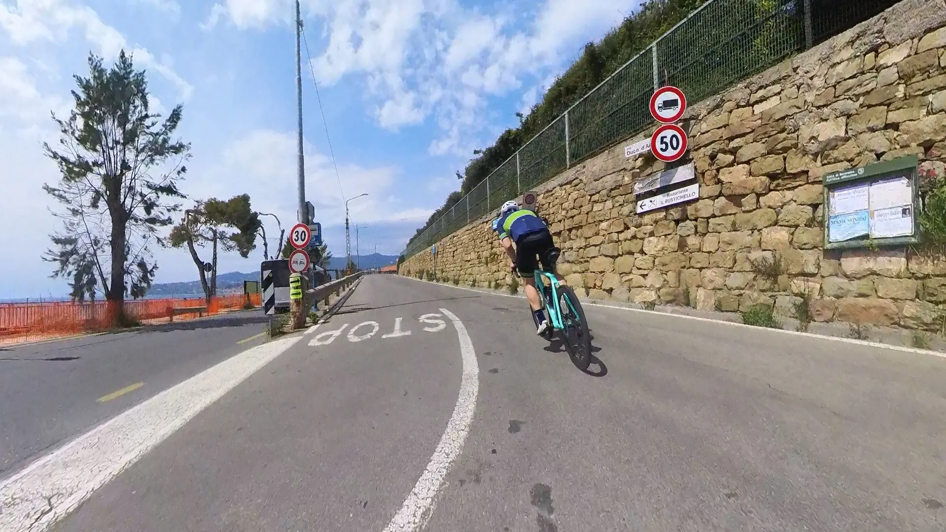
The first 20 km of this route gave no indication of what was coming. From San Remo the road follows the Ligurian coast east -- flat, fast, hugging the sea past Santo Stefano al Mare and on toward Imperia. It felt like a rest day warm-up. Then the road turned inland, and everything changed.
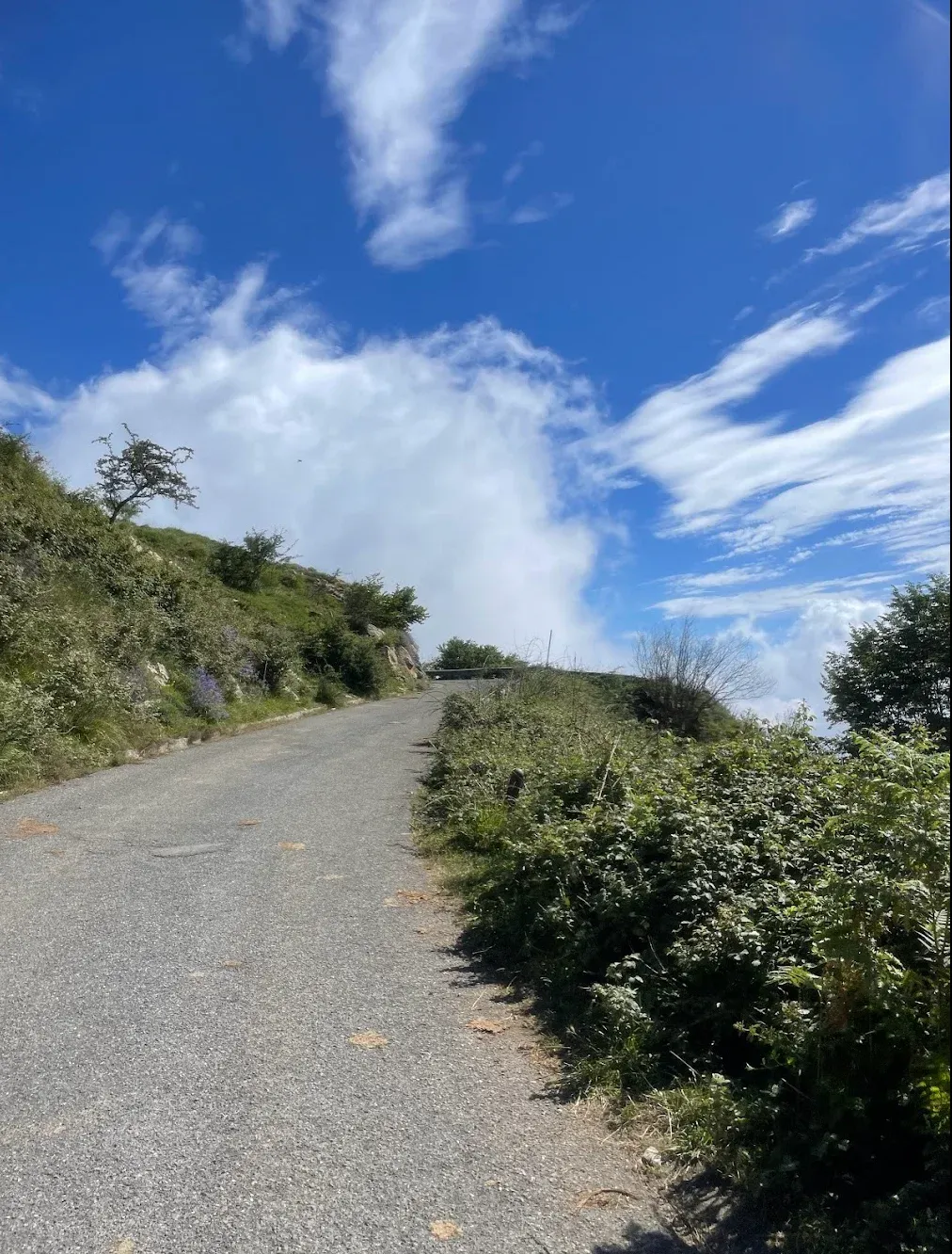
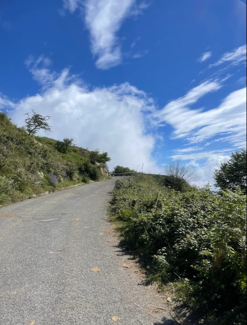
The climbing begins gently through olive groves and terraced hillside villages, but the gradient builds steadily as you gain height. The road narrows and quietens -- by the time you are committed to the upper slopes of Colle d'Oggia there is almost no traffic at all, just the sound of the bike on the tarmac. The climb is 22.1 km at 4.8% average, a sustained HC climb that rises from the valley floor to 1,118 metres. When I rode this the views from the upper section were extraordinary -- the Ligurian Alps in every direction and the Mediterranean reduced to a thin blue line far below.
The summit felt genuinely remote. This is not a tourist road, and I had it almost entirely to myself. The descent drops through the hinterland on fast, sweeping roads -- through villages that feel unchanged in decades -- before eventually returning to the coast and the final flat kilometres back into San Remo. WorldTour teams train on these roads throughout the winter, and having ridden it I can see why -- it is serious climbing on beautiful, quiet roads.
Kilometre by Kilometre
From San Remo the route follows the coast east for approximately 20 km of flat riding to Imperia, hugging the Ligurian Sea. At Imperia the road turns inland and begins climbing through terraced olive groves and characteristic hill villages toward the foot of the main climb.
22.1 km at 4.8% average — a sustained HC climb to 1,118 metres. The gradient is consistent throughout with no brutal ramps. Views over the Ligurian Alps and the Mediterranean open up as you gain height.
A long descent through the hinterland before the final coastal section returns to San Remo.
Gallery
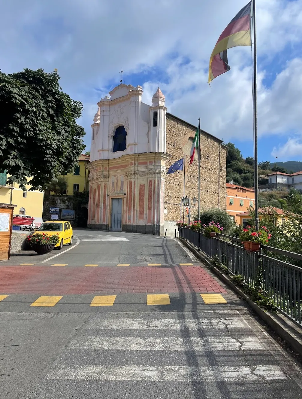
On the Road
Route map & elevation profile
Key Climbs
Highlights
- •Colle d'Oggia: A 22.1 km HC climb from the Val Prino valley up to 1,118 m. This isn't a climb you get through in half an hour — it's a long, grinding test of endurance through Liguria's remote entroterra.
- •Vasia: The village marks the halfway point, where the climb starts to bite in earnest. It's also your only real stop before the final push to the summit.
- •The view from the top: At 1,118 m the panorama opens towards the French border and down to the Ligurian coast — a wide, calm view that rewards every metre climbed.
- •Imperia and the coastal section: The route heads east to Imperia before turning into the Val Prino. Fast, flat kilometres that let you build rhythm and save the legs before the HC ascent begins — a world away from the noise of the main coast road.
- •WorldTour territory: This is where pro teams do their winter training. Good tarmac, olive terraces and almost no traffic — a completely different world from the busy coastal routes.
Must know
- ⚠A long day in the saddle: 82 km and nearly 1,400 m of climbing with a 22 km HC ascent demands preparation. This isn't a Sunday coffee ride — allow plenty of time and make sure your legs are ready for a serious day's work.
- ⚠No supplies after Vasia: Once you pass Vasia, there is nothing. Fill your bottles and grab a snack in the village before tackling the upper half — it's a long way to the next opportunity.
- ⚠Pace yourself: Colle d'Oggia starts steadily but builds. Don't burn too many matches early in the Val Prino — you'll need the energy when the climb bites in the final section.
- ⚠The descent demands focus: From the summit at 1,118 m there are many kilometres of technical bends back to the coast. Keep your speed in check, especially where the road is damp or shaded.
- ⚠Season — April to November: The summit sits at 1,118 m and can carry snow and ice in winter. Avoid January to March without checking conditions first. April to November is ideal.
Café & Water
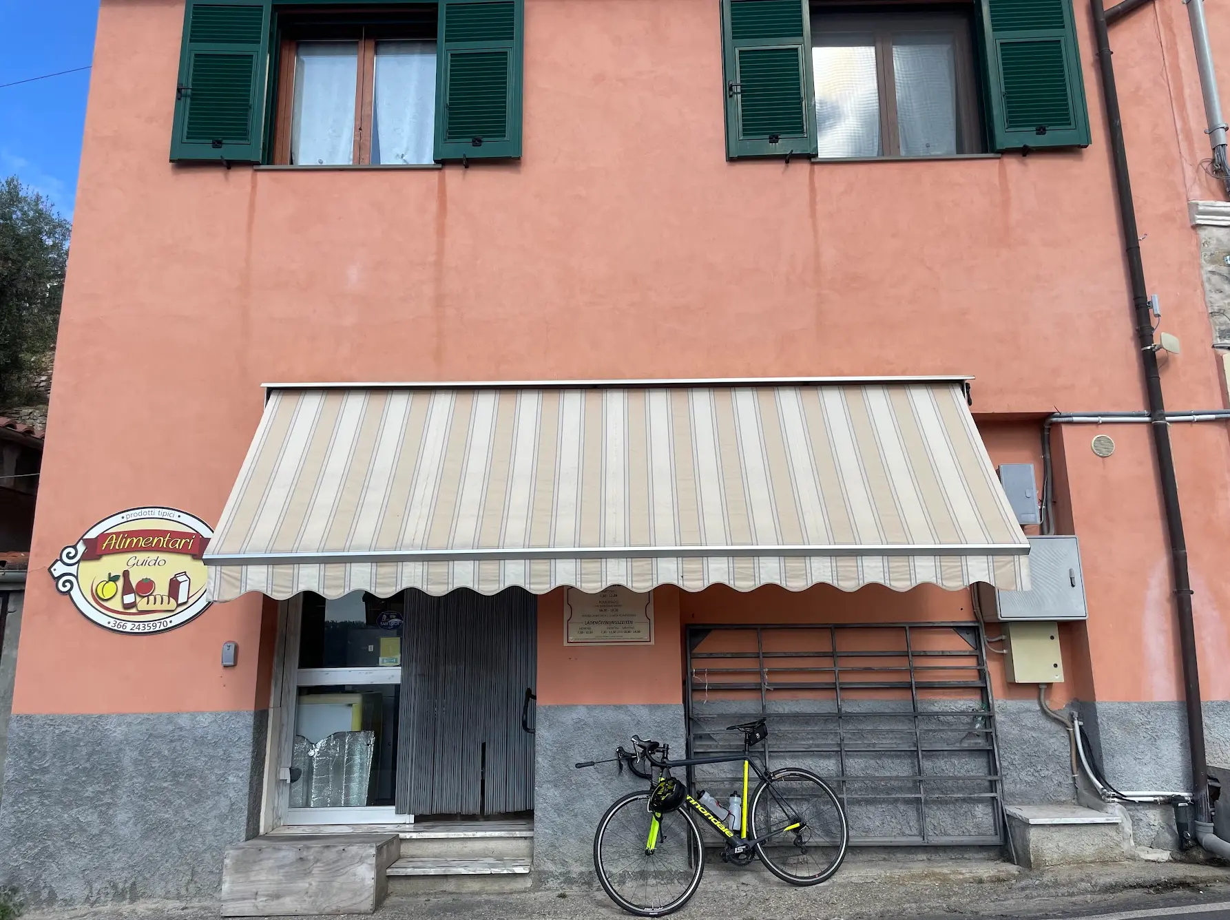
- km 31.8Alimentari Guido
Village shop in Vasia at km 31.8, right on the road at the start of the false flat. The only stop at this point in the climb — fill your bottles and eat something before the upper half starts in earnest.
- km 36.1Alimentari Pantasina
Small village shop in Pantasina at km 36.1, right on the road. Last chance to top up on food and water before the final push to 1,118 m.
Frequently asked questions
- How hard is the Colle d'Oggia climb?
- You climb 22.1 km at 4.8% average — an HC ascent that starts steadily but gets noticeably harder after Vasia. Climbing from sea level to 1,118 m without any flat recovery sections makes this a serious endurance test. The KOM on the segment is 57:46 — allow at least an hour to an hour and a half for the climb alone.
- Is this a route for experienced cyclists?
- Yes, it requires a solid fitness base. At 82 km and nearly 1,400 m of climbing, combined with a technical descent, it suits riders used to longer mountain routes. Not a beginner ride, but not extreme for a well-trained cyclist.
- Are there any stops along the way?
- Two village shops in the Vasia area: Alimentari Guido at km 31.8 and Alimentari Pantasina at km 36.1 — both right on the road. After Pantasina there is nothing until you're back down on the coast, so stock up here.
- When is the best time to ride Colle d'Oggia?
- April to November. The summit sits at 1,118 m and can hold snow and ice from December to March. May, June and September are ideal: comfortable temperatures and light traffic.
- Where does the route start?
- Right from the centre of San Remo. The loop takes you east along the coast to Imperia, into the Val Prino and up to the summit — before returning via the descent. You finish where you started, with no logistics at the far end.
Know a better line?
Submit your local route and get featured with your own author profile, Strava, Instagram and Buy Me a Coffee link.
Share a Route → →Similar routes
San Remo Cycling — Cipressa & Poggio Loop
Same San Remo base — coastal Milano-Sanremo classics instead of inland mountain
San Remo Cycling — Salita dei Vignai Loop
Same Vignai-Doggia interior in a shorter loop
Milano–San Remo Cycling Route — Cipressa & Poggio
Same San Remo region covered as the full Milano-Sanremo classic