
San Remo Cycling — Salita dei Vignai Loop
About this Route
← Italian Riviera Liguria Cycling GuideA classic loop from San Remo through the vineyard-covered hills of the Ligurian hinterland. The Salita dei Vignai — Climb of the Vineyards — rises to 1,025 metres through some of the most scenic roads in western Liguria. 63 kilometres, 1,197 metres of climbing.
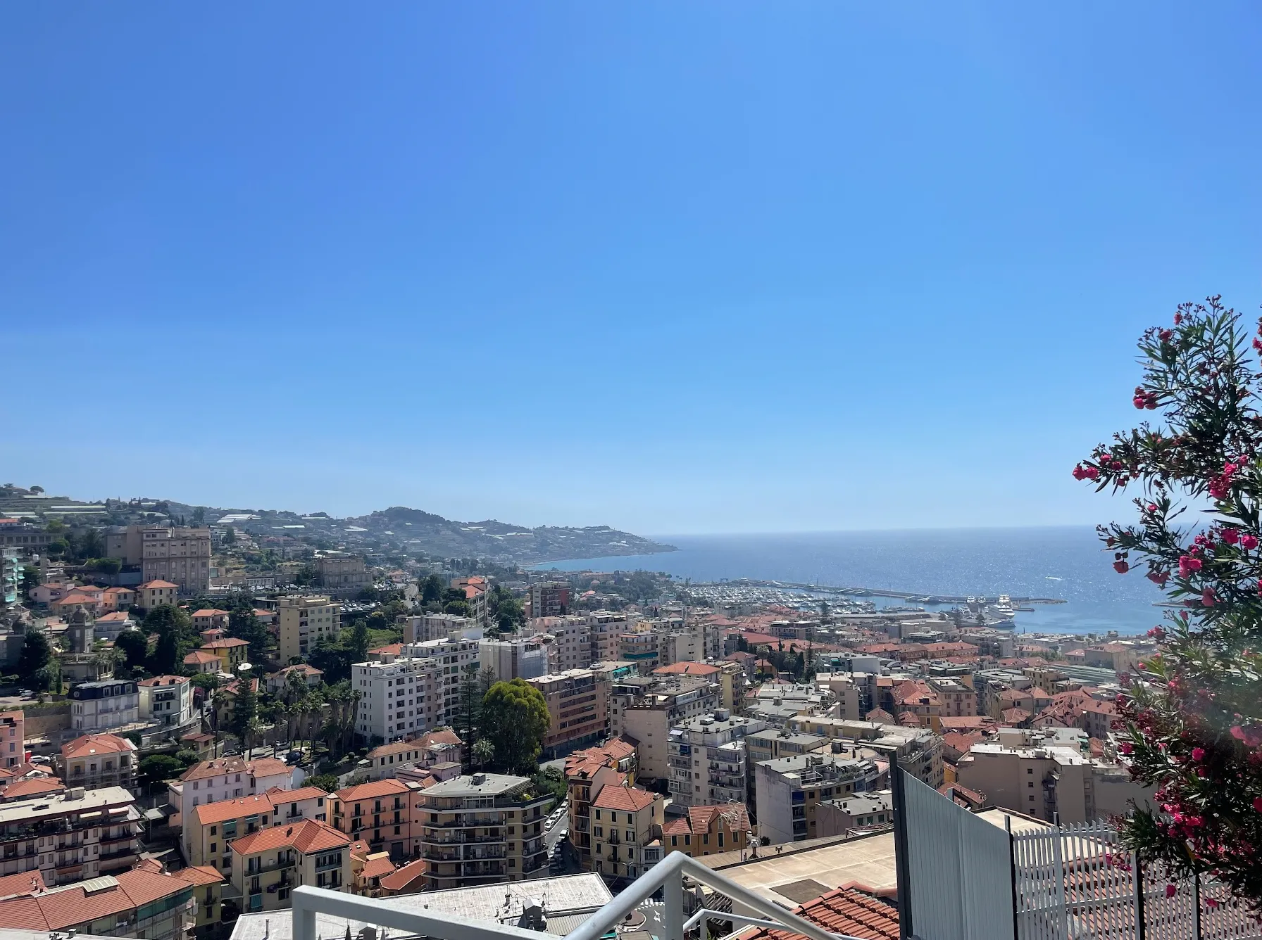
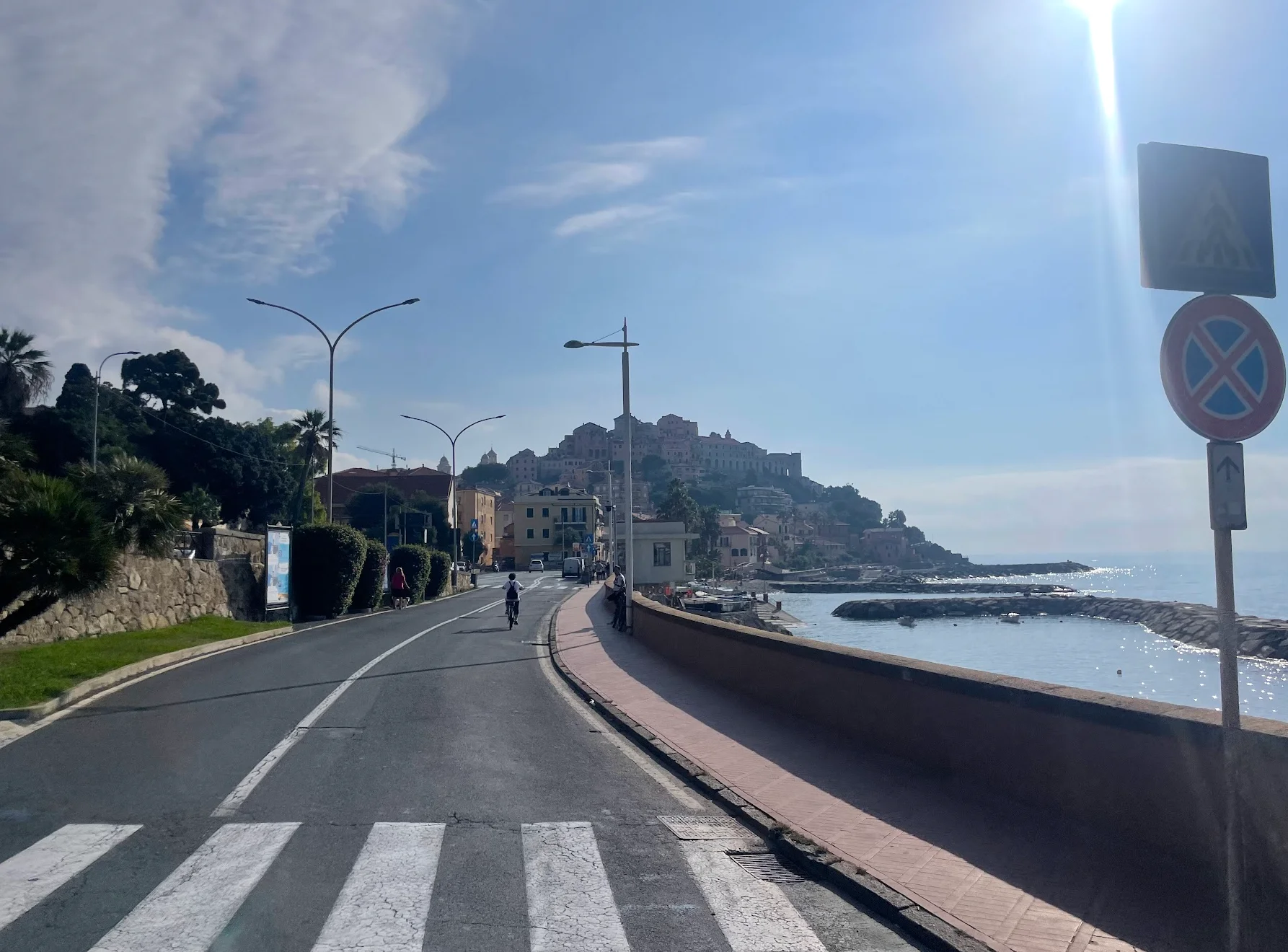
I had never heard of Salita dei Vignai before riding it, and that turned out to be part of its appeal. From San Remo the route follows the coast east for about 10 km -- flat riding at sea level, nothing more than a warm-up. Then the road turns inland and the climbing begins.
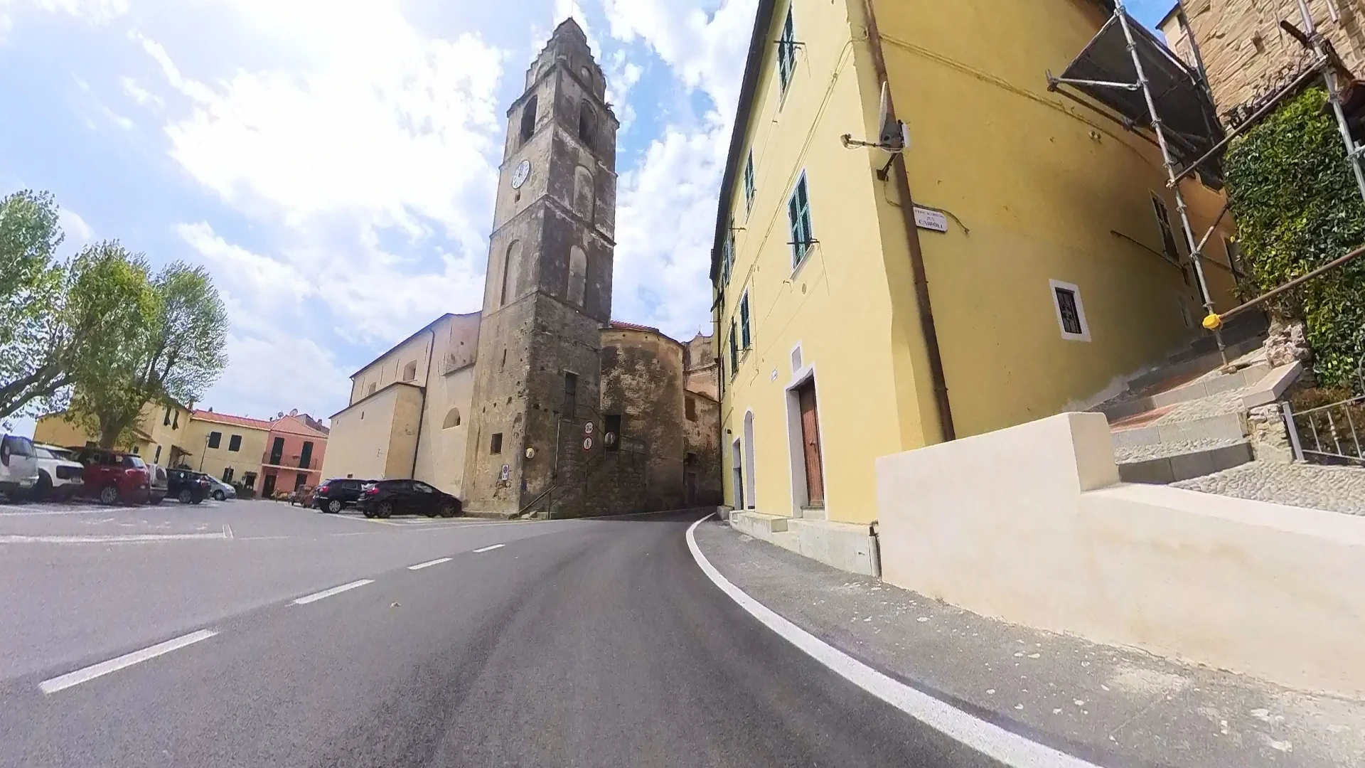
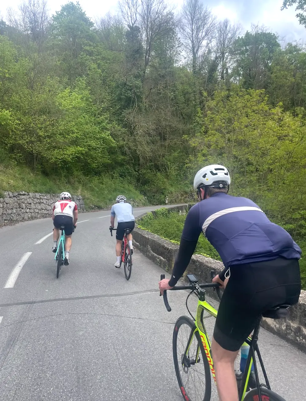
The lower slopes pass through terraced vineyards -- the name means Climb of the Vineyards, and the landscape earns it completely. Stone walls, olive groves, ancient villages clinging to the hillside. The gradient builds gradually as you gain height, and by the time I was above 500 metres the terrain had changed entirely -- pine forest replaced the vineyards, the road narrowed, and the villages disappeared.
The summit at 1,025 metres felt genuinely remote. The views over the Ligurian Alps and back toward the coast were spectacular, and the silence was striking -- no cars, no noise, just the mountain. This is not a climb you will find in any guidebook or on any pro race route, and that is exactly what makes it special.
The descent loops through the hinterland on quiet mountain roads, losing height in long sweeping curves before eventually dropping back toward the coast. The final kilometres into San Remo brought the sea back into view and the temperature rose noticeably. At 63 km with nearly 1,200 metres of climbing, this is a shorter day than Colle d'Oggia but equally demanding in terms of elevation per kilometre.
Kilometre by Kilometre
From San Remo the route heads east along the coast for approximately 10 km of flat riding at near sea level before turning inland. The road then climbs through terraced vineyards and olive groves into the Ligurian hinterland — narrow roads, ancient villages and sweeping coastal views.
The main climb of the day rises to 1,025 metres through increasingly remote terrain. The gradient is sustained throughout and the road quietens significantly above the lower villages.
A descent through the hinterland and the final coastal section returns to San Remo.
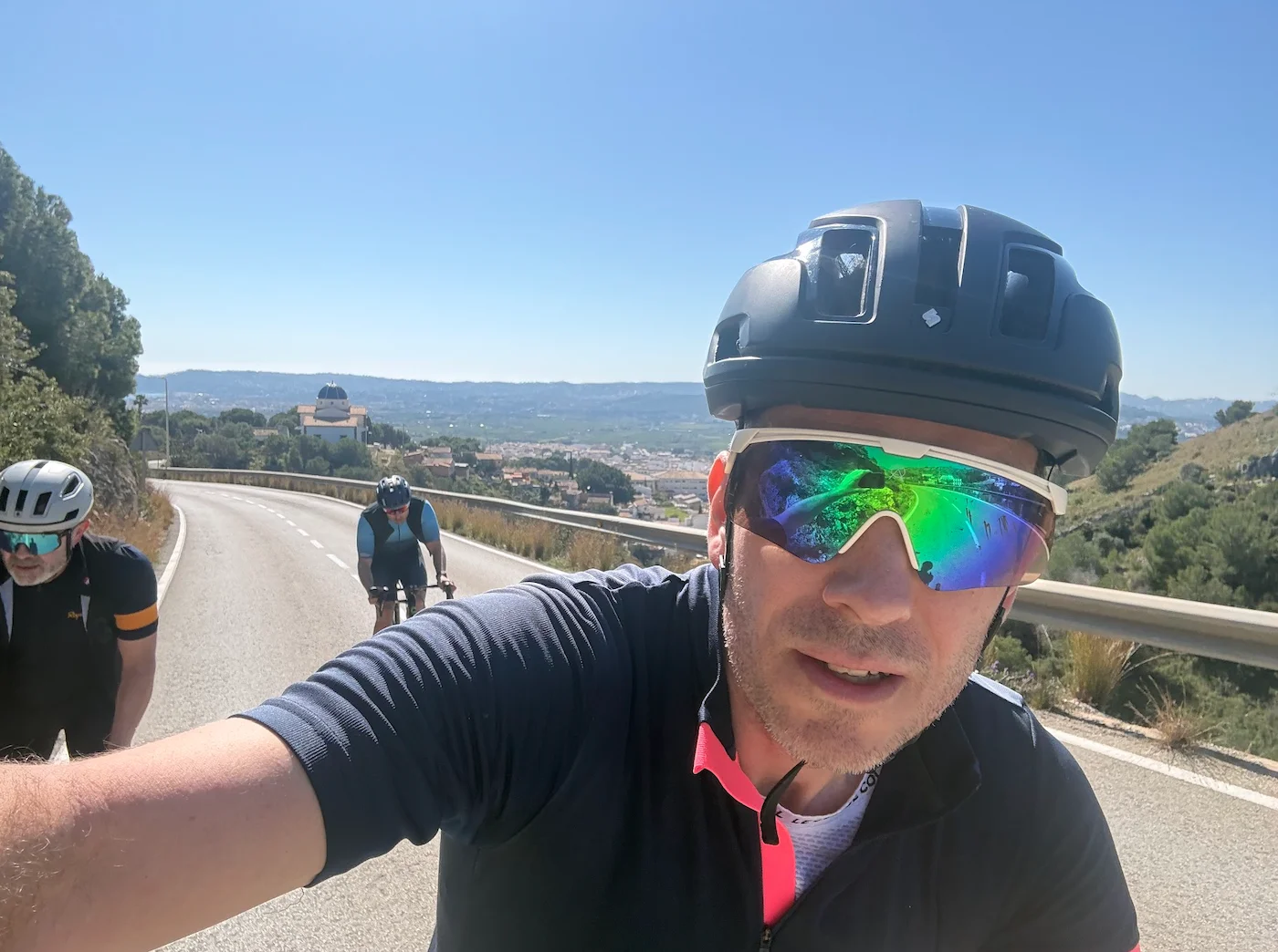
Gallery
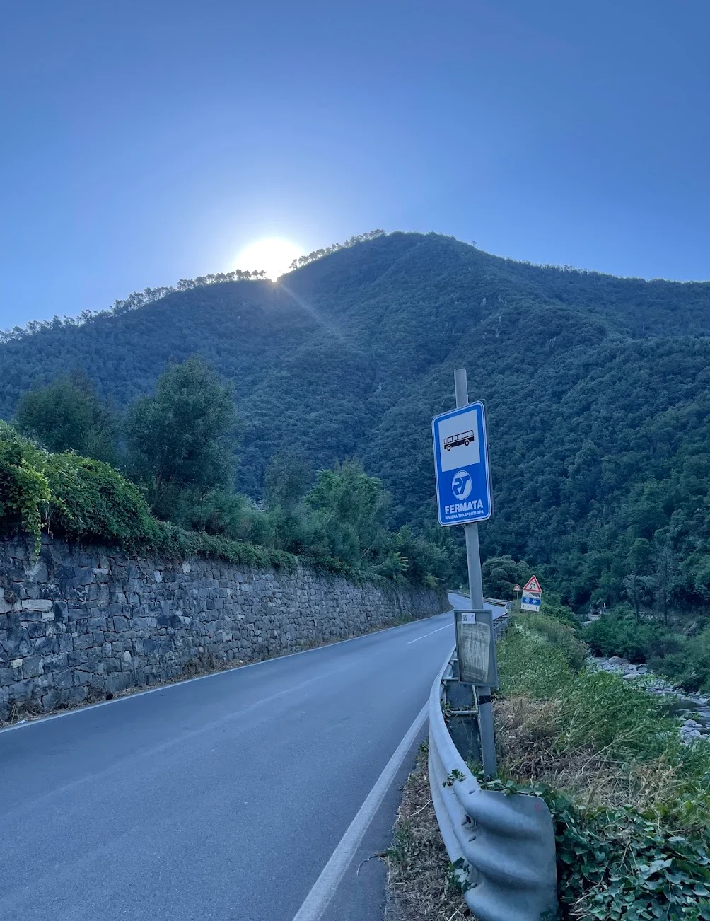
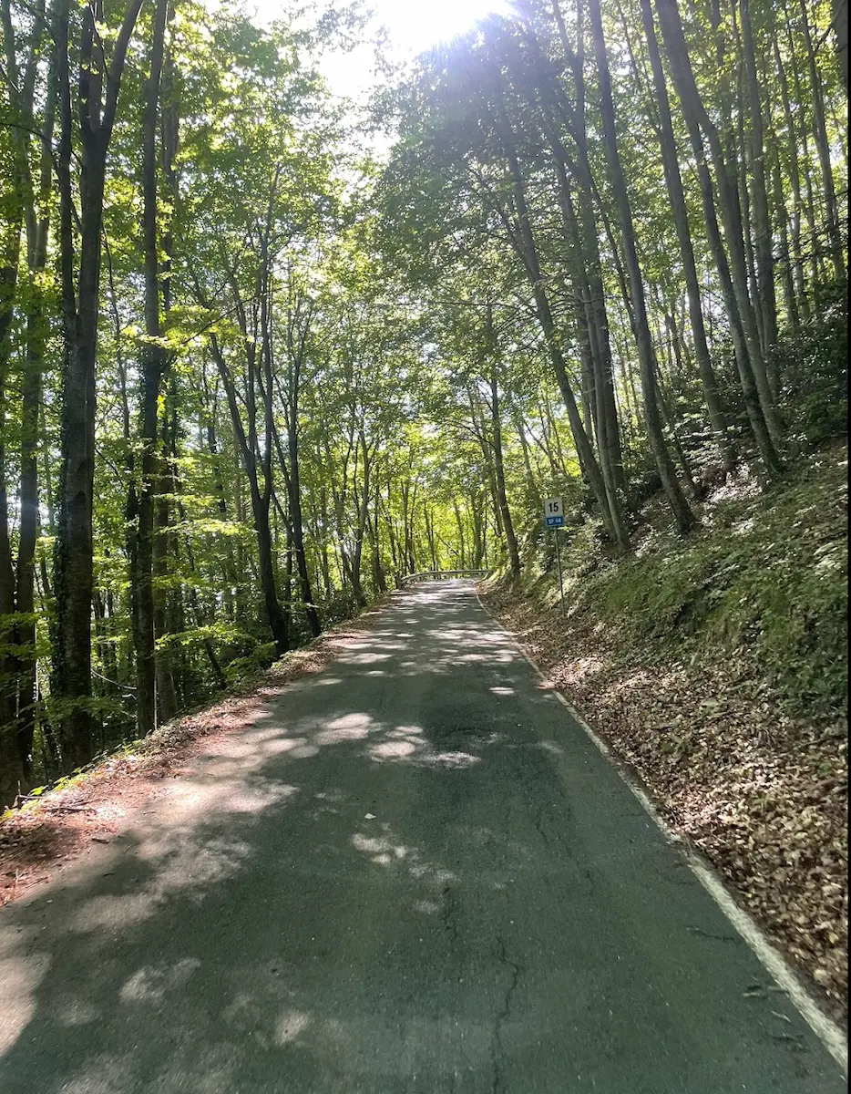
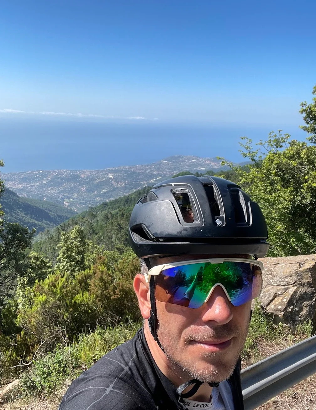
On the Road
Route map & elevation profile
Key Climbs
Ghimbegna — Bignone
Cat 3Highlights
- •Salita Vignai: A 16.4 km HC climb winding steadily from the coast up to 1,025 m. This is Liguria's quiet entroterra — backcountry terrain that most cyclists based in San Remo never discover.
- •Baiardo: The medieval village sits at 910 m and appears on the horizon as the road gains height through olive groves and vineyards — a natural reference point on the way to the summit.
- •Passo Ghimbegna: The route's high point at 1,025 m. You're rewarded with panoramic views towards the French border and Liguria's remote inland after a long, steady ascent.
- •The descent via Taggia: A long, technical drop back to the coast through dense forest with almost no traffic. A section where you can find your flow without worrying about cars.
- •Hinterland silence: Forget the busy coastal roads. Up here it's just tarmac, views, and your own rhythm — the complete absence of traffic makes this loop a different world from the seaside.
Must know
- ⚠No supplies: This is remote mountain terrain. Once you leave the coast, there are no cafés or shops. Fill your bottles before the start and make sure you have enough food in your pockets for the entire ride.
- ⚠Pace yourself: Salita Vignai is 16.4 km at 5.3% average. Don't go out too hard — the climb is relentless, and the final kilometres up to Passo Ghimbegna bite harder than the numbers suggest.
- ⚠Detour to Baiardo: Osteria Au Casun in Baiardo is the only real stop on the route, roughly 700 m off the main road. A cyclist-friendly osteria at 910 m serving proper Ligurian food — worth the detour if your legs need refuelling.
- ⚠Technical descent: The drop towards Taggia requires concentration. Keep your speed in check, especially in the shaded sections where the road can stay damp long after a sunny day.
- ⚠Best start time: Go early. You'll avoid the worst coastal heat and complete the climb in cool morning air. Recommended season: April to October.
Café & Water
- km 38Osteria Au Casun
Cyclist-friendly osteria in Baiardo at 910 m, roughly 700 m off the main route. Homemade Ligurian food and an owner who knows every bend in the road. The only real stop on this climb — worth the short detour if you need to refuel.
Frequently asked questions
- How hard is the Salita Vignai climb?
- It's 16.4 km at 5.3% average — a long, steady grind that demands endurance. It's never terrifyingly steep, but climbing from sea level to 1,025 m without any flat recovery sections means it gets tough if you start too hard.
- Is this a route for experienced cyclists?
- Yes, it requires a solid fitness base. At 63 km and nearly 1,200 m of climbing, combined with a technical descent, it suits riders used to longer mountain routes. It's not a beginner ride, but it's not extreme either.
- Are there any stops along the way?
- Almost none. The route passes through remote terrain with no on-road cafés. Osteria Au Casun in Baiardo is the only real option — a 700 m detour, but worth it for food and drink. Regardless, make sure you're self-sufficient from the start.
- When is the best time to ride Salita Vignai?
- April to October. May and June are ideal: the mountains are lush, and temperatures are comfortable. July and August can get hot on the lower sections, so start early if you're riding in peak summer.
- Where does the route start?
- Right from the centre of San Remo, at the coast. The loop takes you from the seafront up into the quiet entroterra and back via Taggia — you finish where you started, with no logistics at the far end.
Know a better line?
Submit your local route and get featured with your own author profile, Strava, Instagram and Buy Me a Coffee link.
Share a Route → →Similar routes
San Remo Cycling — Colle d'Oggia Mountain Loop
Adds Colle d'Oggia to the Vignai climb for a longer day
San Remo Cycling — Cipressa & Poggio Loop
Same San Remo base — coastal classics instead of vineyard climb
Menton Cols Loop
Adjacent Riviera region — French Maritime Alps multi-col loop
Route Details
- Country
- Italy
For experienced cyclists. Significant elevation and demanding distances.