Aurlandsfjellet
- 16.1 km
- Length
- 8.0%
- Average
- 1,280 m
- Elevation gain
- 10.0%
- Steepest 500 m
- 1,300 m(GPX)
- Summit
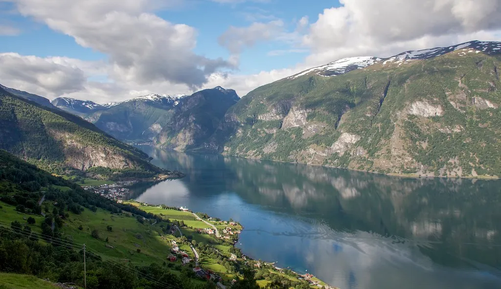
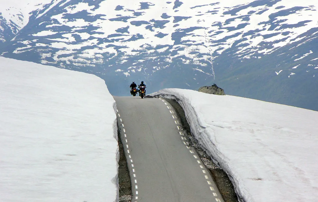
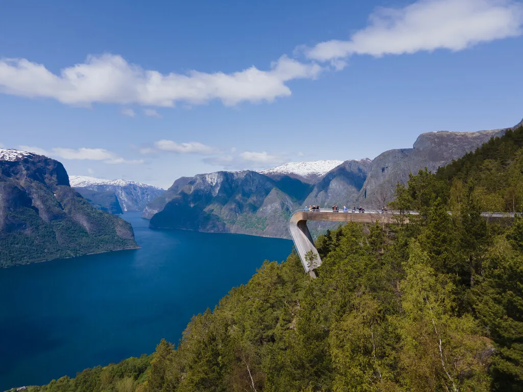
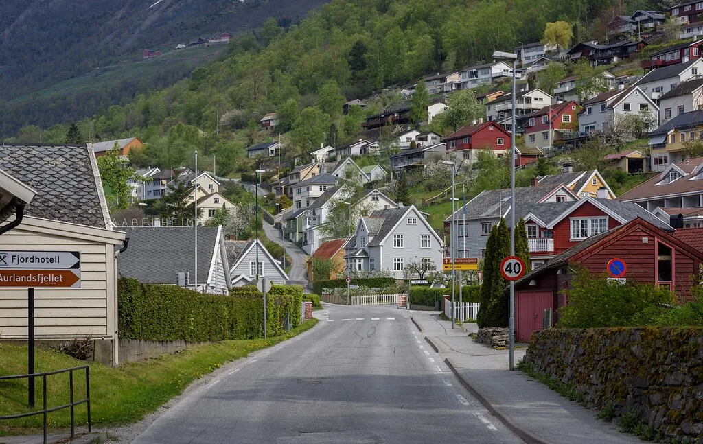
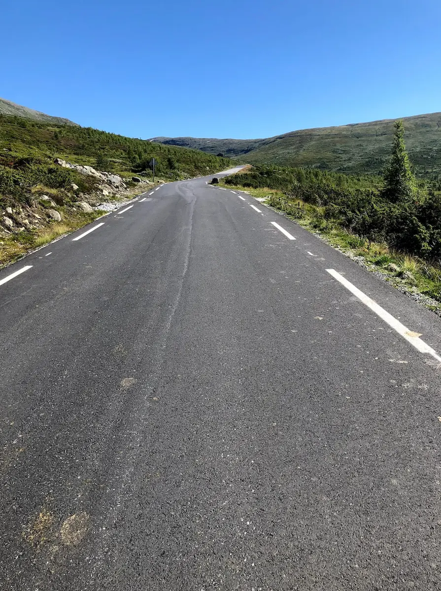
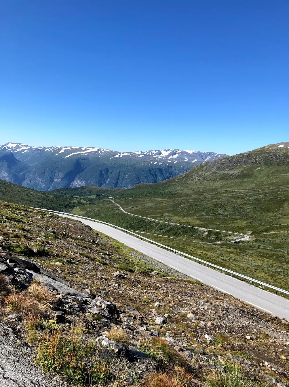
Aurlandsfjellet runs from the fjord at Aurland up onto bare mountain. The road is known as the Snow Road and is shut for much of the year. About halfway you pass Stegastein, the viewing platform that juts thirty metres out from the mountainside with the fjord far below. It is worth the stop, but the bulk of the climbing lies beyond it, and up there it is bare, open and usually windy.
How long will Aurlandsfjellet take you?
A rider at 3.0 W/kg takes about 90 minutes to climb Aurlandsfjellet.
Put in your weight and the average power you hold on the gradient. We add 9 kg for bike and kit. The model works the time out from physics, and it has been tested against real rides.
Riders
The road
The road over the Aurlandsfjellet runs between Aurlandsvangen and Lærdalsøyri, 48 kilometres in all, and is known as the Snøvegen — the snow road — because snow lies along it for much of the summer. The high point is 1,306 metres.
It opened as a summer route in 1967. The mountain section between Aurland and Lærdal is open to cars from roughly 1 June to 15 October, while the stretch up to Stegastein stays open all year.
Stegastein arrived in 2006, the same year the road became a National Tourist Route. The platform sits 7.5 kilometres from Aurlandsvangen.
The climb
This is the most even of the long climbs in the Western Fjords. From the third kilometre to the twelfth the gradient sits between eight and just under nine per cent, kilometre after kilometre, without a single section that stands out. Only the second kilometre is noticeably easier.
That means it has neither a place to recover nor a ramp that catches you out. It simply continues. Settle into a gear you can hold for an hour and accept that this is how it will be.
Stegastein comes around halfway, and the gradient does not ease there. If you want to stop, you have to decide to. The last four kilometres lighten a little, down to five or seven per cent, and that is where you notice the bare mountain around you and, usually, the wind.
Along the tourist route