Sognefjellet
- 20.99 km
- Length
- 6.5%
- Average
- 1,371 m
- Elevation gain
- 12.0%
- Steepest 500 m
- 1,398 m(GPX)
- Summit
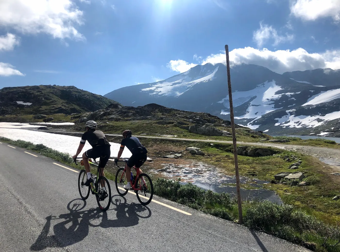
Sognefjellet is the long one. From Fortun, almost down at the fjord, the road climbs through the hairpins to Turtagrø and on up above the treeline, and you do not get so much as a glimpse of Sognefjellshytta until the very end. No brutal ramps, but no rest either until you are on the plateau — it just grinds on. When we rode it in August 2020 we arrived soaked in sweat in shorts and short sleeves, while people were skiing on freshly groomed tracks right outside the hut. In the middle of August. That contrast is Sognefjellet.
The road
Sognefjellsvegen opened in 1938, built as relief work by unemployed young people. With spades, crowbars, picks and wheelbarrows, up to two hundred of them cleared a road from each side of the mountain. Sognefjellshytta at the top began as their work barracks, and opened as a lodge in 1947.
In 1997 it became Norway's first National Scenic Route. It is closed in winter between Bøverdalen and Turtagrø, and the snow decides when it opens in spring.
From Fortun the road follows the valley floor before it winds up the mountainside in tight hairpins towards Turtagrø. Up there Hurrungane opens out, and the road carries on across the bare high plateau to Sognefjellshytta. The pass itself, Fantesteinen, the highest mountain crossing in Northern Europe, lies a little further on — but for those of us on a bike, the hut is the top.
The climb
The first kilometres out of Fortun are steeper than you expect. Then it eases through the valley. Use that stretch to find your rhythm, because afterwards the mountain does not let go: from the first hairpins until well above the treeline the gradient sits steady on the heavy side, kilometre after kilometre, without a single stretch to recover on. Turtagrø comes about halfway, and it is easy to think there that the worst is done. It is not. The road holds the same grinding pace for a good while yet.
Then it flattens. Above the treeline the landscape is wide and open, and you roll across the plateau with Hurrungane at your back. It is the only breather on the whole climb, but save a little: right at the end the road rears up one last time, the very last kilometre up to Sognefjellshytta.
What you need at the top, the weather decides. We arrived in shorts and short sleeves in August; up here in June there can be snowbanks along the road. Keep a jacket in your pocket regardless — the descent to Turtagrø is fast and exposed to the wind, and if you point downhill without one, your fingers go stiff quickly.