Dalsnibba
- 20.77 km
- Length
- 7.0%
- Average
- 1,449 m
- Elevation gain
- 10.9%
- Steepest 500 m
- 1,465 m(GPX)
- Summit
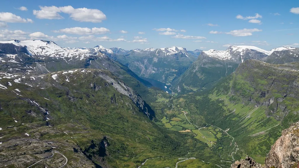
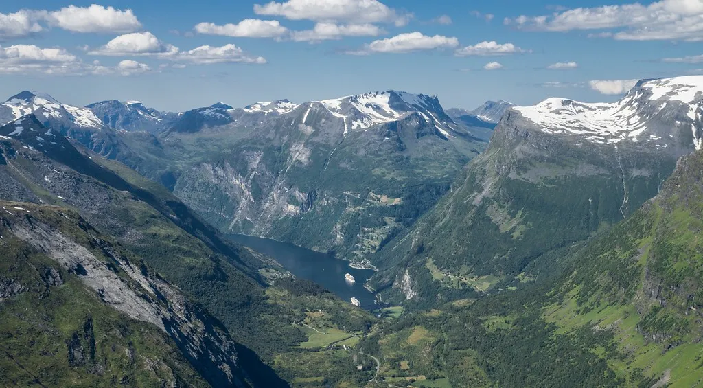
Dalsnibba is a long climb, and it starts right down at the fjord in Geiranger. The first part is a long, steady drag up the valley on the main road towards Grotli. What makes it special comes at the end: at Djupvatnet the Nibbevegen turns off, a narrow toll road of tight bends up to the viewpoint, and from there you look straight down on the Geirangerfjord. The road was built in the late 1930s and rarely opens before the middle of May.
How long will Dalsnibba take you?
A rider at 3.0 W/kg takes about 108 minutes to climb Dalsnibba.
Put in your weight and the average power you hold on the gradient. We add 9 kg for bike and kit. The model works the time out from physics, and it has been tested against real rides.
Riders
The road
The climb follows national road 63 up from Geiranger to Djupvatnet. That stretch is the Geiranger–Trollstigen National Tourist Route; at Djupvatnet the Nibbevegen branches off — a toll road to the summit of Dalsnibba at 1,476 metres.
The Nibbevegen was built by hand between 1937 and 1939, as a gravel road with little in the way of protection. It was finished in 1939, but the war intervened and it did not open officially until 19 July 1948. It is still the highest point in Norway you can reach on wheels.
The Geiranger Skywalk platform was added in 2016. From it you look out over the Geirangerfjord, Djupvatnet and the Blåbreen glacier.
The climb
The climb comes in three steps, and they are easy to tell apart.
The first is the four kilometres straight up out of Geiranger, between seven and eight and a half per cent. Then it eases for three kilometres — the seventh is almost flat. The second step is six steady kilometres at eight per cent up to Djupvatnet, and there the second pause arrives: three kilometres where the gradient drops to four and then below two.
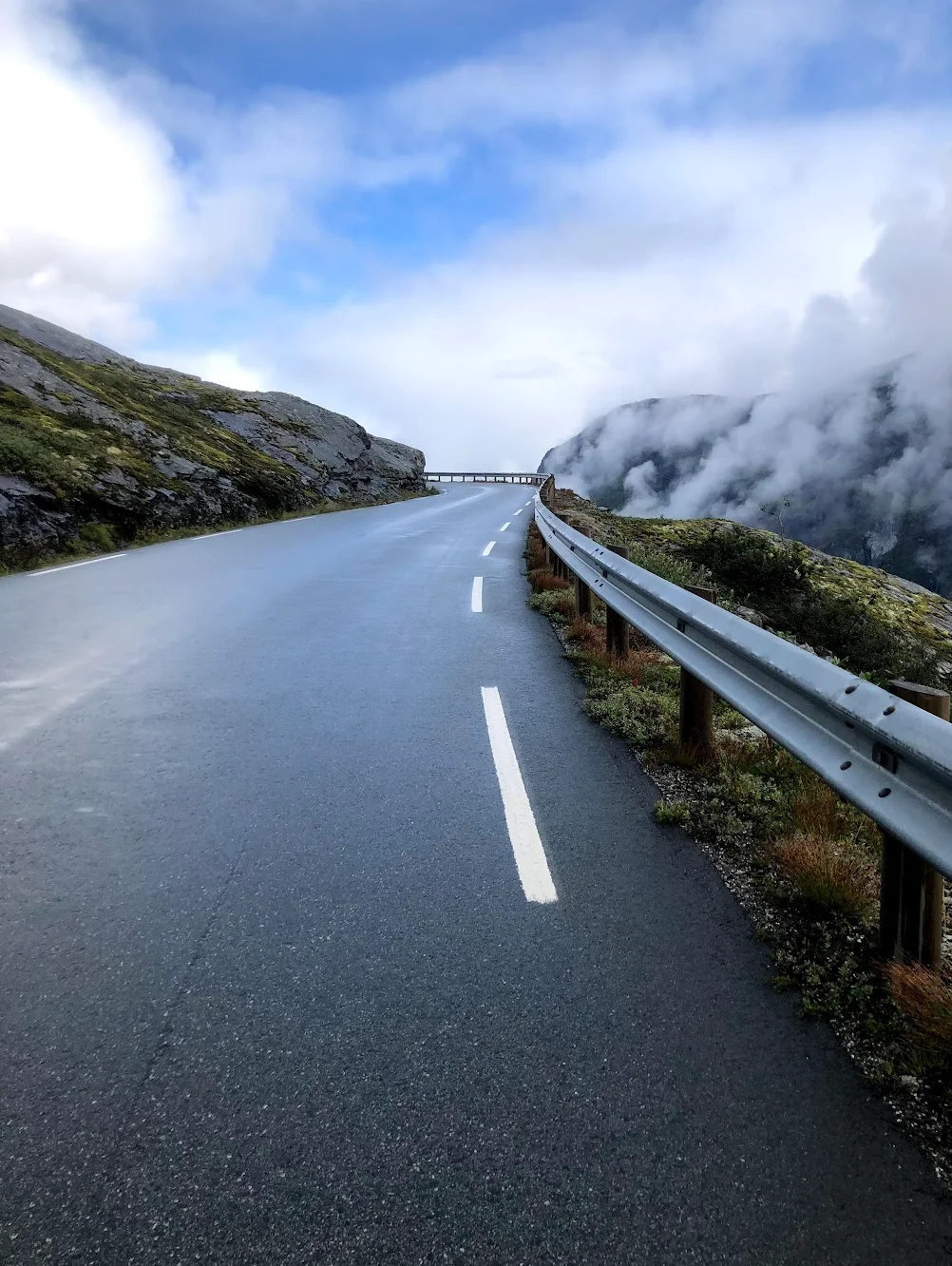
The third step is the Nibbevegen, and that is where the climb is hardest. The last four kilometres run between seven and ten per cent, three of them above nine, and the steepest ramp hits fourteen per cent almost at the top. If you used the pauses to rest, it goes well. If you used them to make up time, the last kilometres turn heavy.
The summit is close to 1,500 metres, and it is usually ten degrees colder up there than down in Geiranger.
Along the tourist route