Ørnevegen
- 6.86 km
- Length
- 8.9%
- Average
- 613 m
- Elevation gain
- 10.6%
- Steepest 500 m
- 624 m(GPX)
- Summit
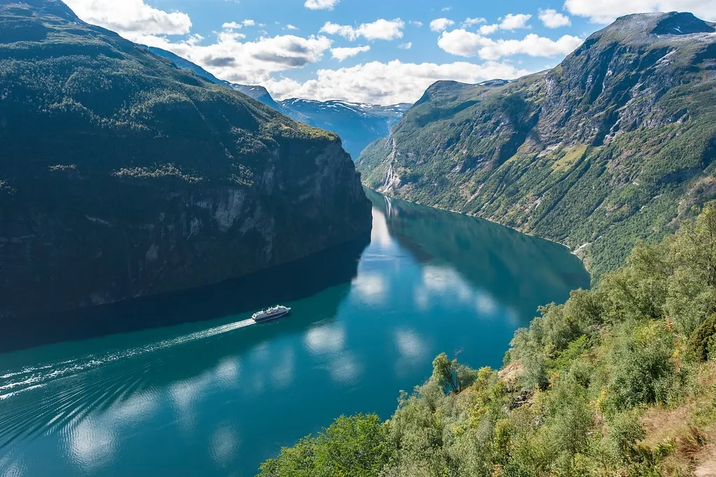
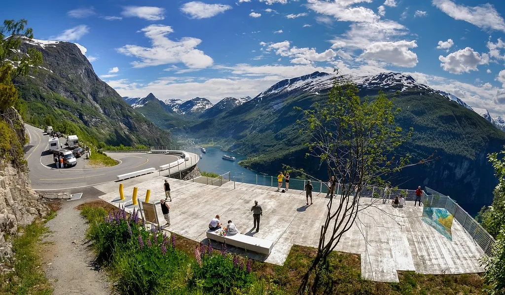
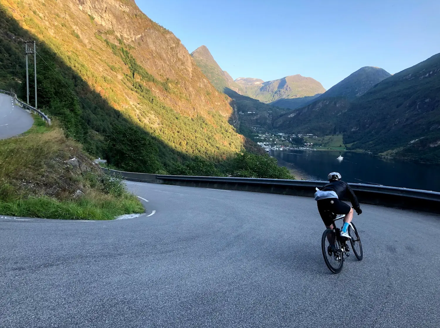
Ørnevegen is eleven bends up from the Geirangerfjord, and it is steep the whole way — this is not a climb you settle into. The view is behind you, and it gets better with every bend. In one of the upper ones sits the viewpoint at Ørnesvingen, where every tourist stops for a photograph. Do the same: from there you look straight out over the fjord and back in towards Geiranger. The road opened in 1955 and gave the village its first year-round road link.
How long will Ørnevegen take you?
A rider at 3.0 W/kg takes about 42 minutes to climb Ørnevegen.
Put in your weight and the average power you hold on the gradient. We add 9 kg for bike and kit. The model works the time out from physics, and it has been tested against real rides.
Riders
The road
The Ørnevegen is eleven hairpins on county road 63, from Grande down at the Geirangerfjord up to Korsmyra at 620 metres. It opened on 15 September 1955. Before it, all traffic to Geiranger came by boat from Valldal and Eidsdal.
The name comes from the eagles that lived around the high point.
Since 2012 the road has been part of the Geiranger–Trollstigen National Tourist Route, and the viewpoint at Ørnesvingen — the topmost hairpin — was rebuilt in the years before that.
The climb
There is no warm-up. The first kilometre sits at nine per cent and the next four between nine and ten. The steepest ramp hits fourteen per cent, and it comes just a kilometre and a half in.
The climb is short, and that is the only thing that makes it manageable: barely seven kilometres with no flat section at all and not a metre of descent. Only on the last kilometre does it let go, easing to six per cent.
The first five kilometres give you nowhere to recover — what you spend early, you do not get back. In summer you share the hairpins with the coaches running to and from Geiranger.
Along the tourist route