Sognefjellet (Lom)
Same climb, other sideSognefjellet (Fortun)20.87 km · 6.5%
- 27.76 km
- Length
- 3.0%
- Average
- 835 m
- Elevation gain
- 8.8%
- Steepest 500 m
- 1,427 m(GPX)
- Summit
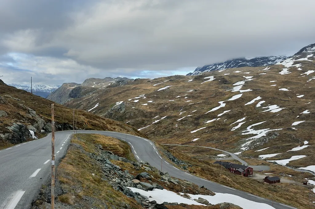
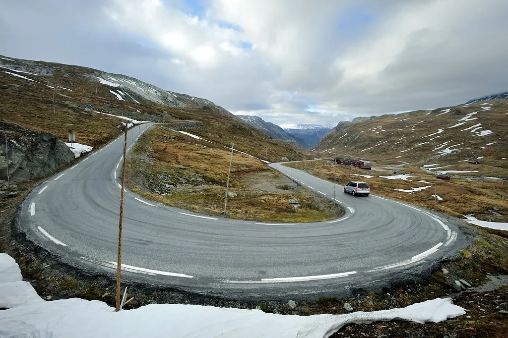
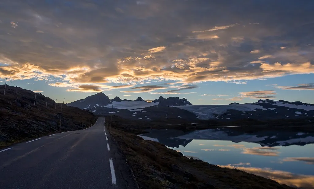
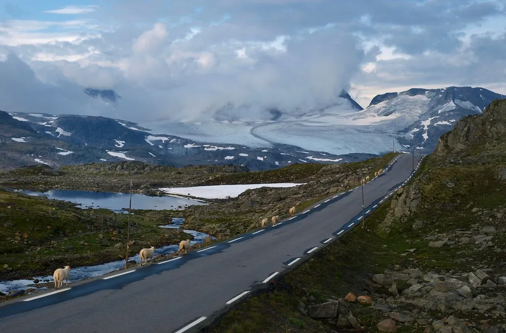
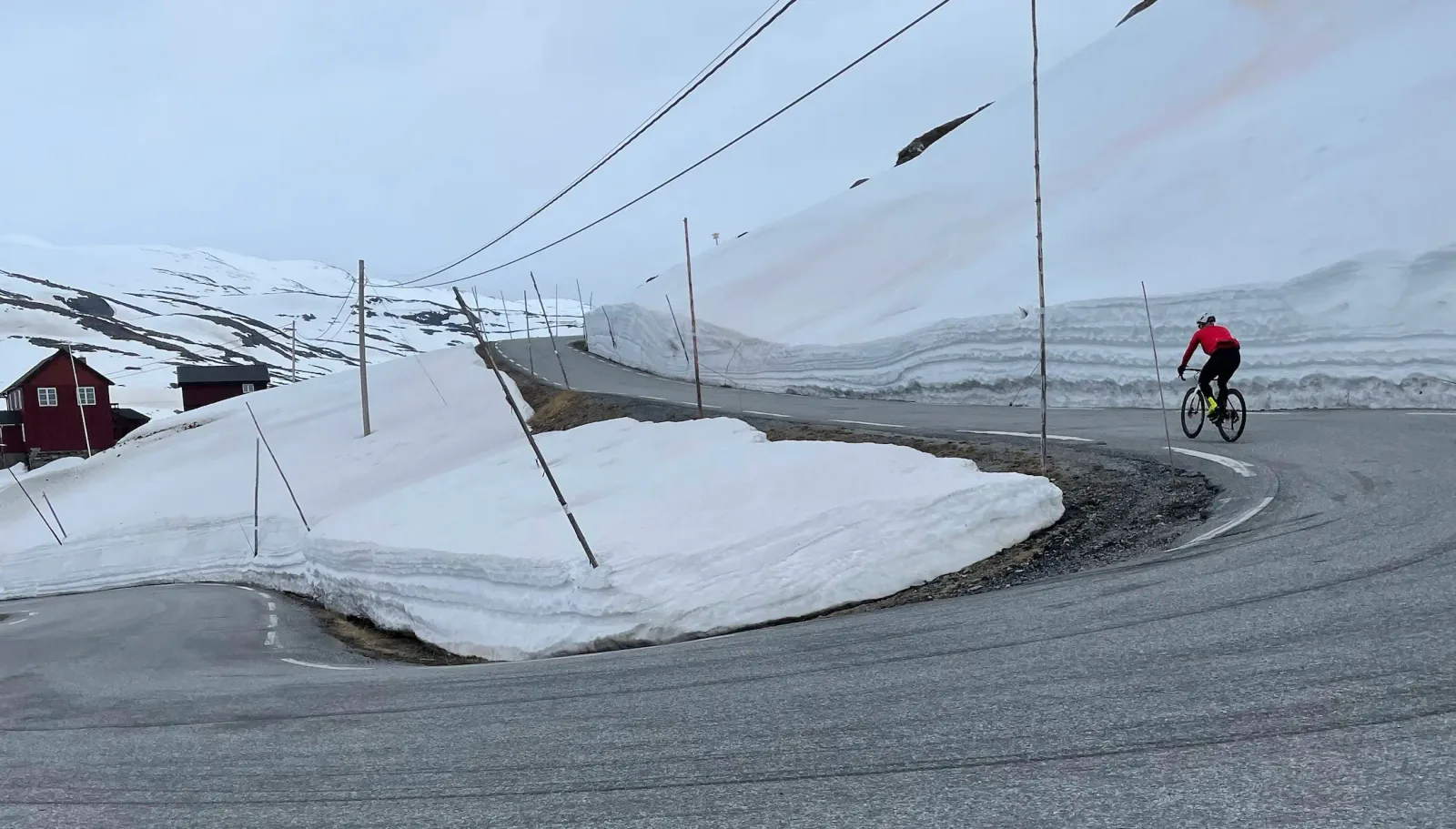
This is the stretch up towards Sognefjellet from the Lom side, and the average says little about how it feels. You get long sections at a couple of per cent, some that run downhill, and hard ramps in between. What you do get is height: Sognefjellsvegen is the highest mountain pass road in northern Europe, and at the end of May you can still ride between cut snow banks that stand taller than you do. The road is shut in winter.
How long will Sognefjellet (Lom) take you?
A rider at 3.0 W/kg takes about 94 minutes to climb Sognefjellet (Lom).
Put in your weight and the average power you hold on the gradient. We add 9 kg for bike and kit. The model works the time out from physics, and it has been tested against real rides.
Riders
The road
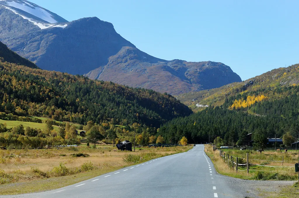
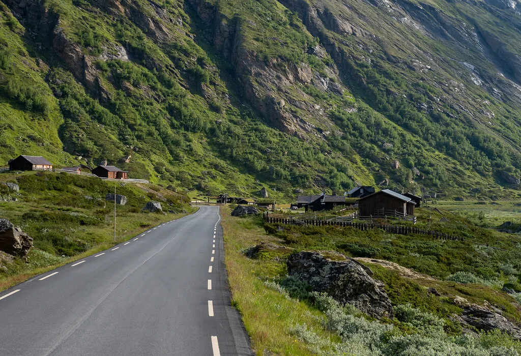
The Sognefjellsvegen is county road 55, and from Lom it runs up the Bøverdalen valley past Elveseter and on towards Krossbu. The mountain lodge there has been taking people in since 1901 and sits at 1,267 metres.
The high point is called Fantesteinen and sits at 1,434 metres. That is not just the pass height — it is the highest point on Norway's entire main road network.
The stretch from Lom to Gaupne is a National Tourist Route. It closes in winter between Bøverdalen and Turtagrø, and when it opens in spring is decided by the snow.
The climb
The three per cent average tells you almost nothing here, because the climbing comes in three bursts with long pauses between them.
The first seven kilometres out of Lom sit below three per cent — that is the approach, not the climb. Then comes the first burst: four kilometres between six and seven per cent up the valley. After that it flattens out completely, and from the twelfth to the eighteenth kilometre the road actually descends in long stretches. Altogether you give back 129 metres of height along the way.
The last burst is the one that counts. From the twenty-second kilometre the road rises again and holds six to eight per cent almost all the way in, with the hardest kilometre second to last. That is where you notice that the twenty kilometres behind you were not free, however gentle they looked.
Carry a windproof in your pocket. The top is above 1,400 metres, and it is a long way between places to shelter.
Along the tourist route