Oslomarka Rundt gravel edition
About this Route
← Oslo & Oslofjord Cycling GuideTake the train to Asker and ride back to Oslo through the forests around the city. 136.5 km and 2,878 m of climbing on gated forest roads, with a spur to Gyrihaugen at 682 m and coffee stops in Sørkedalen and at Mariholtet.
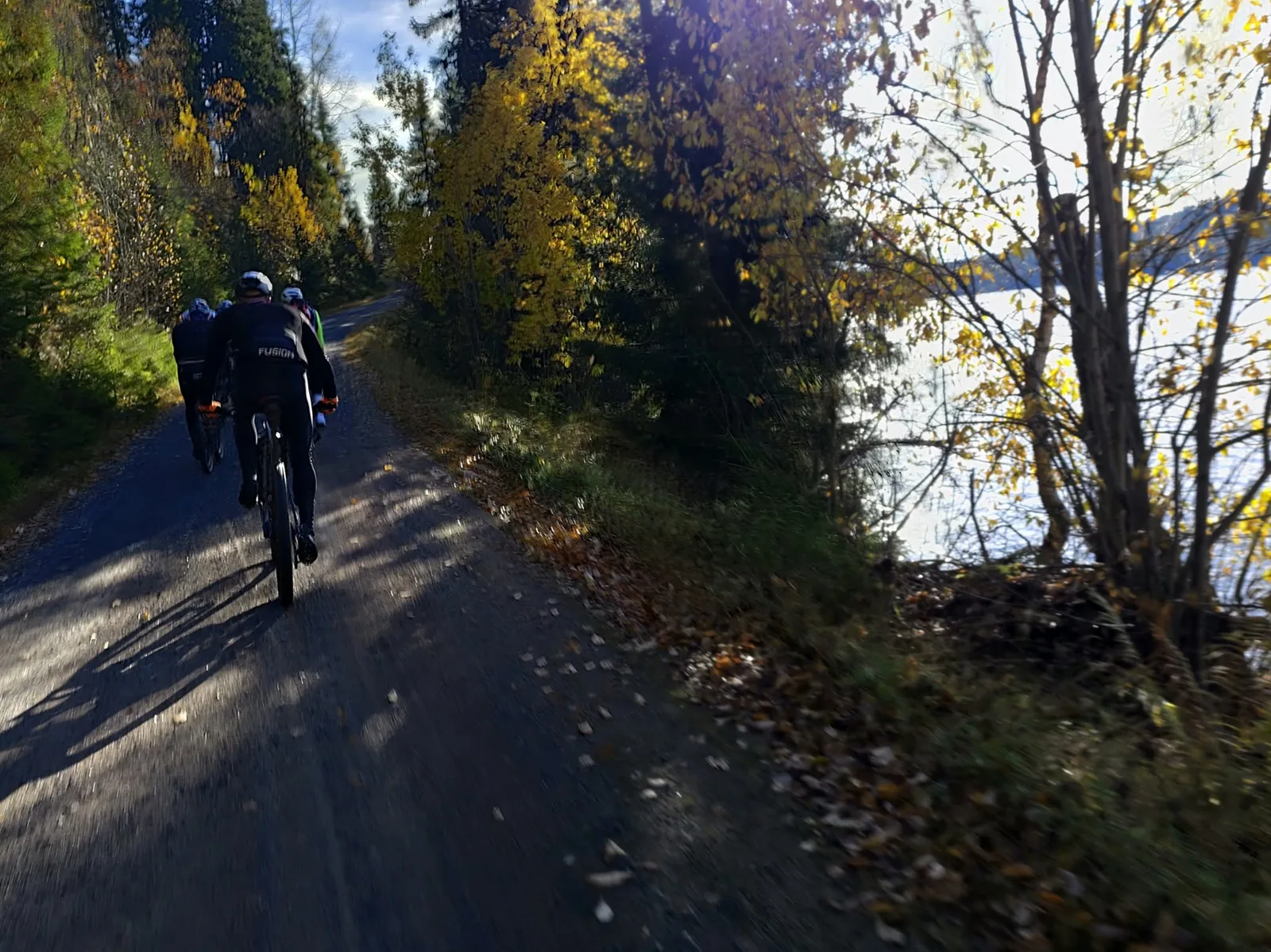
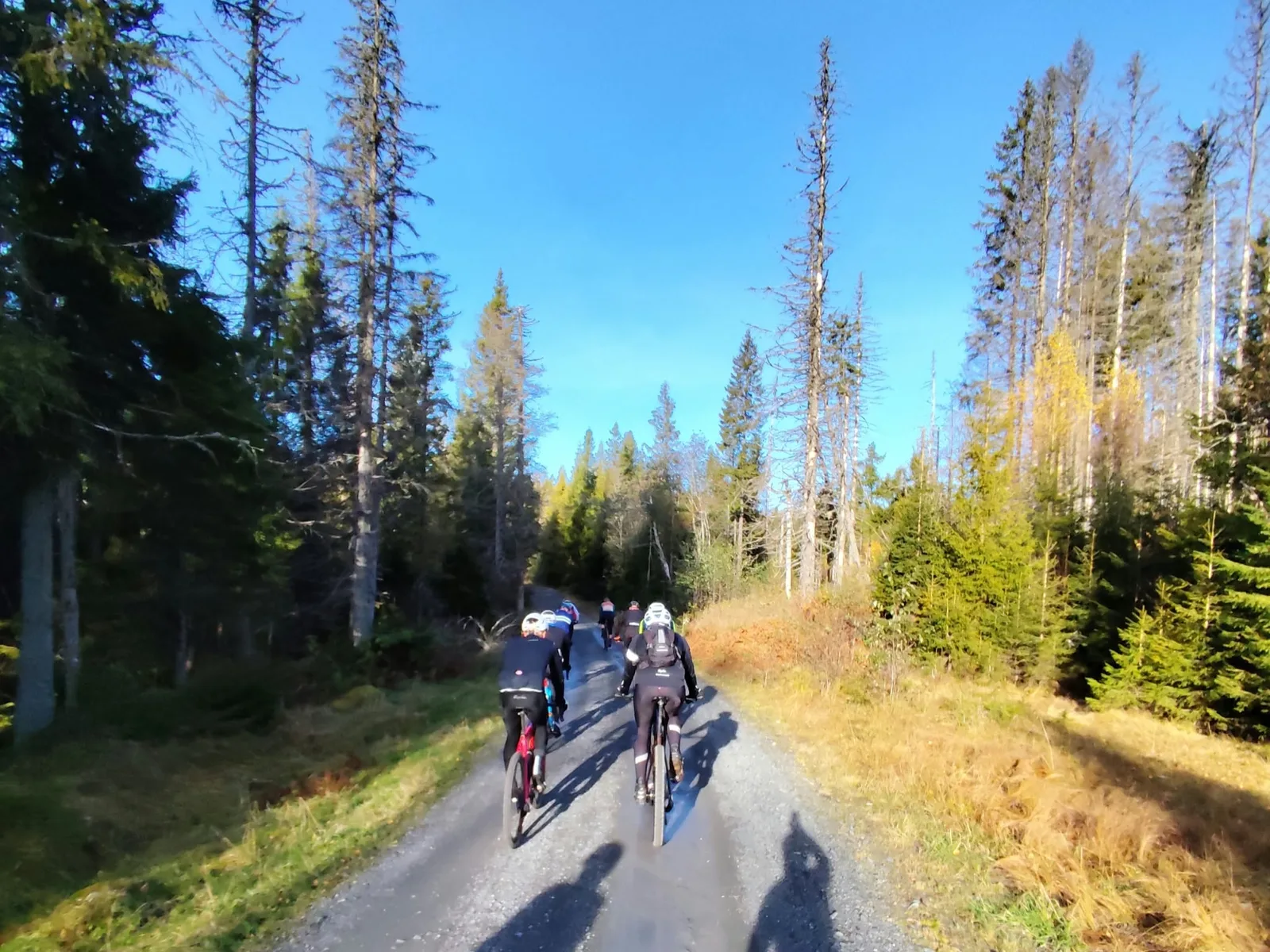
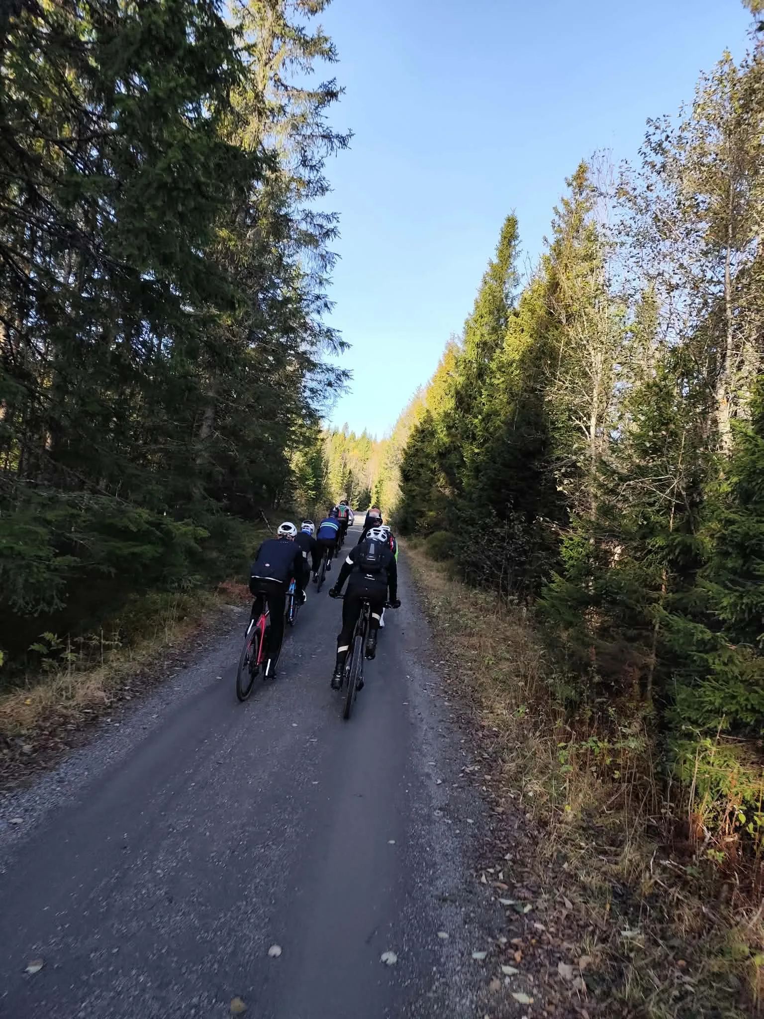
Take the train from Oslo S to Asker and start straight from the station. From there the route runs through Vestmarka, Krokskogen, Nordmarka, Lillomarka, Gjelleråsmarka and Østmarka and finishes in Bjørvika, a few hundred metres from Oslo S. It is 136.5 km long with 2,878 m of climbing. Almost all of it is on gated forest roads, with tarmac only between the forests and on the last few kilometres into the centre.
Around two thirds of the climbing comes before Kobberhaughytta at 83 km. After that the climbs get shorter, but the road keeps rising and falling all the way to Østmarka.
Vestmarka
The first five kilometres through Asker and past Sem are flat. After Semsvann the first climb begins. It is 2.9 km long at an average of 7.4 %, with a couple of hundred metres at 14 % past Ringibonn just before the top. That is a steep start to a long day, so hold back. Up at around 370 m the gravel rolls past Fløyta, where the Furuholmen café sits at 12 km. After Haugsvollen the road gains 130 m in two kilometres towards Langåshytta, then drops past Svartvann to Sollihøgda. There you ride three kilometres on the old Ringeriksveien before turning off onto a forest road towards Krokskogen.
Krokskogen and Gyrihaugen
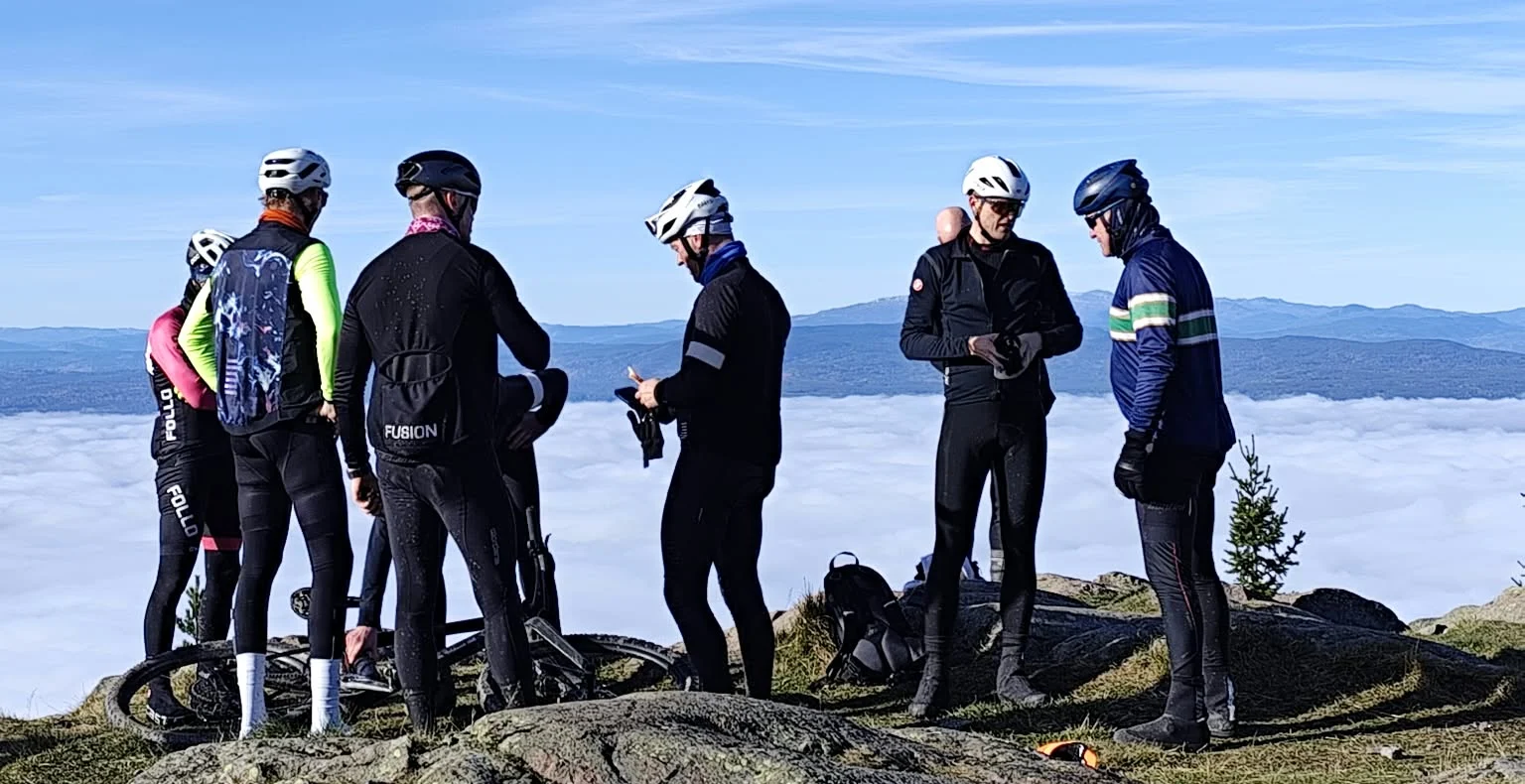
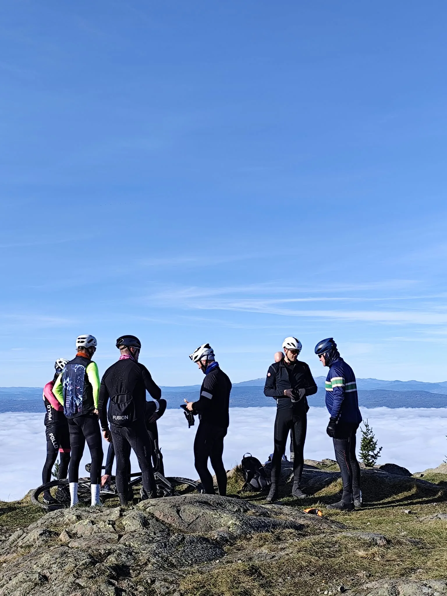
From Sollihøgda the road climbs steadily to the plateau, and by Sørsetra at 32 km you are up at around 390 m. At km 35 the route passes right by Dronningens utsikt and Kronprinsens utsikt, two viewpoints on the edge of the plateau looking down on Tyrifjorden. After Bjørkevad the climb towards Gyrihaugen begins. Up past Fjellsetra to Gyrihaugseter at 520 m there are a few steep pitches with easier stretches in between. From there you take the spur to the top. It is 1.8 km long at an average of 8.4 %, but it is uneven, with several pitches at 15–18 %. The summit is at 682 m and is the highest point of the route. The Norwegian armed forces built the road for a radar station that was never installed, and it ends at a turning area on bare rock. From here you look out over Ringerike and Tyrifjorden, and on a day with fog in the lowlands you stand above the cloud.
The spur is the top section of the climb from Åsa on Steinsfjorden. The Norwegian cycling magazine Landevei calls it the longest climb in Nordmarka, at around 620 m. This route doesn't ride it from the bottom, but on the way down you follow the same road past Gaupeskardet to Gyrihaugsvingen, a little over 330 m lower. The descent is steep, with long stretches at around 10 %.
Stubdal, Damtjern and Storflåtan
From Gyrihaugsvingen the road goes straight back up to Stubdal, 1.6 km at an average of 7.4 %. At Damtjern, after 55 km, the local sports club NUIL runs a warming hut with food and drink. It isn't open every day, so check before you go. The route then runs flat for five kilometres at around 460 m along Storflåtan, one of the larger lakes in Nordmarka. After Aurtjern the road climbs slowly to around 540 m at 64 km. From here it is mostly downhill past Langlivatnet and Kjelsåskulpene. There are few people on this stretch and no shops before Sørkedalen. The last few kilometres down to Sørkedalen are steep, and you come out of the forest by the farms in the valley.
Sørkedalen and Kobberhaughytta
Sørkedalen Landhandel is in the valley at around 78 km. Fill your bottles and eat properly here, because the climb out of the valley is one of the hardest on the route. It runs past Finnerud to Kobberhaughytta, is 4.6 km long and averages 5.3 %, with a kilometre at around 10 % early on. With 80 km in your legs you feel it. Kobberhaughytta is a Norwegian Trekking Association (DNT) cabin with a café, and it bakes its own buns. It closes for a spell in midsummer.
Ullevålseter and Maridalen
From Kobberhaughytta at around 400 m it is mostly downhill past Blankvann to Ullevålseter at 88 km. Ullevålseter is one of the best-known forest cafés in Nordmarka. It was recorded as a summer farm under Ullevål as early as 1723, and the same family has run the café since 1927. It is open all year, but not every day of the week. On fine weekends it is busy with walkers and cyclists, so keep your speed down. From Ullevålseter the road drops steeply past Sørseter, and you come out in Maridalen at Nes teglverk, at the northern end of Maridalsvannet. The lake is Oslo's main source of drinking water, and the tarmac around it is the city's most-ridden training loop for road cyclists. You'll find it on the site as the Maridalen Loop.
Lillomarka and Gjelleråsmarka
From Maridalen to Solemskogen it is 5.7 km with just over 200 m of climbing, and the last kilometre has several short ramps at 12–15 %. Lillomarka is smaller than Nordmarka, and the roads twist more. The gravel passes the Puttene lakes and runs along Breisjøen, which has supplied Oslo with drinking water since 1930 and is fenced off. At Steinbruvann, after 105 km, is the Krutthuset café. Steinbruvann was a drinking-water reservoir too, but today it is a popular swimming lake. At Tokerud you cross Trondheimsveien into Gjelleråsmarka, where Liastua serves simple food. After Liastua come a few kilometres of tarmac and cycle path through Stovner to Karihaugen.
Østmarka and into the city
From Ellingsrudlia you are in Østmarka, the last forest on the route. Mariholtet Sportsstue is by the road at 122 km. It was once a crofter's holding under Ellingsrud farm, and today it is known for coffee and buns. A hundred metres after Mariholtet comes the junction where you can take a detour up to Haukåsen. The radar dome on the top, at 357 m, can be seen from much of Oslo, and the detour adds around 150 m of climbing. The route continues through Kavlebrudalen and down to Rustadsaga at the southern end of Nøklevann. A sawmill stood here from the late 1600s until 1954, and today there is a café and the lake's paddling club. Nøklevann supplied Oslo with drinking water from 1903 to 1983. After Rustadsaga you ride on city streets and cycle paths past Abildsø and Ryen, then down through Kværnerbyen and Gamlebyen to Bjørvika. From here it is a short way back to Oslo S.
Kilometre by Kilometre
Flat from the station through Asker and past Sem. Use these kilometres to warm up before the first climb.
220 m of climbing past Ringibonn, with a couple of hundred metres at 14 % just before the top. Don't push too hard this early.
The gravel mostly drops past Fløyta, where the Furuholmen café sits at 12 km.
130 m in two kilometres towards Langåshytta, then up and down past Svartvann and down towards Sollihøgda.
Three kilometres on the old Ringeriksveien at Sollihøgda, then a steady climb on forest road to Sørsetra at around 390 m.
Along the edge of Krokskogen past Dronningens utsikt and Kronprinsens utsikt at km 35, with Tyrifjorden below. Then down to Bjørkevad.
The climb past Fjellsetra to Gyrihaugseter at 520 m, with a few steep pitches and easier stretches in between.
The spur to the top is 1.8 km long at an average of 8.4 %, with several pitches at 15–18 %. The summit at 682 m is the highest point of the route.
Back down the same road to Gyrihaugseter and on past Gaupeskardet to Gyrihaugsvingen, a little over 330 m lower. Then straight back up to Stubdal, 1.6 km at 7.4 %.
The warming hut at Damtjern at 55 km, then five flat kilometres along Storflåtan before the road climbs slowly to around 540 m.
Mostly downhill past Langlivatnet and Kjelsåskulpene, with no shops. The last few kilometres down to Sørkedalen are steep.
From Sørkedalen Landhandel up past Finnerud to Kobberhaughytta, 4.6 km at an average of 5.3 %, with a kilometre at around 10 % early on.
Mostly downhill past Blankvann to Ullevålseter at 88 km, then steeply down past Sørseter to Nes teglverk by Maridalsvannet. Busy on fine weekends.
5.7 km with just over 200 m of climbing, including several short ramps at 12–15 % in the last kilometre.
Twisting gravel past the Puttene lakes and along Breisjøen, then the Krutthuset café at Steinbruvann at 105 km and on down to Tokerud.
Liastua in Gjelleråsmarka, then tarmac and cycle path through Stovner to Karihaugen.
From Ellingsrudlia to Mariholtet at 122 km, with the Haukåsen turn-off a hundred metres later. On through Kavlebrudalen and down to Rustadsaga by Nøklevann.
City streets and cycle paths past Abildsø and Ryen, then down through Kværnerbyen and Gamlebyen to Bjørvika, a short way from Oslo S.
Gallery
Route map & elevation profile
Highlights
- •Gyrihaugen: The highest point of the route at 682 m, reached by a spur with pitches of 15–18 %. On a fog day you stand above the cloud.
- •Kronprinsens utsikt: At km 35 the route runs along the edge of Krokskogen, looking down on Tyrifjorden.
- •Storflåtan: Five flat kilometres at around 460 m beside one of the larger lakes in Nordmarka.
- •Ullevålseter: Recorded as a summer farm in 1723, with the same family running the café since 1927. You reach it at 88 km.
- •Mariholtet: Coffee and buns in Østmarka at 122 km, with the turn-off for Haukåsen a hundred metres further on.
Must know
- ⚠Point-to-point: The route runs from Asker station to Bjørvika. Take the train from Oslo S to Asker before the start, and you finish a few hundred metres from where you boarded.
- ⚠Food and water: Sørkedalen Landhandel at 78 km is the only shop in the forest. The forest cafés along the way are not open every day, so carry enough food.
- ⚠Navigation: The forest has a dense network of junctions, and signposts name lakes and cabins rather than towns. Ride from the GPX.
- ⚠Tarmac: Three kilometres on the old Ringeriksveien at Sollihøgda and a few kilometres through Stovner and into the centre. The rest is gravel.
- ⚠Forest traffic: The gated roads are closed to cars but not to timber lorries and forestry machines. Around Ullevålseter and in Østmarka it is busy at weekends.
- ⚠Autumn: Short days, frosty mornings and moose hunting from late September. Carry lights and a spare layer, and stay off the ski trails once the snow arrives.
Café & Water
- km 77.9Sørkedalen Landhandel
Fill your bottles and eat here. The climb to Kobberhaughytta comes straight after, with 80 km in your legs.
Frequently asked questions
- Which forests does the Oslomarka Rundt gravel edition pass through?
- Vestmarka, Krokskogen, Nordmarka, Lillomarka, Gjelleråsmarka and Østmarka, in that order. The route starts at Asker station and finishes in Bjørvika, so it is not a loop. Take the train from Oslo S to Asker before the start.
- Can I ride it on a road bike?
- No. Almost the whole route is on gravel forest roads, with tarmac only on short links between the forests and into the centre. Use a gravel bike with mid-width tyres. After the spring snowmelt the gravel can be soft.
- Where can I eat and fill my bottles?
- Sørkedalen Landhandel at 78 km is the only shop in the forest. You also pass forest cafés such as Furuholmen, Sørsetra, the warming hut at Damtjern, Finnerud Sportsstue, Kobberhaughytta, Ullevålseter, Krutthuset at Steinbruvann and Mariholtet. None of them is open every day, so check before you go and carry enough food.
- What is the hardest part of the ride?
- The spur to Gyrihaugen is 1.8 km long at an average of 8.4 %, with several pitches at 15–18 %. The climb from Sørkedalen to Kobberhaughytta is longer, 4.6 km at an average of 5.3 %, and it comes after 80 km. Around two thirds of the climbing comes before km 83.
- When is the best time to ride it?
- June to mid-October. Late September and October bring yellow birch and a chance of fog in the lowlands seen from Krokskogen, but the days are short and it is moose-hunting season. From around November many forest roads are groomed as ski trails, and then they are off limits to bikes.
Know a better line?
Submit your local route and get featured with your own author profile, Strava, Instagram and Buy Me a Coffee link.
Share a Route → →